Eilean Monessie
Island in Inverness-shire
Scotland
Eilean Monessie
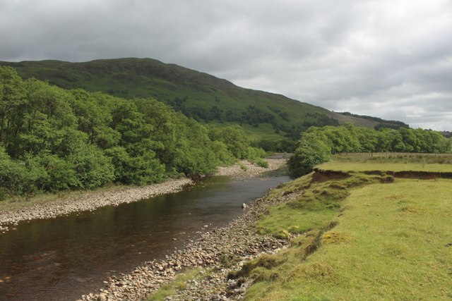
Eilean Monessie is a small island located in the Monessie Bay, off the west coast of Inverness-shire, Scotland. It is situated approximately 12 miles northwest of the town of Inverness and covers an area of around 35 acres. The island is privately owned and can only be accessed by boat.
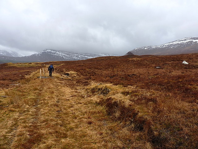
This picturesque island is known for its stunning natural beauty and peaceful surroundings. It features a diverse landscape, including rugged cliffs, rocky shores, and lush greenery. The island is home to a variety of wildlife, including sea birds, seals, and occasionally dolphins, making it a popular spot for birdwatching and nature enthusiasts.
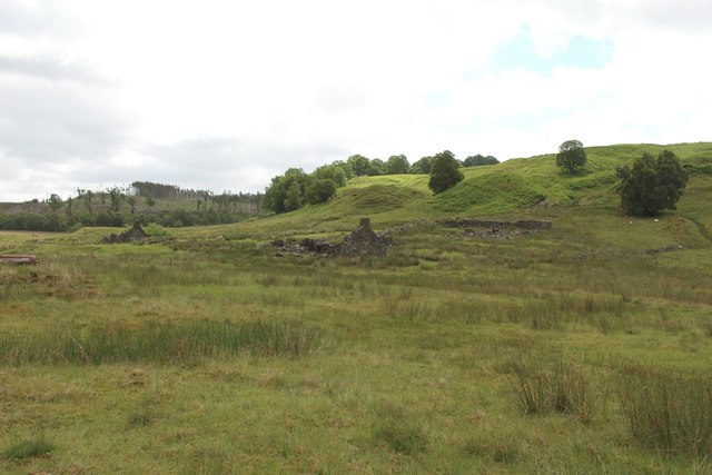
Eilean Monessie is also rich in history and has several historical landmarks. The most prominent feature on the island is Monessie Castle, a 16th-century tower house that was once home to the Clan Fraser. The castle stands in ruins today but still retains its charm and offers a glimpse into the past.
Visitors to Eilean Monessie can enjoy activities such as hiking, picnicking, and exploring the coastline. The island is a great place for those seeking tranquility and a break from the hustle and bustle of everyday life. It is a perfect destination for those who appreciate nature, history, and a sense of adventure.
Overall, Eilean Monessie is a hidden gem in Inverness-shire, offering a unique and peaceful experience for those who have the opportunity to visit.
If you have any feedback on the listing, please let us know in the comments section below.
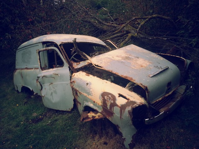
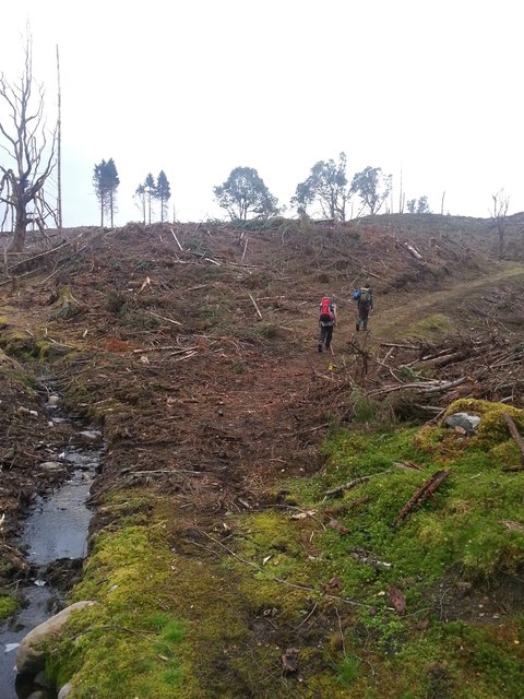
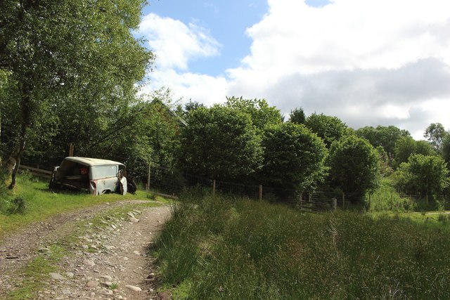
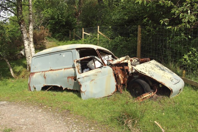
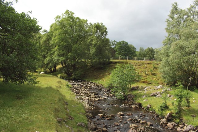
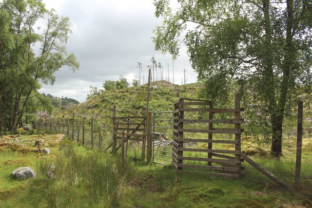
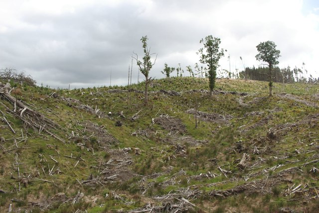
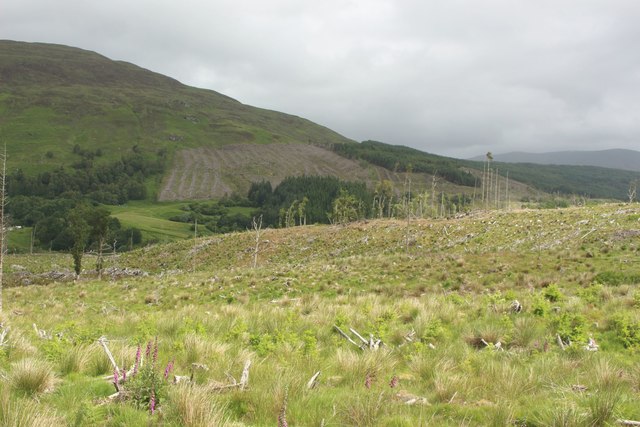
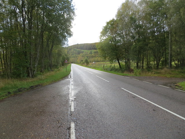
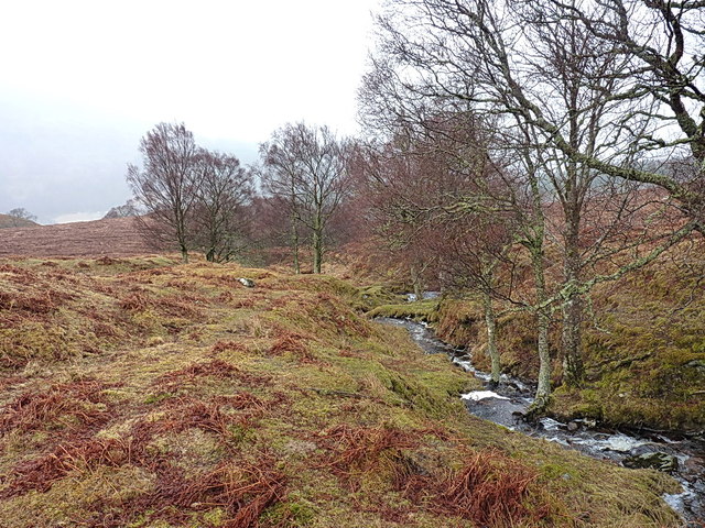
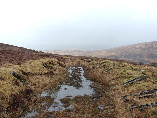
Eilean Monessie Images
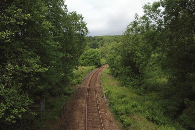
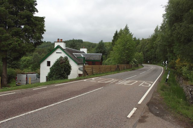
Images are sourced within 2km of 56.887565/-4.7924876 or Grid Reference NN2980. Thanks to Geograph Open Source API. All images are credited.

Eilean Monessie is located at Grid Ref: NN2980 (Lat: 56.887565, Lng: -4.7924876)
Unitary Authority: Highland
Police Authority: Highlands and Islands
What 3 Words
///freedom.loafer.skimmers. Near Gairlochy, Highland
Nearby Locations
Related Wikis

Achluachrach
Achluachrach (Gaelic: Ach Luachrach) is a small settlement in Glen Spean in Lochaber, in the Highland council area of Scotland. It is located on the A86...
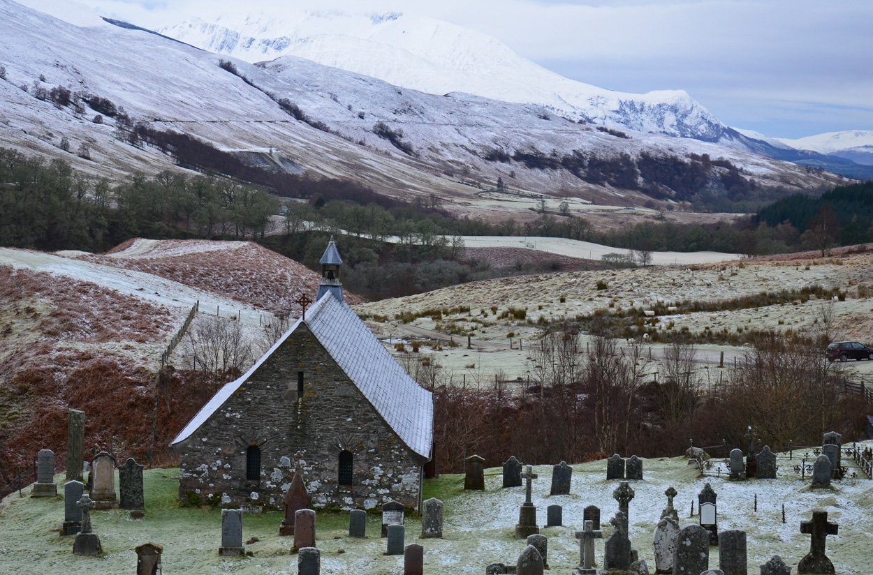
Cille Choirill
Cille Choirill is a 15th-century Roman Catholic church situated in Glen Spean in Lochaber, Scotland. Dedicated to St Kerrill, (also called "Cyril"), it...
Bohuntine
Bohuntine (Scottish Gaelic: Both Fhionndain) is a settlement located close to Roybridge, in Lochaber, within the Scottish Highlands, and is in the Highland...
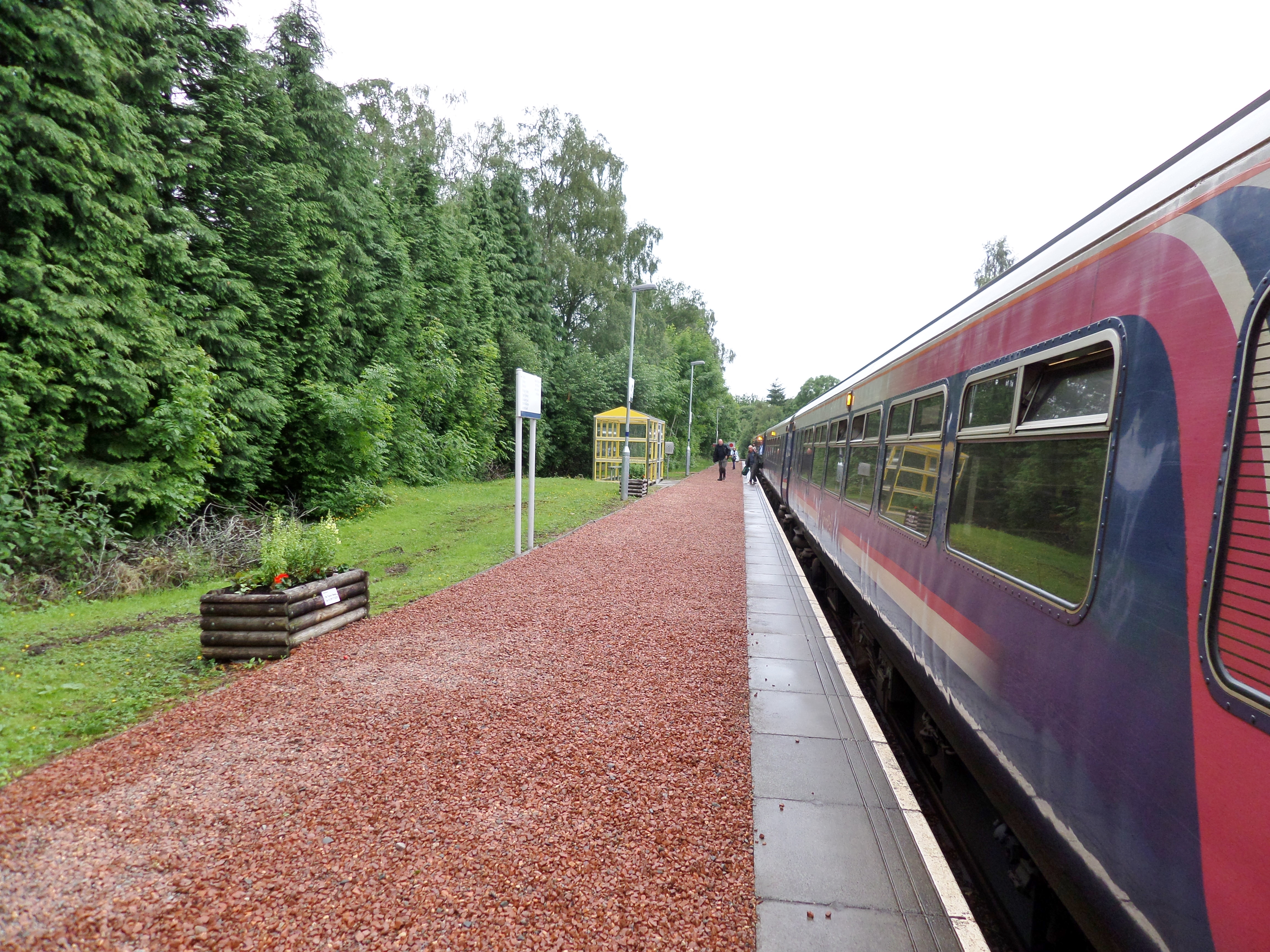
Roy Bridge railway station
Roy Bridge railway station is a railway station serving the village of Roybridge in the Highland region of Scotland. This station is on the West Highland...
Nearby Amenities
Located within 500m of 56.887565,-4.7924876Have you been to Eilean Monessie?
Leave your review of Eilean Monessie below (or comments, questions and feedback).