Poll Dubh
Lake, Pool, Pond, Freshwater Marsh in Inverness-shire
Scotland
Poll Dubh
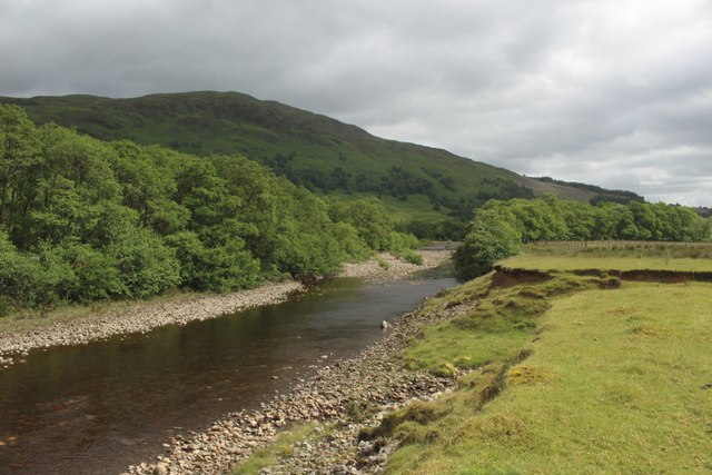
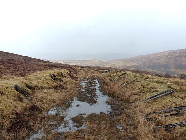
Poll Dubh is a picturesque freshwater body located in Inverness-shire, Scotland. It is situated in a secluded area, surrounded by lush greenery and rolling hills, offering a serene and tranquil atmosphere for visitors. Covering an area of approximately 2 hectares, Poll Dubh is a combination of a lake, pool, pond, and freshwater marsh.
The main feature of Poll Dubh is its crystal-clear water, which reflects the surrounding landscape, creating a stunning visual spectacle. The lake is fed by a small stream that originates from the nearby mountains, ensuring a constant flow of fresh water. The water is also known for its exceptional clarity, making it a popular spot for fishing enthusiasts.
The diverse flora and fauna that inhabit Poll Dubh make it a haven for nature lovers. The surrounding wetlands and marshes provide a unique habitat for a variety of plant species, including reeds, water lilies, and marsh marigolds. These plants, in turn, attract a wide range of wildlife, such as ducks, swans, otters, and dragonflies.
For those seeking outdoor activities, Poll Dubh offers opportunities for boating and kayaking, allowing visitors to explore the lake's serene waters. Additionally, the surrounding area provides ample space for picnics and leisurely walks, making it an ideal destination for families and nature enthusiasts alike.
Overall, Poll Dubh is a hidden gem within the beautiful landscape of Inverness-shire. Its combination of a lake, pool, pond, and freshwater marsh, along with its natural beauty and abundant wildlife, make it a must-visit destination for those seeking a peaceful and immersive experience in nature.
If you have any feedback on the listing, please let us know in the comments section below.
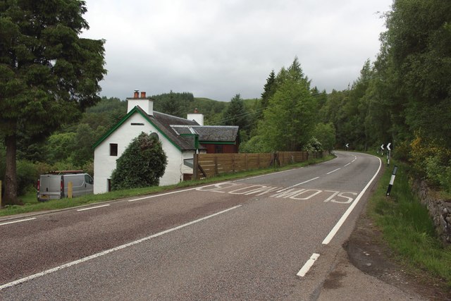
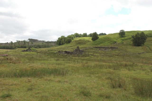
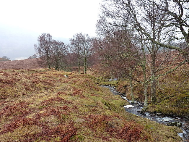
Poll Dubh Images
Images are sourced within 2km of 56.884022/-4.8042082 or Grid Reference NN2980. Thanks to Geograph Open Source API. All images are credited.


Poll Dubh is located at Grid Ref: NN2980 (Lat: 56.884022, Lng: -4.8042082)
Unitary Authority: Highland
Police Authority: Highlands and Islands
What 3 Words
///explained.origin.iterative. Near Gairlochy, Highland
Nearby Locations
Related Wikis

Achluachrach
Achluachrach (Gaelic: Ach Luachrach) is a small settlement in Glen Spean in Lochaber, in the Highland council area of Scotland. It is located on the A86...
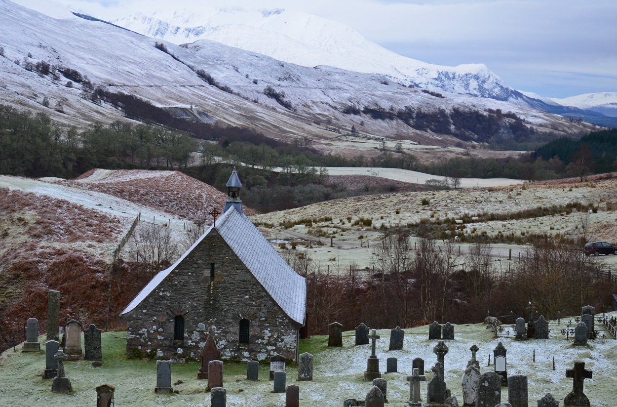
Cille Choirill
Cille Choirill is a 15th-century Roman Catholic church situated in Glen Spean in Lochaber, Scotland. Dedicated to St Kerrill, (also called "Cyril"), it...
Bohuntine
Bohuntine (Scottish Gaelic: Both Fhionndain) is a settlement located close to Roybridge, in Lochaber, within the Scottish Highlands, and is in the Highland...
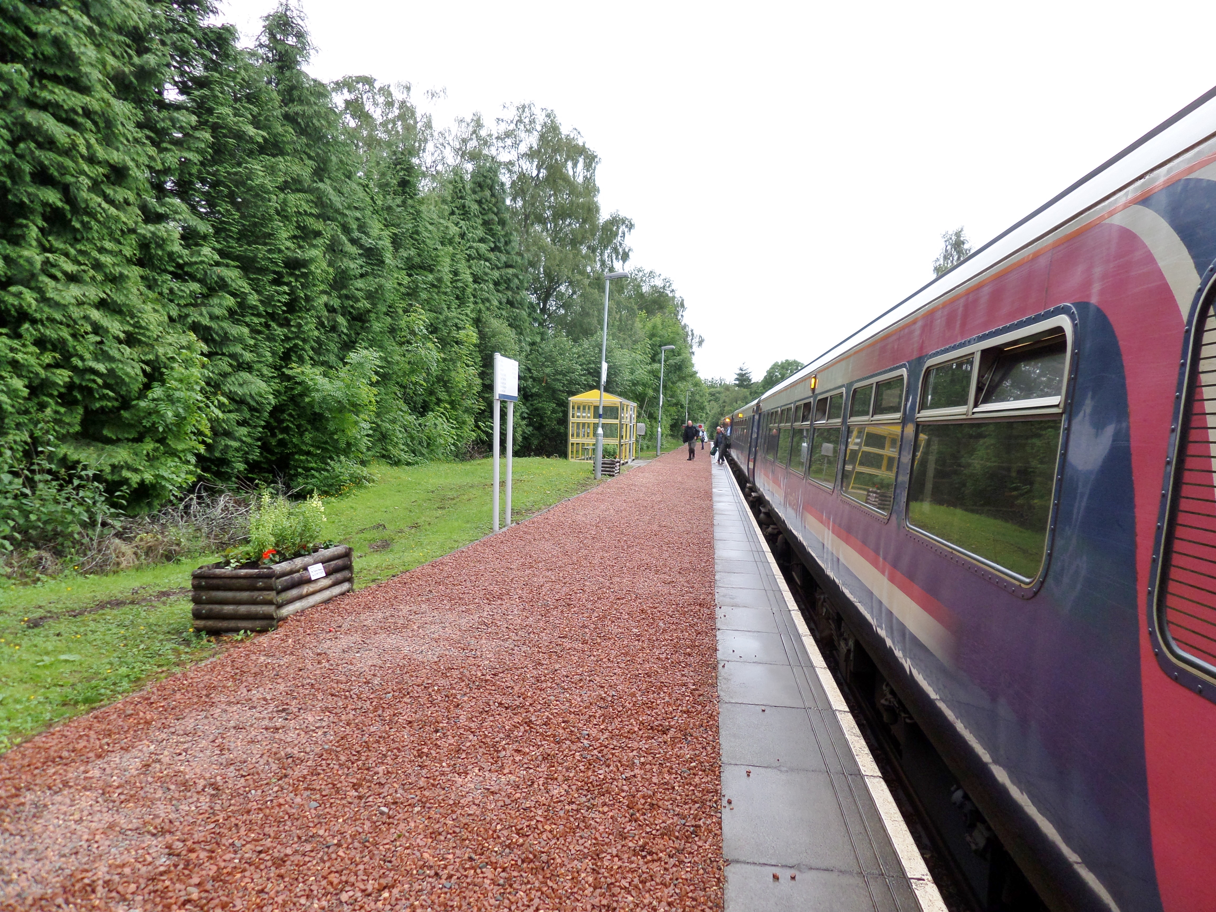
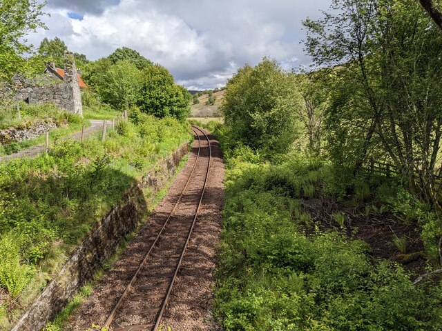
Roy Bridge railway station
Roy Bridge railway station is a railway station serving the village of Roybridge in the Highland region of Scotland. This station is on the West Highland...
Nearby Amenities
Located within 500m of 56.884022,-4.8042082Have you been to Poll Dubh?
Leave your review of Poll Dubh below (or comments, questions and feedback).