Monessie Gorge
Valley in Inverness-shire
Scotland
Monessie Gorge
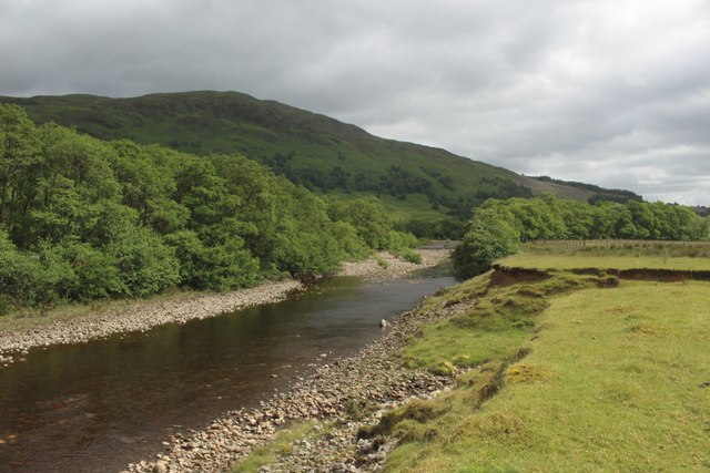
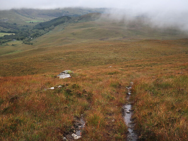
Monessie Gorge is a picturesque valley located in Inverness-shire, Scotland. Nestled amidst the stunning Scottish Highlands, the gorge offers a breathtaking display of natural beauty and is a popular destination for nature enthusiasts and hikers.
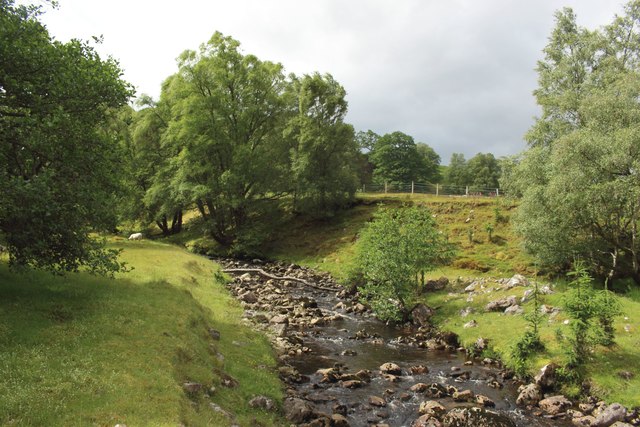
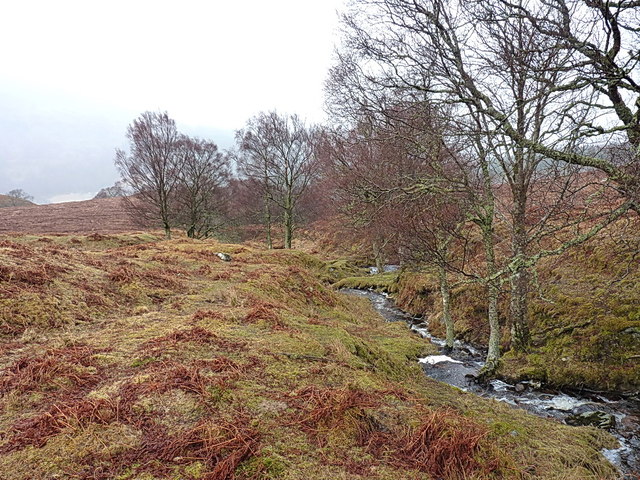
The gorge is situated near the village of Roybridge and is carved out by the River Roy, which flows through the glen. The steep-sided walls of the gorge create a dramatic landscape, with towering cliffs and cascading waterfalls that add to its allure. The river itself is known for its crystal-clear waters, which reflect the surrounding landscape, making it a photographer's paradise.
The area is rich in wildlife, and visitors may spot various species such as red deer, eagles, and otters while exploring the gorge. The diverse flora includes native Scottish trees like birch and rowan, which provide a vibrant display of colors during the autumn season.
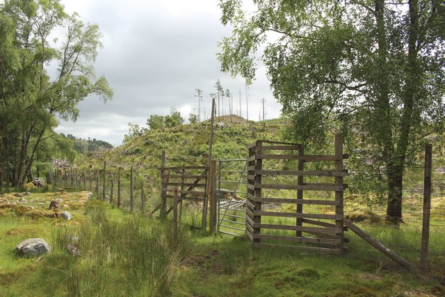
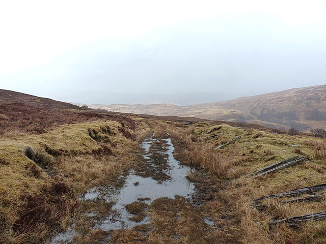
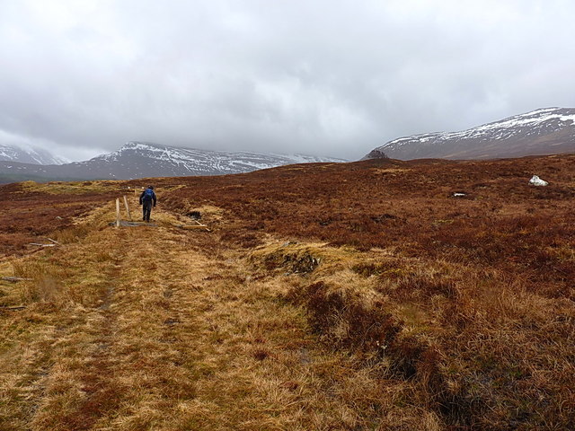
Monessie Gorge offers several hiking trails, ranging from gentle walks to more challenging treks, catering to all skill levels. One popular route is the Monessie Gorge Circular Walk, which takes visitors on a loop around the gorge, offering stunning views of the surrounding mountains and the river below.
For those seeking a tranquil escape in nature, Monessie Gorge is the perfect destination. Its untouched beauty and serene atmosphere make it a must-visit location for anyone exploring the Scottish Highlands.
If you have any feedback on the listing, please let us know in the comments section below.
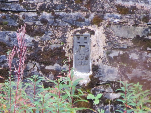
Monessie Gorge Images
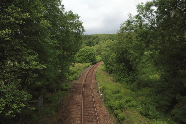
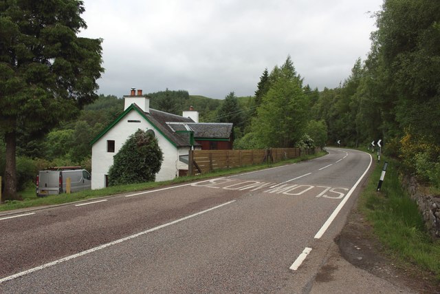
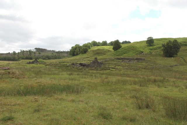
Images are sourced within 2km of 56.888975/-4.7977815 or Grid Reference NN2980. Thanks to Geograph Open Source API. All images are credited.

Monessie Gorge is located at Grid Ref: NN2980 (Lat: 56.888975, Lng: -4.7977815)
Unitary Authority: Highland
Police Authority: Highlands and Islands
What 3 Words
///winter.bulletins.robots. Near Gairlochy, Highland
Nearby Locations
Related Wikis

Achluachrach
Achluachrach (Gaelic: Ach Luachrach) is a small settlement in Glen Spean in Lochaber, in the Highland council area of Scotland. It is located on the A86...
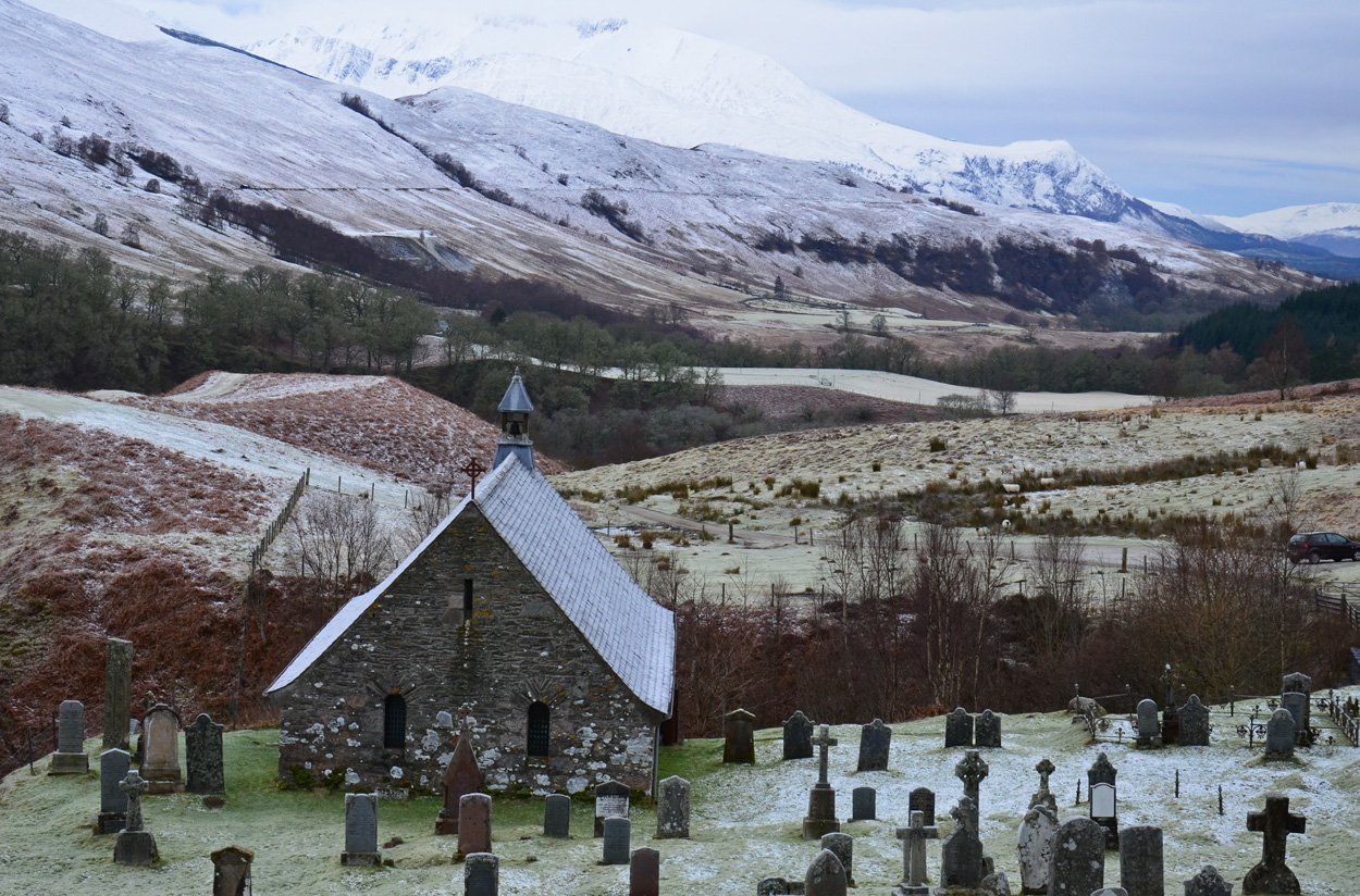
Cille Choirill
Cille Choirill is a 15th-century Roman Catholic church situated in Glen Spean in Lochaber, Scotland. Dedicated to St Kerrill, (also called "Cyril"), it...
Bohuntine
Bohuntine (Scottish Gaelic: Both Fhionndain) is a settlement located close to Roybridge, in Lochaber, within the Scottish Highlands, and is in the Highland...
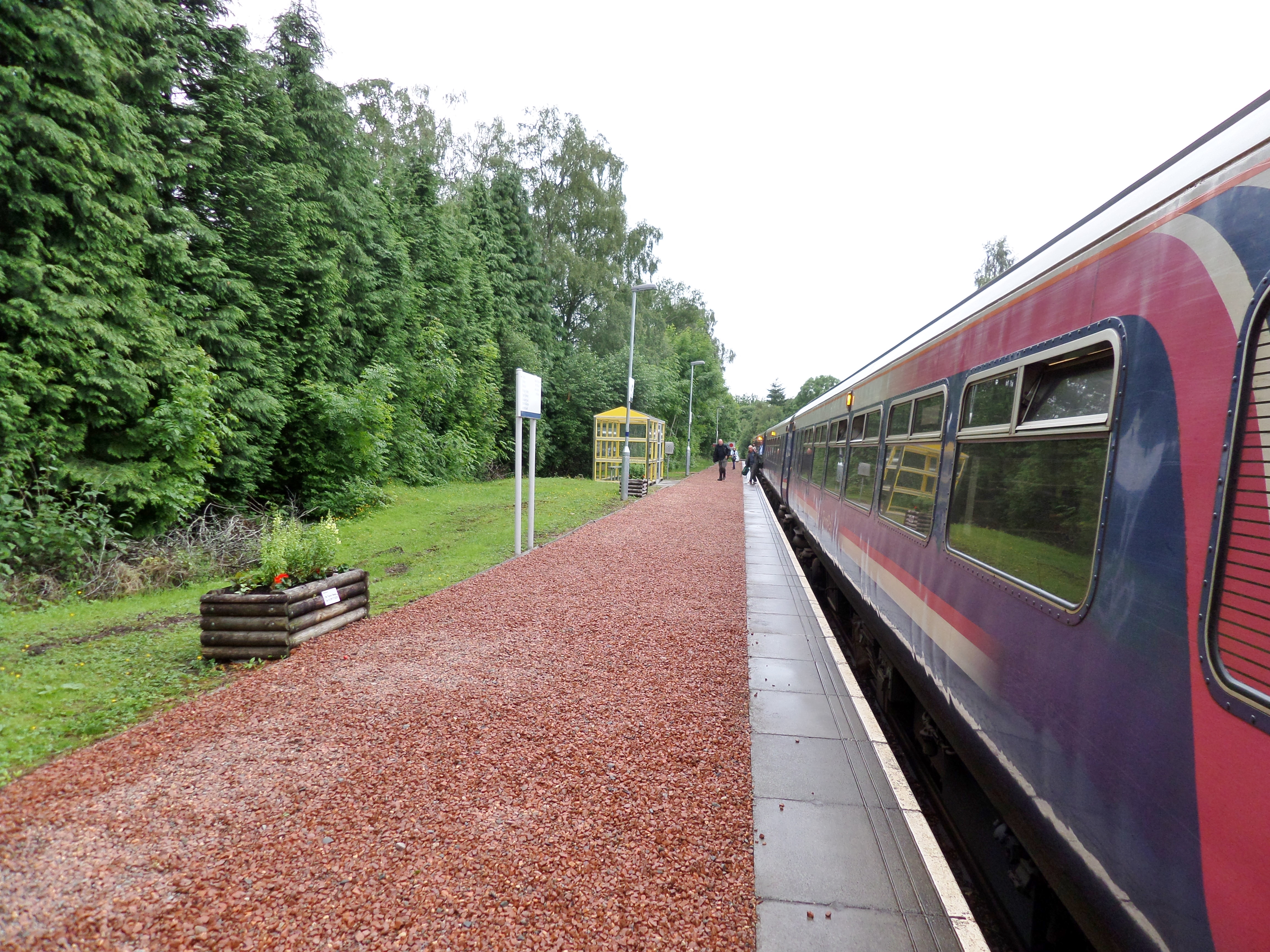
Roy Bridge railway station
Roy Bridge railway station is a railway station serving the village of Roybridge in the Highland region of Scotland. This station is on the West Highland...
Nearby Amenities
Located within 500m of 56.888975,-4.7977815Have you been to Monessie Gorge?
Leave your review of Monessie Gorge below (or comments, questions and feedback).