Pink Moor
Downs, Moorland in Cornwall
England
Pink Moor
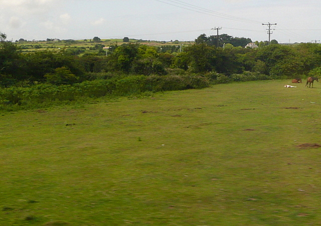
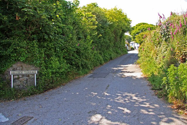
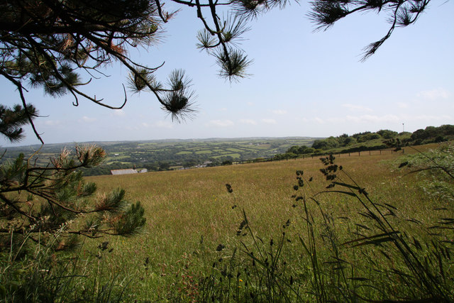
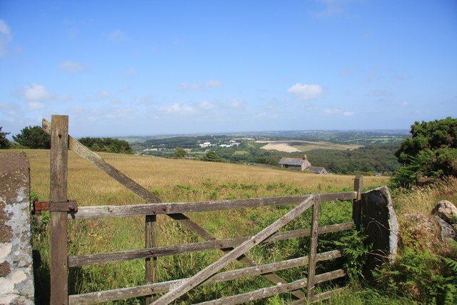
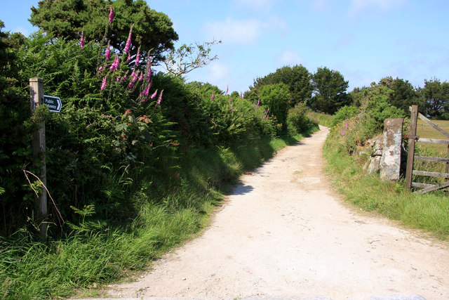
Pink Moor, Cornwall is a picturesque area located in the southwest of England. It is a part of the Downs, Moorland region, known for its stunning natural beauty and diverse ecosystem. The moorland is characterized by its rolling hills, vast open spaces, and heathland vegetation.
One of the most striking features of Pink Moor is its unique pink-colored soil, which gives the area its name. The soil gets its distinctive hue from the high iron content found in the region. This creates a visually appealing landscape, especially during sunrise and sunset when the colors are enhanced.
The moorland is home to a variety of flora and fauna, making it a haven for nature enthusiasts. Visitors can spot rare species of birds, such as the stonechat and the Dartford warbler, as well as numerous butterflies and other insects. The moorland also supports a diverse range of plants, including heather, gorse, and bilberry.
The area is perfect for hiking and walking, with a network of well-marked trails that offer stunning views of the surrounding countryside. It is also popular among birdwatchers, photographers, and nature lovers who can appreciate the tranquility and serenity of the moorland.
Pink Moor is located in close proximity to other attractions in Cornwall, such as the coastal towns of Newquay and St Ives, making it an ideal destination for day trips or longer stays. Visitors to Pink Moor can expect a peaceful retreat surrounded by natural beauty and the opportunity to explore a unique and captivating landscape.
If you have any feedback on the listing, please let us know in the comments section below.
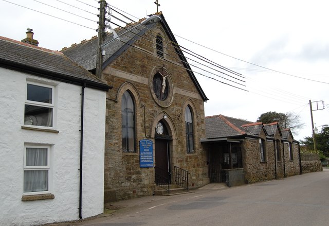
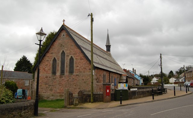
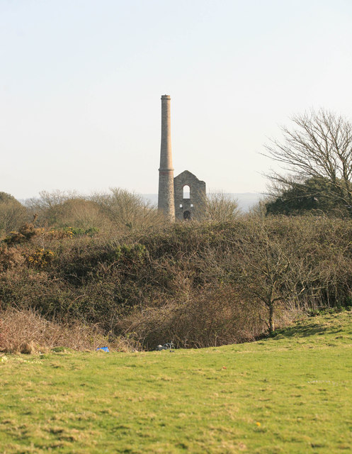
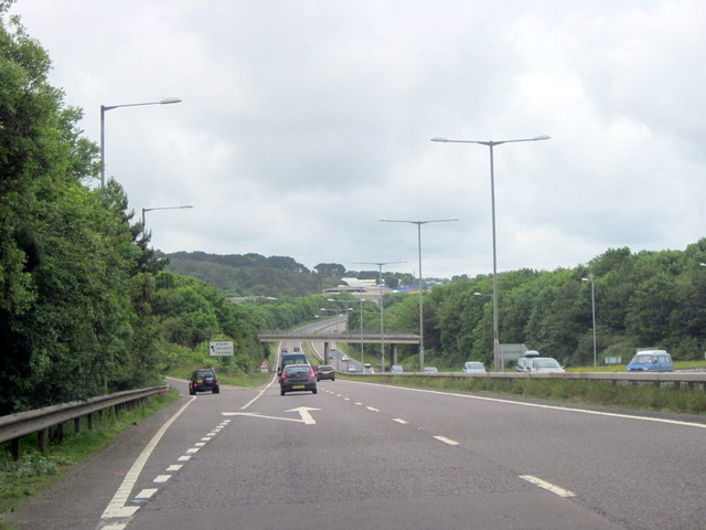
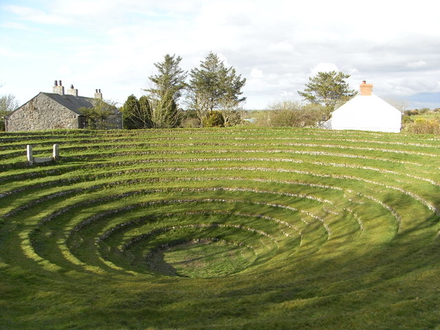
Pink Moor Images
Images are sourced within 2km of 50.242323/-5.1886676 or Grid Reference SW7242. Thanks to Geograph Open Source API. All images are credited.
Pink Moor is located at Grid Ref: SW7242 (Lat: 50.242323, Lng: -5.1886676)
Unitary Authority: Cornwall
Police Authority: Devon and Cornwall
What 3 Words
///reinstate.slogans.proposals. Near St Day, Cornwall
Related Wikis

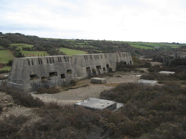
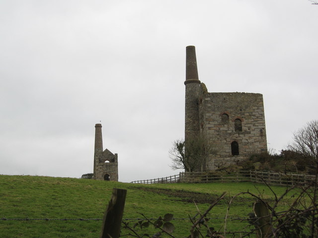
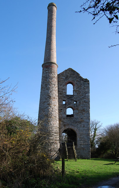
Wheal Gorland
Wheal Gorland was a metalliferous mine located just to the north-east of the village of St Day, Cornwall, in England, United Kingdom. It was one of the...

Vogue, Cornwall
Vogue (Cornish: Fog, meaning blowing house or furnace) is a hamlet in the parish of St Day, Cornwall, England. == Mining industry == At Vogue there was...

St Day
St Day (Cornish: Sen Day) is a civil parish and village in Cornwall, England, United Kingdom. It is positioned between the village of Chacewater and the...
Little Beside
Little Beside House is a Grade II listed country house in the civil parish of Gwennap, Cornwall, England, UK. It was built in the early 19th century and...
Nearby Amenities
Located within 500m of 50.242323,-5.1886676Have you been to Pink Moor?
Leave your review of Pink Moor below (or comments, questions and feedback).