Lower Ninnis

Settlement in Cornwall

England

Lower Ninnis

Farm at Wheal Prussia On the eastern outskirts of Redruth is this smallholding near the former Wheal Prussia.
This photo was taken from the 1158 Penzance to London Paddington train, having left Redruth at 1231.
Farm at Wheal Prussia Credit: Graham Horn

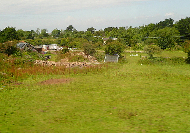
Lower Ninnis is a small village located in the beautiful county of Cornwall in southwestern England. Situated just a few miles inland from the stunning coastline, it is surrounded by picturesque countryside and offers a peaceful and idyllic setting for its residents.

The village itself is home to a tight-knit community, with a population of around 200 people. The houses in Lower Ninnis are predominantly traditional stone cottages, giving the area a charming and rustic feel. The village is known for its well-maintained gardens and colorful floral displays, which add to its overall appeal.

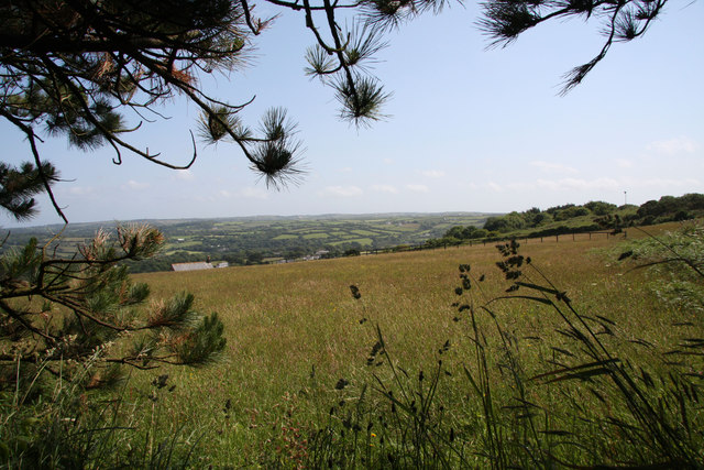
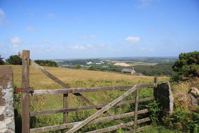
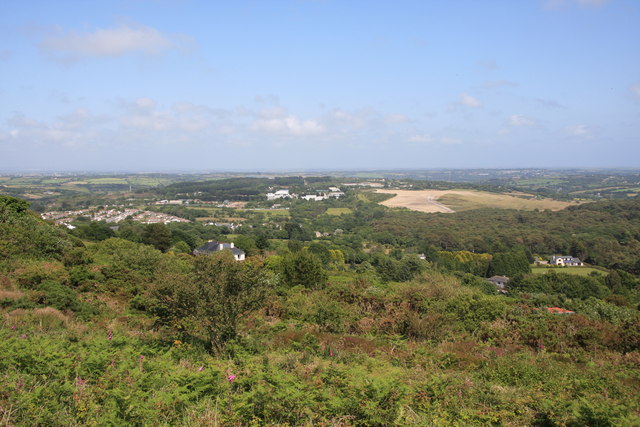
Lower Ninnis is blessed with natural beauty, with rolling hills and meadows nearby, providing excellent opportunities for walking, hiking, and enjoying the great outdoors. The village also benefits from its proximity to the coast, with stunning beaches and rugged cliffs just a short drive away.

Amenities in Lower Ninnis are limited, with a small village shop providing essentials, and a quaint local pub serving as a gathering place for residents. However, for a wider range of amenities, the nearby town of St. Ives is just a short distance away, offering a variety of shops, restaurants, and leisure facilities.

Lower Ninnis is an ideal location for those seeking a peaceful and rural lifestyle, away from the hustle and bustle of city living. Its proximity to both the coast and countryside provides a wealth of recreational opportunities, making it a desirable place to live for nature lovers and outdoor enthusiasts.

If you have any feedback on the listing, please let us know in the comments section below.
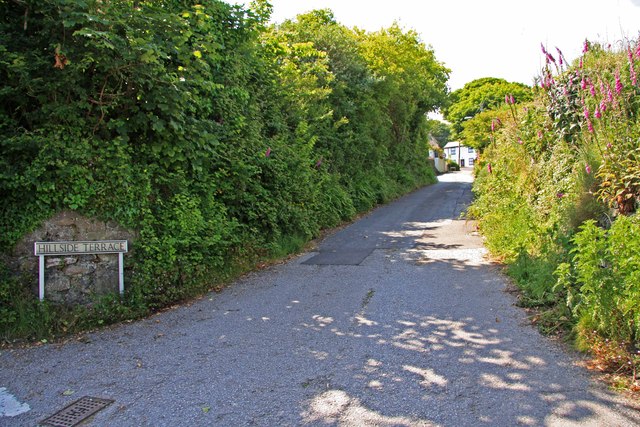
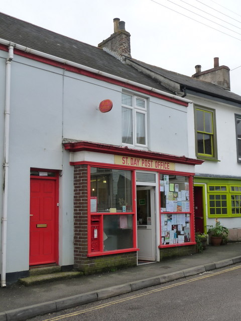
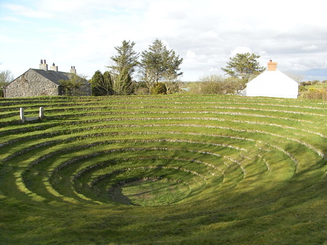
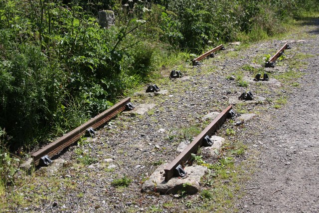
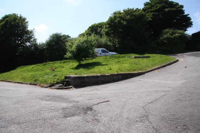
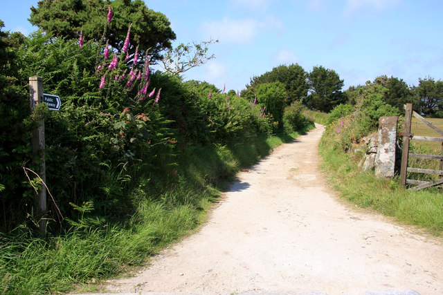
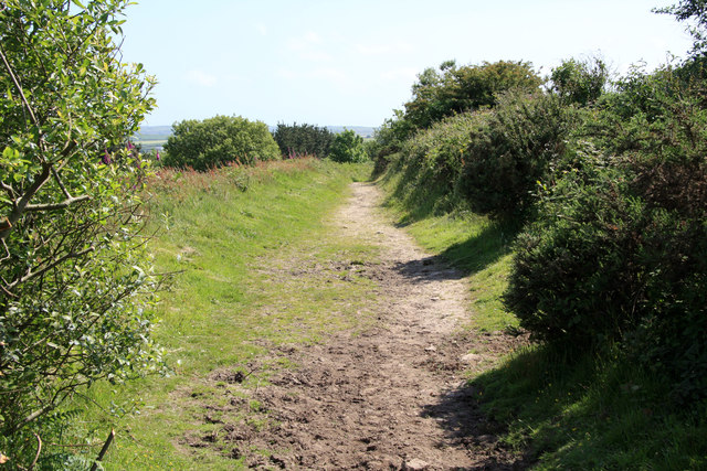
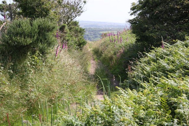
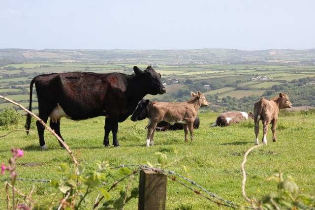
Lower Ninnis Images

Images are sourced within 2km of 50.235995/-5.1973057 or Grid Reference SW7242. Thanks to Geograph Open Source API. All images are credited.

Farm at Wheal Prussia On the eastern outskirts of Redruth is this smallholding near the former Wheal Prussia.
This photo was taken from the 1158 Penzance to London Paddington train, having left Redruth at 1231.
Farm at Wheal Prussia
On the eastern outskirts of Redruth is this smallholding near the former Wheal Prussia. This photo was taken from the 1158 Penzance to London Paddington train, having left Redruth at 1231.
Wheal Bush
Wheal Bush
St Day's new church was the old Sunday School
St Piran's Church, Carharrack
Hillside Terrace, from the junction with Pennance Road
St. Day: the post office The post office, in Fore Street, retains a traditional looking frontage and unlike many these days is not part of a general village store. There has been a post office in St. Day since 1830.
St. Day: the post office
The post office, in Fore Street, retains a traditional looking frontage and unlike many these days is not part of a general village store. There has been a post office in St. Day since 1830.
St. Day: postbox № TR16 62, Fore Street The off-centre positioning of the collection plate is a giveaway that this postbox was designed for a post office frontage - and that is indeed the case, within the window of <a href="https://www.geograph.org.uk/photo/3705996">SW7242 : St. Day: the post office</a>.
St. Day: postbox № TR16 62, Fore Street
The off-centre positioning of the collection plate is a giveaway that this postbox was designed for a post office frontage - and that is indeed the case, within the window of SW7242 : St. Day: the post office.
Gwennap Pit John Wesley preached here.
Gwennap Pit
John Wesley preached here.
Old Railway Track Sections of the track of the Redruth and Chacewater Railway.  The track was not laid on wooden sleepers, but rather on granite "chairs" set in the ground.  In this shot there are actually two generations of track.  Nearer the camera the track is the original style, from when the wagons were horse-drawn.  Further from the camera the track is of a heavier cross section, installed when steam locomotives replaced horses.
Old Railway Track
Sections of the track of the Redruth and Chacewater Railway. The track was not laid on wooden sleepers, but rather on granite "chairs" set in the ground. In this shot there are actually two generations of track. Nearer the camera the track is the original style, from when the wagons were horse-drawn. Further from the camera the track is of a heavier cross section, installed when steam locomotives replaced horses.
The Shute The Shute, on the eponymous Shute Hill, flows non-stop regardless of the level of rainfall.  Reputedly it has never been known to dry up.  The water is believed to originate from ground water under the mass of Carn Marth, to the west, and is potable.  People still come to fill containers from it.  In days gone by villagers from Carharrack would come here not just to collect water but also to do the weekly wash.  Old photographs show the shute looking just the same as it does now.
The Shute
The Shute, on the eponymous Shute Hill, flows non-stop regardless of the level of rainfall. Reputedly it has never been known to dry up. The water is believed to originate from ground water under the mass of Carn Marth, to the west, and is potable. People still come to fill containers from it. In days gone by villagers from Carharrack would come here not just to collect water but also to do the weekly wash. Old photographs show the shute looking just the same as it does now.
Farmland on the lower slopes of Carn Marth Looking broadly towards Lanner, though Lanner itself is hidden in the valley.
Farmland on the lower slopes of Carn Marth
Looking broadly towards Lanner, though Lanner itself is hidden in the valley.
Farmland on the lower slopes of Carn Marth Looking broadly north east, towards United Downs and the site of the former refuse tip.  The white sheds in the distance, near the skyline, are on the United Downs industrial estate.  The light coloured field is the site of the former tip, now being grassed over.  The house slightly right of middle was once a barn.
Farmland on the lower slopes of Carn Marth
Looking broadly north east, towards United Downs and the site of the former refuse tip. The white sheds in the distance, near the skyline, are on the United Downs industrial estate. The light coloured field is the site of the former tip, now being grassed over. The house slightly right of middle was once a barn.
Bridleway near Carharrack
Bridleway on Carn Marth
Scrub on the slopes of Carn Marth Looking towards United Downs Industrial Estate (white sheds)  and the former refuse tip (light coloured field).  Carharrack village nestles in the middle left.
Scrub on the slopes of Carn Marth
Looking towards United Downs Industrial Estate (white sheds) and the former refuse tip (light coloured field). Carharrack village nestles in the middle left.
Water Bowser on Carn Marth A number of horses, and a small number of cattle, are kept on grazing on the slopes of Carn Marth.  There is no piped water supply up here, however, as there are now no dwellings this high up, so livestock owners tend to bring water up in multiple containers in the back of 4x4s and fill up the bowsers which then feed troughs.
Water Bowser on Carn Marth
A number of horses, and a small number of cattle, are kept on grazing on the slopes of Carn Marth. There is no piped water supply up here, however, as there are now no dwellings this high up, so livestock owners tend to bring water up in multiple containers in the back of 4x4s and fill up the bowsers which then feed troughs.
Footpath on Carn Marth On the ground there are many more footpaths criss-crossing Carn Marth than appear on the 1:25,000 OS.  This makes the area quite popular with mountain bikers, as well as locals wanting exercise for themselves and their dogs.
Footpath on Carn Marth
On the ground there are many more footpaths criss-crossing Carn Marth than appear on the 1:25,000 OS. This makes the area quite popular with mountain bikers, as well as locals wanting exercise for themselves and their dogs.
Cow with calves on Carn Marth
Show me another place!

Lower Ninnis is located at Grid Ref: SW7242 (Lat: 50.235995, Lng: -5.1973057)

Unitary Authority: Cornwall

Police Authority: Devon and Cornwall

What 3 Words

///spun.gateway.rotations. Near St Day, Cornwall

Related Wikis

Vogue, Cornwall

Vogue (Cornish: Fog, meaning blowing house or furnace) is a hamlet in the parish of St Day, Cornwall, England. == Mining industry == At Vogue there was...

Busveal

Busveal is a mining settlement in west Cornwall, United Kingdom. It is located approximately one mile east of Redruth. It is in the civil parish of St...

St Day

St Day (Cornish: Sen Day) is a civil parish and village in Cornwall, England, United Kingdom. It is positioned between the village of Chacewater and the...
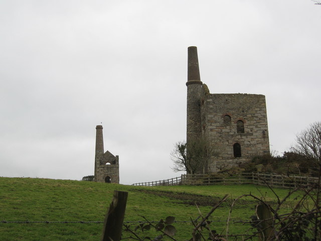
Wheal Gorland

Wheal Gorland was a metalliferous mine located just to the north-east of the village of St Day, Cornwall, in England, United Kingdom. It was one of the...

Nearby Amenities

Located within 500m of 50.235995,-5.1973057
Bus Stop
Vogue, Star Inn
Bin: yes
Bus: yes
Departures Board: timetable
Naptan AtcoCode: 0800FWX38696;0800FWX38697
Naptan Bearing: E;W
Naptan CommonName: Vogue
Naptan NaptanCode: corapdaw;corapdat
Naptan PlusbusZoneRef: CBORNE
Naptan Street: Vogue Hill
Naptan Verified: no
Network: Transport for Cornwall
Note: The bus stop is located on the pavement side of the road and serves both directions.
Operator: Go Cornwall Bus
Public Transport: platform
Shelter: no
Source: naptan_import
Lat/Long: 50.2377979/-5.1919622
Lower Ninnis
Is In County: Cornwall
Place: hamlet
Source: OS_OpenData_StreetView
Lat/Long: 50.2367886/-5.1972429
Trefula
Is In County: Cornwall
Name Kw: Trevoula
Place: hamlet
Source: OS_OpenData_StreetView
Lat/Long: 50.2384219/-5.1987449
Higher Ninnis
Place: hamlet
Source: OS_OpenData_StreetView
Lat/Long: 50.2357607/-5.1998392
Historic: mine_shaft
Note: exact location uncertain
Source: OS_OpenData_StreetView
Lat/Long: 50.2343881/-5.1982943
Post Box
Collection Times: Mo-Fr 09:00; Sa 07:00
Operator: Royal Mail
Operator Wikidata: Q638098
Post Box Type: wall
Ref: TR16 72D
Royal Cypher: GR
Royal Cypher Wikidata: Q33102273
Source: survey;gps
Lat/Long: 50.237872/-5.1916534
Parking
Access: customers
Parking: surface
Lat/Long: 50.2376887/-5.1934898
Source: survey; gps
Traffic Calming: hump
Lat/Long: 50.2380531/-5.1915382
Bus Stop
Vogue Hill
Bench: yes
Bus: yes
Naptan AtcoCode: 0800COA15835
Naptan Bearing: W
Naptan CommonName: Vogue Hill
Naptan Indicator: W-bound
Naptan NaptanCode: corgjwta
Naptan Street: Vogue Hill
Naptan Verified: no
Note: bus number 47, direction Redruth
Public Transport: platform
Shelter: yes
Lat/Long: 50.2378726/-5.1909671
The Manor Boundary Stone
Information: route_marker
Note: Not on numbered town trail?
Source: survey
Source Name: plaque; knowledge
Tourism: information
Lat/Long: 50.2376241/-5.1927088
Material: wood
Power: pole
Source: survey
Lat/Long: 50.2377733/-5.19336
Generator Method: photovoltaic
Generator Output Electricity: small_installation
Generator Source: solar
Generator Type: solar_photovoltaic_panel
Location: roof
Power: generator
Source: bing
Lat/Long: 50.2391084/-5.1928908
Barrier: stile
Lat/Long: 50.2353198/-5.1989761
Barrier: stile
Lat/Long: 50.2356876/-5.2004312
The data included in this document is from www.openstreetmap.org. The data is made available under ODbL.

Have you been to Lower Ninnis?

Leave your review of Lower Ninnis below (or comments, questions and feedback).