Tolcarne
Settlement in Cornwall
England
Tolcarne
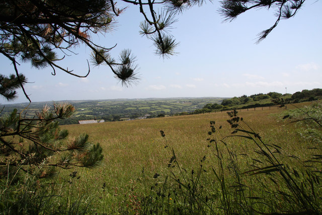
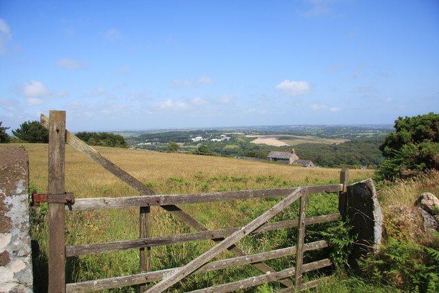
Tolcarne is a picturesque coastal village located in Cornwall, England. Situated on the north coast of the county, it lies just a few miles away from the bustling town of Newquay. Known for its stunning natural beauty, Tolcarne attracts visitors from all over the world.
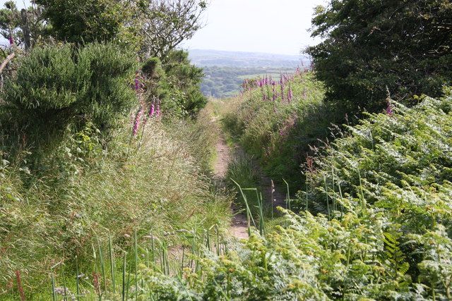
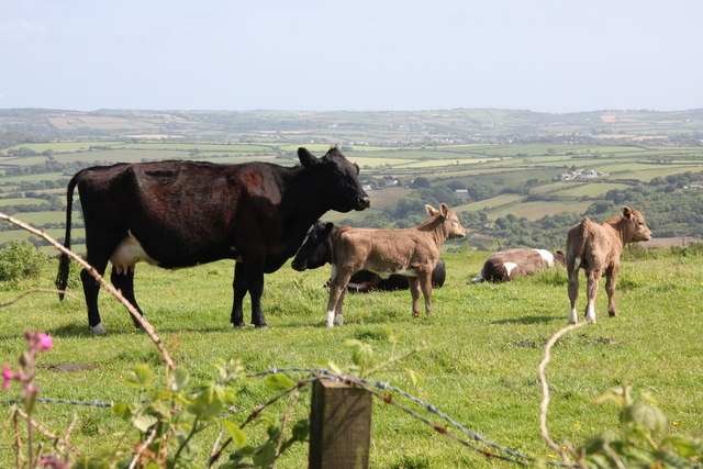
One of the main attractions of Tolcarne is its sandy beach, which stretches for miles along the coastline. The beach is famous for its crystal-clear turquoise waters and is a popular spot for swimming, sunbathing, and water sports such as surfing and paddleboarding. The beach is also backed by rugged cliffs, offering breathtaking views of the Atlantic Ocean.
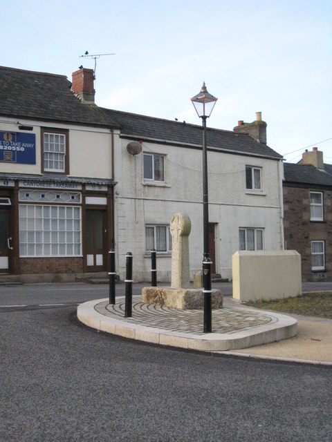
Aside from its natural beauty, Tolcarne is home to a small but vibrant community. The village has a handful of quaint shops, cafes, and traditional pubs, where visitors can enjoy a taste of local cuisine and relax in a friendly atmosphere. The locals are known for their warm hospitality and are always keen to share their knowledge of the area with visitors.
Tolcarne is also a great base for exploring the wider Cornwall region. The village is within easy reach of several popular tourist attractions, including the Eden Project, St Ives, and the Lost Gardens of Heligan. The area is also known for its rich history, with many historic sites and landmarks scattered throughout the countryside.
Overall, Tolcarne offers a perfect blend of natural beauty, community spirit, and accessibility to the wider region, making it a must-visit destination for anyone exploring Cornwall.
If you have any feedback on the listing, please let us know in the comments section below.
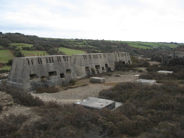
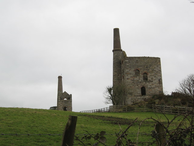
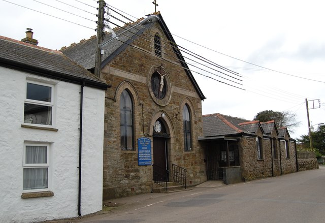
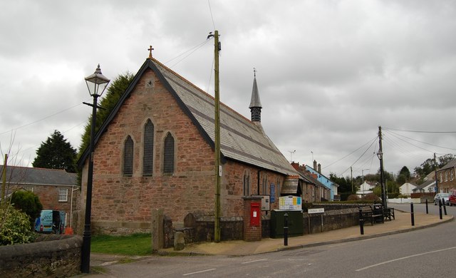
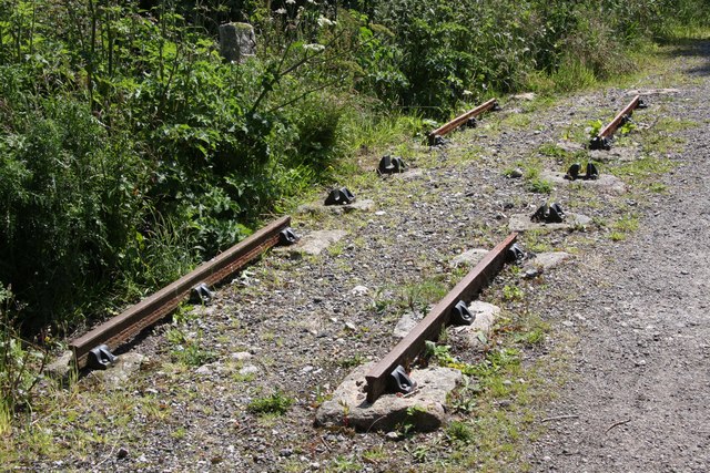
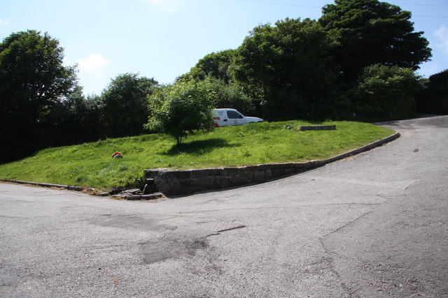
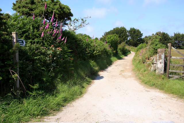
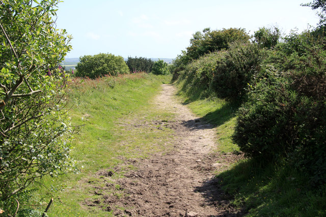
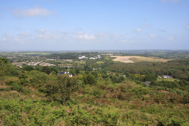
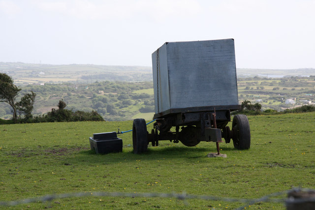
Tolcarne Images
Images are sourced within 2km of 50.235555/-5.1877949 or Grid Reference SW7242. Thanks to Geograph Open Source API. All images are credited.
Tolcarne is located at Grid Ref: SW7242 (Lat: 50.235555, Lng: -5.1877949)
Unitary Authority: Cornwall
Police Authority: Devon and Cornwall
What 3 Words
///hits.backpacks.entertainer. Near St Day, Cornwall
Related Wikis

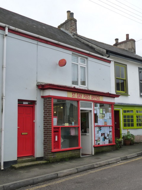
St Day
St Day (Cornish: Sen Day) is a civil parish and village in Cornwall, England, United Kingdom. It is positioned between the village of Chacewater and the...

Vogue, Cornwall
Vogue (Cornish: Fog, meaning blowing house or furnace) is a hamlet in the parish of St Day, Cornwall, England. == Mining industry == At Vogue there was...

Wheal Gorland
Wheal Gorland was a metalliferous mine located just to the north-east of the village of St Day, Cornwall, in England, United Kingdom. It was one of the...
Carharrack
Carharrack (Cornish: Karardhek) is a civil parish and village in west Cornwall, England, United Kingdom. It is situated two miles (3 km) east of Redruth...
Nearby Amenities
Located within 500m of 50.235555,-5.1877949Have you been to Tolcarne?
Leave your review of Tolcarne below (or comments, questions and feedback).