Tolcarne Wartha

Settlement in Cornwall

England

Tolcarne Wartha

Fingerpost Milestone Society National ID: CW_SW7035A
Fingerpost Credit: Paul Barnett

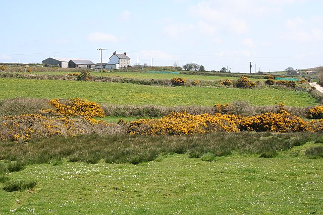
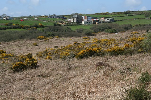
Tolcarne Wartha is a small coastal village located in the county of Cornwall, England. Situated on the eastern shore of the Lizard Peninsula, it is nestled between the popular tourist destinations of Mullion and Porthleven. With its picturesque location overlooking the Celtic Sea, Tolcarne Wartha offers stunning views of the rugged Cornish coastline.

The village itself is known for its quaint charm and tranquil atmosphere, making it a popular destination for those seeking a peaceful getaway. Visitors can explore the narrow streets lined with traditional stone cottages, and take in the beautiful gardens that are a hallmark of this idyllic setting.

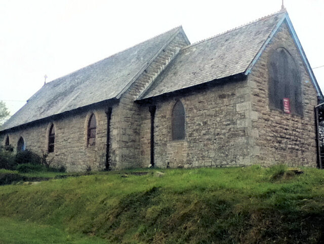
Tolcarne Wartha is also renowned for its rich history and heritage. The village dates back to the medieval period, and remnants of its past can still be seen in the form of ancient buildings and landmarks. One notable site is the St. Anthony's Church, a medieval church that stands as a testament to the village's long-standing religious significance.

Nature enthusiasts will find plenty to enjoy in Tolcarne Wartha, as the surrounding area is home to a diverse range of flora and fauna. The village is also located close to several nature reserves, including the Lizard National Nature Reserve, which offers a variety of walking trails and wildlife spotting opportunities.

Overall, Tolcarne Wartha is a charming coastal village that combines natural beauty, historical significance, and a peaceful ambiance, making it a truly enchanting destination for visitors.

If you have any feedback on the listing, please let us know in the comments section below.

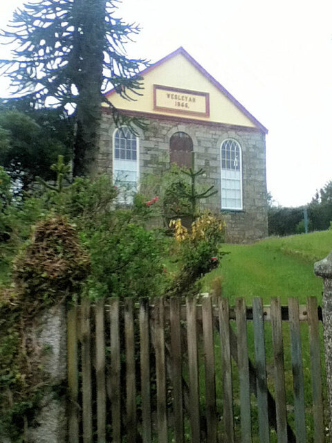
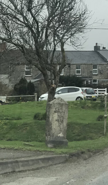
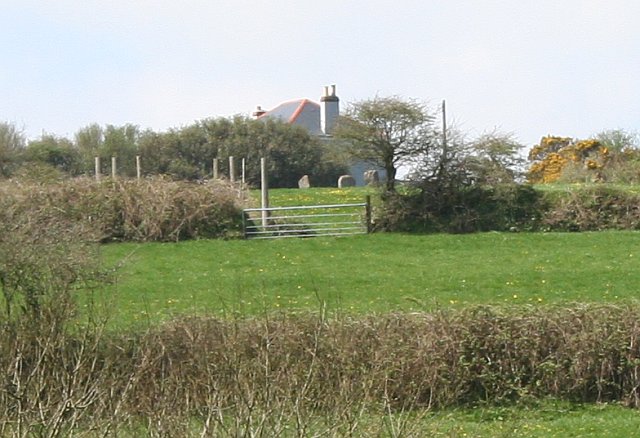
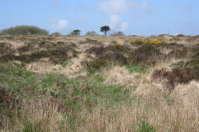
Tolcarne Wartha Images

Images are sourced within 2km of 50.171828/-5.242454 or Grid Reference SW6835. Thanks to Geograph Open Source API. All images are credited.

Fingerpost Milestone Society National ID: CW_SW7035A
Fingerpost
Milestone Society National ID: CW_SW7035A
Penmarth Methodist Church
Penmarth Methodist Hall
Carmenellis Churchyard
Old Direction Sign - Signpost by Penmarth, Wendron parish Cone finial - arm 3 has rivetted repair; Visick Cone by the UC road, in parish of Wendron (Kerrier District), Penmarth, behind hedge on raised field.

Grade II listed.
List Entry Number: 1142040 <span class="nowrap"><a title="https://historicengland.org.uk/listing/the-list/list-entry/1142040" rel="nofollow ugc noopener" href="https://historicengland.org.uk/listing/the-list/list-entry/1142040">Link</a><img style="margin-left:2px;" alt="External link" title="External link - shift click to open in new window" src="https://s1.geograph.org.uk/img/external.png" width="10" height="10"/></span>

Surveyed.

Milestone Society National ID: CW_SW7035A
Old Direction Sign - Signpost by Penmarth, Wendron parish
Cone finial - arm 3 has rivetted repair; Visick Cone by the UC road, in parish of Wendron (Kerrier District), Penmarth, behind hedge on raised field. Grade II listed. List Entry Number: 1142040 LinkExternal link Surveyed. Milestone Society National ID: CW_SW7035A
Former St Christopher's Church
Former Wesleyan Chapel
Trinity Methodist Church
Old Milestone by the B3297 in Burras Carved stone post by the B3297, in parish of Wendron (Kerrier District), Burhos, Burras village green, beside clapper bridge, on West side of road. Erected by the Local Highways Board in the 19th century. 

Inscription reads:-
REDRUTH / 5 / MILES : : HELSTON / 5 / MILES 

Grade II Listed. List Entry Number: 1142022
<span class="nowrap"><a title="https://historicengland.org.uk/listing/the-list/list-entry/1142022" rel="nofollow ugc noopener" href="https://historicengland.org.uk/listing/the-list/list-entry/1142022">Link</a><img style="margin-left:2px;" alt="External link" title="External link - shift click to open in new window" src="https://s1.geograph.org.uk/img/external.png" width="10" height="10"/></span>

Milestone Society National ID: CW_RRHL05
Old Milestone by the B3297 in Burras
Carved stone post by the B3297, in parish of Wendron (Kerrier District), Burhos, Burras village green, beside clapper bridge, on West side of road. Erected by the Local Highways Board in the 19th century. Inscription reads:- REDRUTH / 5 / MILES : : HELSTON / 5 / MILES Grade II Listed. List Entry Number: 1142022 LinkExternal link Milestone Society National ID: CW_RRHL05
Nine Maidens - a long shot The Nine Maidens is the remains of an ancient stone circle.  The OS map shows a path leading past the stones but it is unmarked and access has been blocked.  This photograph, taken from the base of the hill, shows three of the stones in the field next to the house.
Nine Maidens - a long shot
The Nine Maidens is the remains of an ancient stone circle. The OS map shows a path leading past the stones but it is unmarked and access has been blocked. This photograph, taken from the base of the hill, shows three of the stones in the field next to the house.
Calvadnack and Farmland Calvadnack is an area of open access heathland.  There is a footpath marked on the OS map crossing it from north to south, however the footpath could not be found.  The northern half of Calvadnack is used for rough cattle grazing and is passable but the vegetation makes the southern half impassable, even in the springtime before the bracken has regrown.
Calvadnack and Farmland
Calvadnack is an area of open access heathland. There is a footpath marked on the OS map crossing it from north to south, however the footpath could not be found. The northern half of Calvadnack is used for rough cattle grazing and is passable but the vegetation makes the southern half impassable, even in the springtime before the bracken has regrown.
Carnmenellis Down Almost all the high points in this area of Cornwall appear to have some form of telecommunications mast on them and this is no exception.  The mound to the right is a covered reservoir according to the OS map.
Carnmenellis Down
Almost all the high points in this area of Cornwall appear to have some form of telecommunications mast on them and this is no exception. The mound to the right is a covered reservoir according to the OS map.
Fields near Carnmenellis With a yellow coating of dandelion flowers.
Fields near Carnmenellis
With a yellow coating of dandelion flowers.
Heathland This area of heathland is sat in a triangle between roads near Nine Maidens Down.
Heathland
This area of heathland is sat in a triangle between roads near Nine Maidens Down.
Polgear Farm This is typical of the farmland in this area with some quite small fields and almost all pasture.  As it is Spring the golden flowers of common gorse are at their peak.
Polgear Farm
This is typical of the farmland in this area with some quite small fields and almost all pasture. As it is Spring the golden flowers of common gorse are at their peak.
Wood Anemones Seen here with the camera pointing to the ground.  These were common on the northern side of Calvadnack Down, flowering in the Spring amongst the litter of last year's summer growth.  I did not see any on the southern side of the down.  Possibly this was something to do with the fact that the northern side has been grazed while the southern side has not.  There were no cattle on the down when I visited but it might take something as hardy as Highland Cattle to make use of the coarse mix of vegetation here.
Wood Anemones
Seen here with the camera pointing to the ground. These were common on the northern side of Calvadnack Down, flowering in the Spring amongst the litter of last year's summer growth. I did not see any on the southern side of the down. Possibly this was something to do with the fact that the northern side has been grazed while the southern side has not. There were no cattle on the down when I visited but it might take something as hardy as Highland Cattle to make use of the coarse mix of vegetation here.
Farm Buildings near Carnmenellis
Derelict Barn
Derelict Barn
Show me another place!

Tolcarne Wartha is located at Grid Ref: SW6835 (Lat: 50.171828, Lng: -5.242454)

Unitary Authority: Cornwall

Police Authority: Devon and Cornwall

What 3 Words

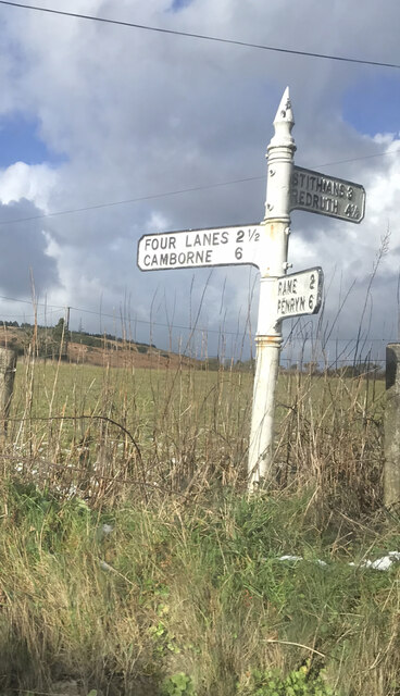
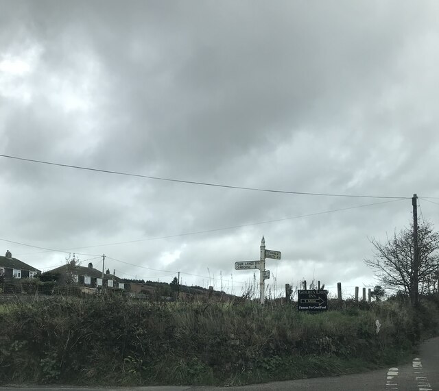
///waiters.sprouted.reboot. Near Four Lanes, Cornwall

Nearby Locations

Tolcarne Wartha Calvadnack

Related Wikis

Calvadnack

Calvadnack (Cornish: Kal Vadnek, meaning prominent point) is a 130 acres (53 hectares) area of heathland 3.7 miles (6.0 km) south-east of Camborne in Cornwall...

Burras

Burras is a village in west Cornwall, England, United Kingdom, approximately five miles (8 km) south of Redruth on the B3297 road. It is in the civil parish...

Boswin

Boswin is a hamlet in Cornwall, England, United Kingdom, situated in a former mining area south of Redruth. According to the Post Office the population...

Farms Common

Farms Common is a hamlet in the parish of Wendron, Cornwall, England. == References ==

Nearby Amenities

Located within 500m of 50.171828,-5.242454
Power: pole
Lat/Long: 50.1689697/-5.2468175
Power: tower
Lat/Long: 50.1681916/-5.2456929
Power: pole
Lat/Long: 50.1699683/-5.2482356
Calvadnack
Place: village
Source: OS_OpenData_StreetView
Lat/Long: 50.1755091/-5.238925
Ford: yes
Lat/Long: 50.1731806/-5.239713
Ford: yes
Lat/Long: 50.1714777/-5.2370356
The data included in this document is from www.openstreetmap.org. The data is made available under ODbL.

Have you been to Tolcarne Wartha?

Leave your review of Tolcarne Wartha below (or comments, questions and feedback).