Higher Moors
Downs, Moorland in Cornwall
England
Higher Moors

Higher Moors is a region located in Cornwall, England, known for its picturesque downs and moorland landscapes. Situated in the southwestern part of the county, it spans over a vast area, offering visitors and locals alike a stunning natural environment to explore.
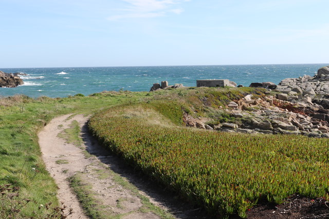
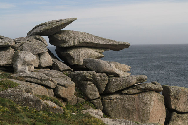
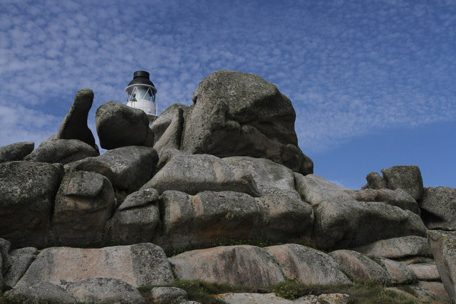
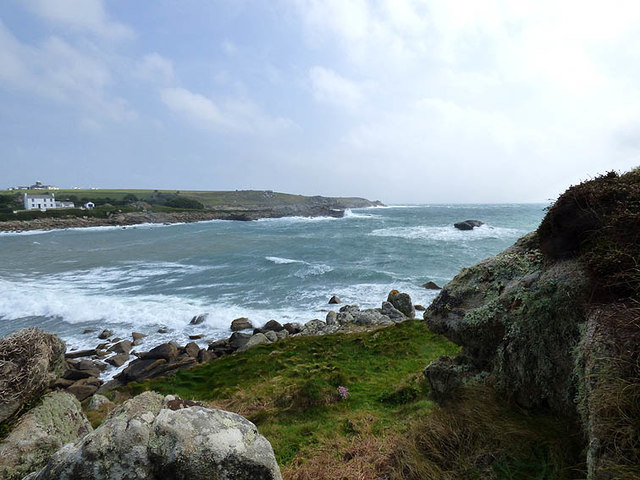
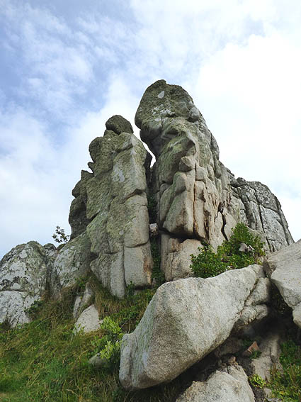
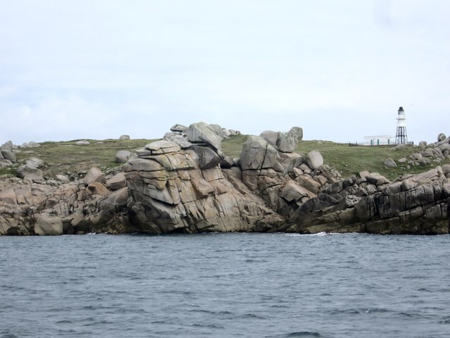
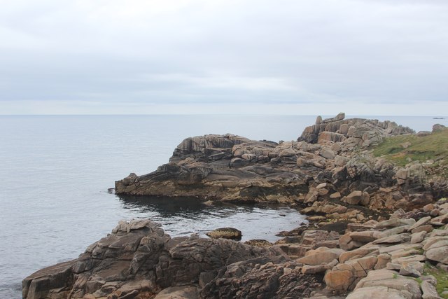
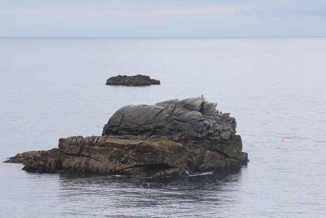
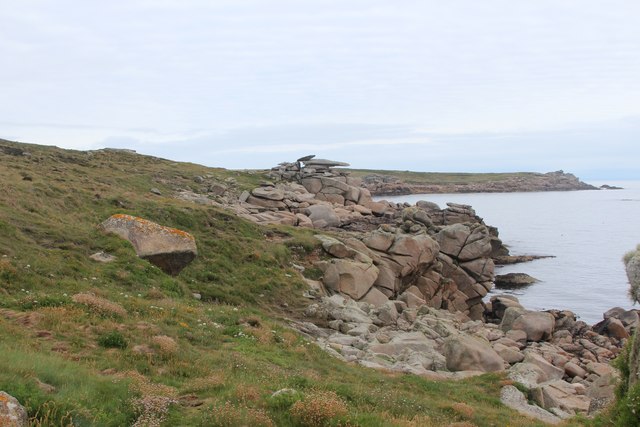
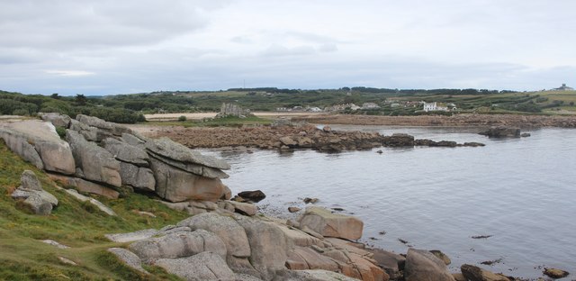
The higher moors are characterized by rolling hills, open grasslands, and heathlands, all blanketed in vibrant colors throughout the seasons. The region is home to a rich diversity of flora and fauna, including rare species of plants and animals that thrive in this unique habitat.
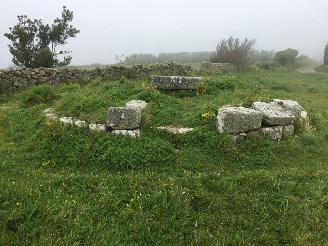
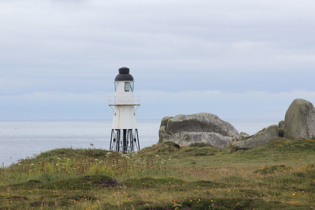
Wandering through Higher Moors, one can discover ancient stone circles, remnants of Bronze Age settlements, and medieval ruins that provide glimpses into the area's fascinating history. The moorland also hosts a network of footpaths and trails, inviting hikers, walkers, and nature enthusiasts to immerse themselves in the serene surroundings.
Besides its natural beauty, Higher Moors offers visitors a chance to witness a variety of bird species, including buzzards, kestrels, and skylarks, soaring through the skies. The region's wetlands and ponds attract a range of waterfowl and wading birds, providing excellent opportunities for birdwatchers and wildlife photographers.
Moreover, Higher Moors is a designated Site of Special Scientific Interest (SSSI), acknowledging its ecological importance and conservation efforts. The moorland ecosystem plays a key role in carbon storage and water regulation, contributing to the overall health of the environment.
Overall, Higher Moors in Cornwall is a captivating destination for those seeking tranquility, natural beauty, and a glimpse into the region's fascinating history and wildlife.
If you have any feedback on the listing, please let us know in the comments section below.
Higher Moors Images
Images are sourced within 2km of 49.919005/-6.2890548 or Grid Reference SV9210. Thanks to Geograph Open Source API. All images are credited.


Higher Moors is located at Grid Ref: SV9210 (Lat: 49.919005, Lng: -6.2890548)
Division: Isles of Scilly
Unitary Authority: Isles of Scilly
Police Authority: Devon and Cornwall
What 3 Words
///handicaps.peanut.dining. Near St Mary's, Isles of Scilly
Related Wikis

Porth Hellick
Porth Hellick (Cornish: Porth Helyk, meaning Willow Cove) is a tidal inlet on the south coast of St Mary’s, the largest island in the Isles of Scilly....
Longstone, Isles of Scilly
Longstone is small settlement on the island of St Mary's, the largest of the Isles of Scilly, England. Nearby is Holy Vale and Rocky Hill. Longstone is...

Normandy, Isles of Scilly
Normandy is a small settlement on the island of St Mary's, the largest of the Isles of Scilly, England. It is located in the east of the island, between...

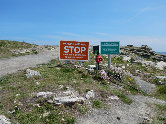
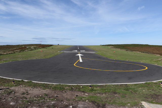
St Mary's Airport, Isles of Scilly
St Mary's Airport or Isles of Scilly Airport (IATA: ISC, ICAO: EGHE) is an airport located 1 nautical mile (1.9 km; 1.2 mi) east of Hugh Town on St Mary...

Holy Vale
Holy Vale (Cornish: Hal an Val) is a minor valley and small settlement within, on the island of St Mary's, the largest of the Isles of Scilly, England...

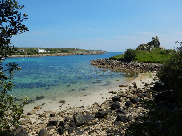
St Mary's, Isles of Scilly
St Mary's (Cornish: Ennor, lit. 'The Mainland') is the largest and most populous island of the Isles of Scilly, an archipelago off the southwest coast...

Maypole, Isles of Scilly
Maypole (Cornish: Peul Kala' Me) is a dispersed settlement located on the island of St Mary's, the largest of the Isles of Scilly, England. It is a tourist...

Giant's Castle, Isles of Scilly
The Giant's Castle is a promontory fort of the Iron Age, on St Mary's, Isles of Scilly, England. It is a scheduled monument. == Description == The fort...
Nearby Amenities
Located within 500m of 49.919005,-6.2890548Have you been to Higher Moors?
Leave your review of Higher Moors below (or comments, questions and feedback).