Newfoundland Rocks
Island in Cornwall
England
Newfoundland Rocks

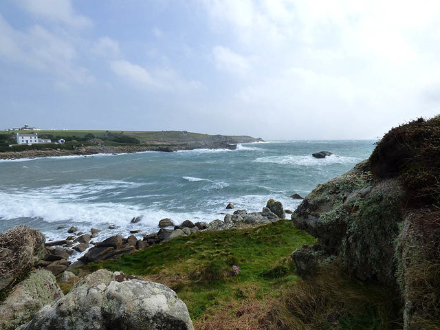
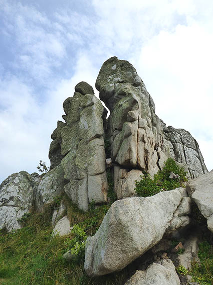
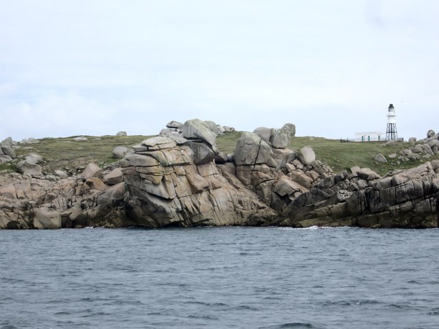
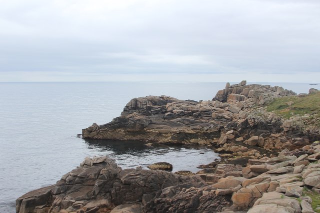
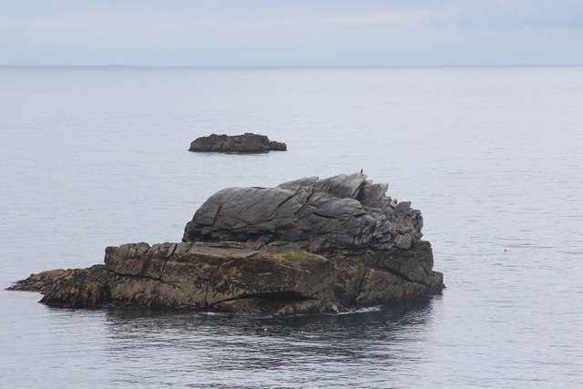
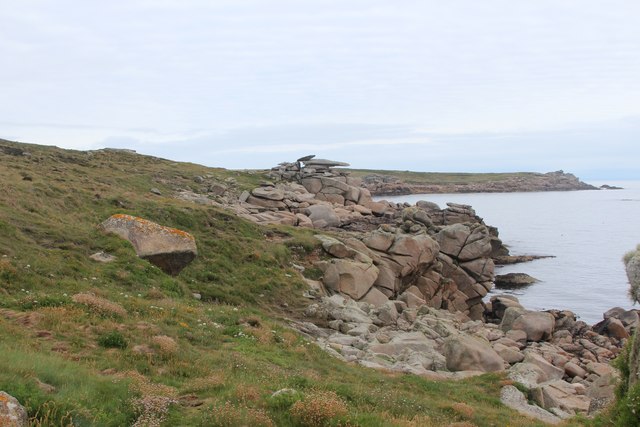
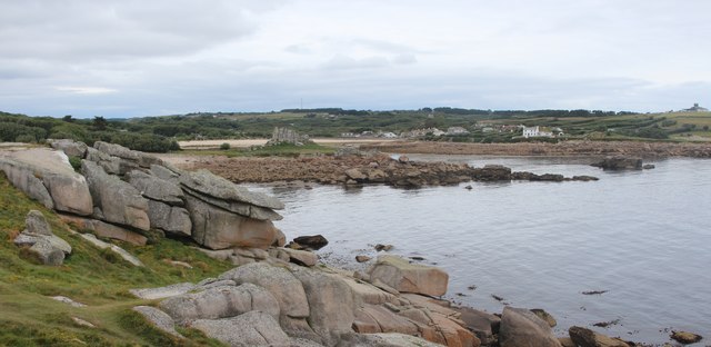
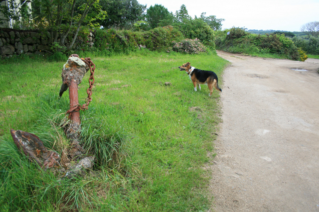
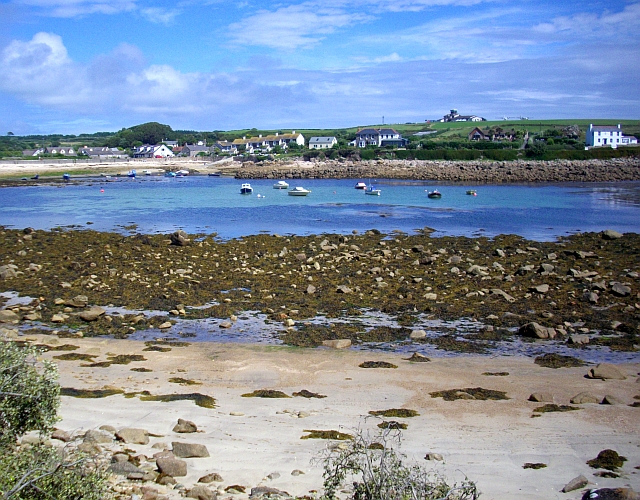
Newfoundland Rocks, Cornwall (Island) is a prominent geological feature located off the southwestern coast of England. It is a small island that is known for its unique rock formations and rugged coastal scenery. The island is situated within Mount's Bay, near the town of Penzance, and is accessible by boat or during low tide via a causeway.
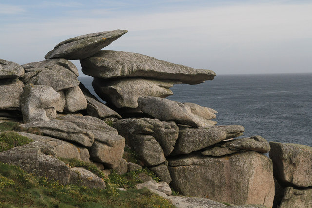
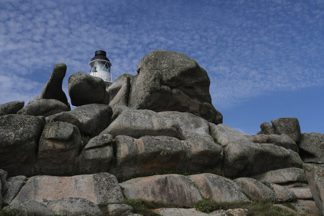
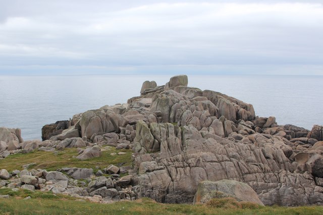
The defining characteristic of Newfoundland Rocks is its striking geological formations. The island is predominantly composed of granite, which has been eroded over millions of years, resulting in dramatic cliffs, caves, and arches. These formations are a testament to the power of natural forces such as wind, waves, and weathering.
The island's coastline is a popular destination for nature enthusiasts and photographers. Visitors are treated to breathtaking views of the Atlantic Ocean, with waves crashing against the rocks and seabirds soaring overhead. The area is also rich in marine life, making it a favored spot for fishing and birdwatching.
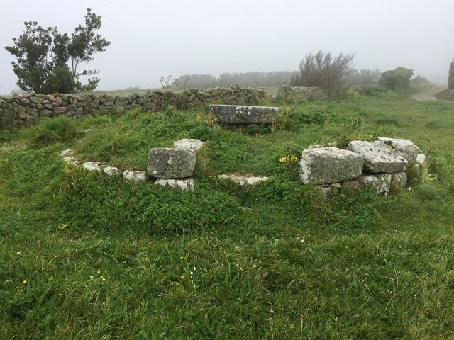
In addition to its natural wonders, Newfoundland Rocks has historical significance. The island is believed to have been inhabited since prehistoric times, and archaeological evidence suggests that it was occupied by ancient Celtic tribes. It also served as a strategic lookout point during various military conflicts throughout history.
Overall, Newfoundland Rocks, Cornwall (Island) offers a unique combination of geological marvels, stunning coastal scenery, and a rich heritage. It is a must-visit destination for those seeking to immerse themselves in nature and explore the wonders of the ancient world.
If you have any feedback on the listing, please let us know in the comments section below.
Newfoundland Rocks Images
Images are sourced within 2km of 49.914112/-6.2817221 or Grid Reference SV9210. Thanks to Geograph Open Source API. All images are credited.


Newfoundland Rocks is located at Grid Ref: SV9210 (Lat: 49.914112, Lng: -6.2817221)
Division: Isles of Scilly
Unitary Authority: Isles of Scilly
Police Authority: Devon and Cornwall
What 3 Words
///towers.prop.trackers. Near St Mary's, Isles of Scilly
Nearby Locations
Related Wikis

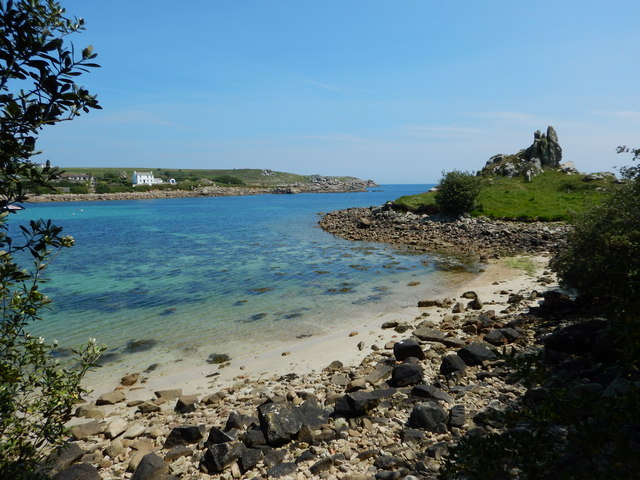
Porth Hellick
Porth Hellick (Cornish: Porth Helyk, meaning Willow Cove) is a tidal inlet on the south coast of St Mary’s, the largest island in the Isles of Scilly....

Giant's Castle, Isles of Scilly
The Giant's Castle is a promontory fort of the Iron Age, on St Mary's, Isles of Scilly, England. It is a scheduled monument. == Description == The fort...
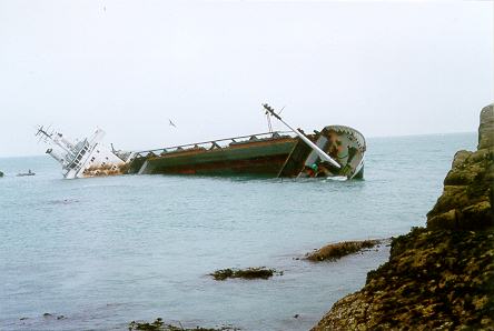
MV Cita
On 26 March 1997, the 300-ft merchant vessel MV Cita pierced its hull when running aground on rocks off the south coast of the Isles of Scilly in gale...

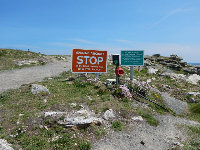
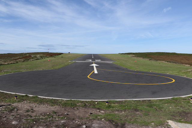
St Mary's Airport, Isles of Scilly
St Mary's Airport or Isles of Scilly Airport (IATA: ISC, ICAO: EGHE) is an airport located 1 nautical mile (1.9 km; 1.2 mi) east of Hugh Town on St Mary...

Normandy, Isles of Scilly
Normandy is a small settlement on the island of St Mary's, the largest of the Isles of Scilly, England. It is located in the east of the island, between...
Longstone, Isles of Scilly
Longstone is small settlement on the island of St Mary's, the largest of the Isles of Scilly, England. Nearby is Holy Vale and Rocky Hill. Longstone is...
Old Town, Isles of Scilly
Old Town (Cornish: Treveglos "church town") is a village on St Mary's in the Isles of Scilly located southeast of Hugh Town. It is thought to be the oldest...

Holy Vale
Holy Vale (Cornish: Hal an Val) is a minor valley and small settlement within, on the island of St Mary's, the largest of the Isles of Scilly, England...
Nearby Amenities
Located within 500m of 49.914112,-6.2817221Have you been to Newfoundland Rocks?
Leave your review of Newfoundland Rocks below (or comments, questions and feedback).