Loaded Camel Rock
Coastal Feature, Headland, Point in Cornwall
England
Loaded Camel Rock

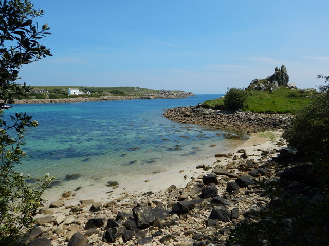
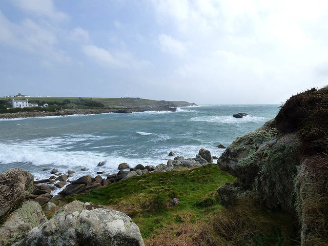
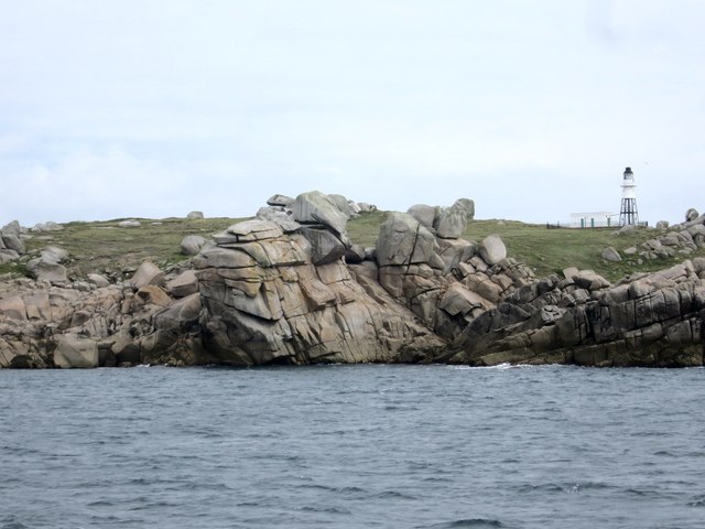
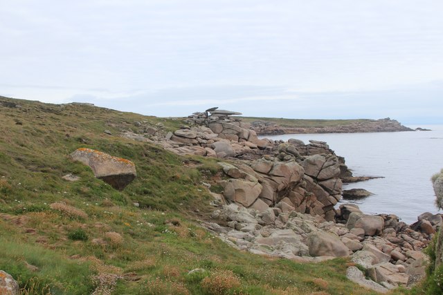
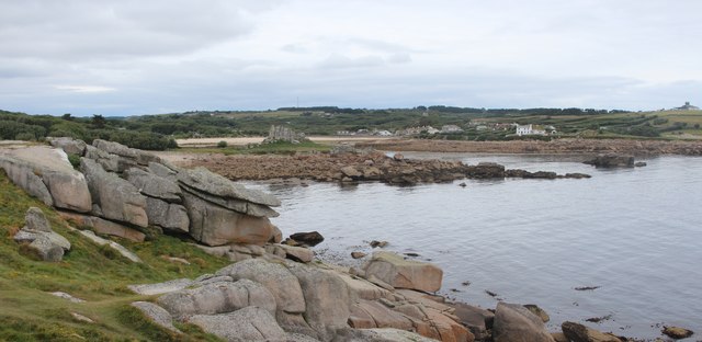
Loaded Camel Rock is a prominent coastal feature located in Cornwall, England. Situated on the southwestern tip of the country, it is a headland that extends into the Atlantic Ocean, offering stunning views of the surrounding coastline.
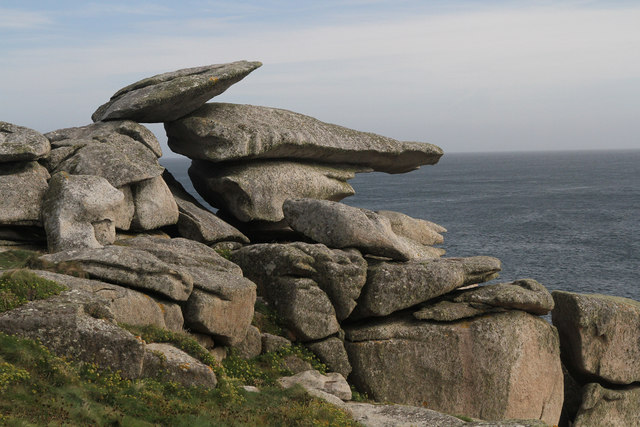
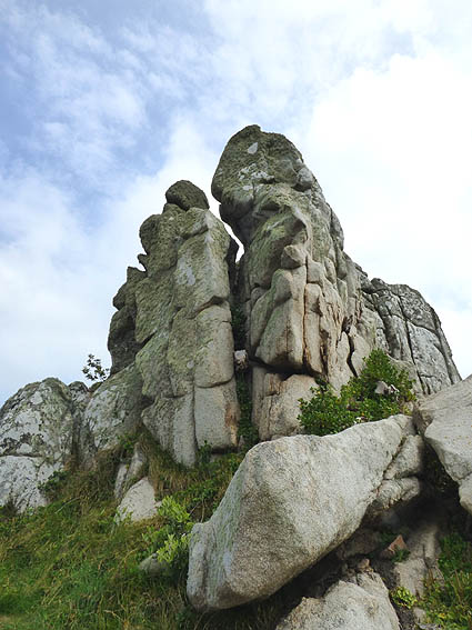
The rock formation gets its name from its unique shape, which resembles a camel loaded with goods. It stands tall and imposing, with its distinctive hump-like structure visible from a distance. The rock is composed of hard and resistant materials, making it durable against the powerful waves and weather conditions that batter the coast.
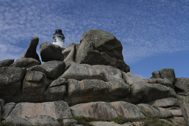
Loaded Camel Rock is a popular tourist destination due to its picturesque scenery and the opportunity it provides for outdoor activities. It attracts visitors of all ages, from families looking to explore the coastal paths to photographers seeking to capture its beauty.
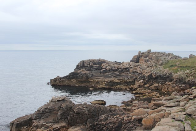
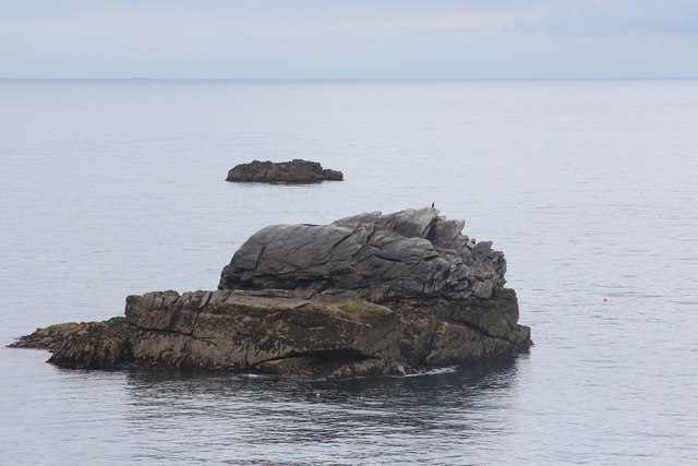
The headland offers excellent vantage points for observing marine life, with seals often spotted basking on nearby rocks. The area is also home to a diverse range of bird species, making it a haven for birdwatchers.
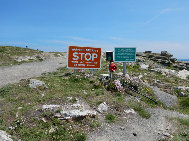
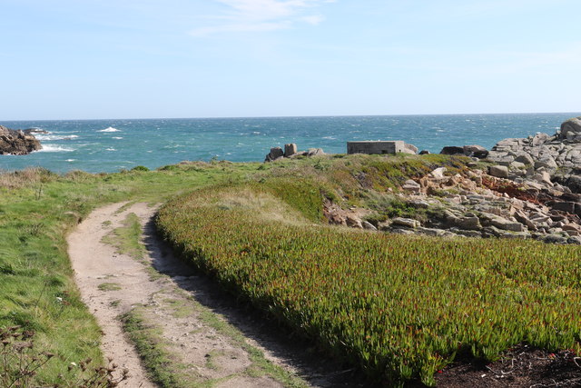
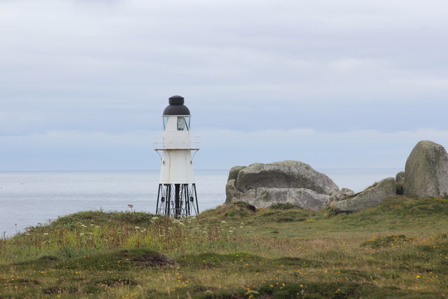
Access to Loaded Camel Rock is relatively easy, with a well-maintained footpath leading to the headland. However, caution is advised as the cliffs can be dangerous, especially during high tides and storms. Local authorities have installed safety measures, including warning signs, to ensure visitors can enjoy the area safely.
Overall, Loaded Camel Rock in Cornwall is a natural wonder that showcases the beauty of the English coastline. Its unique shape, breathtaking views, and abundance of wildlife make it a must-visit location for nature enthusiasts and those seeking a peaceful retreat by the sea.
If you have any feedback on the listing, please let us know in the comments section below.
Loaded Camel Rock Images
Images are sourced within 2km of 49.916444/-6.2836153 or Grid Reference SV9210. Thanks to Geograph Open Source API. All images are credited.


Loaded Camel Rock is located at Grid Ref: SV9210 (Lat: 49.916444, Lng: -6.2836153)
Division: Isles of Scilly
Unitary Authority: Isles of Scilly
Police Authority: Devon and Cornwall
Also known as: Dick's Carn
What 3 Words
///shifters.recorders.rips. Near St Mary's, Isles of Scilly
Nearby Locations
Related Wikis

Porth Hellick
Porth Hellick (Cornish: Porth Helyk, meaning Willow Cove) is a tidal inlet on the south coast of St Mary’s, the largest island in the Isles of Scilly....

Giant's Castle, Isles of Scilly
The Giant's Castle is a promontory fort of the Iron Age, on St Mary's, Isles of Scilly, England. It is a scheduled monument. == Description == The fort...
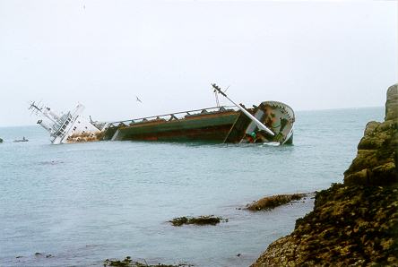
MV Cita
On 26 March 1997, the 300-ft merchant vessel MV Cita pierced its hull when running aground on rocks off the south coast of the Isles of Scilly in gale...

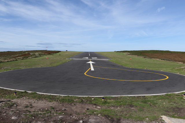
St Mary's Airport, Isles of Scilly
St Mary's Airport or Isles of Scilly Airport (IATA: ISC, ICAO: EGHE) is an airport located 1 nautical mile (1.9 km; 1.2 mi) east of Hugh Town on St Mary...
Related Videos

Paul can’t resist honing his video skills, even when on holiday! Our holiday accommodation 😀
Book your stay on these magnificent islands through @come2scilly www.come2scilly.com Still learning how to make the most of ...

ISLES OF SCILLY, CORNWALL - Is The Day Trip Worth It?
In this video I embark on a return day trip from Penzance to St Mary's, Isles of Scilly and determine whether the long day of ...


Nearby Amenities
Located within 500m of 49.916444,-6.2836153Have you been to Loaded Camel Rock?
Leave your review of Loaded Camel Rock below (or comments, questions and feedback).