Newfoundland Point
Coastal Feature, Headland, Point in Cornwall
England
Newfoundland Point

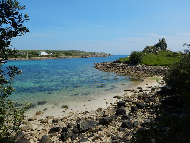
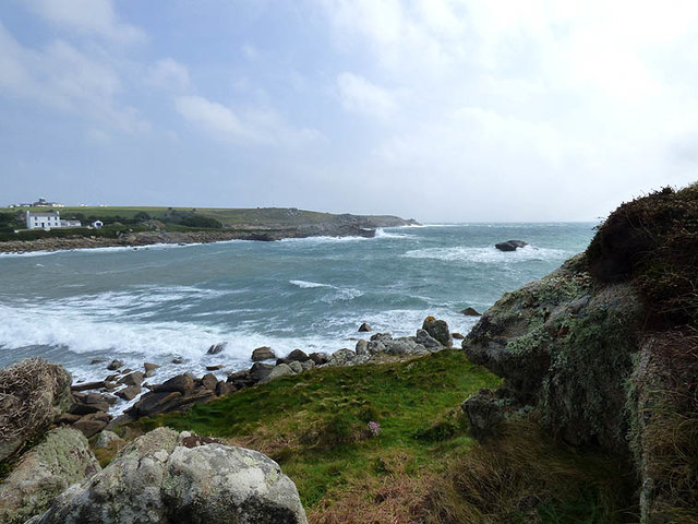
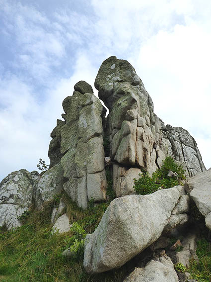
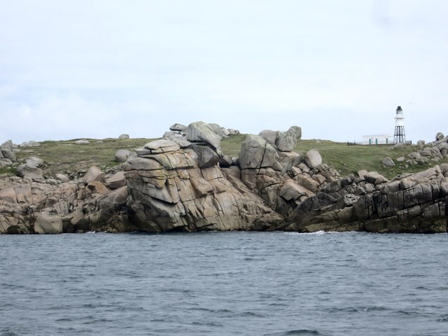
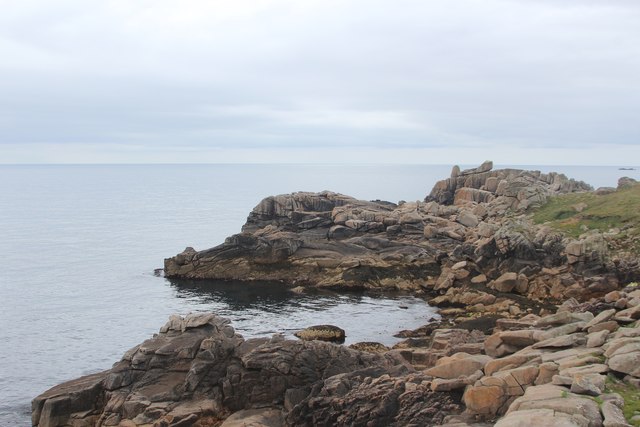
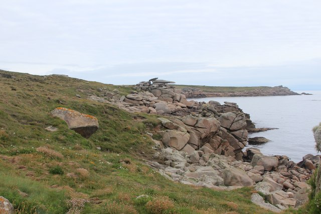
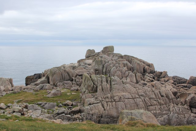
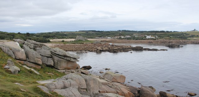
Newfoundland Point is a prominent coastal feature located in Cornwall, England. It is a picturesque headland that extends out into the Atlantic Ocean, offering breathtaking views and a tranquil retreat for visitors. Situated in the southwestern part of Cornwall, Newfoundland Point is known for its rugged beauty and dramatic cliffs that overlook the crashing waves below.
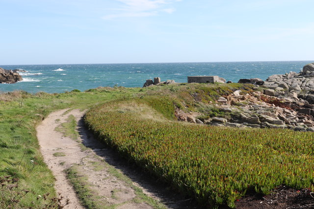
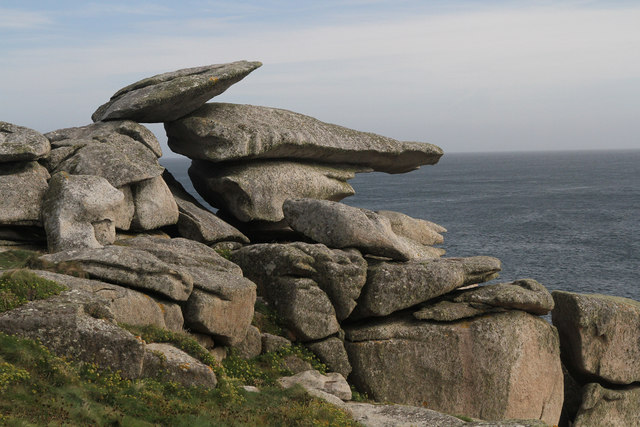
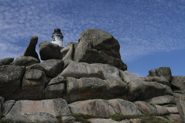
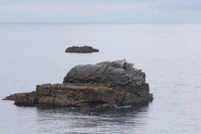
This headland is characterized by its rocky terrain and jagged cliffs, which have been eroded over time by the relentless power of the ocean. The cliffs stand tall, reaching heights of up to 100 meters, and are composed of various rock formations, including slate and granite. These geological features create a stunning backdrop against the deep blue sea and provide a haven for a diverse range of bird species.
The area surrounding Newfoundland Point is a designated Area of Outstanding Natural Beauty, attracting nature enthusiasts and hikers from all over the world. The headland offers several walking trails that meander along the cliffs, providing breathtaking views of the coastline and the opportunity to spot seals, dolphins, and even whales in the waters below.
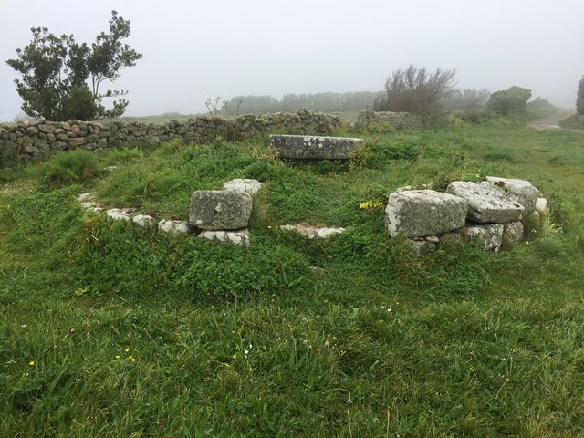
Newfoundland Point is also steeped in history, with remnants of ancient settlements and mining activities dotting the landscape. The headland was once home to a thriving mining industry, and traces of its industrial past can still be seen in the form of abandoned mine shafts and ruins.
Overall, Newfoundland Point is a captivating coastal feature that showcases the raw beauty of Cornwall's rugged coastline. Its breathtaking views, diverse wildlife, and rich history make it a must-visit destination for nature lovers and history enthusiasts alike.
If you have any feedback on the listing, please let us know in the comments section below.
Newfoundland Point Images
Images are sourced within 2km of 49.912972/-6.2801857 or Grid Reference SV9210. Thanks to Geograph Open Source API. All images are credited.


Newfoundland Point is located at Grid Ref: SV9210 (Lat: 49.912972, Lng: -6.2801857)
Division: Isles of Scilly
Unitary Authority: Isles of Scilly
Police Authority: Devon and Cornwall
What 3 Words
///yard.boards.drumbeat. Near St Mary's, Isles of Scilly
Nearby Locations
Related Wikis
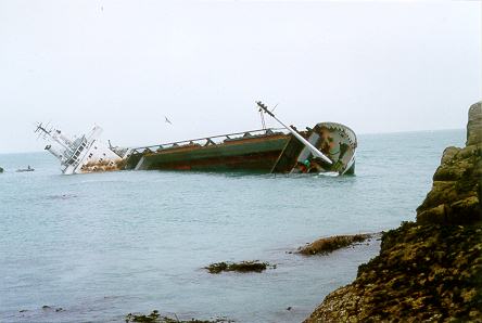
MV Cita
On 26 March 1997, the 300-ft merchant vessel MV Cita pierced its hull when running aground on rocks off the south coast of the Isles of Scilly in gale...

Giant's Castle, Isles of Scilly
The Giant's Castle is a promontory fort of the Iron Age, on St Mary's, Isles of Scilly, England. It is a scheduled monument. == Description == The fort...

Porth Hellick
Porth Hellick (Cornish: Porth Helyk, meaning Willow Cove) is a tidal inlet on the south coast of St Mary’s, the largest island in the Isles of Scilly....

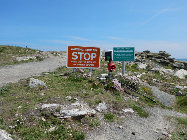
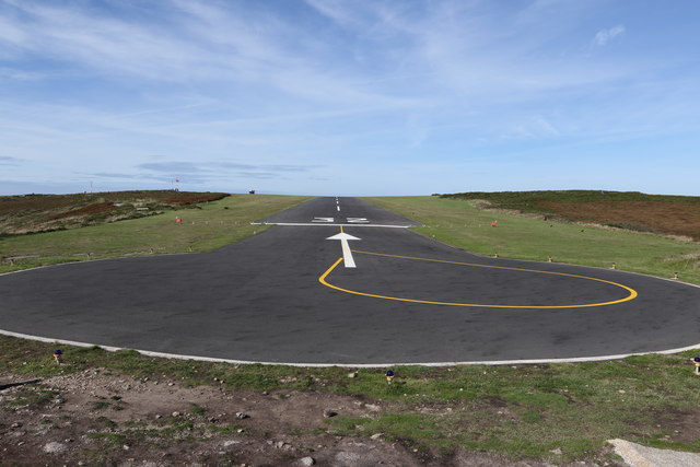
St Mary's Airport, Isles of Scilly
St Mary's Airport or Isles of Scilly Airport (IATA: ISC, ICAO: EGHE) is an airport located 1 nautical mile (1.9 km; 1.2 mi) east of Hugh Town on St Mary...
Nearby Amenities
Located within 500m of 49.912972,-6.2801857Have you been to Newfoundland Point?
Leave your review of Newfoundland Point below (or comments, questions and feedback).