Porth Hellick Point
Coastal Feature, Headland, Point in Cornwall
England
Porth Hellick Point

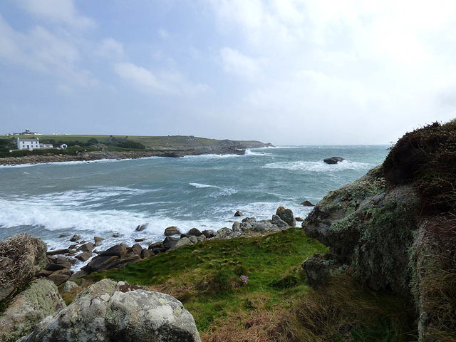
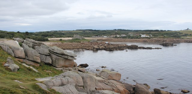
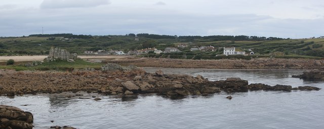
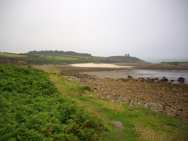
Porth Hellick Point is a prominent coastal feature located on the island of St Mary's, in the Isles of Scilly, Cornwall, United Kingdom. It is a headland that extends into the Atlantic Ocean, forming a distinctive point along the coast.
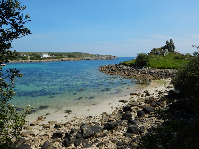
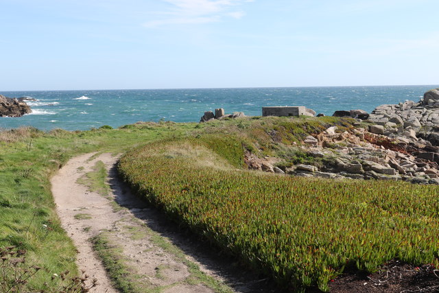
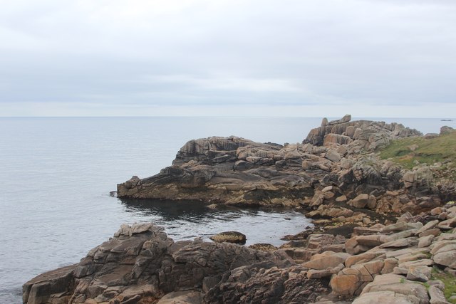
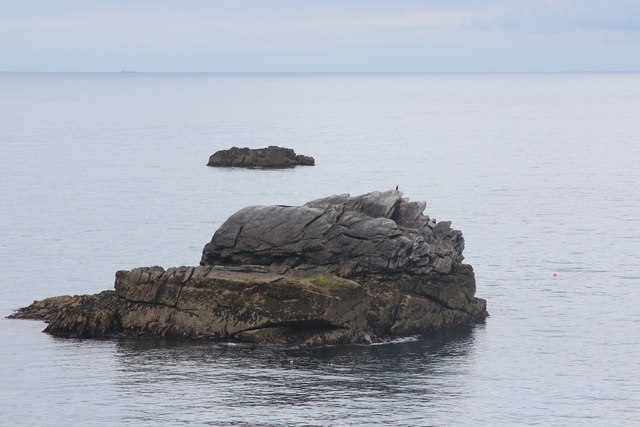
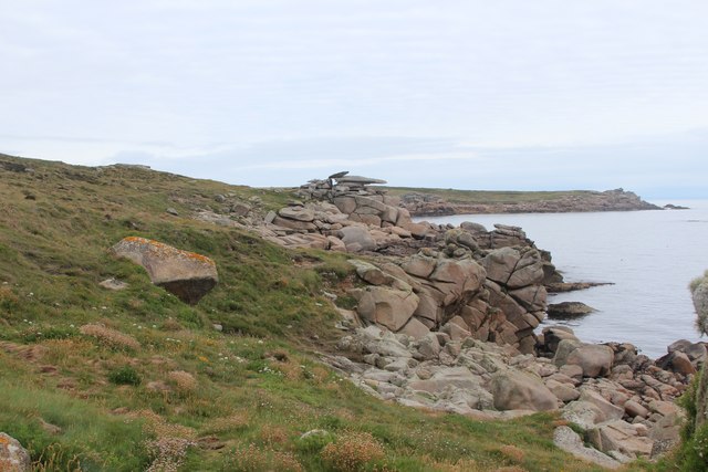
The point is characterized by rugged cliffs, rocky outcrops, and a diverse range of flora and fauna. The cliffs, made up of granite, offer stunning panoramic views of the surrounding coastline and the vast ocean beyond. The area is known for its dramatic and picturesque landscapes, attracting both locals and tourists alike.
Porth Hellick Point is a popular spot for birdwatchers, as it is a designated Site of Special Scientific Interest (SSSI) due to its significance for breeding seabirds. Visitors can spot a variety of species, including puffins, razorbills, and gulls. The coastal heathland found on the headland is also home to a wide range of wildflowers, contributing to the area's natural beauty.
The point is easily accessible, with a well-maintained footpath leading from Porth Hellick Bay. The bay itself is a sheltered cove with crystal-clear waters, making it a popular spot for swimming and snorkeling.
Overall, Porth Hellick Point offers a unique coastal experience in Cornwall. Its rugged cliffs, diverse wildlife, and stunning views make it a must-visit destination for nature enthusiasts and those seeking a peaceful escape by the sea.
If you have any feedback on the listing, please let us know in the comments section below.
Porth Hellick Point Images
Images are sourced within 2km of 49.915184/-6.2792393 or Grid Reference SV9210. Thanks to Geograph Open Source API. All images are credited.


Porth Hellick Point is located at Grid Ref: SV9210 (Lat: 49.915184, Lng: -6.2792393)
Division: Isles of Scilly
Unitary Authority: Isles of Scilly
Police Authority: Devon and Cornwall
What 3 Words
///skip.tinted.liberated. Near St Mary's, Isles of Scilly
Nearby Locations
Related Wikis

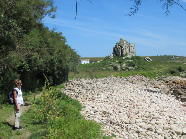
Porth Hellick
Porth Hellick (Cornish: Porth Helyk, meaning Willow Cove) is a tidal inlet on the south coast of St Mary’s, the largest island in the Isles of Scilly....
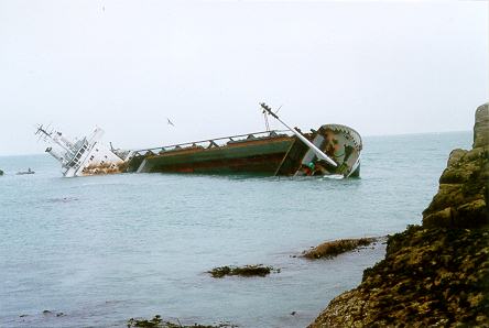
MV Cita
On 26 March 1997, the 300-ft merchant vessel MV Cita pierced its hull when running aground on rocks off the south coast of the Isles of Scilly in gale...

Giant's Castle, Isles of Scilly
The Giant's Castle is a promontory fort of the Iron Age, on St Mary's, Isles of Scilly, England. It is a scheduled monument. == Description == The fort...

Normandy, Isles of Scilly
Normandy is a small settlement on the island of St Mary's, the largest of the Isles of Scilly, England. It is located in the east of the island, between...

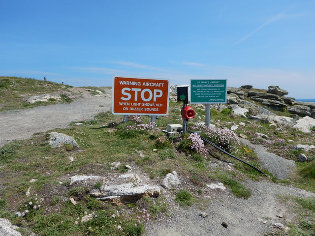
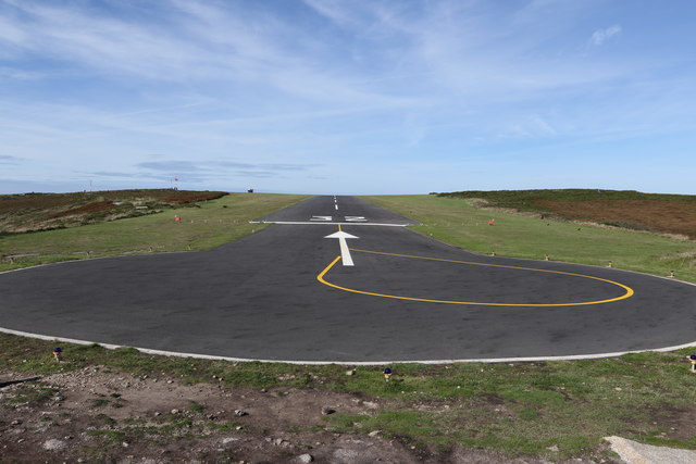
St Mary's Airport, Isles of Scilly
St Mary's Airport or Isles of Scilly Airport (IATA: ISC, ICAO: EGHE) is an airport located 1 nautical mile (1.9 km; 1.2 mi) east of Hugh Town on St Mary...
Pelistry
Pelistry (Cornish: Porth Lystry "cove for ships") is a small settlement, situated east of Maypole and north of Normandy, in the east of the island of St...
Longstone, Isles of Scilly
Longstone is small settlement on the island of St Mary's, the largest of the Isles of Scilly, England. Nearby is Holy Vale and Rocky Hill. Longstone is...

Holy Vale
Holy Vale (Cornish: Hal an Val) is a minor valley and small settlement within, on the island of St Mary's, the largest of the Isles of Scilly, England...
Nearby Amenities
Located within 500m of 49.915184,-6.2792393Have you been to Porth Hellick Point?
Leave your review of Porth Hellick Point below (or comments, questions and feedback).