Porth Loggos
Bay in Cornwall
England
Porth Loggos

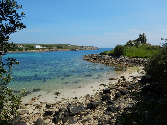
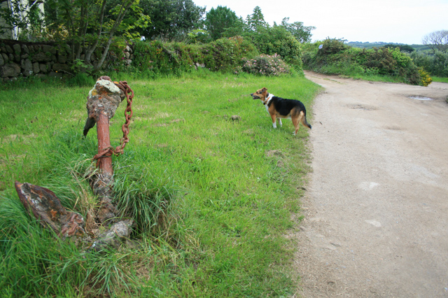
Porth Loggos is a small bay located on the northern coast of Cornwall, England. It is nestled between the popular tourist destinations of Newquay and Padstow, making it easily accessible for visitors looking for a quieter and more secluded beach experience.
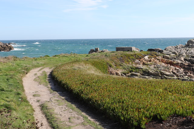
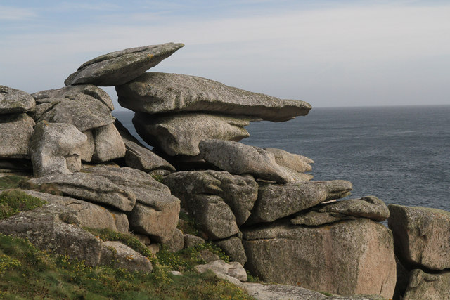
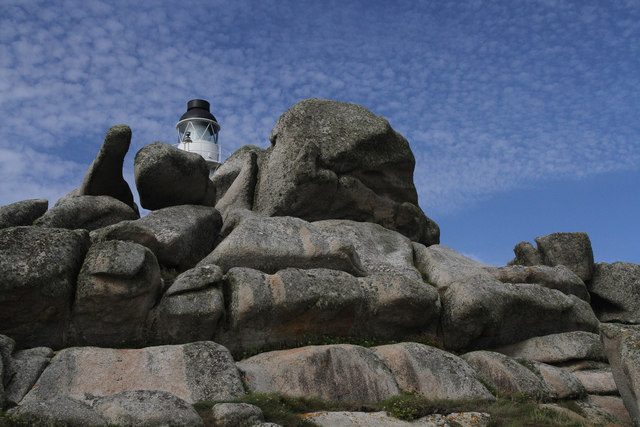
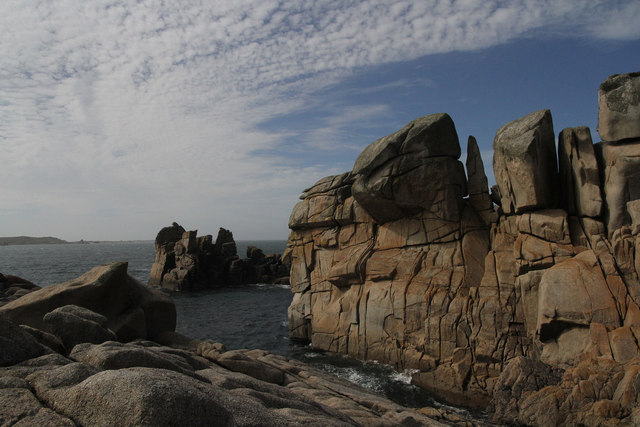
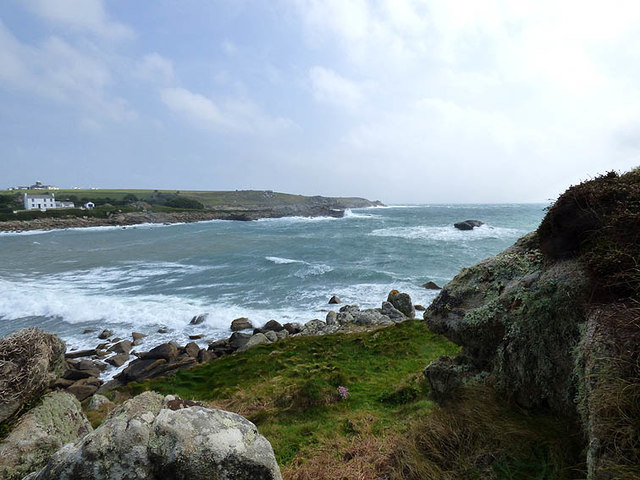
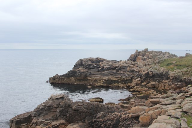
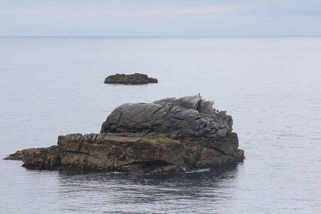
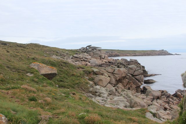
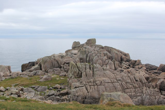
The bay itself is a picturesque stretch of golden sand, dotted with rocks and surrounded by cliffs. Its sheltered position makes it an ideal spot for swimming, fishing, and other water activities. The crystal-clear waters provide excellent visibility for snorkeling and diving enthusiasts.
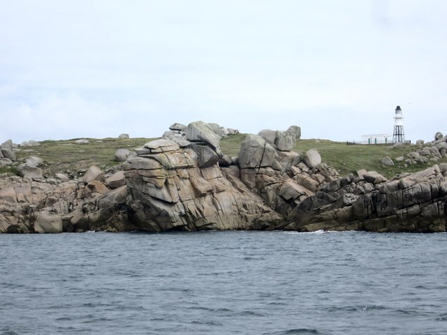
Porth Loggos is also known for its stunning natural beauty. The cliffs that frame the bay offer breathtaking views of the Atlantic Ocean and the rugged Cornwall coastline. The bay is often visited by birdwatchers, as it serves as a habitat for various seabirds, including gulls, cormorants, and puffins.
Facilities at Porth Loggos are limited, contributing to its peaceful atmosphere. Visitors will find a small car park nearby, as well as public toilets and a café. The lack of commercial development ensures that the bay retains its natural charm and remains unspoiled.
Overall, Porth Loggos is a hidden gem on the Cornish coast, offering a tranquil and picturesque beach experience away from the crowds. Its natural beauty, clear waters, and peaceful atmosphere make it a must-visit destination for nature lovers and those seeking a serene beach escape.
If you have any feedback on the listing, please let us know in the comments section below.
Porth Loggos Images
Images are sourced within 2km of 49.913351/-6.2825882 or Grid Reference SV9210. Thanks to Geograph Open Source API. All images are credited.


Porth Loggos is located at Grid Ref: SV9210 (Lat: 49.913351, Lng: -6.2825882)
Division: Isles of Scilly
Unitary Authority: Isles of Scilly
Police Authority: Devon and Cornwall
What 3 Words
///middle.cured.flashing. Near St Mary's, Isles of Scilly
Nearby Locations
Related Wikis

Giant's Castle, Isles of Scilly
The Giant's Castle is a promontory fort of the Iron Age, on St Mary's, Isles of Scilly, England. It is a scheduled monument. == Description == The fort...

Porth Hellick
Porth Hellick (Cornish: Porth Helyk, meaning Willow Cove) is a tidal inlet on the south coast of St Mary’s, the largest island in the Isles of Scilly....
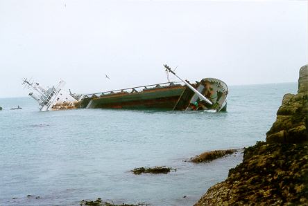
MV Cita
On 26 March 1997, the 300-ft merchant vessel MV Cita pierced its hull when running aground on rocks off the south coast of the Isles of Scilly in gale...

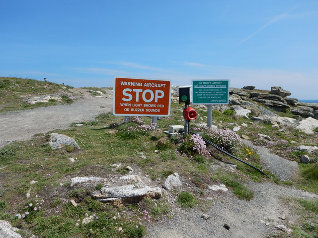
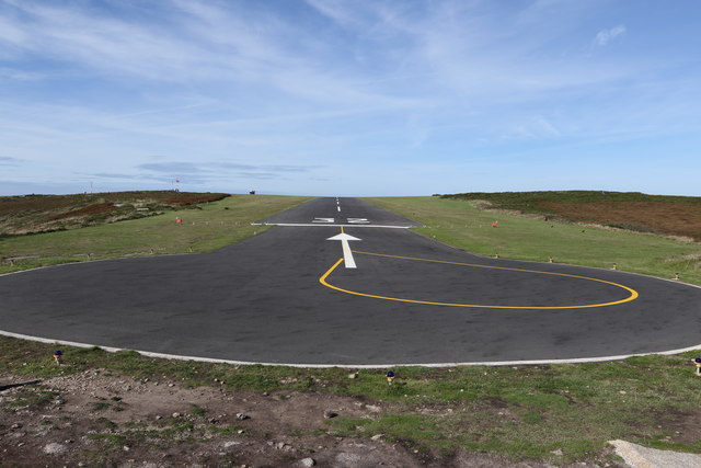
St Mary's Airport, Isles of Scilly
St Mary's Airport or Isles of Scilly Airport (IATA: ISC, ICAO: EGHE) is an airport located 1 nautical mile (1.9 km; 1.2 mi) east of Hugh Town on St Mary...

Normandy, Isles of Scilly
Normandy is a small settlement on the island of St Mary's, the largest of the Isles of Scilly, England. It is located in the east of the island, between...
Old Town, Isles of Scilly
Old Town (Cornish: Treveglos "church town") is a village on St Mary's in the Isles of Scilly located southeast of Hugh Town. It is thought to be the oldest...
Longstone, Isles of Scilly
Longstone is small settlement on the island of St Mary's, the largest of the Isles of Scilly, England. Nearby is Holy Vale and Rocky Hill. Longstone is...

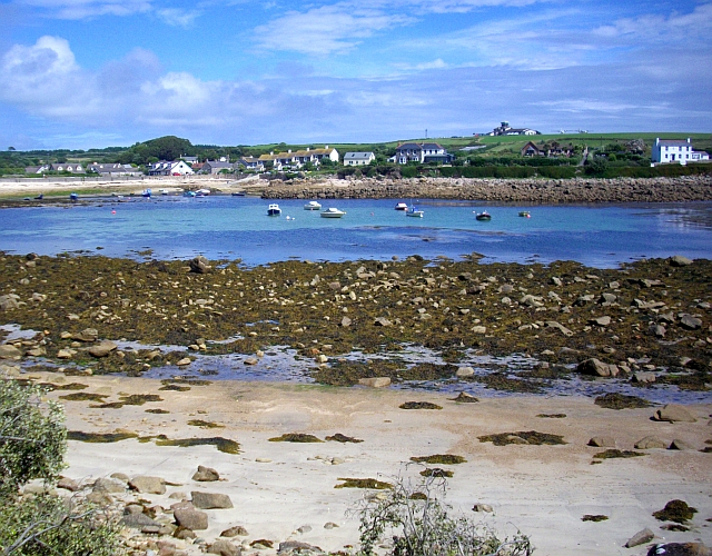
St Mary's, Isles of Scilly
St Mary's (Cornish: Ennor, lit. 'The Mainland') is the largest and most populous island of the Isles of Scilly, an archipelago off the southwest coast...
Nearby Amenities
Located within 500m of 49.913351,-6.2825882Have you been to Porth Loggos?
Leave your review of Porth Loggos below (or comments, questions and feedback).