The Cliff

Cliff, Slope in Suffolk Babergh

England

The Cliff

Footpath leaving Lings Lane
Footpath leaving Lings Lane Credit: Robin Webster

The Cliff, Suffolk, also known as Cliff Slope, is a distinctive geographical feature located on the eastern coast of England, in the county of Suffolk. This natural landmark stretches along the coastline, spanning approximately 50 miles from the town of Felixstowe in the south to the village of Kessingland in the north.

The Cliff is characterized by its steep and eroded face, formed by the continuous action of coastal erosion over thousands of years. It is composed primarily of soft sediments, including sand, clay, and gravel, which are easily eroded by the relentless forces of the North Sea. The height of the cliff face varies along its length, ranging from 10 to 30 meters.

The Cliff is not only a significant geological feature but also a popular destination for tourists and locals alike. Its stunning panoramic views of the North Sea and the surrounding coastal landscape attract visitors throughout the year. The area is also known for its diverse wildlife, with many bird species making their home in the cliffs and surrounding habitats.

While the Cliff provides a picturesque setting for leisure activities such as walking, birdwatching, and photography, it is important to exercise caution when exploring its vicinity. Due to the ongoing process of coastal erosion, the cliff face is unstable, and rockfalls and landslides can occur. Visitors are advised to stay away from the edge and follow designated paths and safety guidelines.

Overall, the Cliff, Suffolk is a captivating natural wonder, showcasing the dynamic and ever-changing nature of our planet's coastlines. Its beauty, combined with its ecological significance, makes it a truly remarkable destination for nature enthusiasts and those seeking a unique coastal experience.

If you have any feedback on the listing, please let us know in the comments section below.
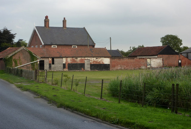
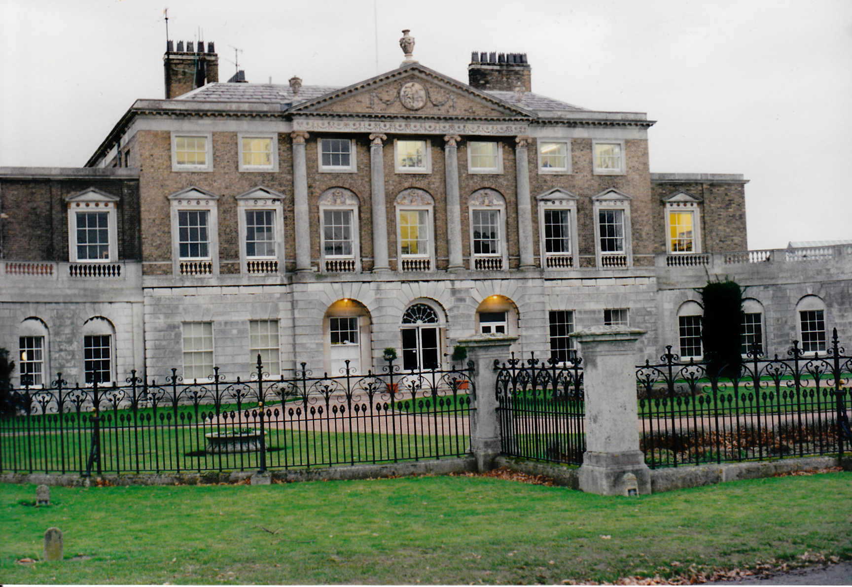
The Cliff Images

Images are sourced within 2km of 51.996157/1.2157316 or Grid Reference TM2037. Thanks to Geograph Open Source API. All images are credited.

Footpath leaving Lings Lane
A long drive Woolverstone Hall Woolverstone Suffolk.Now a school. More info see <span class="nowrap"><a title="http://en.wikipedia.org/wiki/Woolverstone_Hall" rel="nofollow ugc noopener" href="http://en.wikipedia.org/wiki/Woolverstone_Hall">Link</a><img style="margin-left:2px;" alt="External link" title="External link - shift click to open in new window" src="https://s1.geograph.org.uk/img/external.png" width="10" height="10"/></span>
A long drive
Woolverstone Hall Woolverstone Suffolk.Now a school. More info see LinkExternal link
St Michael's, Woolverstone Taken from the drive down to the marina.
St Michael's, Woolverstone
Taken from the drive down to the marina.
Farmhouse at Walnut Tree Farm
Entrance To Bylam Farm Entrance to Bylam Farm near to Chelmodiston Suffolk.
Entrance To Bylam Farm
Entrance to Bylam Farm near to Chelmodiston Suffolk.
Farm Pond Old pond at Bylam Farm near to Chelmondiston Suffolk.
Farm Pond
Old pond at Bylam Farm near to Chelmondiston Suffolk.
Woolverstone Marina Mdl owned Marina on the River Orwell
Woolverstone Marina
Mdl owned Marina on the River Orwell
Woolverstone Church
Woolverstone Church
Bridleway to Bylam Farm
Walnut Tree Farm
Walnut Tree Farm
Looking across Ling Lane The corner of Upper Grove in the background, with the line of Grove Lane across the field in the middle distance.  South of Chelmondiston, Ling Lane heads towards Harkstead.
Looking across Ling Lane
The corner of Upper Grove in the background, with the line of Grove Lane across the field in the middle distance. South of Chelmondiston, Ling Lane heads towards Harkstead.
Footpath by field Across quiet farmland towards Bylam Farm, from Ling Lane.
Footpath by field
Across quiet farmland towards Bylam Farm, from Ling Lane.
Footpath to Ling Lane The lane crosses at the end of the high hedge line, with the bale in the field beyond.
Footpath to Ling Lane
The lane crosses at the end of the high hedge line, with the bale in the field beyond.
Prairie like field near Chelmondiston Recently harvested and awaiting clearance of the stubble.
Prairie like field near Chelmondiston
Recently harvested and awaiting clearance of the stubble.
Bylam Farm As seen from Bylam lane.
Bylam Farm
As seen from Bylam lane.
On Bylam Lane Heading towards the B1456 just west of Chelmondiston.
On Bylam Lane
Heading towards the B1456 just west of Chelmondiston.
Bylam Cottage Located by a sharp corner on Bylam Lane.
Bylam Cottage
Located by a sharp corner on Bylam Lane.
Walnut Tree Farm By the B1456 west of Chelmondiston.
Walnut Tree Farm
By the B1456 west of Chelmondiston.
Show me another place!

The Cliff is located at Grid Ref: TM2037 (Lat: 51.996157, Lng: 1.2157316)

Administrative County: Suffolk

District: Babergh

Police Authority: Suffolk

What 3 Words

///insisting.sporting.reversed. Near Holbrook, Suffolk

Related Wikis

Pin Mill

Pin Mill is a hamlet on the south bank of the tidal River Orwell, on the outskirts of the village of Chelmondiston, on the Shotley peninsula in southern...

Chelmondiston

Chelmondiston is a small village and civil parish in Suffolk, England located on the Shotley Peninsula, five miles south-east of Ipswich. The hamlet of...

Orwell Estuary

Orwell Estuary is a 1,335.7 hectare biological Site of Special Scientific Interest which stretches along the River Orwell and its banks between Felixstowe...

Ipswich High School, Suffolk

Ipswich High School is a co-educational private school at Woolverstone Hall near Ipswich, England. Formerly an exclusive school for girls, it was converted...

Woolverstone Hall School

In the early 1950s the London County Council obtained use of Woolverstone Hall near Ipswich, Suffolk, and some 50 acres (200,000 m2) of adjoining land...

Orwell Park School

Orwell Park School is a day and boarding preparatory school for boys and girls in the village of Nacton on the edge of Ipswich in the English county of...

Broke Hall

Broke Hall is an English country house at Nacton, near Ipswich, Suffolk. It overlooks the River Orwell, opposite Pin Mill. The gardens were landscaped...

Woolverstone

Woolverstone is a small village and civil parish in Suffolk, England located on the Shotley peninsula. It is situated about 6.4 km (4.0 mi) south of Ipswich...

Nearby Amenities

Located within 500m of 51.996157,1.2157316
Pin Mill
Place: hamlet
Wikidata: Q7194754
Wikipedia: en:Pin Mill
Lat/Long: 51.9959341/1.212112
Seamark Buoy Lateral Category: starboard
Seamark Buoy Lateral Colour: green
Seamark Buoy Lateral Shape: conical
Seamark Buoy Lateral System: iala-a
Seamark Light Character: Q
Seamark Light Colour: green
Seamark Name: No. 5
Seamark Type: buoy_lateral
Lat/Long: 52.0005899/1.2169456
Cafe
The Pin Mill Studio
Addr City: Ipswich
Addr Housename: The Pin Mill Studio
Addr Postcode: IP9 1JN
Addr Street: Pinmill Road
Cuisine: coffee_shop
Note: plus studio gallery
Outdoor Seating: yes
Smoking: no
Lat/Long: 51.9962821/1.2124306
Leisure: picnic_table
Lat/Long: 51.9963688/1.2123951
Leisure: picnic_table
Lat/Long: 51.9963294/1.2123951
Leisure: picnic_table
Lat/Long: 51.9963294/1.2124823
Leisure: picnic_table
Lat/Long: 51.9963294/1.2125675
Leisure: picnic_table
Lat/Long: 51.9964081/1.212411
Post Box
Operator: Royal Mail
Operator Type: private
Operator Wikidata: Q638098
Post Box Mounting: pier
Post Box Type: lamp
Ref: IP9 1129
Lat/Long: 51.9961395/1.2120554
The data included in this document is from www.openstreetmap.org. The data is made available under ODbL.

Have you been to The Cliff?

Leave your review of The Cliff below (or comments, questions and feedback).