Western Cliffs
Cliff, Slope in Hampshire
England
Western Cliffs
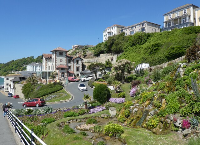
Western Cliffs, Hampshire, also known as Cliff or Slope, is a prominent geological formation located in the southern region of England. Situated on the western coast of Hampshire, these cliffs span a considerable length and provide breathtaking views of the English Channel.
Rising to an impressive height of approximately 100 meters, the Western Cliffs are composed primarily of chalk and flint, resulting in their distinctive white appearance. Over millions of years, the cliffs have been shaped by erosion, creating a dramatic and rugged landscape that attracts visitors from all around the world.
The Western Cliffs offer a range of activities and attractions for nature enthusiasts and tourists alike. Hiking trails crisscross the area, allowing visitors to explore the cliffs and enjoy the stunning vistas. Birdwatchers flock to the cliffs, as they serve as an important breeding ground for various seabirds, including gulls, puffins, and razorbills.
Moreover, the Western Cliffs play a significant role in the region's history and cultural heritage. The site is home to several ancient fossils and remains, providing valuable insights into the geological history of the area. Archaeological discoveries have also been made in the vicinity, shedding light on the early human settlements and activities that took place in the area.
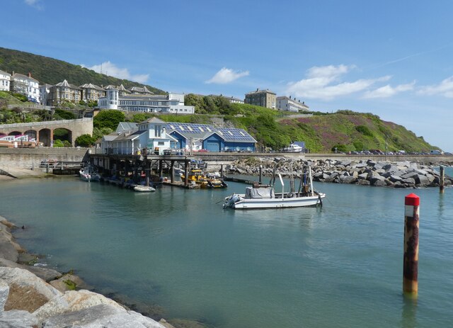
Visitors to Western Cliffs, Hampshire, can also take advantage of nearby amenities and attractions. The charming coastal town of Hampshire offers a range of accommodations, restaurants, and shops, ensuring a pleasant stay for tourists. Additionally, the nearby beaches provide opportunities for water activities such as swimming, sailing, and fishing.
In conclusion, Western Cliffs, Hampshire, is a captivating natural wonder that combines scenic beauty, geological significance, and historical importance. Offering stunning views, diverse wildlife, and recreational opportunities, this destination is a must-visit for nature lovers and history enthusiasts alike.
If you have any feedback on the listing, please let us know in the comments section below.
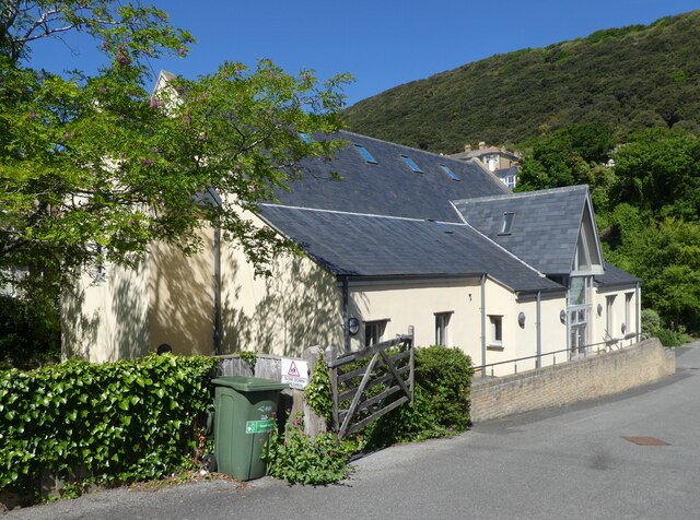
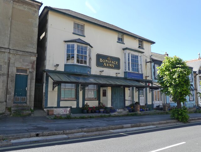
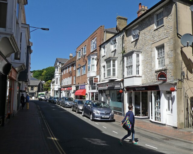
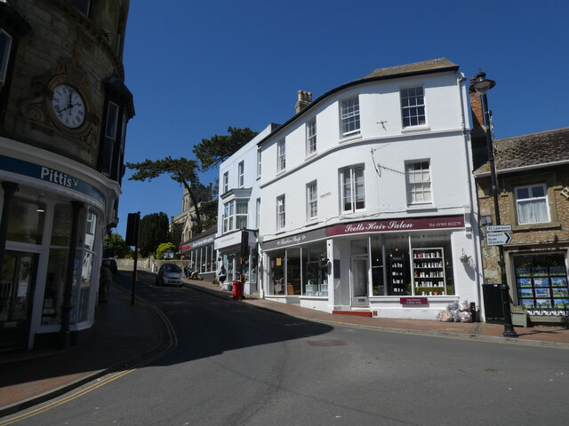
Western Cliffs Images
Images are sourced within 2km of 50.590722/-1.2173856 or Grid Reference SZ5577. Thanks to Geograph Open Source API. All images are credited.

Western Cliffs is located at Grid Ref: SZ5577 (Lat: 50.590722, Lng: -1.2173856)
Unitary Authority: Isle of Wight
Police Authority: Hampshire
What 3 Words
///somewhere.onwards.timing. Near Ventnor, Isle of Wight
Nearby Locations
Related Wikis

Ventnor West railway station
Ventnor West railway station was in operation from 1900 to 1952 in Ventnor, Isle of Wight. == History == The station was opened on 1 June 1900 as the final...
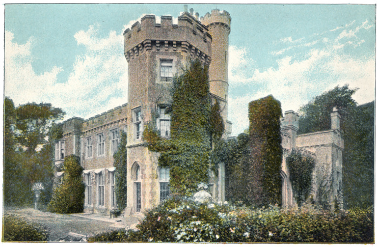
Steephill
Steephill is a hamlet near Ventnor, Isle of Wight, England, previously the location of a Victorian country estate with a castle-style mansion, Steephill...
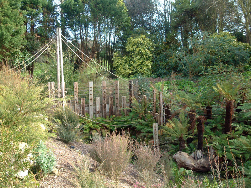
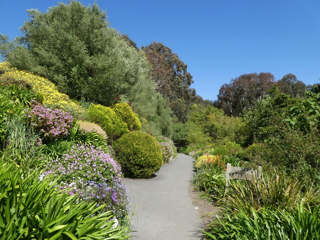
Ventnor Botanic Garden
Ventnor Botanic Garden is a botanic garden located in Ventnor, Isle of Wight. It was founded in 1970, by Sir Harold Hillier, and donated to the Isle of...
Rew Down
Rew Down is a 23.5-hectare biological Site of Special Scientific Interest and Local Nature Reserve located on the south-east edge of the Isle of Wight...

St Catherine's School, Ventnor
St Catherine's School, in Ventnor, on the Isle of Wight in the United Kingdom, is an independent non-maintained residential special school for children...
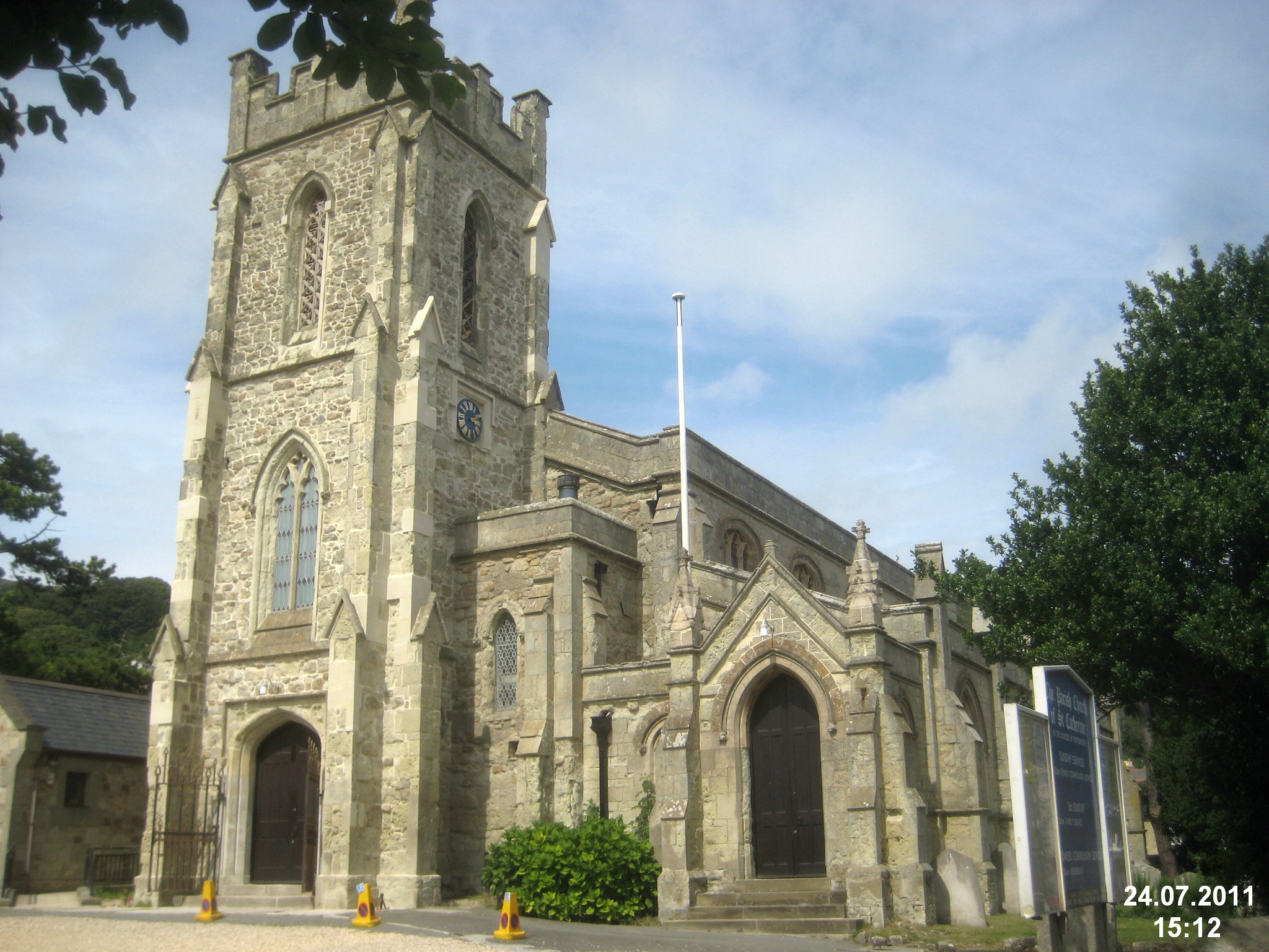
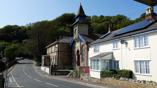
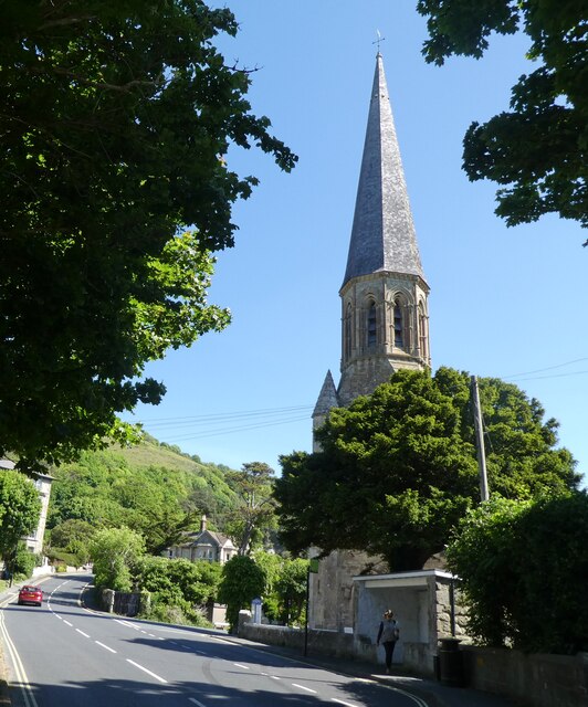
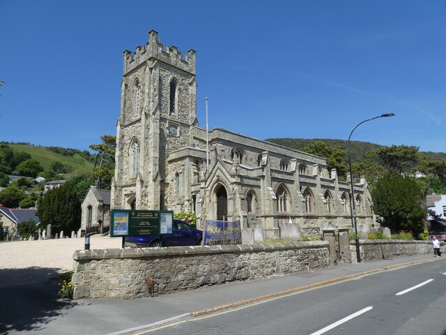
St Catherine's Church, Ventnor
St Catherine's, Ventnor is a parish church in the Church of England located in Ventnor, Isle of Wight. == History == The church dates from 1837 and was...
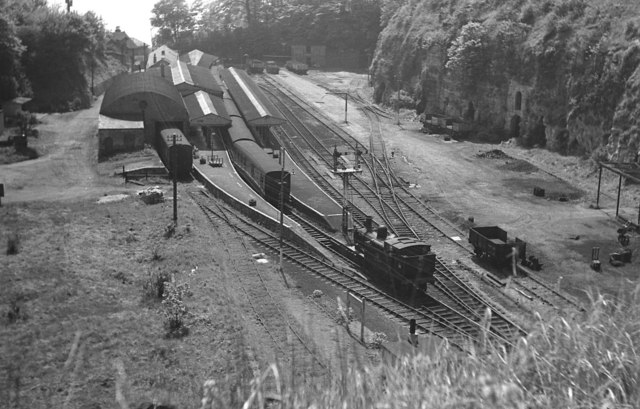
Ventnor railway station
Ventnor railway station was the terminus of the Isle of Wight Railway line from Ryde. == History == The station occupied a ledge 294 feet (90 m) above...

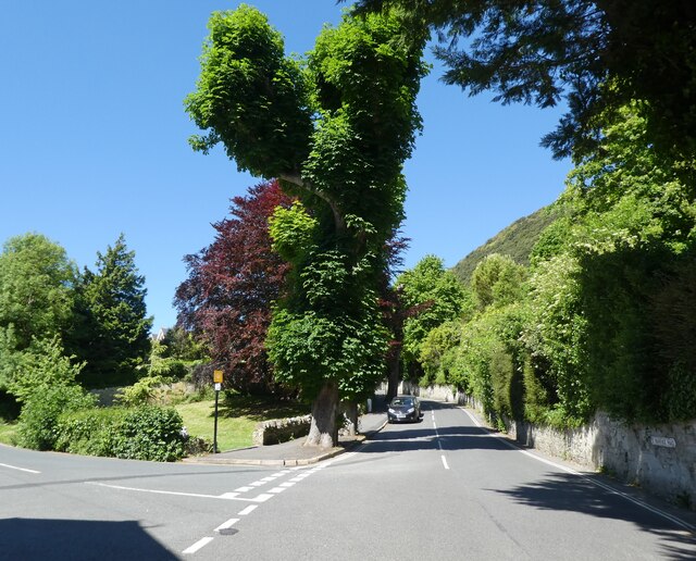
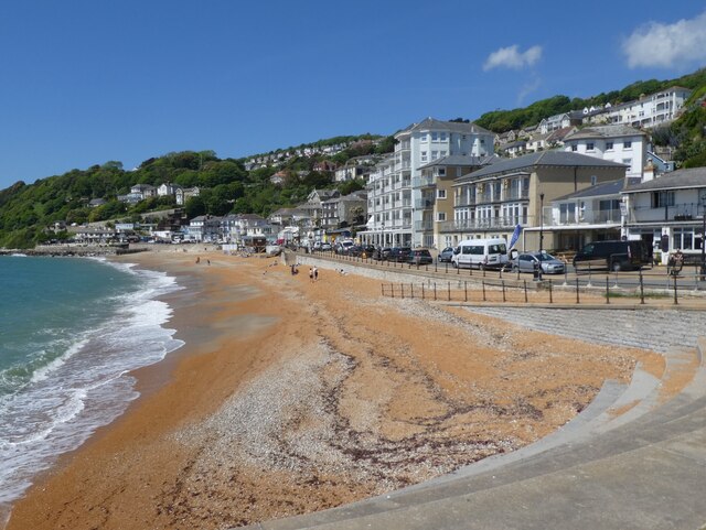
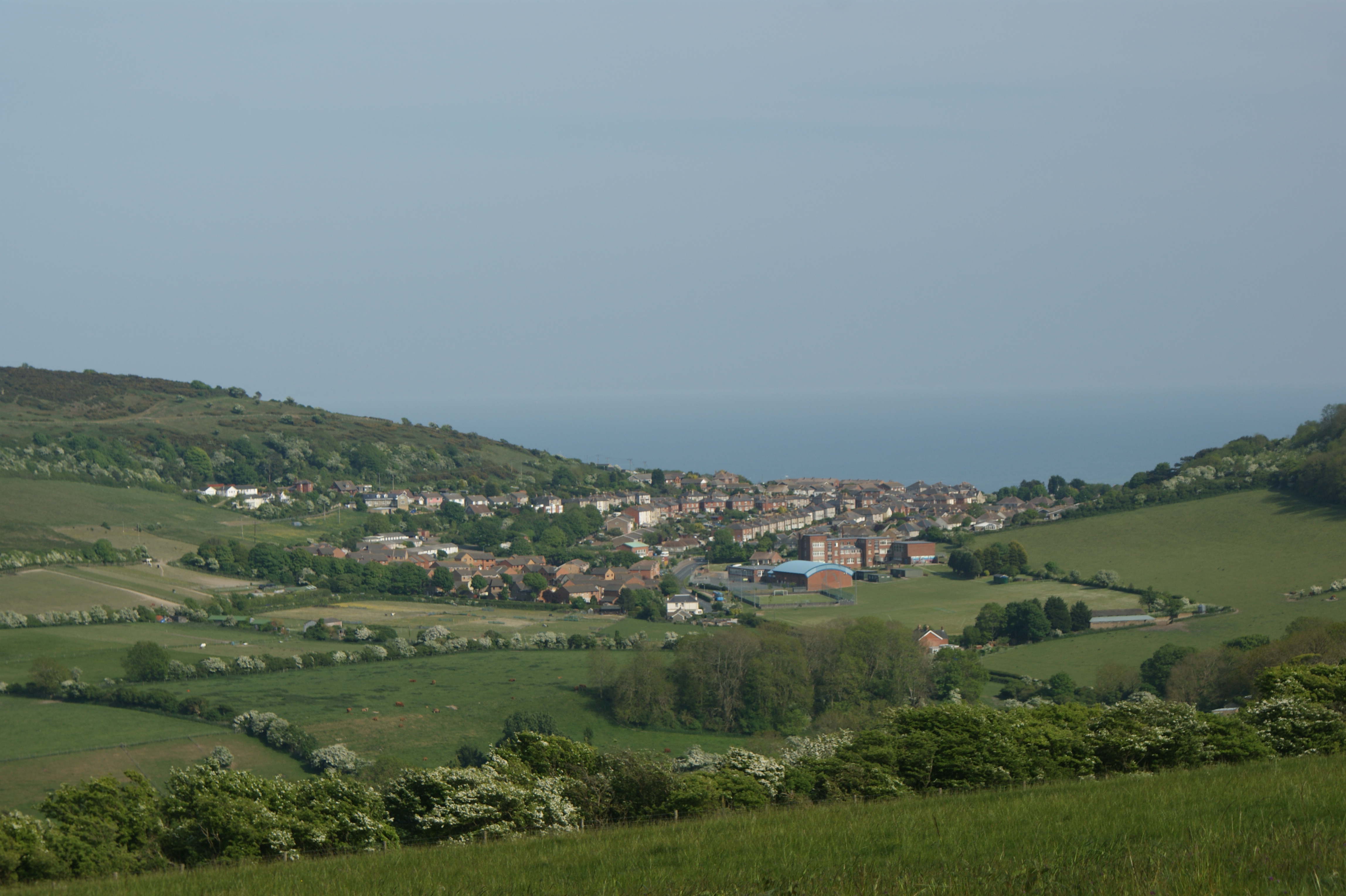
Ventnor
Ventnor () is a seaside resort town and civil parish established in the Victorian era on the southeast coast of the Isle of Wight, England, eleven miles...
Nearby Amenities
Located within 500m of 50.590722,-1.2173856Have you been to Western Cliffs?
Leave your review of Western Cliffs below (or comments, questions and feedback).