Steephill Cascade
Coastal Feature, Headland, Point in Hampshire
England
Steephill Cascade
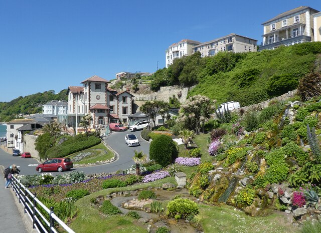
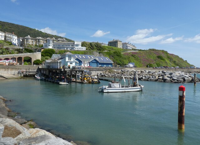
Steephill Cascade is a captivating coastal feature located in Hampshire, England. Situated on the southern coast of the Isle of Wight, it is known for its stunning natural beauty and mesmerizing views. This coastal feature is classified as a headland or point, as it extends out into the English Channel, forming a distinct land mass that juts into the sea.
The main attraction of Steephill Cascade is its picturesque waterfall, which cascades down a series of limestone steps into the ocean. This unique geological phenomenon is a result of the underlying geology, with water flowing down the steep gradient of the headland and eroding the limestone over time. The waterfall creates a soothing sound that harmonizes with the tranquil atmosphere of the area.
Surrounded by lush greenery and vibrant flora, Steephill Cascade offers a serene and idyllic setting for visitors to relax and unwind. The cascading waters create a mesmerizing display of natural beauty, particularly during high tide when the waves crash against the rocks, creating a spectacular sight.
The coastal feature is easily accessible via a footpath that winds through the surrounding woodlands, providing visitors with a pleasant and scenic walk. Along the way, there are several viewpoints that offer panoramic vistas of the coastline, making it a popular spot for nature enthusiasts and photographers.
Overall, Steephill Cascade in Hampshire is a captivating coastal feature that showcases the raw beauty of nature. With its stunning waterfall, lush surroundings, and breathtaking views, it is a must-visit destination for those seeking a peaceful and enchanting coastal experience.
If you have any feedback on the listing, please let us know in the comments section below.
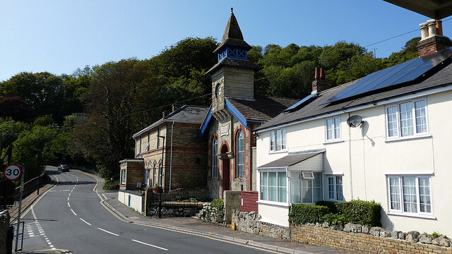
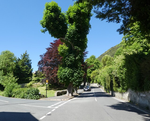
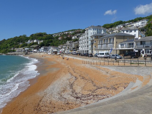
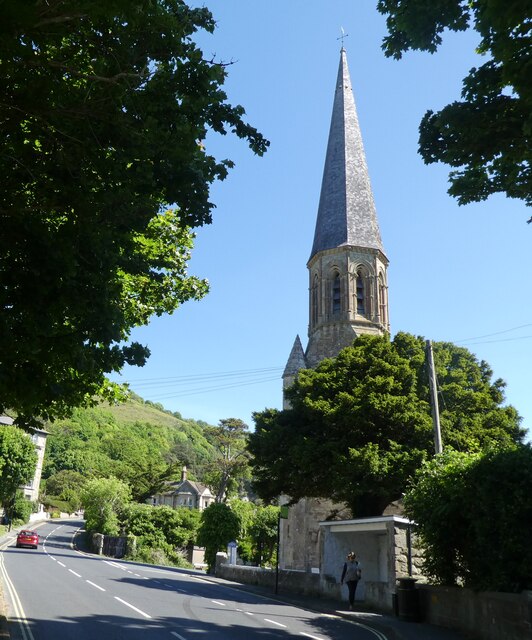
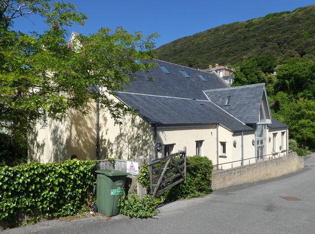
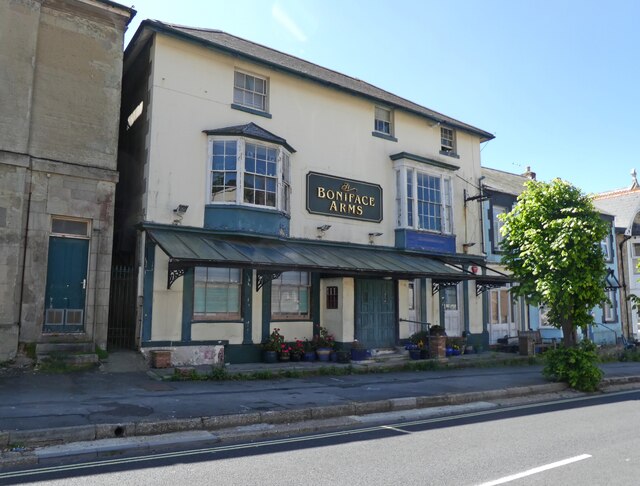
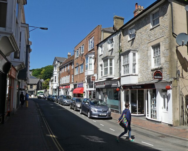
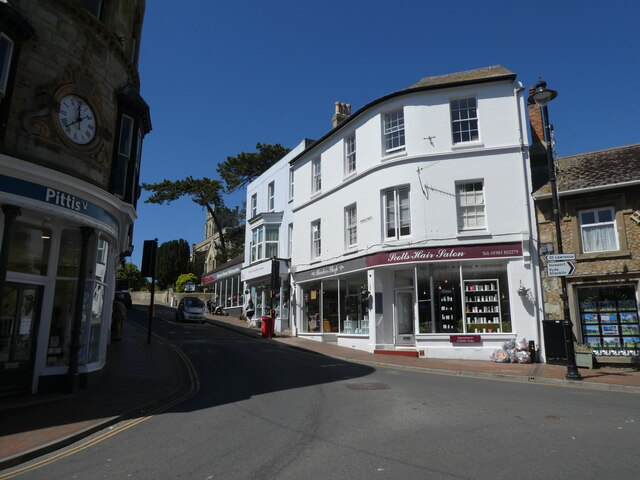
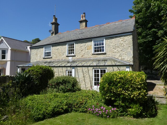
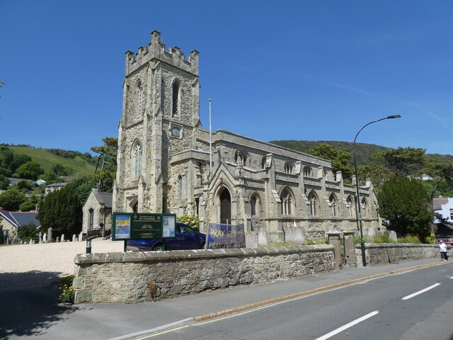
Steephill Cascade Images
Images are sourced within 2km of 50.591104/-1.2180715 or Grid Reference SZ5577. Thanks to Geograph Open Source API. All images are credited.

Steephill Cascade is located at Grid Ref: SZ5577 (Lat: 50.591104, Lng: -1.2180715)
Unitary Authority: Isle of Wight
Police Authority: Hampshire
What 3 Words
///stag.strutted.stream. Near Ventnor, Isle of Wight
Nearby Locations
Related Wikis

Ventnor West railway station
Ventnor West railway station was in operation from 1900 to 1952 in Ventnor, Isle of Wight. == History == The station was opened on 1 June 1900 as the final...
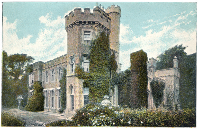
Steephill
Steephill is a hamlet near Ventnor, Isle of Wight, England, previously the location of a Victorian country estate with a castle-style mansion, Steephill...
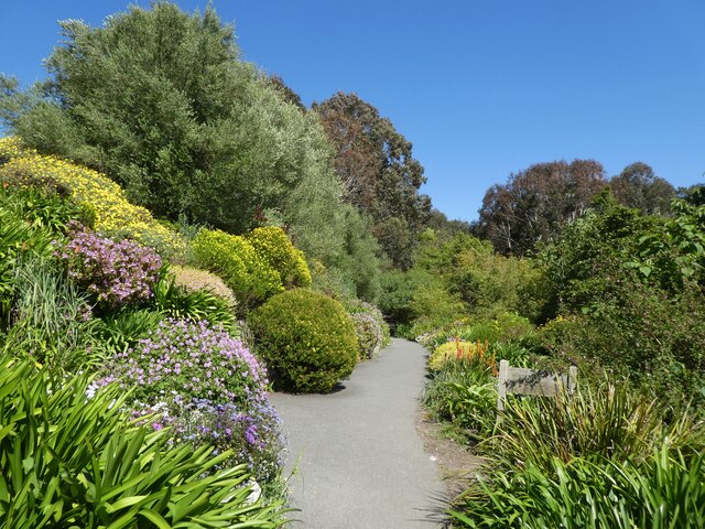
Ventnor Botanic Garden
Ventnor Botanic Garden is a botanic garden located in Ventnor, Isle of Wight. It was founded in 1970, by Sir Harold Hillier, and donated to the Isle of...
Rew Down
Rew Down is a 23.5-hectare biological Site of Special Scientific Interest and Local Nature Reserve located on the south-east edge of the Isle of Wight...
Nearby Amenities
Located within 500m of 50.591104,-1.2180715Have you been to Steephill Cascade?
Leave your review of Steephill Cascade below (or comments, questions and feedback).