The Undercliff
Cliff, Slope in Hampshire
England
The Undercliff
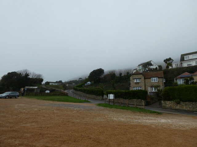
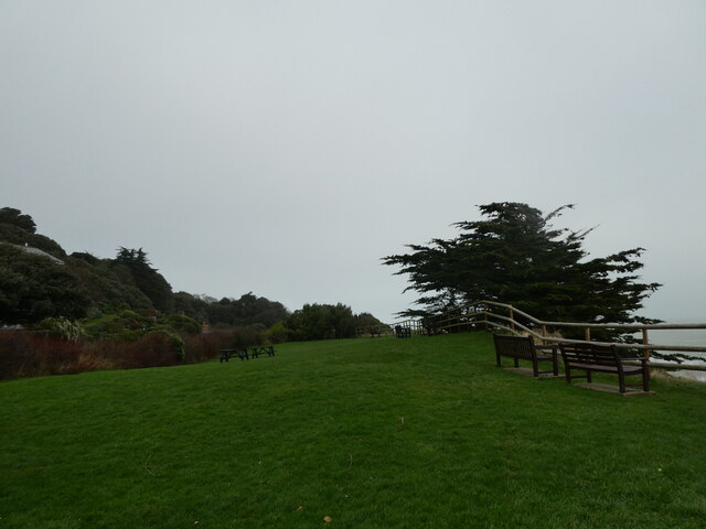
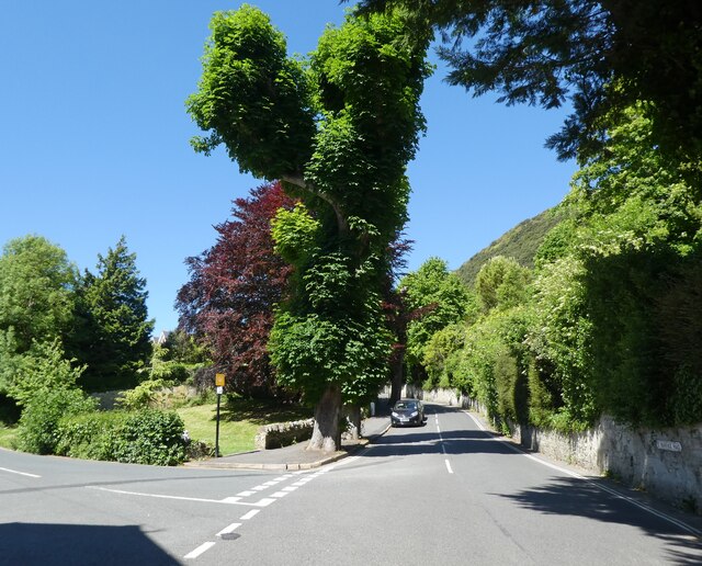
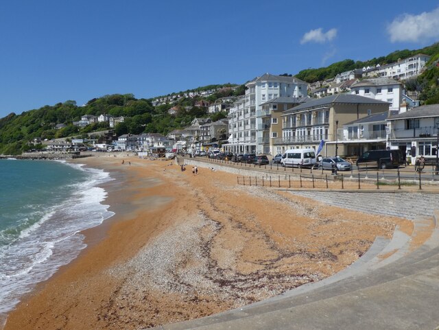
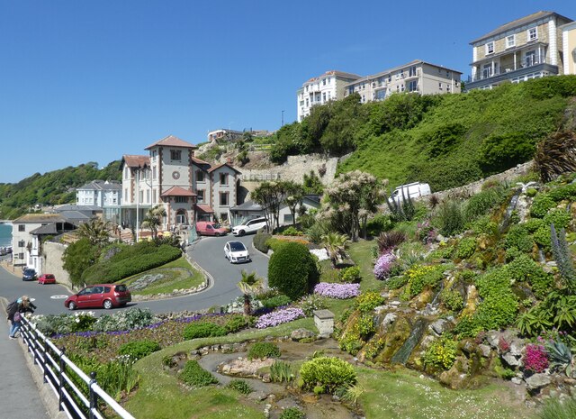
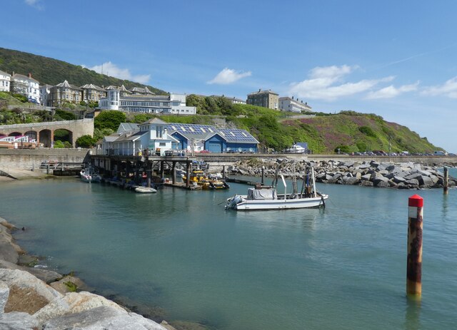
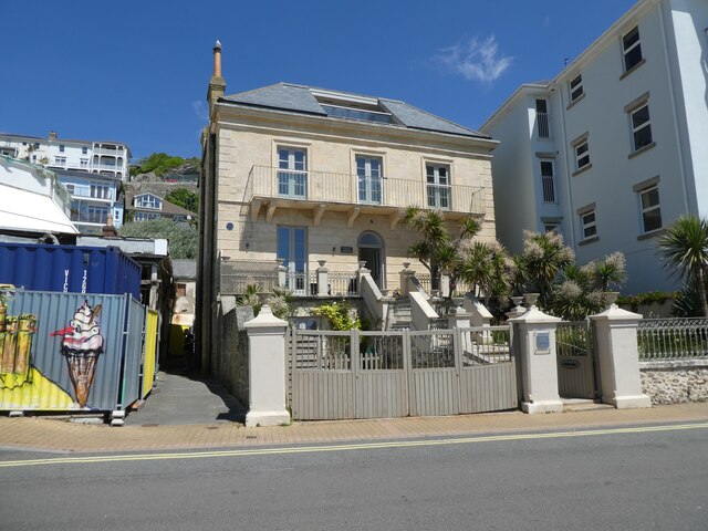
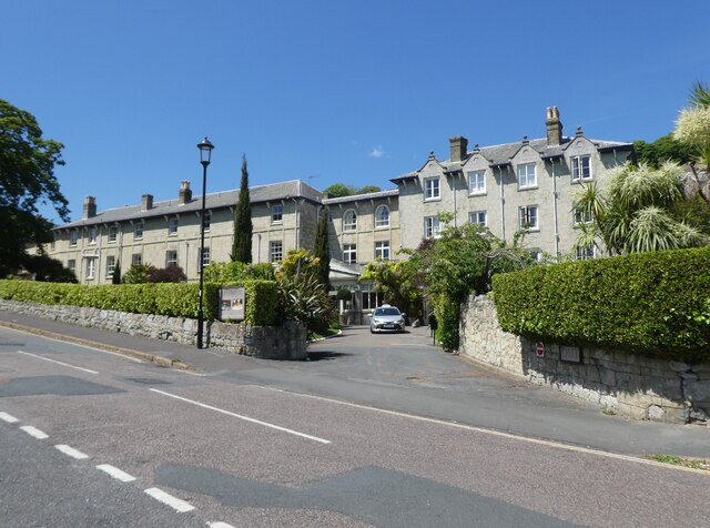
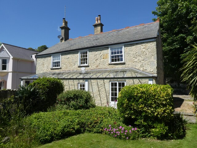
The Undercliff is a scenic and unique geological feature located in Hampshire, England. It stretches along the southern coast of the Isle of Wight, running from Niton to Bonchurch, spanning approximately 7 miles. This natural wonder is renowned for its dramatic cliffs and steep slopes, making it a popular destination for nature enthusiasts and hikers.
The Undercliff was formed as a result of a massive landslide in 1799, when a significant portion of the cliff collapsed, creating a rugged and picturesque landscape. This event resulted in a diverse and sheltered microclimate, which supports a variety of rare and exotic plant species. The area is known for its lush vegetation, including ferns, mosses, and wildflowers, which thrive in the sheltered environment.
The terrain of the Undercliff is rugged, with towering cliffs reaching up to 100 feet in height and steep slopes leading down to the shoreline. The cliffs are composed of layers of sandstone, chalk, and clay, displaying a stunning array of colors and textures. The slopes are covered in dense vegetation, providing a habitat for a wide range of wildlife, including birds, reptiles, and small mammals.
The Undercliff offers breathtaking views of the English Channel and the surrounding countryside. It is a haven for walkers and hikers, with a network of footpaths and trails that wind through the area, allowing visitors to explore the stunning natural beauty at their leisure. The tranquility and seclusion of the Undercliff make it a perfect escape for those seeking a peaceful and immersive experience in nature.
If you have any feedback on the listing, please let us know in the comments section below.
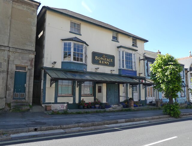
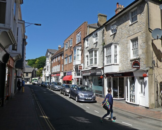
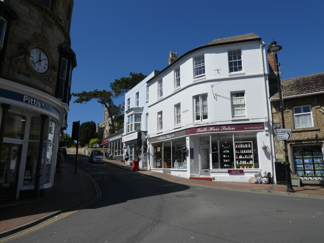
The Undercliff Images
Images are sourced within 2km of 50.592201/-1.2139846 or Grid Reference SZ5577. Thanks to Geograph Open Source API. All images are credited.

The Undercliff is located at Grid Ref: SZ5577 (Lat: 50.592201, Lng: -1.2139846)
Unitary Authority: Isle of Wight
Police Authority: Hampshire
What 3 Words
///paddle.drooling.boost. Near Ventnor, Isle of Wight
Nearby Locations
Related Wikis

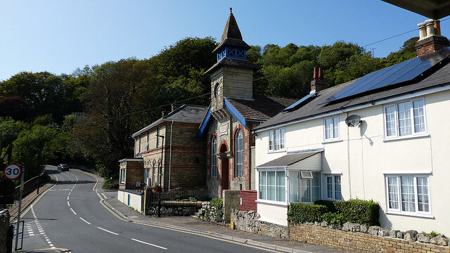
Ventnor West railway station
Ventnor West railway station was in operation from 1900 to 1952 in Ventnor, Isle of Wight. == History == The station was opened on 1 June 1900 as the final...

St Catherine's School, Ventnor
St Catherine's School, in Ventnor, on the Isle of Wight in the United Kingdom, is an independent non-maintained residential special school for children...
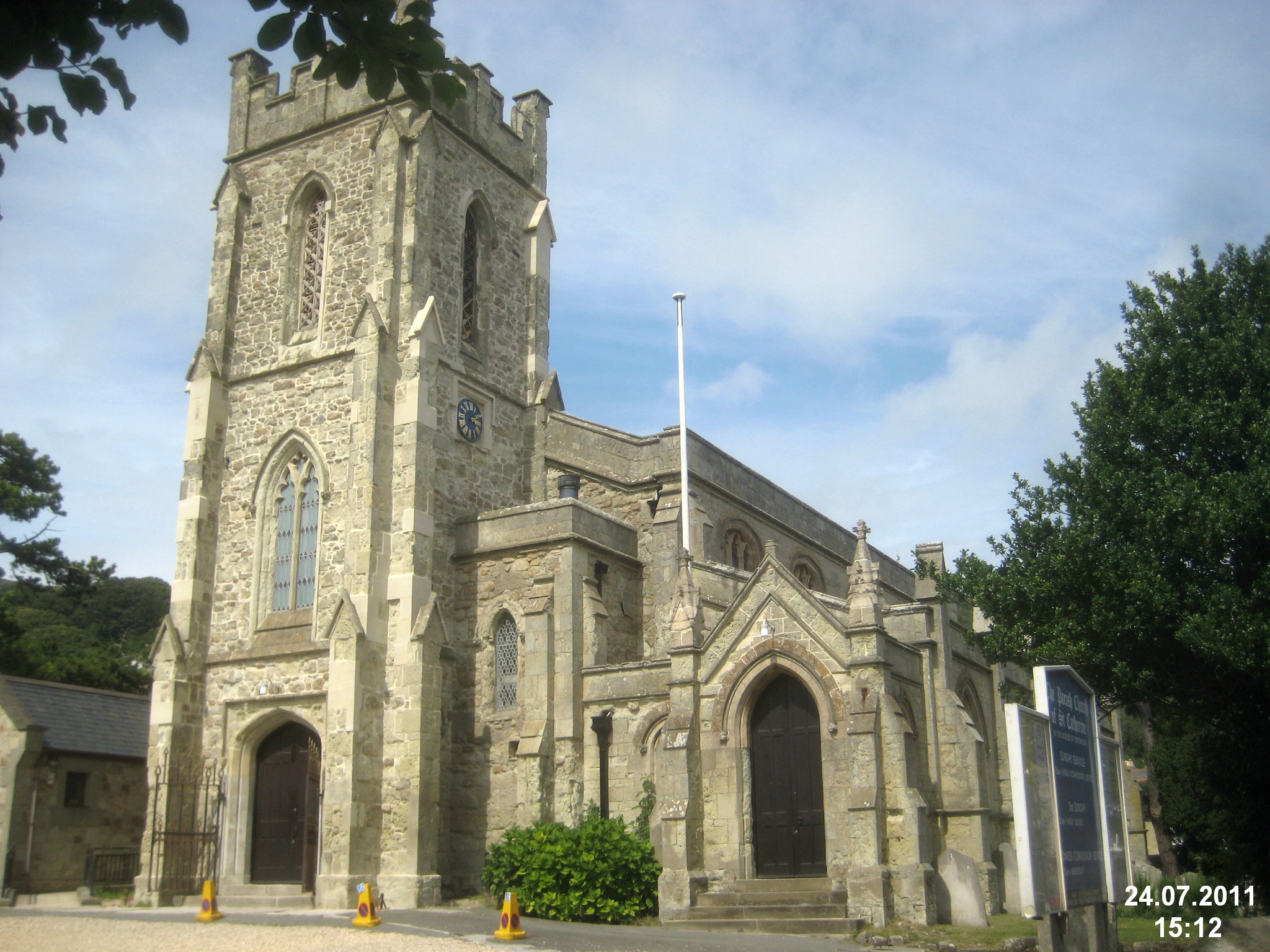
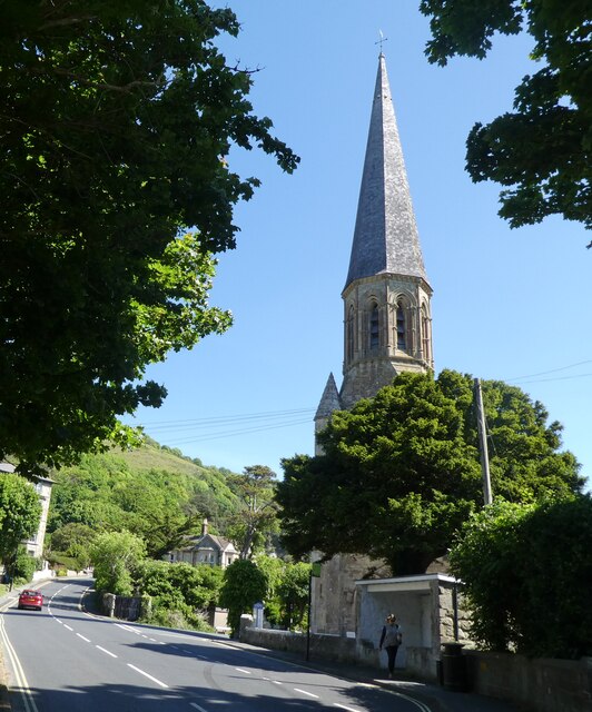
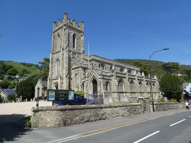
St Catherine's Church, Ventnor
St Catherine's, Ventnor is a parish church in the Church of England located in Ventnor, Isle of Wight. == History == The church dates from 1837 and was...
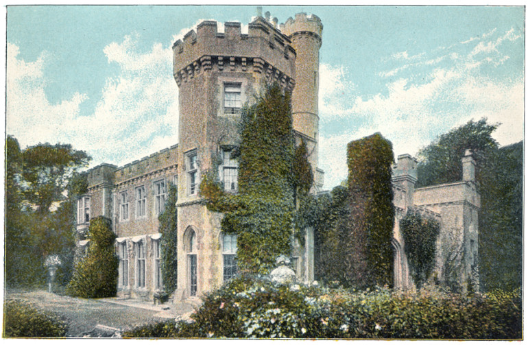
Steephill
Steephill is a hamlet near Ventnor, Isle of Wight, England, previously the location of a Victorian country estate with a castle-style mansion, Steephill...
Nearby Amenities
Located within 500m of 50.592201,-1.2139846Have you been to The Undercliff?
Leave your review of The Undercliff below (or comments, questions and feedback).