Doogers

Cliff, Slope in Shetland

Scotland

Doogers

MV Merete Chris at Gutcher quarry The Danish-registered ship, which is apparently a suction dredger, taking on rocks from the Gutcher quarry, using a grab on a crane on a vehicle which has been placed on the deck. There is not quay or pier here, the ship has just come as close inshore as it can.
MV Merete Chris at Gutcher quarry Credit: Mike Pennington

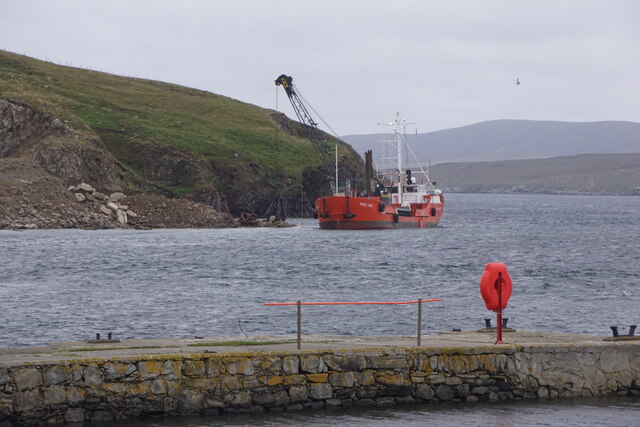
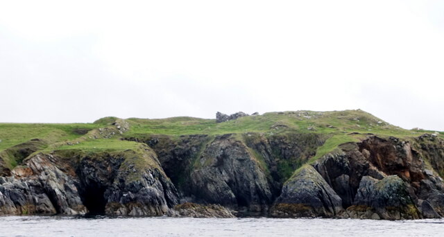
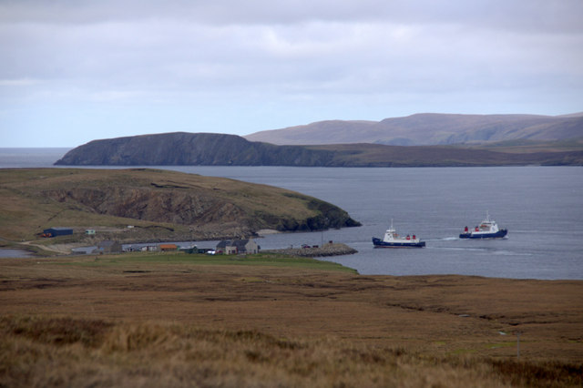
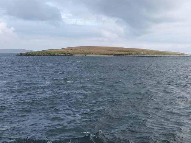
Doogers, Shetland, also known as Cliff or Slope, is a prominent geographical feature located in the Shetland Islands of Scotland. It is a stunning coastal area that offers breathtaking views and is a popular attraction for both locals and tourists alike.

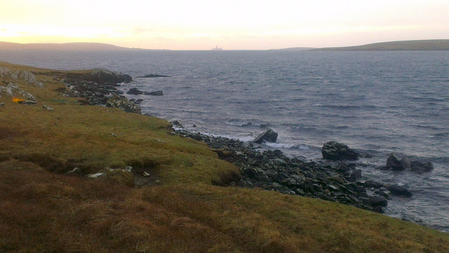
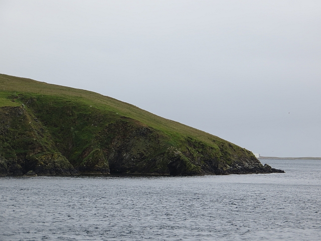
Doogers is characterized by its dramatic cliffs and slopes, which add to its unique charm. The cliffs, made of rugged rock formations, rise majestically from the sea, creating a striking contrast against the deep blue waters. The slopes are covered with lush green vegetation, adding beauty and tranquility to the surroundings.

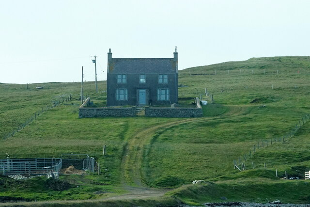
This area is a haven for outdoor enthusiasts and nature lovers. Hikers and climbers are drawn to the challenging terrain, as the cliffs and slopes provide an exciting opportunity for adventure and exploration. The views from the top are truly awe-inspiring, with panoramic vistas of the sea and the surrounding landscape.

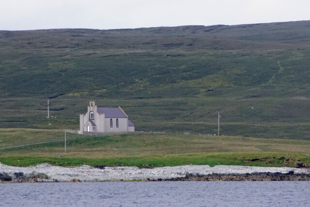
The coastal area of Doogers is also known for its rich biodiversity. The cliffs and slopes provide a habitat for various bird species, including puffins, guillemots, and fulmars. Birdwatchers flock to Doogers to catch a glimpse of these magnificent creatures in their natural habitat.

Moreover, Doogers is a great spot for photography enthusiasts, who can capture the stunning scenery and the interplay of light and shadows on the cliffs and slopes.

Overall, Doogers, Shetland, is a captivating destination that offers a blend of natural beauty, adventure, and serenity. Whether you are seeking a challenging hike, a peaceful retreat, or simply a chance to immerse yourself in nature, Doogers is sure to leave a lasting impression.

If you have any feedback on the listing, please let us know in the comments section below.

Doogers Images

Images are sourced within 2km of 60.689285/-0.98044288 or Grid Reference HP5501. Thanks to Geograph Open Source API. All images are credited.

MV Merete Chris at Gutcher quarry The Danish-registered ship, which is apparently a suction dredger, taking on rocks from the Gutcher quarry, using a grab on a crane on a vehicle which has been placed on the deck. There is not quay or pier here, the ship has just come as close inshore as it can.
MV Merete Chris at Gutcher quarry
The Danish-registered ship, which is apparently a suction dredger, taking on rocks from the Gutcher quarry, using a grab on a crane on a vehicle which has been placed on the deck. There is not quay or pier here, the ship has just come as close inshore as it can.
Ferncliff House, Gutcher
Tidal turbines awaiting installation, Belmont
Ness of Cullivoe from the sea
Cullivoe Kirk from the sea
Hoga Ness Brough, Belmont, from the sea
Belmont, Unst This was taken from the Gutcher-Belmont ferry as we come into port at Belmont, Unst, Shetland. We are on the Wick of Belmont and this is Belmont House, a category A-listed Georgian country house which was built in 1775 by Shetland landowner Thomas Mouat of Garth. Restored to its former glory between 1996 and 2010, it is now a private residence though it has been let out occasionally as a venue for cultural events and B&B accommodation.
Belmont, Unst
This was taken from the Gutcher-Belmont ferry as we come into port at Belmont, Unst, Shetland. We are on the Wick of Belmont and this is Belmont House, a category A-listed Georgian country house which was built in 1775 by Shetland landowner Thomas Mouat of Garth. Restored to its former glory between 1996 and 2010, it is now a private residence though it has been let out occasionally as a venue for cultural events and B&B accommodation.
Fishing vessel passing the Head of Gutcher A fishing boat, LK 75 Venturous, heading south through Bluemull Sound.
Fishing vessel passing the Head of Gutcher
A fishing boat, LK 75 Venturous, heading south through Bluemull Sound.
Wick of Gutcher
Wick of Gutcher
Ferries at Gutcher MV Bigga and MV Geira exchanging positions at Gutcher ferry terminal on Yell. In the background is Unst, with the headland of Blue Mull and the ridge of Valla Field.
Ferries at Gutcher
MV Bigga and MV Geira exchanging positions at Gutcher ferry terminal on Yell. In the background is Unst, with the headland of Blue Mull and the ridge of Valla Field.
North end of Linga Uninhabited island at the south end of Bluemull Sound between Yell and Unst (but nearer to Yell). North Booth (the northernmost point) to the left; a small hut to the right.
North end of Linga
Uninhabited island at the south end of Bluemull Sound between Yell and Unst (but nearer to Yell). North Booth (the northernmost point) to the left; a small hut to the right.
Quarry on the north shore of the Wick of Gutcher
Scorda Skerry, Head of Mula, Belmont The drill ship Stena Carron is on the horizon.
Scorda Skerry, Head of Mula, Belmont
The drill ship Stena Carron is on the horizon.
Noust of Mula, between Belmont and Heogland
Breakwater, Gutcher Taken from a departing ferry for Belmont, Unst.
Breakwater, Gutcher
Taken from a departing ferry for Belmont, Unst.
Head of Gutcher The western, Yell, shore of Bluemull Sound.
Head of Gutcher
The western, Yell, shore of Bluemull Sound.
Bluemull Sound View towards Fetlar past the long low island of Linga.
Bluemull Sound
View towards Fetlar past the long low island of Linga.
Hut, Linga A hut amongst the remains of an older enclosure at the northern end of the long island.
Hut, Linga
A hut amongst the remains of an older enclosure at the northern end of the long island.
Show me another place!

Doogers is located at Grid Ref: HP5501 (Lat: 60.689285, Lng: -0.98044288)

Unitary Authority: Shetland Islands

Police Authority: Highlands and Islands

What 3 Words

///asterisk.beaker.taped. Near Gutcher, Shetland Islands

Related Wikis

Bluemull Sound

Bluemull Sound is the strait between Unst and Yell in Shetland's North Isles. A ferry service crosses it regularly. Cullivoe is on the Yell side, and the...

Belmont House, Shetland

Belmont House is a neo classical Georgian Country House Estate on the island of Unst, the most northerly of the Shetland Islands, [United Kingdom] and...

Belmont, Shetland

Belmont is a settlement and ferry terminal in southern Unst in the Shetland Islands. The ferry crosses from here to Gutcher in Yell and to Hamars Ness...
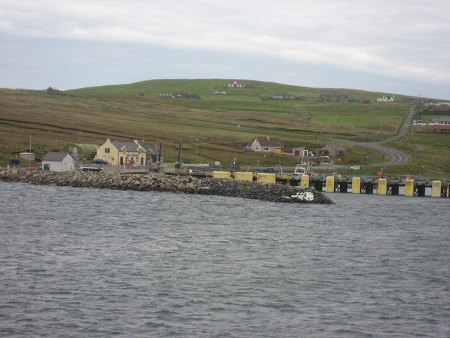
Gutcher

Gutcher is a settlement on the northeast coast of Yell in the Shetland islands. From here, rollon/roll off ferry services to Belmont on Unst and Hamars...

Cullivoe

Cullivoe (Old Norse: Kollavágr - Bay of Kolli), is a village on Yell in the Shetland Islands. It is in the north east of the island, near Bluemull Sound...

Linga, Bluemull Sound

Linga is a very small uninhabited island in the Bluemull Sound, Shetland, Scotland. It is one of many islands in Shetland called Linga. It has an area...

North Isles

The North Isles are the northern islands of the Shetland Islands, Scotland. The main islands in the group are Yell, Unst and Fetlar. Sometimes the islands...

St Olaf's Church, Unst

St Olaf's Church, Unst is a ruined medieval church located on the island of Unst, in Shetland, Scotland, UK. The church was built in the Celtic style,...

Nearby Amenities

Located within 500m of 60.689285,-0.98044288
Power: pole
Lat/Long: 60.6915263/-0.9728276
Power: pole
Lat/Long: 60.6917916/-0.9735867
Location Transition: yes
Power: pole
Lat/Long: 60.6922373/-0.9748406
The data included in this document is from www.openstreetmap.org. The data is made available under ODbL.

Have you been to Doogers?

Leave your review of Doogers below (or comments, questions and feedback).