Kirn of Mostracks

Coastal Feature, Headland, Point in Shetland

Scotland

Kirn of Mostracks

Tidal turbines awaiting installation, Belmont
Tidal turbines awaiting installation, Belmont Credit: Mike Pennington

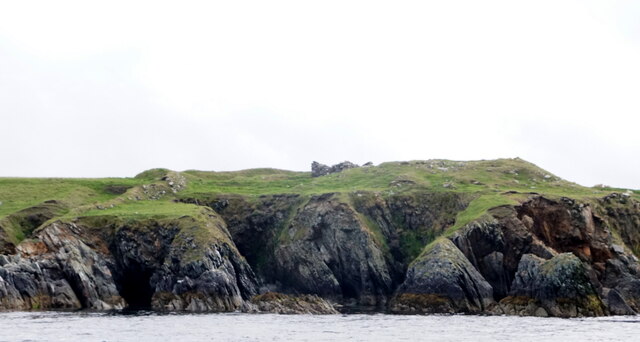
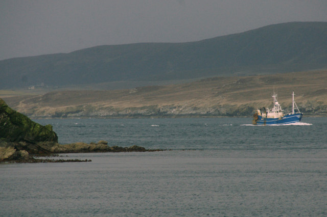
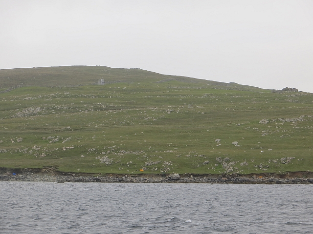
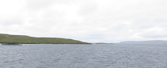
Kirn of Mostracks is a prominent coastal feature located in the Shetland Islands, an archipelago off the north coast of Scotland. Situated on the western side of the mainland, Kirn of Mostracks is a headland that extends into the North Atlantic Ocean, forming a distinctive point along the coastline.

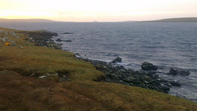
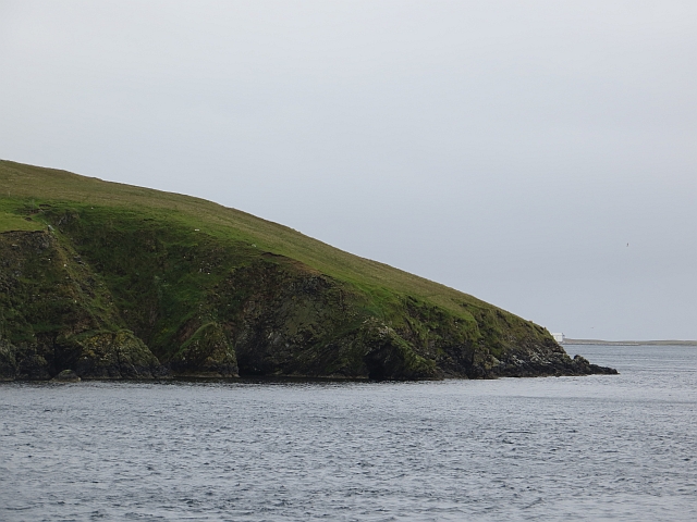
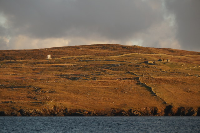
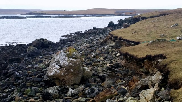
The headland is characterized by its rugged and rocky terrain, comprised of ancient volcanic rocks that have been shaped by the relentless forces of the ocean. The cliffs that line Kirn of Mostracks are steep and imposing, rising several meters above the crashing waves below. These cliffs provide a dramatic backdrop and offer breathtaking panoramic views of the surrounding seascape.

Kirn of Mostracks is also known for its diverse wildlife. The surrounding waters are teeming with marine life, including seals, dolphins, and various species of seabirds that nest along the cliffs. The headland itself is covered in lush vegetation, with hardy plants such as heather and gorse clinging to the rocky slopes.

Due to its exposed location, Kirn of Mostracks is subject to the full force of the Atlantic weather systems, resulting in strong winds and rough seas. This makes it a popular spot for outdoor enthusiasts, who come to experience the exhilaration of nature's power and to engage in activities such as birdwatching, hiking, and photography.

Overall, Kirn of Mostracks is a captivating coastal feature that showcases the rugged beauty and natural diversity of the Shetland Islands.

If you have any feedback on the listing, please let us know in the comments section below.

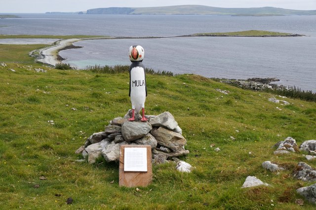
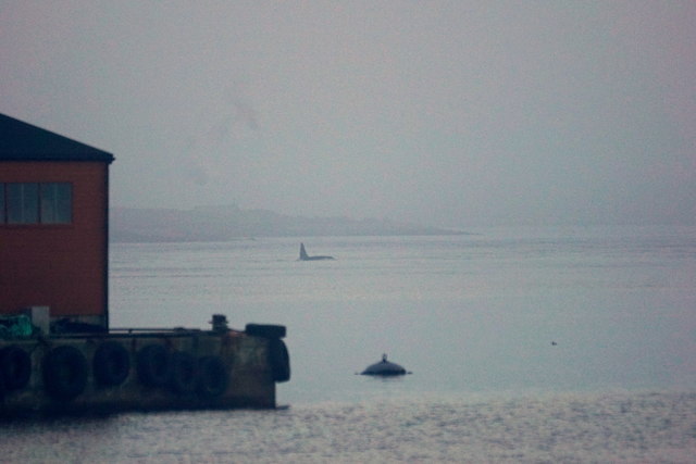
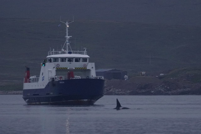
Kirn of Mostracks Images

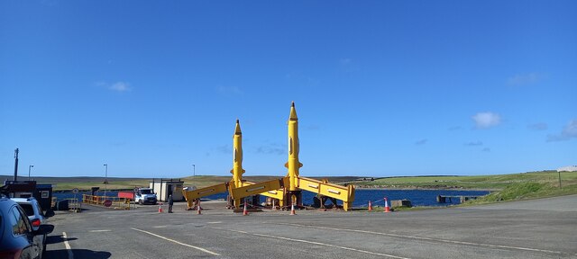
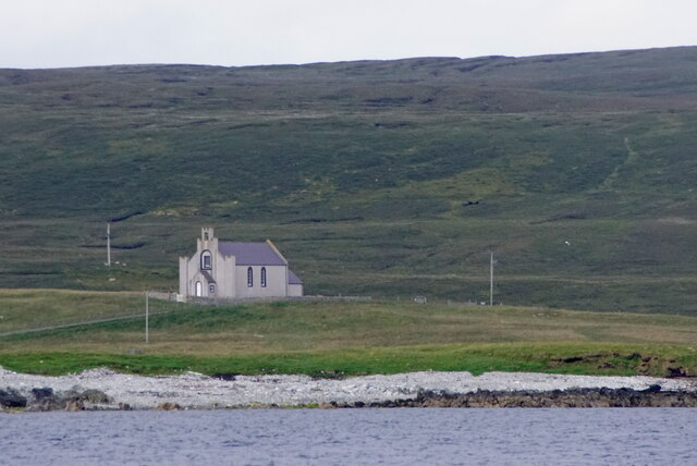
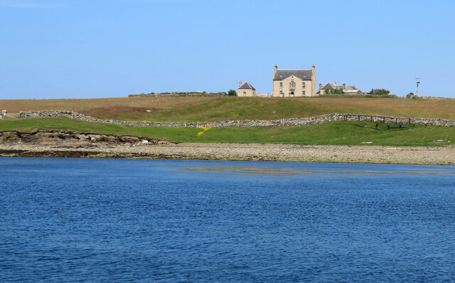
Images are sourced within 2km of 60.691777/-0.97761707 or Grid Reference HP5501. Thanks to Geograph Open Source API. All images are credited.

Tidal turbines awaiting installation, Belmont
Ness of Cullivoe from the sea
Cullivoe Kirk from the sea
Hoga Ness Brough, Belmont, from the sea
Belmont, Unst This was taken from the Gutcher-Belmont ferry as we come into port at Belmont, Unst, Shetland. We are on the Wick of Belmont and this is Belmont House, a category A-listed Georgian country house which was built in 1775 by Shetland landowner Thomas Mouat of Garth. Restored to its former glory between 1996 and 2010, it is now a private residence though it has been let out occasionally as a venue for cultural events and B&B accommodation.
Belmont, Unst
This was taken from the Gutcher-Belmont ferry as we come into port at Belmont, Unst, Shetland. We are on the Wick of Belmont and this is Belmont House, a category A-listed Georgian country house which was built in 1775 by Shetland landowner Thomas Mouat of Garth. Restored to its former glory between 1996 and 2010, it is now a private residence though it has been let out occasionally as a venue for cultural events and B&B accommodation.
Fishing vessel passing the Head of Gutcher A fishing boat, LK 75 Venturous, heading south through Bluemull Sound.
Fishing vessel passing the Head of Gutcher
A fishing boat, LK 75 Venturous, heading south through Bluemull Sound.
Scorda Skerry, Head of Mula, Belmont The drill ship Stena Carron is on the horizon.
Scorda Skerry, Head of Mula, Belmont
The drill ship Stena Carron is on the horizon.
Head of Gutcher The western, Yell, shore of Bluemull Sound.
Head of Gutcher
The western, Yell, shore of Bluemull Sound.
Salmon cages off Head of Mula Taken on the approach to Belmont.
Salmon cages off Head of Mula
Taken on the approach to Belmont.
Head of Mula Rocky ground on the southern end of Unst.
Head of Mula
Rocky ground on the southern end of Unst.
Head of Mula View past the headland to some fish cages and Fetlar from the ferry between Yell and Unst.  A ship is loading or unloading at the cages <a href="https://www.geograph.org.uk/photo/3824392">HU5699 : Head of  Mula  fish farming activity</a>
Head of Mula
View past the headland to some fish cages and Fetlar from the ferry between Yell and Unst. A ship is loading or unloading at the cages HU5699 : Head of Mula fish farming activity
Head of Mula from the sea Taken in low winter light from a ferry on the way to Fetlar. The Head of Mula is the nearest stretch of coastline. On the hillside are the ruined crofthouses of Mula and the Head of Mula light.
Head of Mula from the sea
Taken in low winter light from a ferry on the way to Fetlar. The Head of Mula is the nearest stretch of coastline. On the hillside are the ruined crofthouses of Mula and the Head of Mula light.
Coastline between Belmont and Mula Head
The Unstfest Puffin 'Mula' at Belmont This Puffin is at the former crofthouse of Mula, which was occupied until about 1871. There is a fine view over the Holm of Heogland to Fetlar in the background.
The Unstfest Puffin 'Mula' at Belmont
This Puffin is at the former crofthouse of Mula, which was occupied until about 1871. There is a fine view over the Holm of Heogland to Fetlar in the background.
Killer Whale (Orca orcinus) in Bluemull Sound A huge male, known as Busta.
Killer Whale (Orca orcinus) in Bluemull Sound
A huge male, known as Busta.
Killer Whale (Orcinus orca), passing the ferry MV Bigga in Bluemull Sound
Head of Mula With yet another of the many salmon cages in the background.
Head of Mula
With yet another of the many salmon cages in the background.
Head of Mula from the sea The salmon cages and floating store are in the foreground, and the white shape of the relatively new Mula light can be seen on the shoulder of Gallow Hill.
Head of Mula from the sea
The salmon cages and floating store are in the foreground, and the white shape of the relatively new Mula light can be seen on the shoulder of Gallow Hill.
Show me another place!

Kirn of Mostracks is located at Grid Ref: HP5501 (Lat: 60.691777, Lng: -0.97761707)

Unitary Authority: Shetland Islands

Police Authority: Highlands and Islands

What 3 Words

///months.wrong.every. Near Gutcher, Shetland Islands

Related Wikis

Belmont House, Shetland

Belmont House is a neo classical Georgian Country House Estate on the island of Unst, the most northerly of the Shetland Islands, [United Kingdom] and...

Bluemull Sound

Bluemull Sound is the strait between Unst and Yell in Shetland's North Isles. A ferry service crosses it regularly. Cullivoe is on the Yell side, and the...

Belmont, Shetland

Belmont is a settlement and ferry terminal in southern Unst in the Shetland Islands. The ferry crosses from here to Gutcher in Yell and to Hamars Ness...

Cullivoe

Cullivoe (Old Norse: Kollavágr - Bay of Kolli), is a village on Yell in the Shetland Islands. It is in the north east of the island, near Bluemull Sound...

Nearby Amenities

Located within 500m of 60.691777,-0.97761707
Power: pole
Lat/Long: 60.6913609/-0.9710332
Power: pole
Lat/Long: 60.6915263/-0.9728276
Power: pole
Lat/Long: 60.6912112/-0.9693099
Power: pole
Lat/Long: 60.6917916/-0.9735867
Location Transition: yes
Power: pole
Lat/Long: 60.6922373/-0.9748406
Marker: cable
Lat/Long: 60.6929217/-0.9746477
The data included in this document is from www.openstreetmap.org. The data is made available under ODbL.

Have you been to Kirn of Mostracks?

Leave your review of Kirn of Mostracks below (or comments, questions and feedback).