Turfa Geo
Coastal Feature, Headland, Point in Shetland
Scotland
Turfa Geo
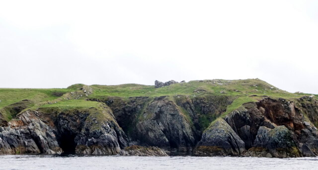
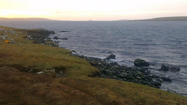
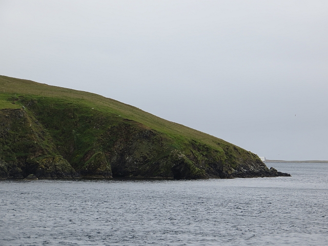
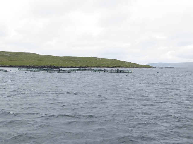
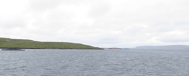
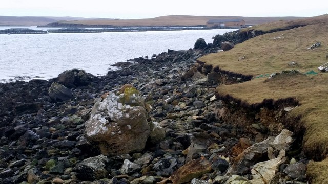
Turfa Geo is a prominent coastal feature located in the Shetland Islands, Scotland. Situated on the western coast of the island, it is classified as a headland or point due to its elongated and protruding shape into the North Atlantic Ocean.
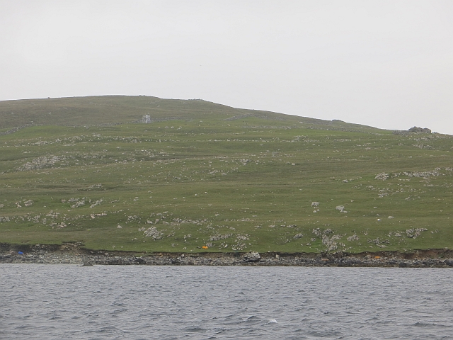
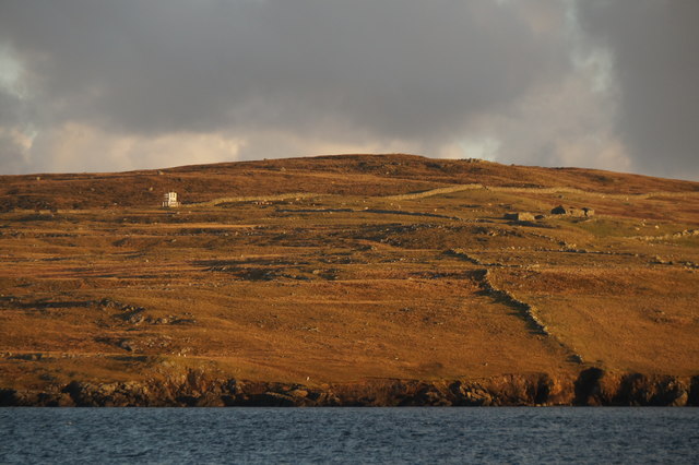
Covered in lush green vegetation, Turfa Geo stands as a striking natural landmark in the region. The headland is formed by a combination of rugged cliffs and rocky outcrops, which are primarily composed of sedimentary rocks such as sandstone and shale. These geological formations have been shaped and eroded over millions of years by the relentless force of the crashing waves.
At low tide, a small sandy beach is revealed, offering a picturesque spot for visitors to enjoy the stunning coastal scenery. The beach is dotted with pebbles and occasionally harbors interesting rock pools, providing an opportunity for nature enthusiasts to explore the marine life that inhabits the area.
Turfa Geo is also known for its rich birdlife. The headland is a haven for various seabird species, including puffins, fulmars, and guillemots. These birds nest in the cliffs during the breeding season, creating a vibrant and bustling colony.
The area surrounding Turfa Geo is a popular destination for hikers and nature lovers. A network of walking trails allows visitors to traverse the headland and experience its awe-inspiring views. Additionally, the nearby coastal waters offer excellent opportunities for sea kayaking and fishing.
Overall, Turfa Geo is a captivating and ecologically diverse coastal feature, attracting both locals and tourists alike with its breathtaking beauty and abundant wildlife.
If you have any feedback on the listing, please let us know in the comments section below.
Turfa Geo Images
Images are sourced within 2km of 60.691011/-0.97844712 or Grid Reference HP5501. Thanks to Geograph Open Source API. All images are credited.

Turfa Geo is located at Grid Ref: HP5501 (Lat: 60.691011, Lng: -0.97844712)
Unitary Authority: Shetland Islands
Police Authority: Highlands and Islands
What 3 Words
///compliant.zinc.grudges. Near Gutcher, Shetland Islands
Nearby Locations
Related Wikis

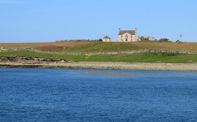
Belmont House, Shetland
Belmont House is a neo classical Georgian Country House Estate on the island of Unst, the most northerly of the Shetland Islands, [United Kingdom] and...

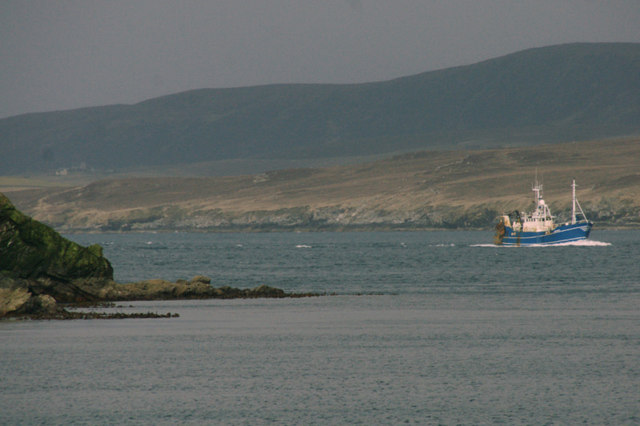
Bluemull Sound
Bluemull Sound is the strait between Unst and Yell in Shetland's North Isles. A ferry service crosses it regularly. Cullivoe is on the Yell side, and the...
Belmont, Shetland
Belmont is a settlement and ferry terminal in southern Unst in the Shetland Islands. The ferry crosses from here to Gutcher in Yell and to Hamars Ness...

Cullivoe
Cullivoe (Old Norse: Kollavágr - Bay of Kolli), is a village on Yell in the Shetland Islands. It is in the north east of the island, near Bluemull Sound...

Gutcher
Gutcher is a settlement on the northeast coast of Yell in the Shetland islands. From here, rollon/roll off ferry services to Belmont on Unst and Hamars...

Linga, Bluemull Sound
Linga is a very small uninhabited island in the Bluemull Sound, Shetland, Scotland. It is one of many islands in Shetland called Linga. It has an area...

St Olaf's Church, Unst
St Olaf's Church, Unst is a ruined medieval church located on the island of Unst, in Shetland, Scotland, UK. The church was built in the Celtic style,...

North Isles
The North Isles are the northern islands of the Shetland Islands, Scotland. The main islands in the group are Yell, Unst and Fetlar. Sometimes the islands...
Nearby Amenities
Located within 500m of 60.691011,-0.97844712Have you been to Turfa Geo?
Leave your review of Turfa Geo below (or comments, questions and feedback).