Breiwick Point
Coastal Feature, Headland, Point in Shetland
Scotland
Breiwick Point

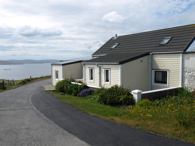
Breiwick Point is a prominent coastal feature located in the Shetland Islands, an archipelago off the northeastern coast of Scotland. It is classified as a headland and serves as the southeastern boundary of the bustling town of Lerwick.
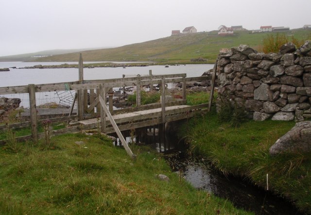
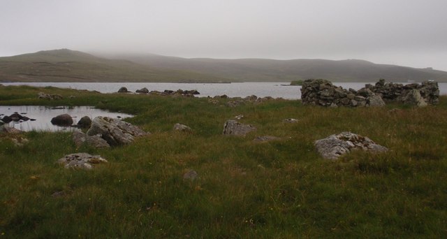
The point is known for its breathtaking natural beauty and commanding views of the surrounding coastline. It juts out into the North Sea, offering a panoramic vista of the shimmering waters and the rugged cliffs that stretch along the nearby shoreline. The exposed position of Breiwick Point makes it susceptible to the strong winds and rough seas typical of the region, creating a dramatic and awe-inspiring atmosphere.
At the tip of the headland, there is a small lighthouse that serves as a navigational aid for ships entering and leaving Lerwick Harbor. The lighthouse, with its distinctive red and white stripes, adds to the picturesque charm of the point and is a popular subject for photographers and artists.
Breiwick Point is also significant from a historical perspective. It is believed to have been a strategic location for ancient settlements, and archaeological evidence suggests that it has been inhabited since prehistoric times. Ruins of a broch, a circular stone tower, can still be seen on the headland, providing insight into the island's rich past.
Today, Breiwick Point attracts visitors who come to admire its natural splendor, explore the ruins, and soak in the maritime heritage of the Shetland Islands. It is a must-visit destination for nature enthusiasts, history buffs, and anyone seeking a tranquil escape amidst stunning coastal landscapes.
If you have any feedback on the listing, please let us know in the comments section below.
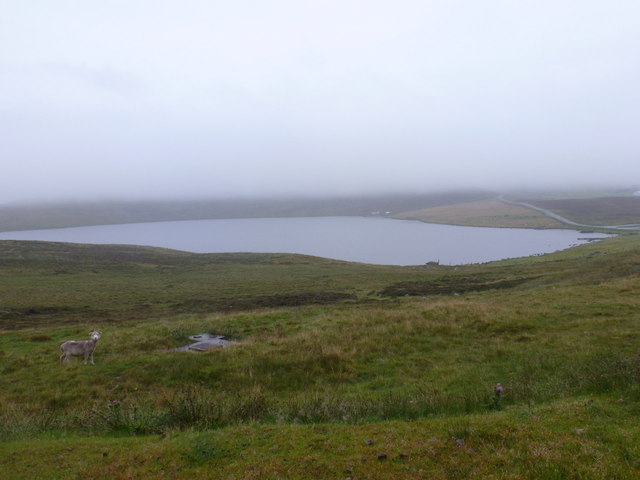
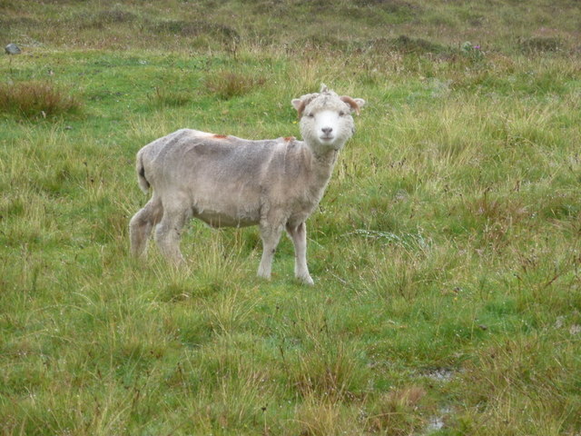
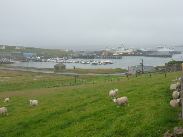
Breiwick Point Images
Images are sourced within 2km of 60.328509/-0.9983755 or Grid Reference HU5560. Thanks to Geograph Open Source API. All images are credited.


Breiwick Point is located at Grid Ref: HU5560 (Lat: 60.328509, Lng: -0.9983755)
Unitary Authority: Shetland Islands
Police Authority: Highlands and Islands
What 3 Words
///inhabited.manliness.spotted. Near Symbister, Shetland Islands
Nearby Locations
Related Wikis

Breiwick Burn
Breiwick Burn is a burn (stream) in southeastern Whalsay, Shetland Islands, Scotland. The source of the stream is in the Ward of Clette, to the northeast...

Whalsay
Whalsay (Scots: Whalsa; Old Norse: Hvalsey or Hvals-øy, meaning 'Whale Island') is the sixth largest of the Shetland Islands in the north of Scotland....

Loch of Huxter
Loch of Huxter is a loch of southeastern Whalsay, Shetland Islands, Scotland, to the southwest of the village of Huxter. There is a water pumping station...

Clate
Clate (also known as Clett) is a hamlet and ward in southwestern Whalsay in the parish of Nesting in the Shetland Islands of Scotland. == Geography... ==

Holm of Sandwick
The Holm of Sandwick is an islet, located roughly 100 metres (330 ft) off Haa Ness and the southwestern side of Whalsay, in the Shetland Islands of Scotland...

Sandwick, Whalsay
Sandwick is a hamlet, often considered part of the main village of Symbister along with adjacent Harlsdale, in the parish of Nesting in southwestern Whalsay...

Huxter
Huxter is a crofting township in southeastern Whalsay in the parish of Nesting in the Shetland islands of Scotland. It lies to the east of Symbister, just...

Symbister House
Symbister House is a former country house in Symbister, Whalsay island, in the Shetland islands of Scotland. It was built in 1823 by the Bruce family who...
Have you been to Breiwick Point?
Leave your review of Breiwick Point below (or comments, questions and feedback).