The Kame
Coastal Feature, Headland, Point in Shetland
Scotland
The Kame

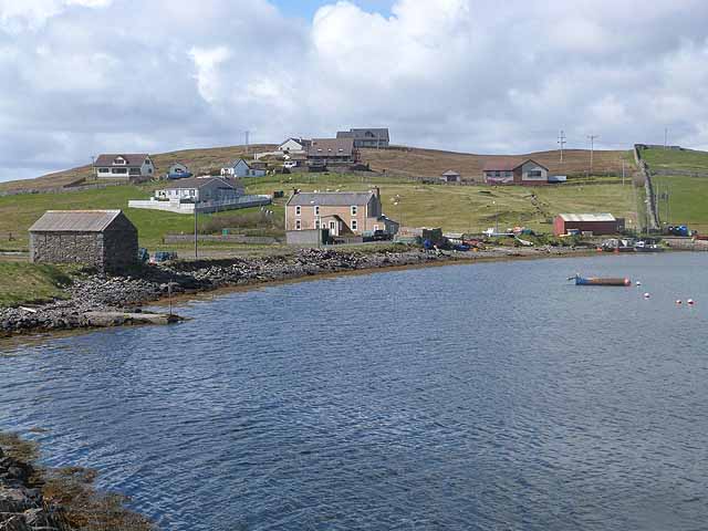
The Kame is a prominent coastal feature located in Shetland, an archipelago in Scotland. It is specifically classified as a headland or point, jutting out into the North Sea. The Kame is situated on the eastern side of the Shetland mainland, near the village of Vidlin.
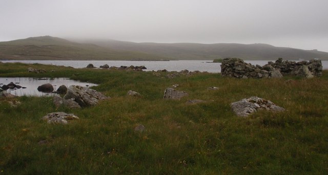
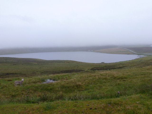
This coastal feature is known for its distinctive geological formation. It is a steep and rugged promontory that rises abruptly from the surrounding landscape. The Kame is formed by glacial activity from the last Ice Age, which shaped the Shetland Islands thousands of years ago. It is characterized by its steep cliffs, rocky shoreline, and exposed bedrock.
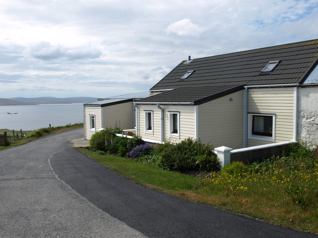
The Kame offers breathtaking views of the surrounding coastal scenery, making it a popular spot for tourists and nature enthusiasts. Its exposed location means that it is often subject to strong winds and crashing waves, adding to its dramatic allure.
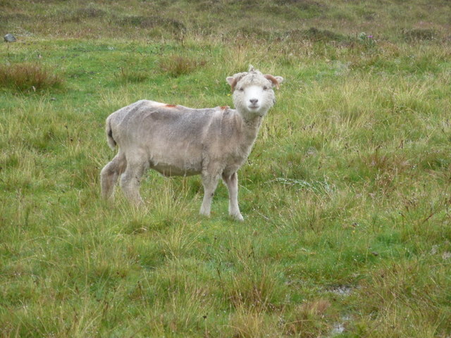
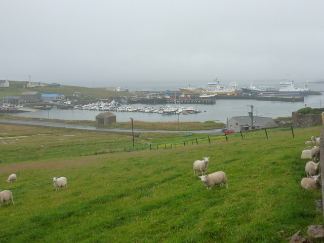
The area around The Kame is home to a variety of flora and fauna, including seabirds such as gannets, fulmars, and kittiwakes. The rocky shoreline provides nesting sites for these birds, creating a vibrant and ecologically rich environment.
Visitors to The Kame can explore the area via walking trails that wind along the headland, offering stunning vistas of the surrounding sea and countryside. It is also possible to access the nearby sandy beach for those seeking a more relaxed coastal experience.
Overall, The Kame is a remarkable coastal feature in Shetland, offering a unique blend of geological history, dramatic landscapes, and abundant wildlife.
If you have any feedback on the listing, please let us know in the comments section below.
The Kame Images
Images are sourced within 2km of 60.327998/-1.0021578 or Grid Reference HU5560. Thanks to Geograph Open Source API. All images are credited.


The Kame is located at Grid Ref: HU5560 (Lat: 60.327998, Lng: -1.0021578)
Unitary Authority: Shetland Islands
Police Authority: Highlands and Islands
What 3 Words
///profited.vibes.mandolin. Near Symbister, Shetland Islands
Nearby Locations
Related Wikis

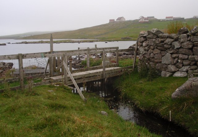
Breiwick Burn
Breiwick Burn is a burn (stream) in southeastern Whalsay, Shetland Islands, Scotland. The source of the stream is in the Ward of Clette, to the northeast...

Whalsay
Whalsay (Scots: Whalsa; Old Norse: Hvalsey or Hvals-øy, meaning 'Whale Island') is the sixth largest of the Shetland Islands in the north of Scotland....

Holm of Sandwick
The Holm of Sandwick is an islet, located roughly 100 metres (330 ft) off Haa Ness and the southwestern side of Whalsay, in the Shetland Islands of Scotland...

Clate
Clate (also known as Clett) is a hamlet and ward in southwestern Whalsay in the parish of Nesting in the Shetland Islands of Scotland. == Geography... ==

Sandwick, Whalsay
Sandwick is a hamlet, often considered part of the main village of Symbister along with adjacent Harlsdale, in the parish of Nesting in southwestern Whalsay...

Loch of Huxter
Loch of Huxter is a loch of southeastern Whalsay, Shetland Islands, Scotland, to the southwest of the village of Huxter. There is a water pumping station...

Symbister House
Symbister House is a former country house in Symbister, Whalsay island, in the Shetland islands of Scotland. It was built in 1823 by the Bruce family who...
Sodom, Shetland
Sodom (known locally as Sudheim) is a settlement on Whalsay, Shetland. The name is a corruption of the Old Norse Suðheim meaning "south home". It was formerly...
Have you been to The Kame?
Leave your review of The Kame below (or comments, questions and feedback).