Meo Ness

Coastal Feature, Headland, Point in Shetland

Scotland

Meo Ness

Southern Whalsay Looking from near the summit of Ward of Clett across to the uninhabited islet of East Linga in the distance.
Southern Whalsay Credit: David Purchase

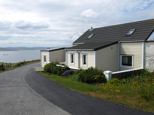
Meo Ness is a prominent coastal feature located on the northern coast of the Shetland Islands, Scotland. It is classified as a headland or point due to its distinct and prominent protrusion into the sea. Meo Ness is situated near the village of Brae, approximately 20 miles northwest of Lerwick, the capital of Shetland.

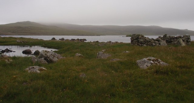
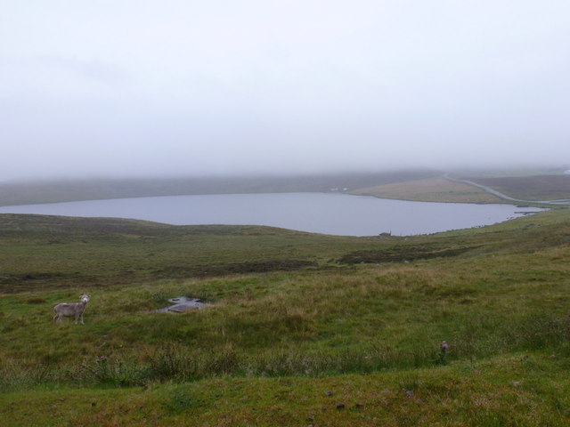
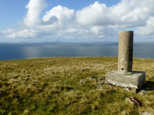
The headland is characterized by its rugged and rocky coastline, with steep cliffs rising abruptly from the sea. The cliffs at Meo Ness are composed of layered sandstone, creating a stunning geological formation. The headland offers breathtaking panoramic views of the North Sea, the surrounding islands, and the vast expanse of the Shetland landscape.

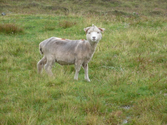
Meo Ness is an important site for birdwatchers and nature enthusiasts, as it is home to a diverse range of seabirds and wildlife. Species such as puffins, fulmars, guillemots, and razorbills can be observed nesting and foraging in the area. The headland's location and topography also make it an ideal spot for seal and otter sightings.

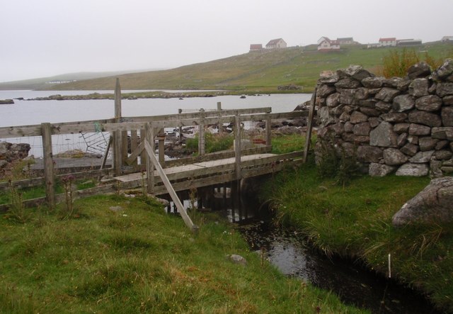
Visitors to Meo Ness can explore the network of coastal paths that wind along the cliffs, providing opportunities for scenic walks and hikes. The headland is also a popular spot for fishing, with anglers often casting their lines into the abundant waters.

Overall, Meo Ness is a captivating coastal feature in Shetland, offering visitors a chance to immerse themselves in the region's natural beauty, wildlife, and dramatic coastal landscapes.

If you have any feedback on the listing, please let us know in the comments section below.

Meo Ness Images

Images are sourced within 2km of 60.328726/-0.99146927 or Grid Reference HU5560. Thanks to Geograph Open Source API. All images are credited.

Southern Whalsay Looking from near the summit of Ward of Clett across to the uninhabited islet of East Linga in the distance.
Southern Whalsay
Looking from near the summit of Ward of Clett across to the uninhabited islet of East Linga in the distance.
The summit of Ward of Clett, Whalsay Well, this is what everyone would think is the summit. But the purists maintain that the true highest point is a little way to the north-east, at HU55046148.
The summit of Ward of Clett, Whalsay
Well, this is what everyone would think is the summit. But the purists maintain that the true highest point is a little way to the north-east, at HU55046148.
Descending to Clate On the way down from Ward of Clett, the highest point on Whalsay.
Descending to Clate
On the way down from Ward of Clett, the highest point on Whalsay.
Loch of Huxter, Whalsay One of four lochs on Whalsay of similar size. I would estimate that this is the largest.
Loch of Huxter, Whalsay
One of four lochs on Whalsay of similar size. I would estimate that this is the largest.
A Cottage A Cottage at the turning space, Clate, Whalsay
A Cottage
A Cottage at the turning space, Clate, Whalsay
Rocks and Old Iron, Loch of Huxter A beautiful small loch near Symbister. The thing on the rock looks like part of an old stove.
Rocks and Old Iron, Loch of Huxter
A beautiful small loch near Symbister. The thing on the rock looks like part of an old stove.
Loch of Huxter
Loch of Huxter
Whalsay Leisure Centre
View at Symbister The eastern part of Symbister. Sodom, according to the map.
View at Symbister
The eastern part of Symbister. Sodom, according to the map.
Symbister House A mansion built in 1823 for the owners of Whalsay, the Bruce family. According to this article <span class="nowrap"><a title="https://en.wikipedia.org/wiki/Symbister_House" rel="nofollow ugc noopener" href="https://en.wikipedia.org/wiki/Symbister_House">Link</a><img style="margin-left:2px;" alt="External link" title="External link - shift click to open in new window" src="https://s1.geograph.org.uk/img/external.png" width="10" height="10"/></span> they were an obnoxious bunch.
The house is now used by Whalsay secondary school.
Symbister House
A mansion built in 1823 for the owners of Whalsay, the Bruce family. According to this article LinkExternal link they were an obnoxious bunch. The house is now used by Whalsay secondary school.
Huxter Loch, bridge across the outflow burn
Huxter Loch, east shore View to an area known locally as the 'Clease Holm'
Huxter Loch, east shore
View to an area known locally as the 'Clease Holm'
Symbister: the post office This general store houses Symbister Post Office, since 5 or 10 years ago the only office on the island after the one at Brough closed.
Symbister: the post office
This general store houses Symbister Post Office, since 5 or 10 years ago the only office on the island after the one at Brough closed.
Symbister: postbox № ZE2 100 This large Elizabeth II-reign postbox stands outside the post office (<a href="https://www.geograph.org.uk/photo/2757136">HU5461 : Symbister: the post office</a>) and is one of two postboxes on Whalsay. It is emptied on, weekdays and Saturdays, at 8:45am.
Symbister: postbox № ZE2 100
This large Elizabeth II-reign postbox stands outside the post office (HU5461 : Symbister: the post office) and is one of two postboxes on Whalsay. It is emptied on, weekdays and Saturdays, at 8:45am.
Whalsay: Loch of Huxter A bedraggled sheep stands by the side-turning to the hamlet of Huxter on a horribly wet day, as we look beyond towards the loch and the lane winding towards Symbister.
Whalsay: Loch of Huxter
A bedraggled sheep stands by the side-turning to the hamlet of Huxter on a horribly wet day, as we look beyond towards the loch and the lane winding towards Symbister.
Whalsay: a bedraggled sheep This chap features in the picture <a href="https://www.geograph.org.uk/photo/2757149">HU5562 : Whalsay: Loch of Huxter</a>, and has a quizzical look as if he wonders why anyone would be passing these parts on such a foul, wet day.
Whalsay: a bedraggled sheep
This chap features in the picture HU5562 : Whalsay: Loch of Huxter, and has a quizzical look as if he wonders why anyone would be passing these parts on such a foul, wet day.
Whalsay Leisure Centre Whalsay is a prosperous island, sustained by the deep sea fishing fleet. Even by Shetland standards, the leisure centre seems particularly grand with a 15 m swimming pool, multi-sport main hall, a squash court and a fitness suite.
Whalsay Leisure Centre
Whalsay is a prosperous island, sustained by the deep sea fishing fleet. Even by Shetland standards, the leisure centre seems particularly grand with a 15 m swimming pool, multi-sport main hall, a squash court and a fitness suite.
Vanessa Trig On Ward of Clett A beautiful view from the Vanessa Trig on Ward of Clett, Whalsay towards Bressay.
Vanessa Trig On Ward of Clett
A beautiful view from the Vanessa Trig on Ward of Clett, Whalsay towards Bressay.
Show me another place!

Meo Ness is located at Grid Ref: HU5560 (Lat: 60.328726, Lng: -0.99146927)

Unitary Authority: Shetland Islands

Police Authority: Highlands and Islands

What 3 Words

///laptop.roofed.clotting. Near Symbister, Shetland Islands

Related Wikis

Breiwick Burn

Breiwick Burn is a burn (stream) in southeastern Whalsay, Shetland Islands, Scotland. The source of the stream is in the Ward of Clette, to the northeast...

Whalsay

Whalsay (Scots: Whalsa; Old Norse: Hvalsey or Hvals-øy, meaning 'Whale Island') is the sixth largest of the Shetland Islands in the north of Scotland....

Loch of Huxter

Loch of Huxter is a loch of southeastern Whalsay, Shetland Islands, Scotland, to the southwest of the village of Huxter. There is a water pumping station...

Huxter

Huxter is a crofting township in southeastern Whalsay in the parish of Nesting in the Shetland islands of Scotland. It lies to the east of Symbister, just...

Clate

Clate (also known as Clett) is a hamlet and ward in southwestern Whalsay in the parish of Nesting in the Shetland Islands of Scotland. == Geography... ==

Sandwick, Whalsay

Sandwick is a hamlet, often considered part of the main village of Symbister along with adjacent Harlsdale, in the parish of Nesting in southwestern Whalsay...

Holm of Sandwick

The Holm of Sandwick is an islet, located roughly 100 metres (330 ft) off Haa Ness and the southwestern side of Whalsay, in the Shetland Islands of Scotland...

Sodom, Shetland

Sodom (known locally as Sudheim) is a settlement on Whalsay, Shetland. The name is a corruption of the Old Norse Suðheim meaning "south home". It was formerly...

Have you been to Meo Ness?

Leave your review of Meo Ness below (or comments, questions and feedback).