Haw of Loossigroot
Cliff, Slope in Shetland
Scotland
Haw of Loossigroot
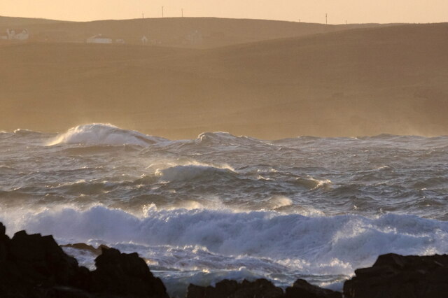
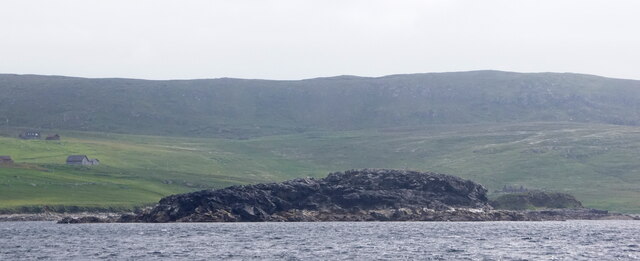
Haw of Loossigroot is a prominent cliff and slope located in the Shetland Islands, Scotland. Situated on the eastern coast of the mainland, it is renowned for its breathtaking views and geological significance. The cliff stands tall, reaching heights of approximately 250 feet, overlooking the North Sea.
The Haw of Loossigroot is composed of sedimentary rock formations, primarily sandstone and shale, which have been shaped over millions of years by natural erosion processes. This has resulted in the creation of a distinctive rugged landscape characterized by steep slopes and dramatic cliffs.
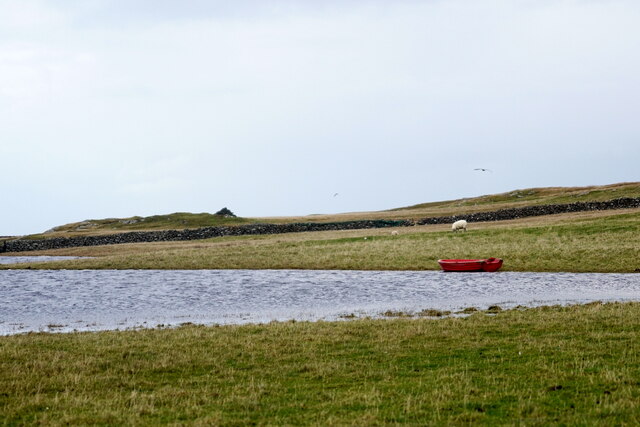
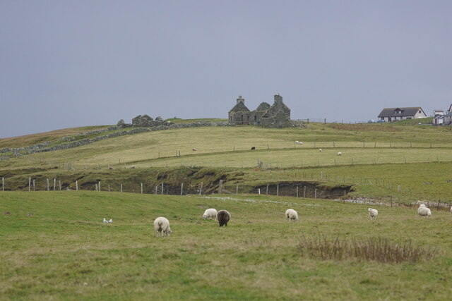
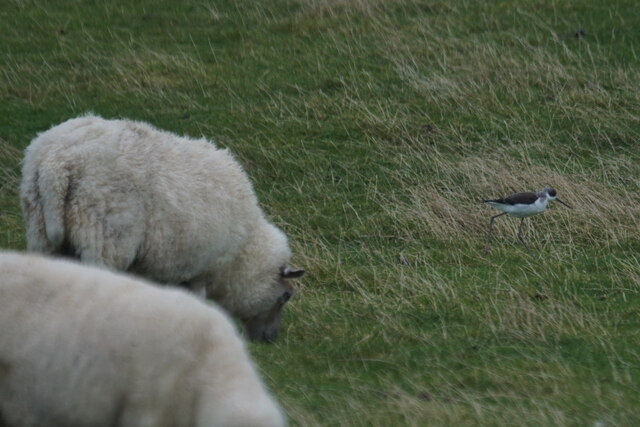
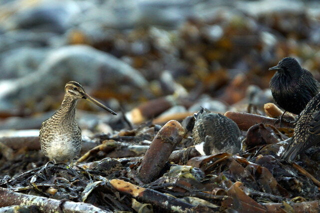
The site is a popular destination for nature enthusiasts, hikers, and photographers. Its unique topography offers visitors a chance to witness the raw power of nature, as waves crash against the cliffs, creating a mesmerizing spectacle. The cliff also provides a vantage point for observing seabird colonies, including guillemots, fulmars, and puffins, which nest in the rocky crevices.
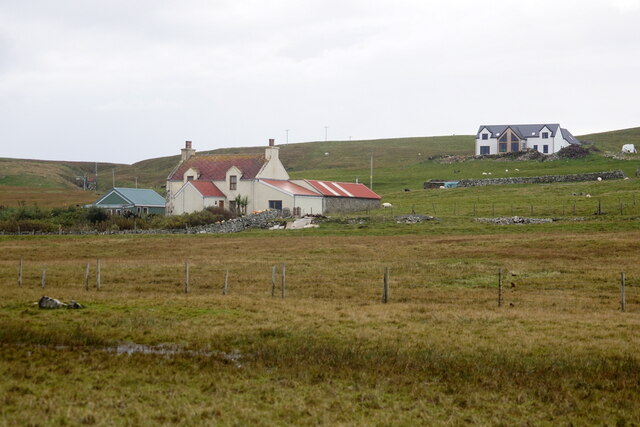
Access to the Haw of Loossigroot is relatively easy, with a designated footpath leading from the nearby village of Leebitton. The path meanders through picturesque moorland and offers stunning panoramic views of the surrounding landscape.
The Haw of Loossigroot holds historical and cultural significance as well. It is believed to have been inhabited by early settlers, and artifacts from the Neolithic and Iron Age have been discovered in the vicinity. Additionally, the cliff's name, "Haw," is derived from the Old Norse word for "hill" or "mound," reflecting the Norse influence in the area's history.
Overall, the Haw of Loossigroot is a captivating natural landmark that showcases the rugged beauty and rich history of the Shetland Islands.
If you have any feedback on the listing, please let us know in the comments section below.
Haw of Loossigroot Images
Images are sourced within 2km of 60.721497/-0.98235527 or Grid Reference HP5504. Thanks to Geograph Open Source API. All images are credited.


Haw of Loossigroot is located at Grid Ref: HP5504 (Lat: 60.721497, Lng: -0.98235527)
Unitary Authority: Shetland Islands
Police Authority: Highlands and Islands
What 3 Words
///unzipped.mysteries.rider. Near Uyeasound, Shetland Islands
Nearby Locations
Related Wikis

St Olaf's Church, Unst
St Olaf's Church, Unst is a ruined medieval church located on the island of Unst, in Shetland, Scotland, UK. The church was built in the Celtic style,...

Brough Holm
Brough Holm is a small island off Unst, in the North Isles of Shetland. It is off Westing, which as the name implies is on the west coast of Unst. The...

Society of Our Lady of the Isles
The Society of Our Lady of the Isles (SOLI) is a small Anglican religious order for women, founded in the late 20th century. It is located in Shetland...

Cullivoe
Cullivoe (Old Norse: Kollavágr - Bay of Kolli), is a village on Yell in the Shetland Islands. It is in the north east of the island, near Bluemull Sound...

Belmont House, Shetland
Belmont House is a neo classical Georgian Country House Estate on the island of Unst, the most northerly of the Shetland Islands, [United Kingdom] and...
Bluemull Sound
Bluemull Sound is the strait between Unst and Yell in Shetland's North Isles. A ferry service crosses it regularly. Cullivoe is on the Yell side, and the...
Belmont, Shetland
Belmont is a settlement and ferry terminal in southern Unst in the Shetland Islands. The ferry crosses from here to Gutcher in Yell and to Hamars Ness...

Gloup
Note: Gloup is common in Scottish placenames referring to a sea jet. Gloup is a village in the far north of the island of Yell in the Shetland Islands...
Have you been to Haw of Loossigroot?
Leave your review of Haw of Loossigroot below (or comments, questions and feedback).