Grunnating

Cliff, Slope in Shetland

Scotland

Grunnating

West Burrafirth kirk
West Burrafirth kirk Credit: Mike Pennington

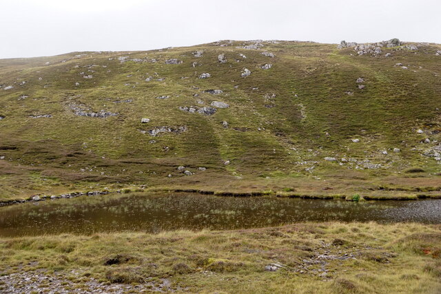
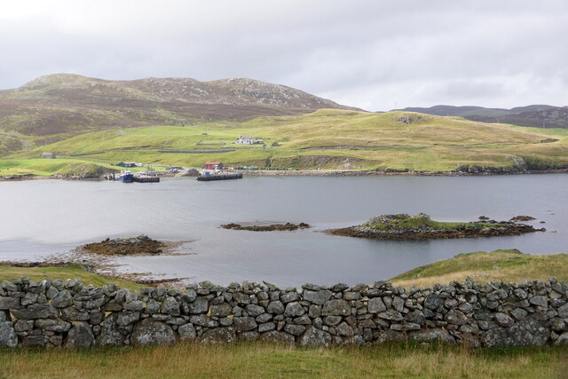
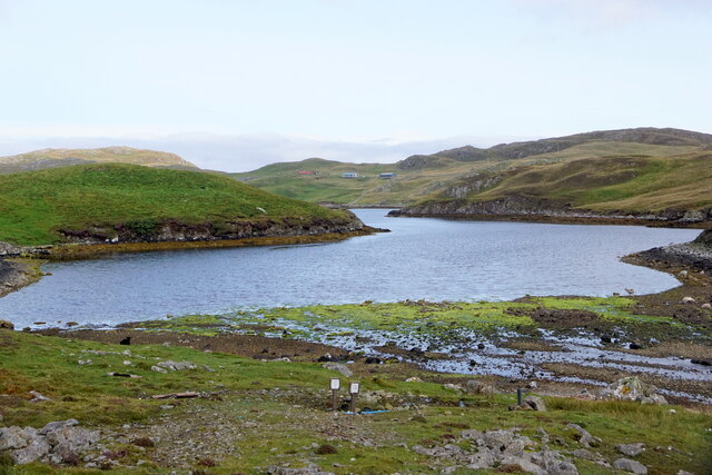
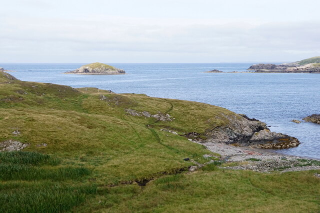
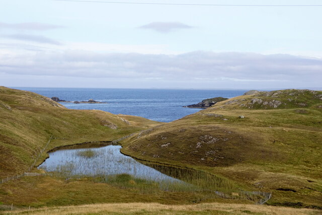
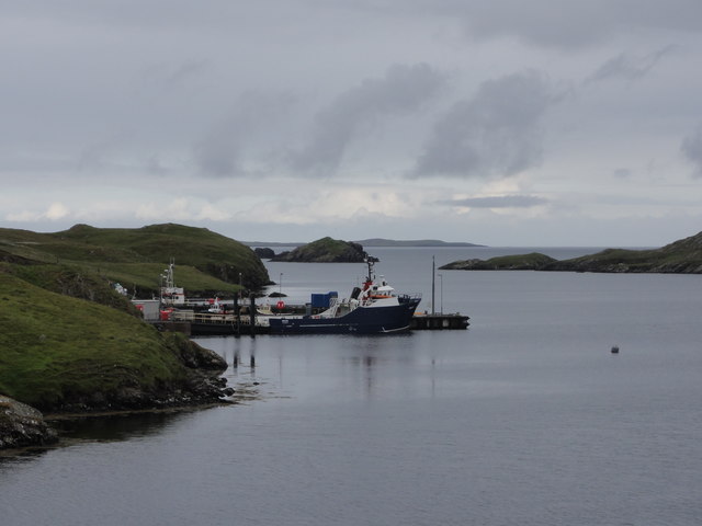
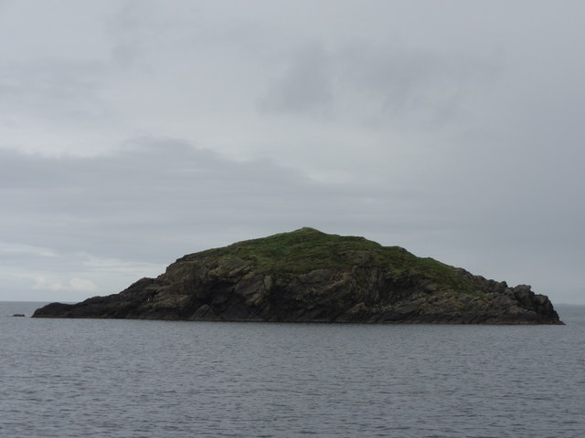
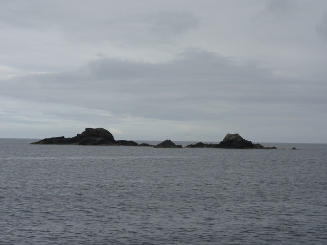
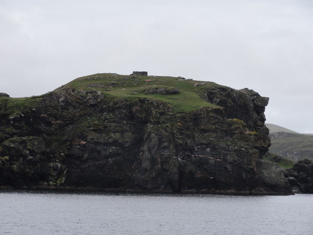
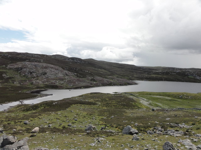
Grunnating is a stunning coastal area located in the Shetland Islands, Scotland. It is renowned for its majestic cliffs and steep slopes that stretch along the coastline, offering breathtaking views of the North Sea.

The cliffs of Grunnating are composed of rugged sandstone and rise to impressive heights, reaching up to 200 feet in some areas. They are characterized by their sheer vertical faces and dramatic formations, carved over centuries by the relentless power of the crashing waves. These cliffs are a haven for birdwatchers, as they provide nesting sites for a variety of seabirds, including puffins, guillemots, and fulmars.

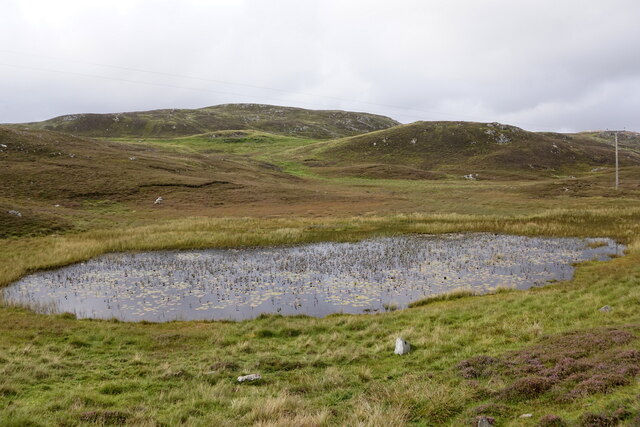
The slopes of Grunnating are equally captivating, with their steep inclines covered in lush green vegetation. These slopes are a haven for a diverse range of flora and fauna, making it an ideal spot for nature enthusiasts. The vegetation consists of hardy grasses, heathers, and wildflowers that add a splash of color to the landscape.

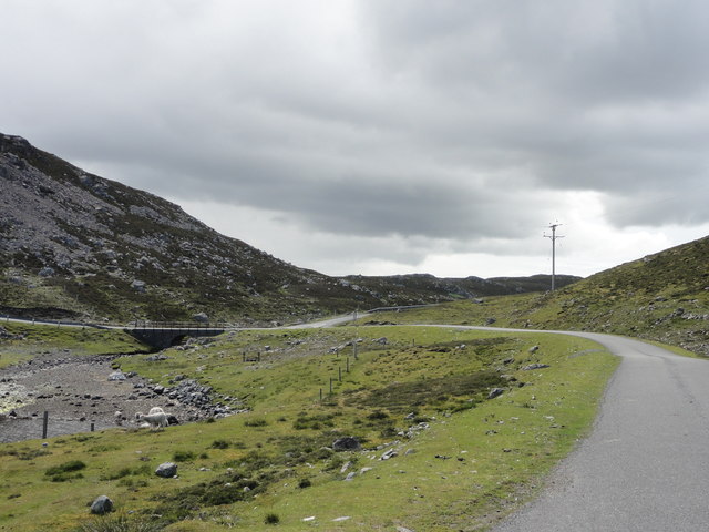
Access to Grunnating is relatively challenging due to its remote location and rugged terrain. However, for those willing to make the journey, the reward is an unforgettable experience of nature's raw beauty. Visitors are advised to take caution when exploring the area, as the cliffs and slopes can be precarious and unstable.

Overall, Grunnating is a must-see destination for nature lovers and adventure seekers alike. Its awe-inspiring cliffs and slopes offer a glimpse into the untamed beauty of the Shetland Islands, leaving visitors in awe of the power and grandeur of nature.

If you have any feedback on the listing, please let us know in the comments section below.
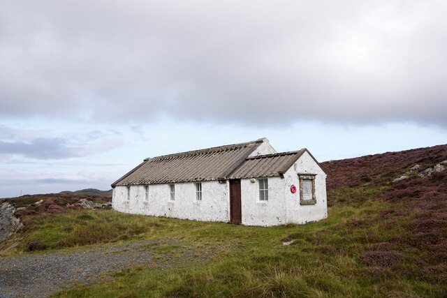
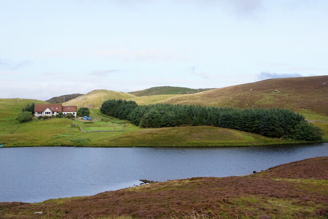
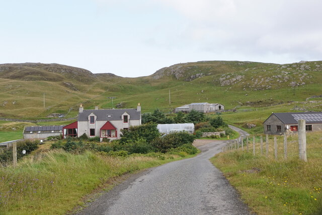
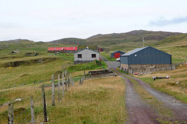
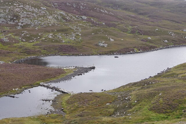
Grunnating Images

Images are sourced within 2km of 60.296135/-1.542804 or Grid Reference HU2556. Thanks to Geograph Open Source API. All images are credited.

West Burrafirth kirk
A lochan at West Burrafirth
Water-lilies in a lochan at West Burrafirth
Longa Water and Modesty, West Burrafirth
Engamoor, West Burrafirth
Broch at West Burra Firth
South-house, West Burrafirth
Papa Stour ferry, MV Snolda, at West Burrafirth pier
Outflow from Sulma Water at Fogrigarth
The head of West Burra Firth
West Burra Firth and Galta Stack
Un-named lochan at Hogan, between West Burrafirth and Snarra Ness
Pappa Stour Ferry Ferry 'Snolda' docked at the pier at West Burrafirth
Pappa Stour Ferry
Ferry 'Snolda' docked at the pier at West Burrafirth
Galta Stack View from the Papa Stour Ferry
Galta Stack
View from the Papa Stour Ferry
Riv Skerries View from the Papa Stour Ferry
Riv Skerries
View from the Papa Stour Ferry
Cliff Face View from Papa Stour Ferry
Cliff Face
View from Papa Stour Ferry
Burn of Fogrigarth Burn of Fogrigarth and road
Burn of Fogrigarth
Burn of Fogrigarth and road
Burn of Fogrigarth Burn of Fogrigarth fed from Sulma Water
Burn of Fogrigarth
Burn of Fogrigarth fed from Sulma Water
Show me another place!

Grunnating is located at Grid Ref: HU2556 (Lat: 60.296135, Lng: -1.542804)

Unitary Authority: Shetland Islands

Police Authority: Highlands and Islands

What 3 Words

///brings.costumed.organisms. Near Walls, Shetland Islands

Related Wikis

Broch of West Burrafirth

The Broch of West Burrafirth is an Iron Age broch located on the west side of Mainland, Shetland (grid reference HU25625720). == Location == The broch...

Brindister, West Mainland

Brindister is a settlement on the West Mainland of Shetland, Scotland. It is within the parish of Sandsting, and on the western shore of Brindister Voe...

Bousta

Bousta is a settlement on Mainland, in Shetland, Scotland. Bousta is situated in the parish of Walls and Sandness.Scott's Hawkweed is native to the pastures...

Scord of Brouster

The Scord of Brouster is one of the earliest Neolithic farm sites in Shetland, Scotland. It has been dated to 2220 BC with a time window of 80 years on...

Nearby Amenities

Located within 500m of 60.296135,-1.542804
Barrier: cattle_grid
Lat/Long: 60.2946643/-1.5483626
Barrier: cattle_grid
Lat/Long: 60.2932351/-1.5382722
Seamark Light 1 Category: directional
Seamark Light 1 Character: F
Seamark Light 1 Colour: green
Seamark Light 1 Exhibition: 24h
Seamark Light 1 Height: 9
Seamark Light 1 Orientation: 96.5
Seamark Light 1 Range: 9
Seamark Light 2 Category: directional
Seamark Light 2 Character: F
Seamark Light 2 Colour: white
Seamark Light 2 Exhibition: 24h
Seamark Light 2 Height: 9
Seamark Light 2 Orientation: 100
Seamark Light 2 Range: 15
Seamark Light 3 Category: directional
Seamark Light 3 Character: F
Seamark Light 3 Colour: red
Seamark Light 3 Exhibition: 24h
Seamark Light 3 Height: 9
Seamark Light 3 Orientation: 103.5
Seamark Light 3 Range: 9
Seamark Light Reference: A 3845.5
Seamark Type: light_minor
Source: US NGA Pub. 114. 2011-05-26.
Lat/Long: 60.2968/-1.5356333
Seamark Light Character: Iso
Seamark Light Colour: green
Seamark Light Height: 4
Seamark Light Period: 4
Seamark Light Range: 4
Seamark Light Reference: A 3845
Seamark Type: light_minor
Source: US NGA Pub. 114. 2011-05-26.
Lat/Long: 60.2955016/-1.5399319
West Burrafirth
Place: hamlet
Lat/Long: 60.2938682/-1.5407143
Leisure: slipway
Lat/Long: 60.2950513/-1.5400048
Ferry Terminal
Lat/Long: 60.2951497/-1.5391955
Broch of West Burrafirth
Designation: Broch
Historic: archaeological_site
Source: RCAHMS Canmore
Wikidata: Q508036
Wikipedia: en:Broch of West Burrafirth
Lat/Long: 60.2982244/-1.5382752
Telephone
Lat/Long: 60.2946932/-1.5407505
Toilets
Lat/Long: 60.2947663/-1.5407854
Power: pole
Lat/Long: 60.2939786/-1.5497927
Power: pole
Lat/Long: 60.294068/-1.548501
Power: pole
Lat/Long: 60.294155/-1.5472162
Power: pole
Lat/Long: 60.2942409/-1.5458876
Power: pole
Lat/Long: 60.294329/-1.5446213
Power: pole
Lat/Long: 60.2944664/-1.543697
Power: pole
Lat/Long: 60.2945913/-1.5428167
Power: pole
Lat/Long: 60.2943176/-1.5420195
Power: pole
Lat/Long: 60.2938962/-1.540774
Power: pole
Lat/Long: 60.2936638/-1.5401848
Power: pole
Lat/Long: 60.2933798/-1.539517
Power: pole
Lat/Long: 60.2929813/-1.5385419
Power: pole
Lat/Long: 60.2924625/-1.5377054
Power: pole
Lat/Long: 60.2943817/-1.540744
Bus Stop
West Burrafirth Pier
Fixme: Location unknown
Public Transport: platform
Lat/Long: 60.2947613/-1.5403041
The data included in this document is from www.openstreetmap.org. The data is made available under ODbL.

Have you been to Grunnating?

Leave your review of Grunnating below (or comments, questions and feedback).