Djuba Water
Lake, Pool, Pond, Freshwater Marsh in Shetland
Scotland
Djuba Water
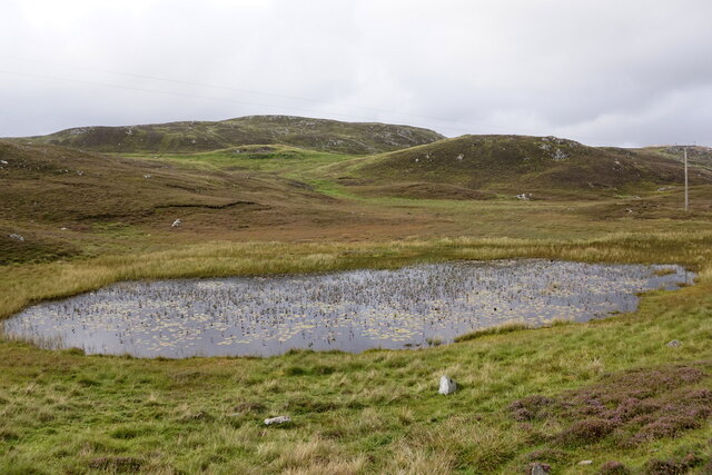
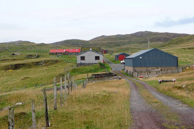
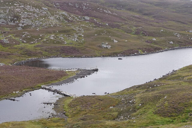
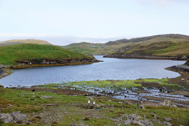
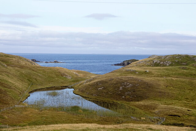
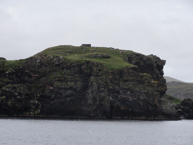
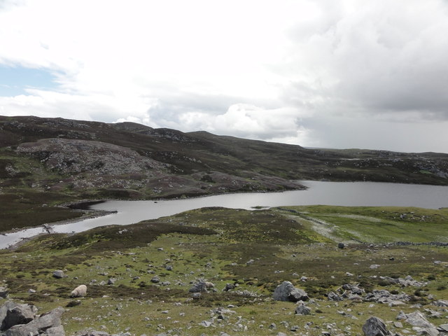
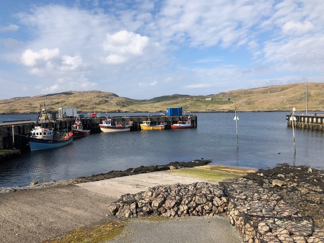
Djuba Water is a picturesque freshwater marsh located in the Shetland Islands, an archipelago in Scotland. It is classified as a lake, but its size and features resemble those of a large pond or pool. Situated in a remote and serene setting, Djuba Water is surrounded by rolling hills and abundant vegetation, creating a tranquil and scenic environment.
The water in Djuba Water is predominantly freshwater, sourced from rainfall and surrounding streams. It is known for its crystal-clear quality, providing a home for various aquatic plants and animals. The marshy nature of the area also gives rise to a diverse range of wetland species, making it an important habitat for wildlife.
The dimensions of Djuba Water are relatively small, spanning approximately 200 meters in length and 100 meters in width. Its shallow depth, averaging around 2 meters, allows sunlight to penetrate the water, supporting the growth of submerged vegetation. The presence of lily pads and reeds add to the natural beauty of the site, creating a haven for birds, insects, and amphibians.
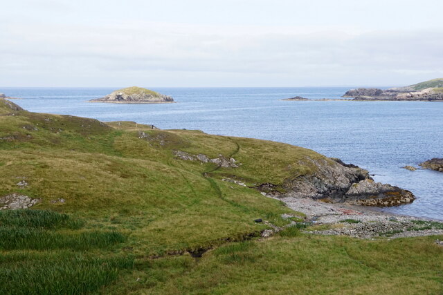
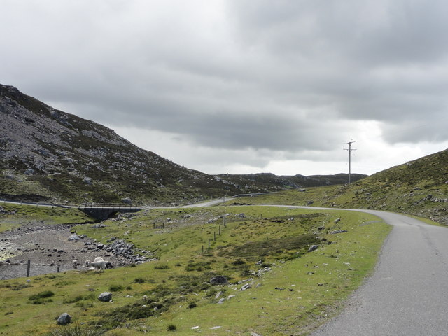
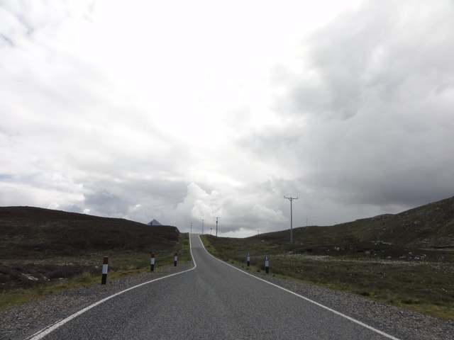
Access to Djuba Water is limited, as it is situated in a remote and protected area. However, visitors can enjoy the stunning view from the surrounding hills and take in the peaceful ambiance. The location also offers opportunities for nature enthusiasts to observe and study the unique flora and fauna that thrive in this freshwater marsh.
In conclusion, Djuba Water is a small yet captivating freshwater lake located in the Shetland Islands. With its scenic surroundings and diverse wildlife, it serves as a tranquil retreat for both nature lovers and those seeking a peaceful escape from the hustle and bustle of daily life.
If you have any feedback on the listing, please let us know in the comments section below.
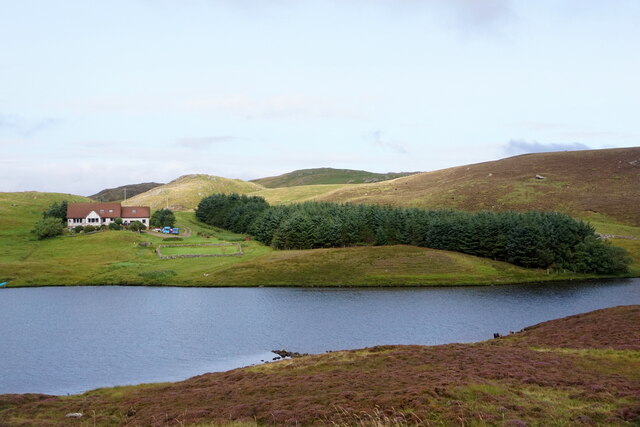
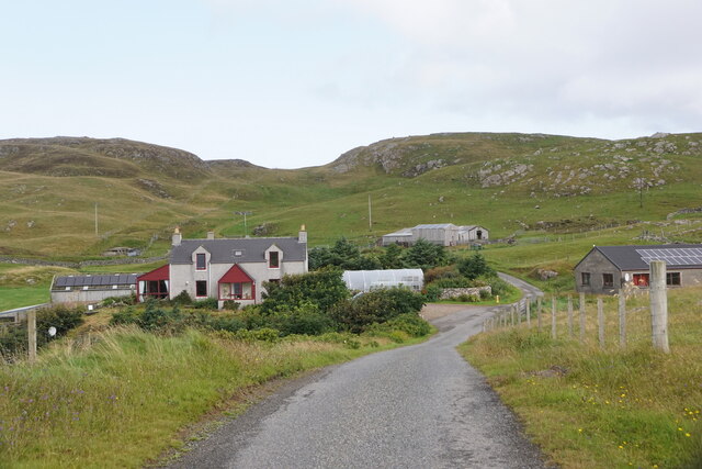
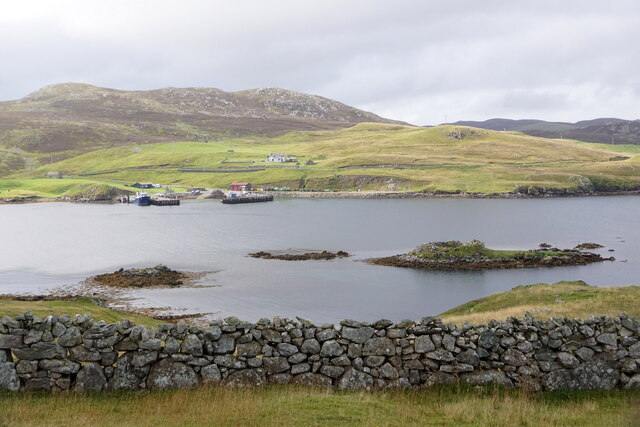
Djuba Water Images
Images are sourced within 2km of 60.295763/-1.5494662 or Grid Reference HU2556. Thanks to Geograph Open Source API. All images are credited.

Djuba Water is located at Grid Ref: HU2556 (Lat: 60.295763, Lng: -1.5494662)
Unitary Authority: Shetland Islands
Police Authority: Highlands and Islands
What 3 Words
///oxidation.spinning.expose. Near Walls, Shetland Islands
Nearby Locations
Related Wikis

Broch of West Burrafirth
The Broch of West Burrafirth is an Iron Age broch located on the west side of Mainland, Shetland (grid reference HU25625720). == Location == The broch...

Bousta
Bousta is a settlement on Mainland, in Shetland, Scotland. Bousta is situated in the parish of Walls and Sandness.Scott's Hawkweed is native to the pastures...

Brindister, West Mainland
Brindister is a settlement on the West Mainland of Shetland, Scotland. It is within the parish of Sandsting, and on the western shore of Brindister Voe...

Scord of Brouster
The Scord of Brouster is one of the earliest Neolithic farm sites in Shetland, Scotland. It has been dated to 2220 BC with a time window of 80 years on...

Sandness
Sandness (the "d" is not pronounced locally) is a headland and district in the west of Shetland Mainland, Scotland. Sandness was a civil parish, which...

West Mainland
The West Mainland of the Shetland Islands is the part of the Shetland Mainland lying west of Aith (1° 23′ W). == Geography == Points of interest include...

Vementry
Vementry (Old Norse: "Vemunðarey") is an uninhabited Scottish island in Shetland on the north side of the West Mainland, lying south of Muckle Roe. �...

Linga (near Vementry)
Linga is one of the Shetland Islands, near Vementry. It is one of many islands in Shetland called Linga. The island is uninhabited. == Geography and... ==
Nearby Amenities
Located within 500m of 60.295763,-1.5494662Have you been to Djuba Water?
Leave your review of Djuba Water below (or comments, questions and feedback).