Burrafirth, West
Settlement in Shetland
Scotland
Burrafirth, West
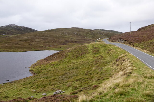
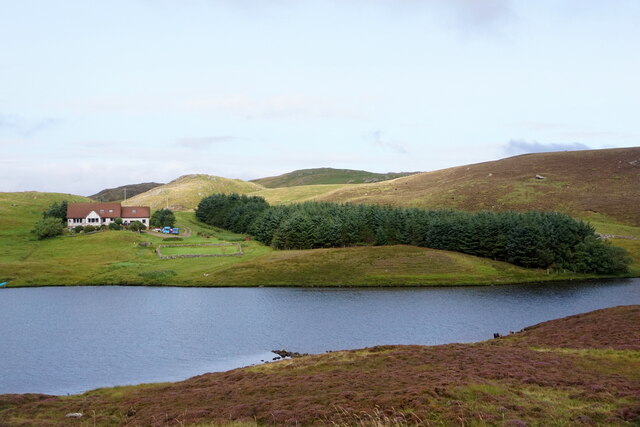
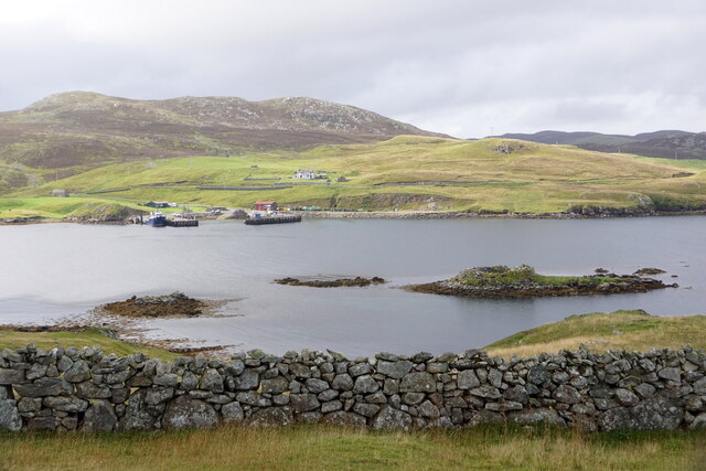
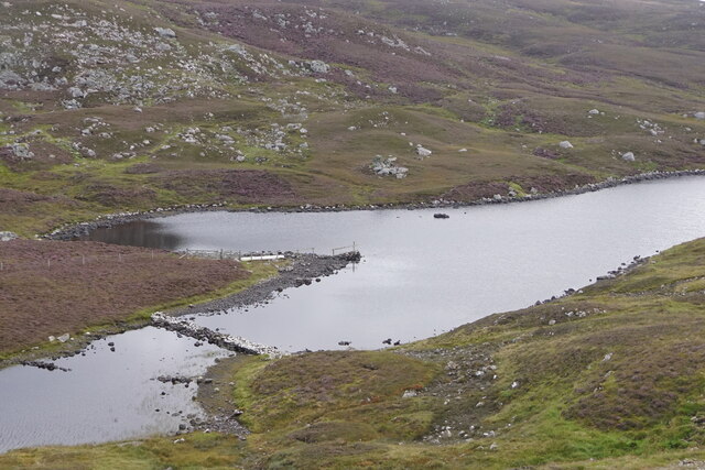
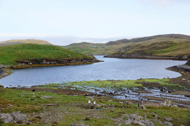
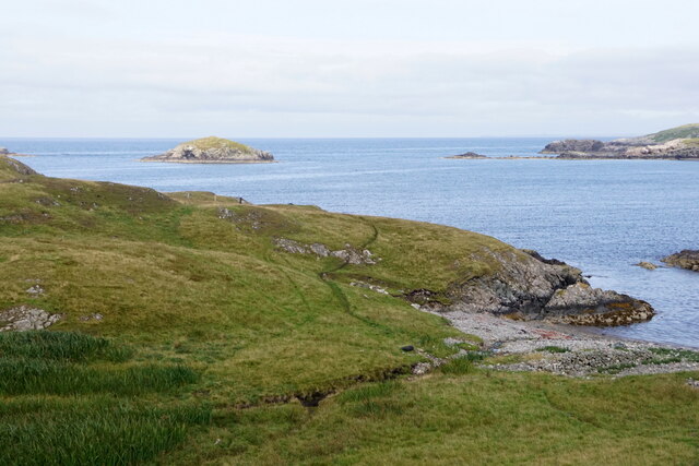
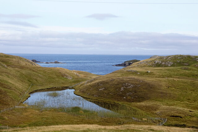
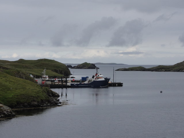
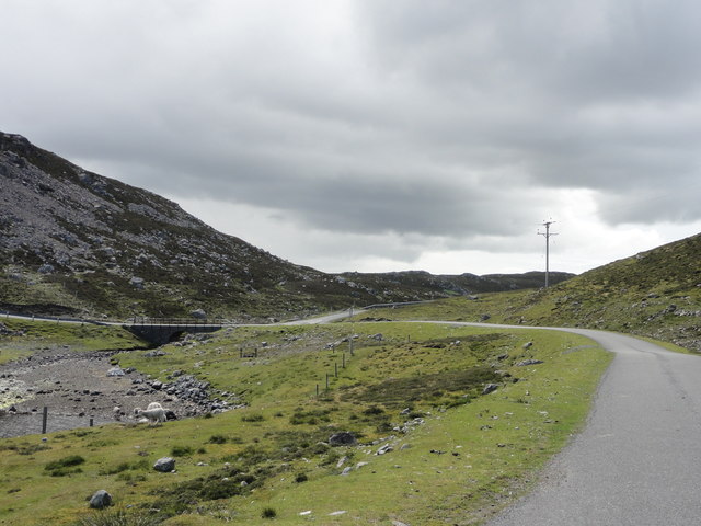
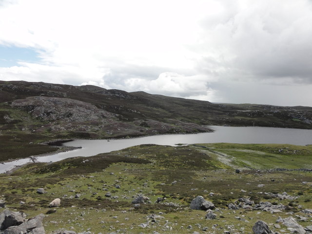
Burrafirth is a small settlement located in the West Side of Shetland, an archipelago in Scotland. Situated on the western coast of the mainland, Burrafirth offers stunning views of the Atlantic Ocean and its rugged coastline. The village is part of the Northmavine area, known for its picturesque landscapes and rich historical heritage.
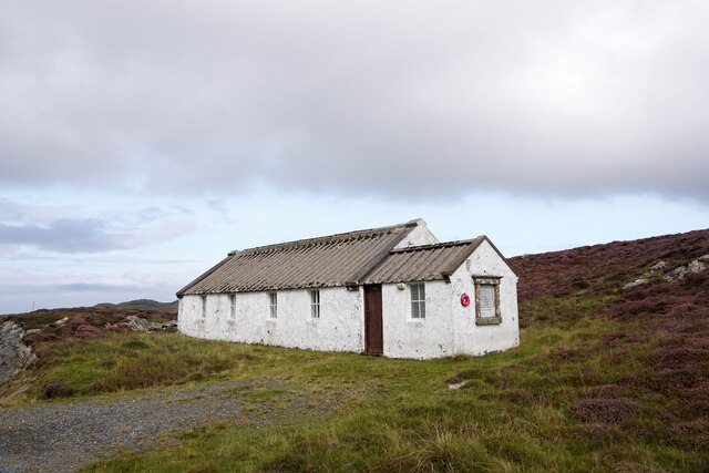
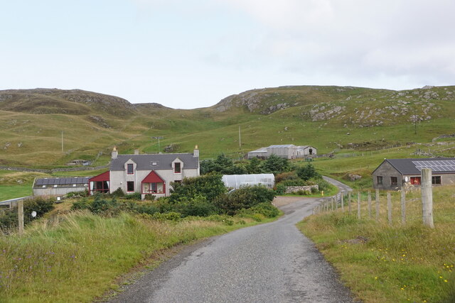
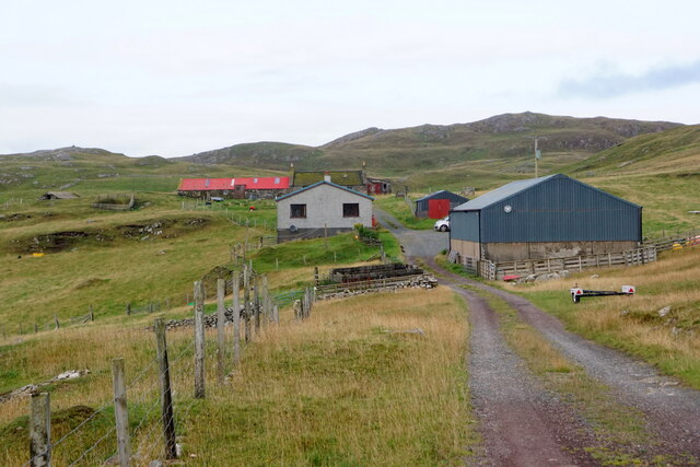
Burrafirth is home to a small population, with traditional crofting and fishing activities being the main sources of livelihood. The village itself consists of a cluster of houses, some of which are traditional stone-built structures, showcasing the local architectural style. The community is tight-knit, with residents often engaged in communal activities such as local festivals and events.
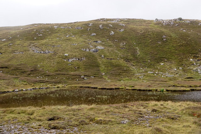
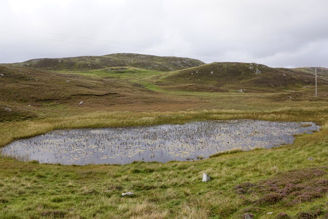
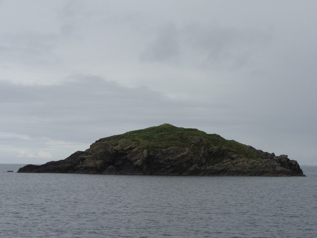
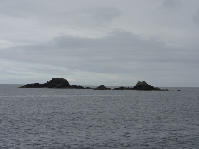
Nature enthusiasts are drawn to Burrafirth for its natural beauty. The surrounding area is characterized by cliffs, rocky outcrops, and breathtaking beaches. The coastline is frequented by a variety of seabirds, making it an ideal spot for birdwatching. Additionally, visitors can explore the nearby Eshaness Cliffs, famous for their dramatic geological formations and crashing waves.
Despite its small size, Burrafirth offers a range of amenities for residents and visitors alike. The village has a primary school, a community hall, and a small shop catering to basic needs. However, for more extensive facilities, residents often travel to the nearby town of Brae.
Overall, Burrafirth is a peaceful and scenic village, encapsulating the charm of the Shetland Islands. Its natural beauty and rich cultural heritage make it a popular destination for those seeking an authentic Scottish experience.
If you have any feedback on the listing, please let us know in the comments section below.
Burrafirth, West Images
Images are sourced within 2km of 60.292091/-1.5363127 or Grid Reference HU2556. Thanks to Geograph Open Source API. All images are credited.

Burrafirth, West is located at Grid Ref: HU2556 (Lat: 60.292091, Lng: -1.5363127)
Unitary Authority: Shetland Islands
Police Authority: Highlands and Islands
What 3 Words
///director.gain.handfuls. Near Walls, Shetland Islands
Nearby Locations
Related Wikis

Broch of West Burrafirth
The Broch of West Burrafirth is an Iron Age broch located on the west side of Mainland, Shetland (grid reference HU25625720). == Location == The broch...

Brindister, West Mainland
Brindister is a settlement on the West Mainland of Shetland, Scotland. It is within the parish of Sandsting, and on the western shore of Brindister Voe...

Bousta
Bousta is a settlement on Mainland, in Shetland, Scotland. Bousta is situated in the parish of Walls and Sandness.Scott's Hawkweed is native to the pastures...

Scord of Brouster
The Scord of Brouster is one of the earliest Neolithic farm sites in Shetland, Scotland. It has been dated to 2220 BC with a time window of 80 years on...

West Mainland
The West Mainland of the Shetland Islands is the part of the Shetland Mainland lying west of Aith (1° 23′ W). == Geography == Points of interest include...

Clousta
Clousta is a hamlet on Mainaland, in the island's west, Shetland, Scotland. Approximately seventy people live here, many of whom are commuters, but local...

Vementry
Vementry (Old Norse: "Vemunðarey") is an uninhabited Scottish island in Shetland on the north side of the West Mainland, lying south of Muckle Roe. �...

Linga (near Vementry)
Linga is one of the Shetland Islands, near Vementry. It is one of many islands in Shetland called Linga. The island is uninhabited. == Geography and... ==
Nearby Amenities
Located within 500m of 60.292091,-1.5363127Have you been to Burrafirth, West?
Leave your review of Burrafirth, West below (or comments, questions and feedback).