West Burrafirth

Settlement in Shetland

Scotland

West Burrafirth

Road beside Round Loch, Brindister
Road beside Round Loch, Brindister Credit: Mike Pennington

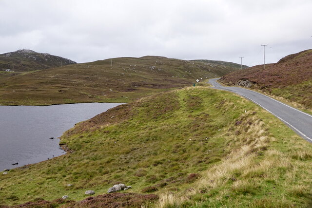
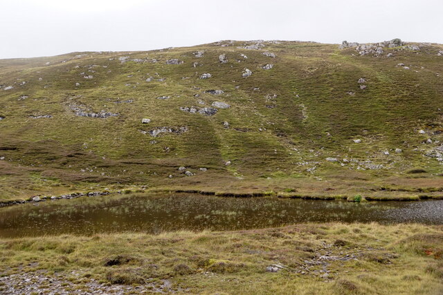
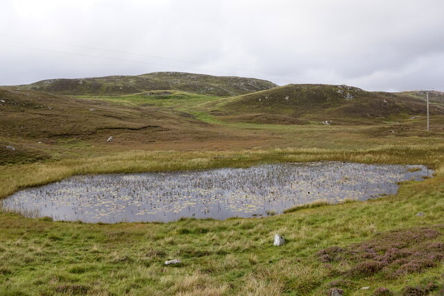
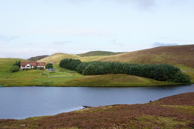
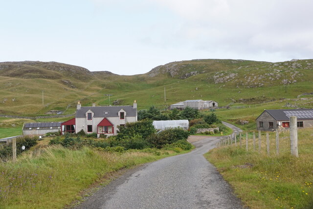
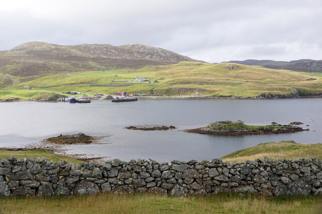
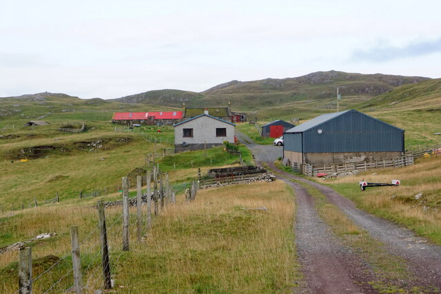
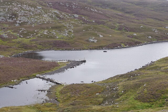
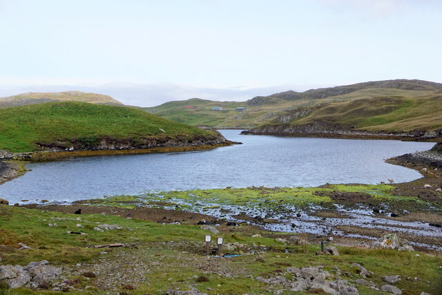
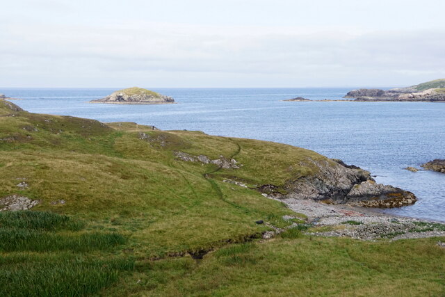
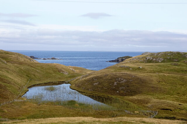
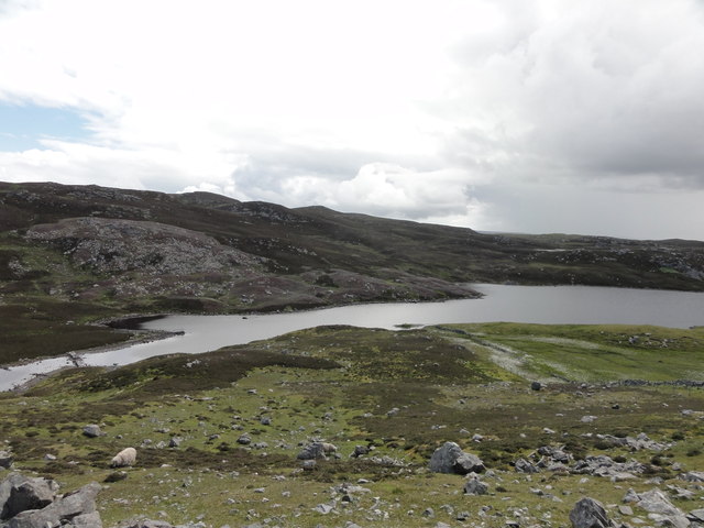
West Burrafirth is a small, picturesque settlement located on the western coast of the Shetland Islands, an archipelago in Scotland. Situated on the mainland, this rural community is nestled in a stunning natural landscape, surrounded by rolling hills, rugged cliffs, and the vast expanse of the North Atlantic Ocean.

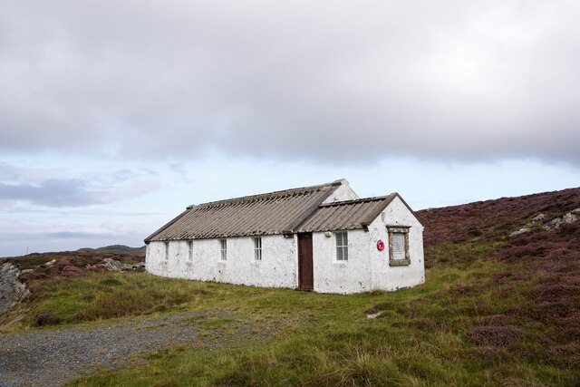
The village of West Burrafirth is characterized by its tranquility and unspoiled beauty. It consists of a scattering of traditional houses, most of which are made from local stone and have slate roofs. The dwellings are well-maintained, exuding a charming rural charm that is typical of the Shetland Islands.

The main focal point of West Burrafirth is the picturesque Burrafirth Beach. With its white sandy shores, crystal-clear waters, and stunning views of the surrounding cliffs and sea stacks, the beach is a haven for both locals and visitors. It offers opportunities for leisurely walks, picnics, birdwatching, and even wild swimming for the adventurous.

The area is also known for its rich wildlife. Bird enthusiasts can spot a variety of seabirds nesting along the cliffs, including puffins, guillemots, and razorbills. Seals can often be seen basking on the rocks, while otters occasionally make appearances along the shoreline.

West Burrafirth is a remote and peaceful place, perfect for those seeking a break from the hustle and bustle of modern life. Its natural beauty and tranquility make it an idyllic destination for nature lovers, photographers, and those looking to immerse themselves in the unique charm of the Shetland Islands.

If you have any feedback on the listing, please let us know in the comments section below.

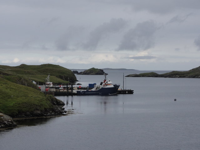
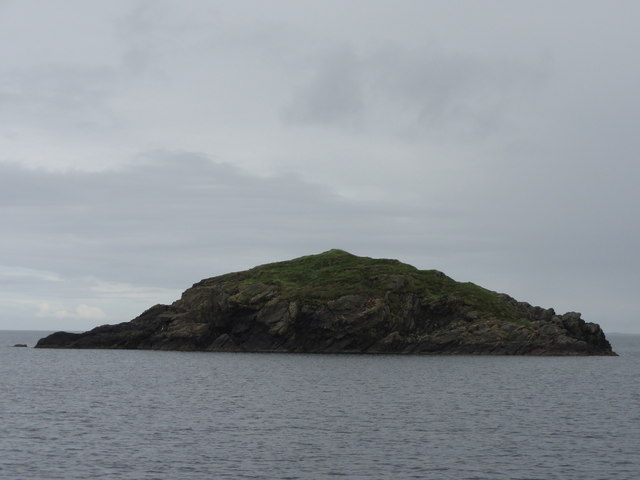
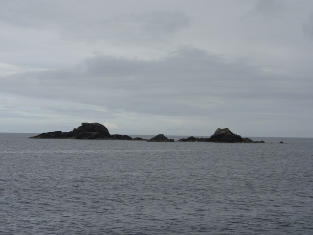
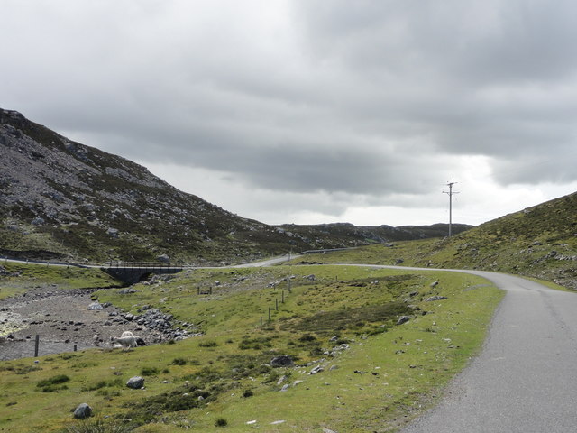
West Burrafirth Images

Images are sourced within 2km of 60.292091/-1.5363127 or Grid Reference HU2556. Thanks to Geograph Open Source API. All images are credited.

Road beside Round Loch, Brindister
West Burrafirth kirk
A lochan at West Burrafirth
Water-lilies in a lochan at West Burrafirth
Longa Water and Modesty, West Burrafirth
Engamoor, West Burrafirth
Broch at West Burra Firth
South-house, West Burrafirth
Papa Stour ferry, MV Snolda, at West Burrafirth pier
Outflow from Sulma Water at Fogrigarth
The head of West Burra Firth
West Burra Firth and Galta Stack
Un-named lochan at Hogan, between West Burrafirth and Snarra Ness
Pappa Stour Ferry Ferry 'Snolda' docked at the pier at West Burrafirth
Pappa Stour Ferry
Ferry 'Snolda' docked at the pier at West Burrafirth
Galta Stack View from the Papa Stour Ferry
Galta Stack
View from the Papa Stour Ferry
Riv Skerries View from the Papa Stour Ferry
Riv Skerries
View from the Papa Stour Ferry
Burn of Fogrigarth Burn of Fogrigarth and road
Burn of Fogrigarth
Burn of Fogrigarth and road
Burn of Fogrigarth Burn of Fogrigarth fed from Sulma Water
Burn of Fogrigarth
Burn of Fogrigarth fed from Sulma Water
Show me another place!

West Burrafirth is located at Grid Ref: HU2556 (Lat: 60.292091, Lng: -1.5363127)

Unitary Authority: Shetland Islands

Police Authority: Highlands and Islands

What 3 Words

///director.gain.handfuls. Near Walls, Shetland Islands

Related Wikis

Broch of West Burrafirth

The Broch of West Burrafirth is an Iron Age broch located on the west side of Mainland, Shetland (grid reference HU25625720). == Location == The broch...

Brindister, West Mainland

Brindister is a settlement on the West Mainland of Shetland, Scotland. It is within the parish of Sandsting, and on the western shore of Brindister Voe...

Bousta

Bousta is a settlement on Mainland, in Shetland, Scotland. Bousta is situated in the parish of Walls and Sandness.Scott's Hawkweed is native to the pastures...

Scord of Brouster

The Scord of Brouster is one of the earliest Neolithic farm sites in Shetland, Scotland. It has been dated to 2220 BC with a time window of 80 years on...

Nearby Amenities

Located within 500m of 60.292091,-1.5363127
Barrier: cattle_grid
Lat/Long: 60.293529/-1.5347565
Barrier: cattle_grid
Lat/Long: 60.2932351/-1.5382722
Seamark Light Character: Iso
Seamark Light Colour: green
Seamark Light Height: 4
Seamark Light Period: 4
Seamark Light Range: 4
Seamark Light Reference: A 3845
Seamark Type: light_minor
Source: US NGA Pub. 114. 2011-05-26.
Lat/Long: 60.2955016/-1.5399319
West Burrafirth
Place: hamlet
Lat/Long: 60.2938682/-1.5407143
Leisure: slipway
Lat/Long: 60.2950513/-1.5400048
Ferry Terminal
Lat/Long: 60.2951497/-1.5391955
Telephone
Lat/Long: 60.2946932/-1.5407505
Toilets
Lat/Long: 60.2947663/-1.5407854
Power: pole
Lat/Long: 60.2944664/-1.543697
Power: pole
Lat/Long: 60.2945913/-1.5428167
Power: pole
Lat/Long: 60.2943176/-1.5420195
Power: pole
Lat/Long: 60.2938962/-1.540774
Power: pole
Lat/Long: 60.2936638/-1.5401848
Power: pole
Lat/Long: 60.2933798/-1.539517
Power: pole
Lat/Long: 60.2929813/-1.5385419
Power: pole
Lat/Long: 60.2924625/-1.5377054
Power: pole
Lat/Long: 60.2919587/-1.5368597
Power: pole
Lat/Long: 60.2922209/-1.5355218
Power: pole
Lat/Long: 60.2929366/-1.5347523
Power: pole
Lat/Long: 60.293342/-1.5338165
Power: pole
Lat/Long: 60.2935962/-1.5332388
Power: pole
Lat/Long: 60.29365/-1.532437
Power: pole
Lat/Long: 60.2937554/-1.5308703
Power: pole
Lat/Long: 60.2938149/-1.5298675
Power: pole
Lat/Long: 60.2938893/-1.5288254
Power: pole
Lat/Long: 60.2939306/-1.5282246
Power: pole
Lat/Long: 60.2943817/-1.540744
Power: pole
Lat/Long: 60.2941516/-1.5299206
Power: pole
Lat/Long: 60.2949634/-1.5300246
Power: pole
Lat/Long: 60.2885048/-1.5391588
Power: pole
Lat/Long: 60.2891289/-1.5387706
Power: pole
Lat/Long: 60.2897691/-1.5383824
Power: pole
Lat/Long: 60.2903131/-1.5380497
Power: pole
Lat/Long: 60.290849/-1.5377216
Power: pole
Lat/Long: 60.2913277/-1.5374374
Bus Stop
West Burrafirth Pier
Fixme: Location unknown
Public Transport: platform
Lat/Long: 60.2947613/-1.5403041
The data included in this document is from www.openstreetmap.org. The data is made available under ODbL.

Have you been to West Burrafirth?

Leave your review of West Burrafirth below (or comments, questions and feedback).