Peter's Water
Lake, Pool, Pond, Freshwater Marsh in Shetland
Scotland
Peter's Water
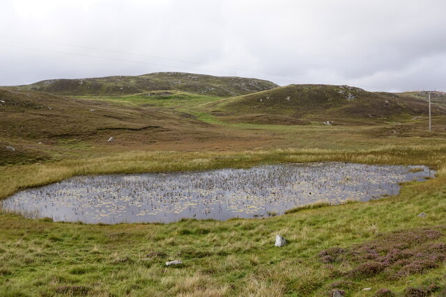
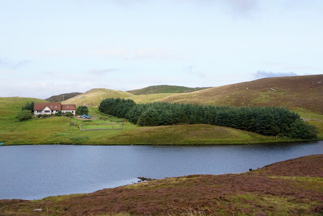
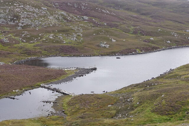
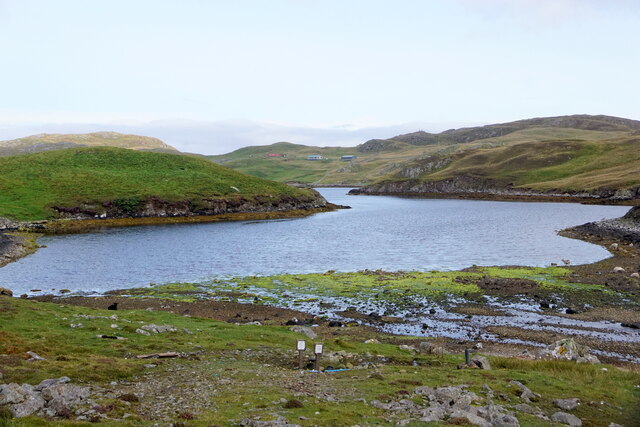
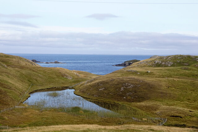
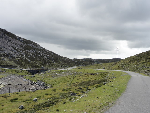
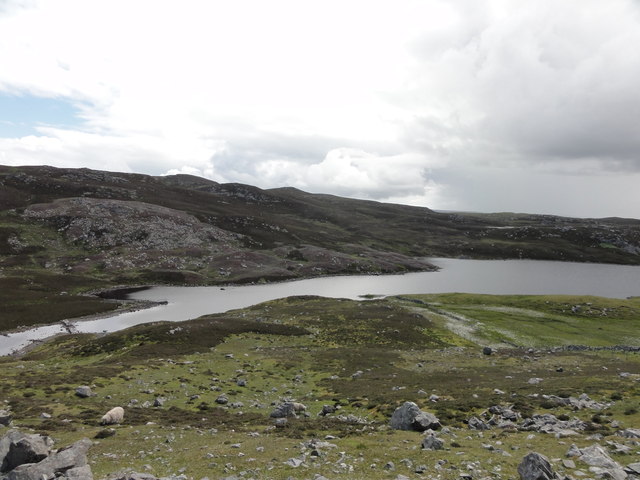
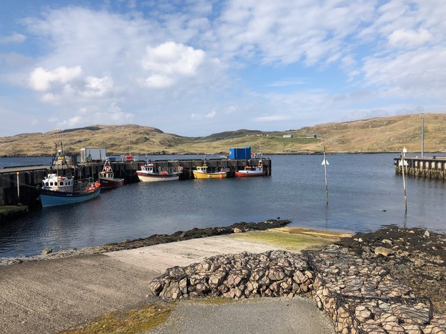
Peter's Water is a freshwater loch located in the picturesque island of Shetland, Scotland. It is often referred to as a lake due to its significant size and depth. Covering an area of approximately 50 acres, it is one of the larger bodies of water in the region.
The lake is nestled amidst rolling hills and breathtaking landscapes, offering visitors a serene and tranquil environment. It is surrounded by lush vegetation and is home to a diverse range of flora and fauna, making it a haven for nature enthusiasts.
Peter's Water is fed by several small streams and springs, ensuring a constant flow of freshwater. The water is crystal clear and renowned for its purity. It is a popular spot for fishing, with an abundance of trout and other freshwater fish species, making it a haven for anglers.
The lake's depth varies, reaching up to 30 feet in some areas. Its shoreline consists of both sandy and rocky areas, providing a diverse habitat for aquatic plants and animals. The calm waters make it ideal for various water activities such as kayaking, canoeing, and wild swimming.
Surrounding the lake is a rich freshwater marsh, which serves as a breeding ground for numerous bird species. Birdwatchers flock to the area to catch glimpses of wading birds, ducks, and other waterfowl that call the marsh their home.
Peter's Water is a true gem in the Shetland landscape, offering a peaceful retreat for those seeking solace in nature's embrace. Its natural beauty and abundance of wildlife make it a must-visit destination for nature lovers and outdoor enthusiasts alike.
If you have any feedback on the listing, please let us know in the comments section below.
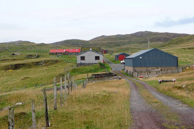
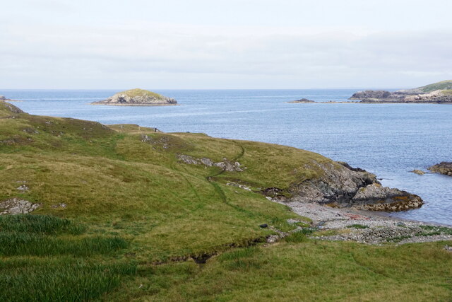
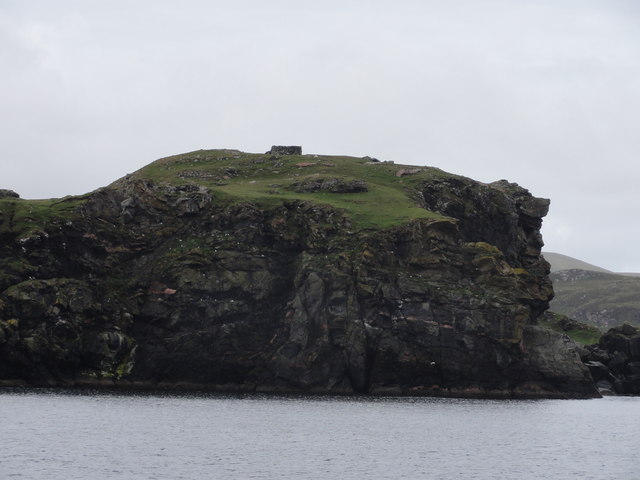
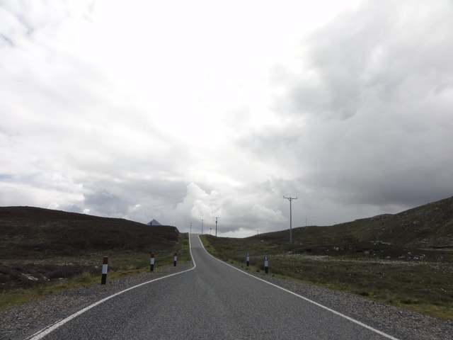
Peter's Water Images
Images are sourced within 2km of 60.29275/-1.5505025 or Grid Reference HU2456. Thanks to Geograph Open Source API. All images are credited.

Peter's Water is located at Grid Ref: HU2456 (Lat: 60.29275, Lng: -1.5505025)
Unitary Authority: Shetland Islands
Police Authority: Highlands and Islands
What 3 Words
///crunched.investor.dime. Near Walls, Shetland Islands
Nearby Locations
Related Wikis

Broch of West Burrafirth
The Broch of West Burrafirth is an Iron Age broch located on the west side of Mainland, Shetland (grid reference HU25625720). == Location == The broch...

Bousta
Bousta is a settlement on Mainland, in Shetland, Scotland. Bousta is situated in the parish of Walls and Sandness.Scott's Hawkweed is native to the pastures...

Brindister, West Mainland
Brindister is a settlement on the West Mainland of Shetland, Scotland. It is within the parish of Sandsting, and on the western shore of Brindister Voe...

Scord of Brouster
The Scord of Brouster is one of the earliest Neolithic farm sites in Shetland, Scotland. It has been dated to 2220 BC with a time window of 80 years on...
Nearby Amenities
Located within 500m of 60.29275,-1.5505025Have you been to Peter's Water?
Leave your review of Peter's Water below (or comments, questions and feedback).