Gossa Water
Lake, Pool, Pond, Freshwater Marsh in Shetland
Scotland
Gossa Water
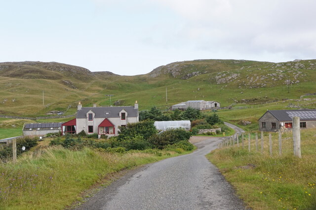
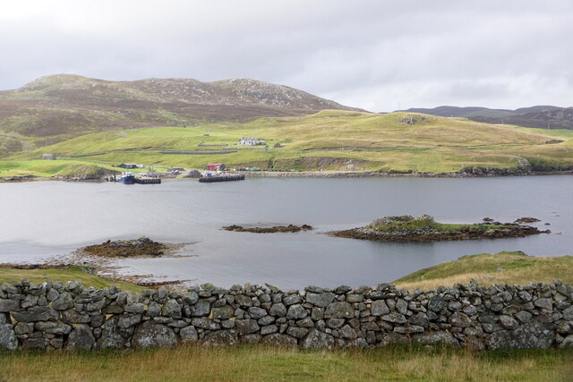
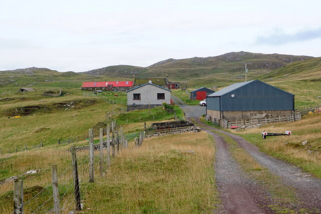
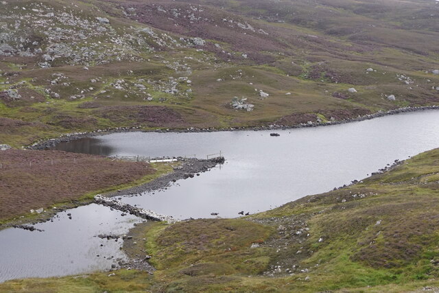
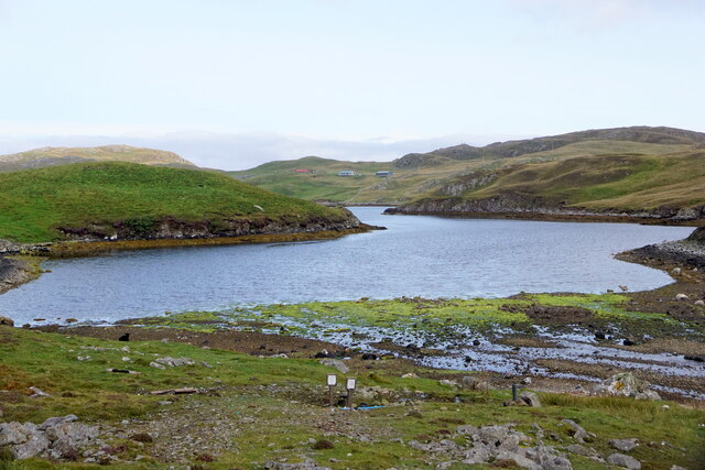
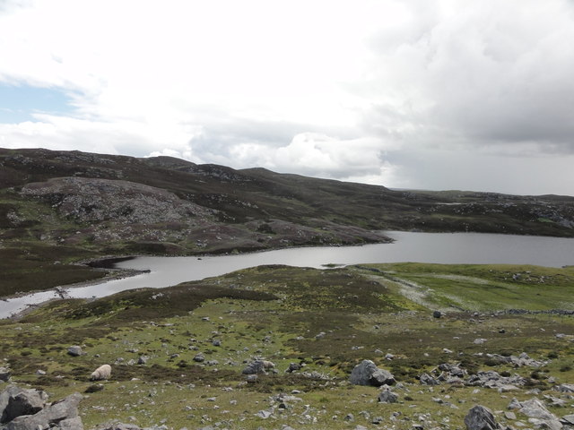
Gossa Water is a freshwater loch located in the Shetland Islands, which are part of Scotland. It is situated on the island of Yell, the second-largest island in the Shetland archipelago. The loch is also known as Gossawater, and it covers an area of approximately 45 hectares.
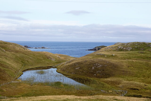
Gossa Water is a shallow body of water with an average depth of around 2 meters. It has a irregular shape, with several small bays and inlets along its shoreline. The loch is surrounded by rolling hills and moorland, creating a picturesque and serene environment.
The water in Gossa Water is freshwater, sourced primarily from rainfall and runoff from the surrounding land. It is relatively clear, allowing visibility into the water for several meters. The loch supports a diverse range of aquatic life, including fish such as brown trout and eels, as well as various species of water plants.
The surrounding area of Gossa Water is also home to a variety of bird species, making it an important site for birdwatching. Visitors can spot common species such as ducks, geese, and swans, as well as rarer birds such as the red-throated diver and the great skua.
Gossa Water provides a tranquil setting for outdoor activities such as fishing, boating, and walking. It is a popular spot among locals and tourists alike, offering a peaceful escape in the beautiful natural landscape of the Shetland Islands.
If you have any feedback on the listing, please let us know in the comments section below.
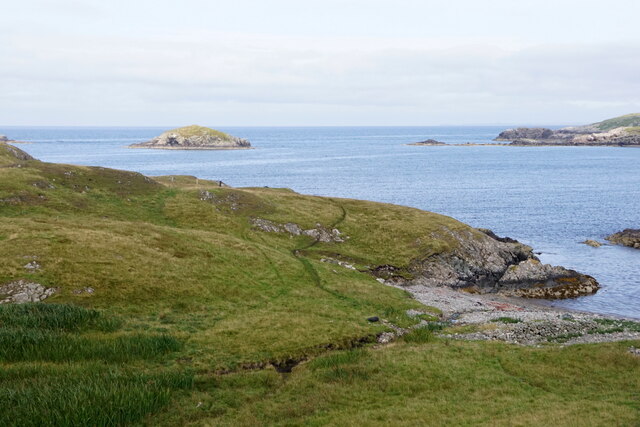
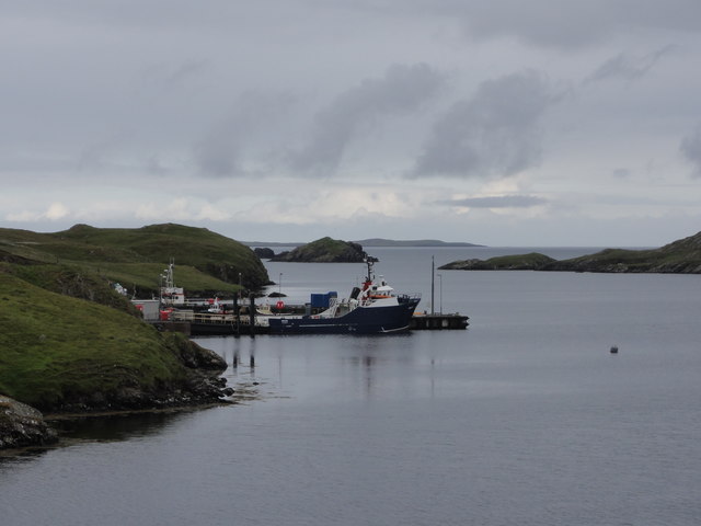
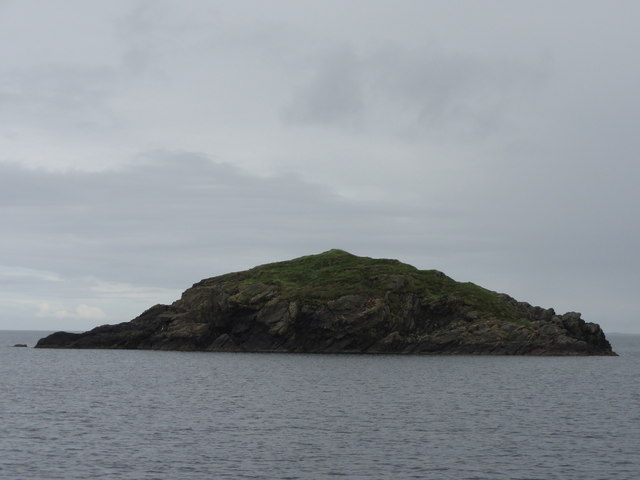
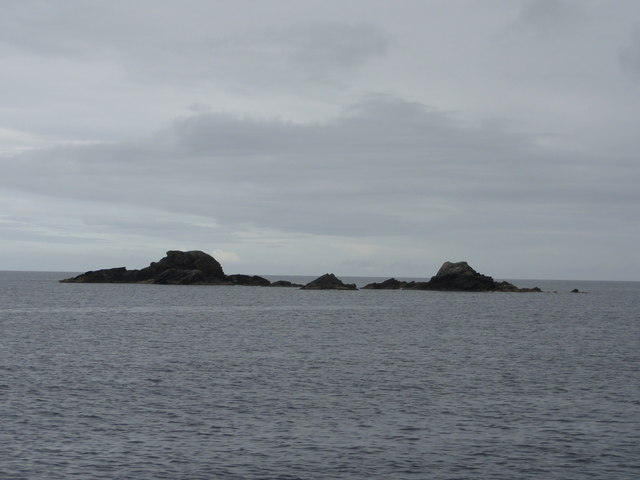
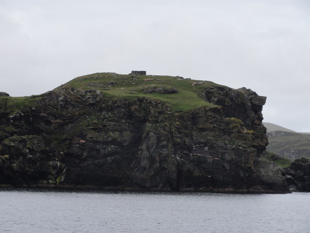
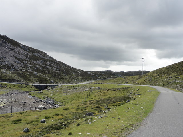
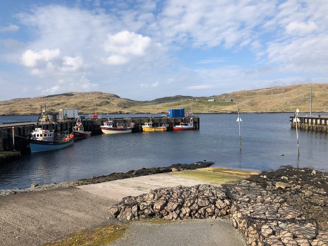
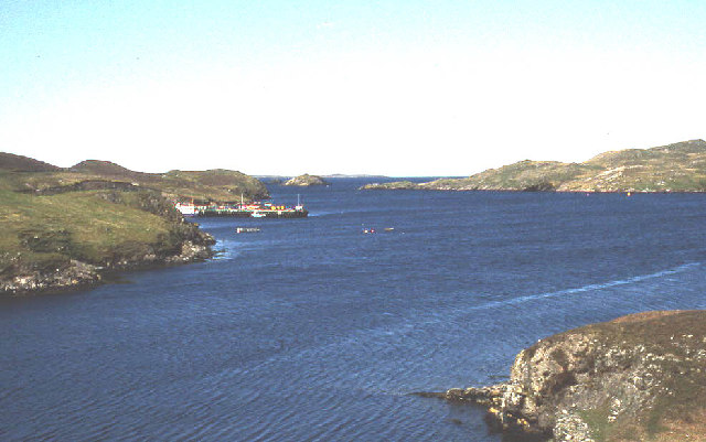
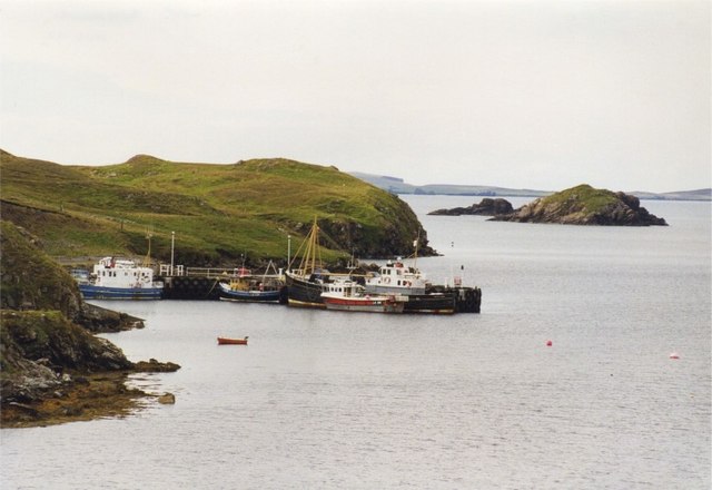
Gossa Water Images
Images are sourced within 2km of 60.290372/-1.5589998 or Grid Reference HU2456. Thanks to Geograph Open Source API. All images are credited.


Gossa Water is located at Grid Ref: HU2456 (Lat: 60.290372, Lng: -1.5589998)
Unitary Authority: Shetland Islands
Police Authority: Highlands and Islands
What 3 Words
///comedy.input.backtrack. Near Walls, Shetland Islands
Nearby Locations
Related Wikis

Broch of West Burrafirth
The Broch of West Burrafirth is an Iron Age broch located on the west side of Mainland, Shetland (grid reference HU25625720). == Location == The broch...

Bousta
Bousta is a settlement on Mainland, in Shetland, Scotland. Bousta is situated in the parish of Walls and Sandness.Scott's Hawkweed is native to the pastures...

Brindister, West Mainland
Brindister is a settlement on the West Mainland of Shetland, Scotland. It is within the parish of Sandsting, and on the western shore of Brindister Voe...

Scord of Brouster
The Scord of Brouster is one of the earliest Neolithic farm sites in Shetland, Scotland. It has been dated to 2220 BC with a time window of 80 years on...
Nearby Amenities
Located within 500m of 60.290372,-1.5589998Have you been to Gossa Water?
Leave your review of Gossa Water below (or comments, questions and feedback).