Loch of Forratwatt
Lake, Pool, Pond, Freshwater Marsh in Shetland
Scotland
Loch of Forratwatt
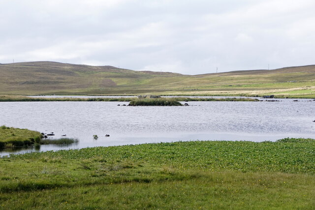
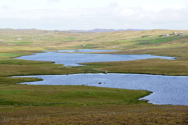
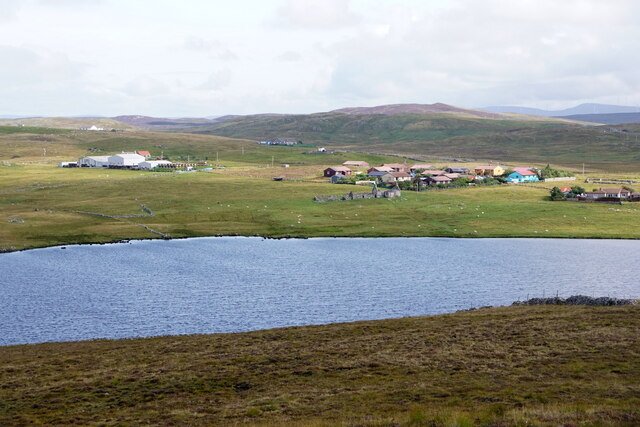
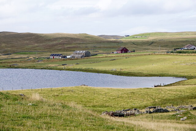
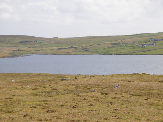
Loch of Forratwatt, located in the Shetland Islands, is a stunning freshwater loch that encompasses a rich and diverse ecosystem. Spanning over an area of approximately 3 hectares, the loch is surrounded by lush green vegetation and rolling hills, offering a picturesque view to visitors.
This tranquil water body is teeming with an abundance of wildlife, making it a popular spot for nature enthusiasts and bird watchers. The loch provides a habitat for various species of waterfowl, including ducks, geese, and swans, which can be observed gracefully gliding across the calm waters. Additionally, the loch is home to a variety of fish species, such as trout and perch, attracting anglers seeking a tranquil fishing experience.
The surrounding area of Loch of Forratwatt features a diverse range of plant life, with reeds and rushes dominating the freshwater marsh areas. These wetland plants provide a crucial habitat for insects and small invertebrates, sustaining a delicate ecological balance within the loch ecosystem.
Visitors to Loch of Forratwatt can explore the area by foot, taking advantage of the nearby walking trails that offer scenic views of the loch and the surrounding landscape. The tranquil atmosphere of the loch and its surroundings make it an ideal location for picnics and relaxation, providing an escape from the hustle and bustle of everyday life.
Overall, Loch of Forratwatt serves as a sanctuary for both wildlife and humans alike, offering a serene and captivating experience in the heart of the beautiful Shetland Islands.
If you have any feedback on the listing, please let us know in the comments section below.
Loch of Forratwatt Images
Images are sourced within 2km of 60.230441/-1.5597866 or Grid Reference HU2449. Thanks to Geograph Open Source API. All images are credited.


Loch of Forratwatt is located at Grid Ref: HU2449 (Lat: 60.230441, Lng: -1.5597866)
Unitary Authority: Shetland Islands
Police Authority: Highlands and Islands
What 3 Words
///expensive.clattered.moves. Near Walls, Shetland Islands
Nearby Locations
Related Wikis

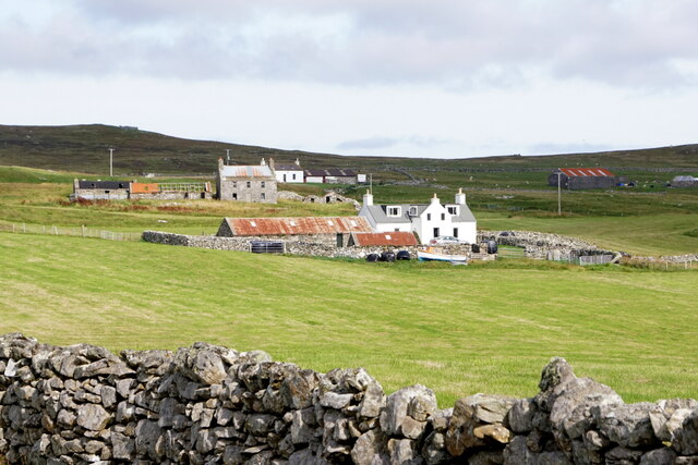
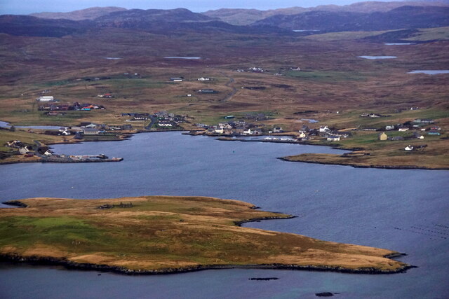
Walls, Shetland
Walls, traditionally pronounced Waas (Old Norse: Vagar = "Sheltered Bays" (voes) - the Ordnance Survey added the "ll" as they thought it was a corruption...

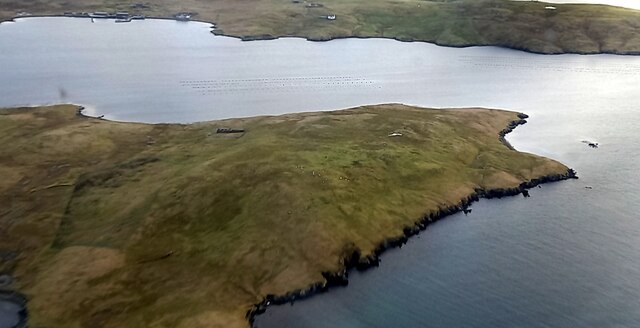
Linga, Vaila Sound
Linga is one of the Shetland Islands, near Vaila and Walls on Mainland, Shetland. Its highest elevation is 28 metres (91 ft). In 2014 and 2018 it was...

Scord of Brouster
The Scord of Brouster is one of the earliest Neolithic farm sites in Shetland, Scotland. It has been dated to 2220 BC with a time window of 80 years on...
Browland
Browland is a village on Mainland in Shetland, Scotland situated about 1.9 miles (3 km) east north east of Walls. Browland is within the parish of Sandsting...
Nearby Amenities
Located within 500m of 60.230441,-1.5597866Have you been to Loch of Forratwatt?
Leave your review of Loch of Forratwatt below (or comments, questions and feedback).