Gunthwaite Dam

Lake, Pool, Pond, Freshwater Marsh in Yorkshire

England

Gunthwaite Dam

Old milestone The 6 miles from Barnsley, late 19C West Riding CC, milestone is just west of Coach Gate Lane which leads to the ancient Gunthwaite Hall.   It is on a very narrow verge almost at the Barnsley/Kirklees boundary.  Not well painted but in a very difficult place to work.  It is Grade II listed 1314730.
Old milestone Credit: Chris Minto

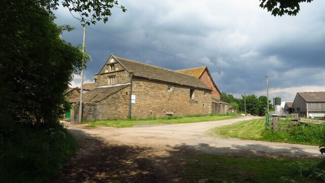
Gunthwaite Dam is a freshwater reservoir located in the village of Gunthwaite in Yorkshire, England. Covering an area of approximately 10 acres, it serves as an important water source for the local community. The dam was constructed in the early 20th century to supply drinking water to the nearby villages and towns.

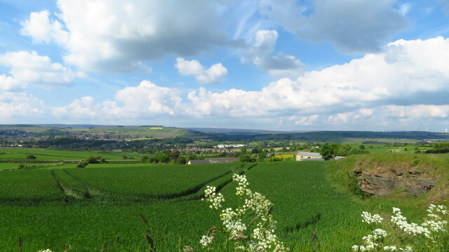
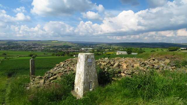
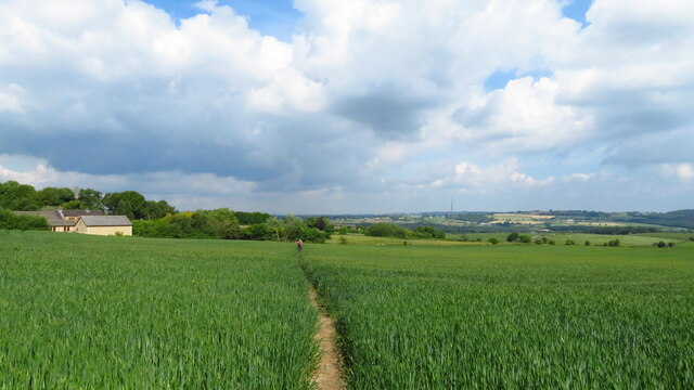
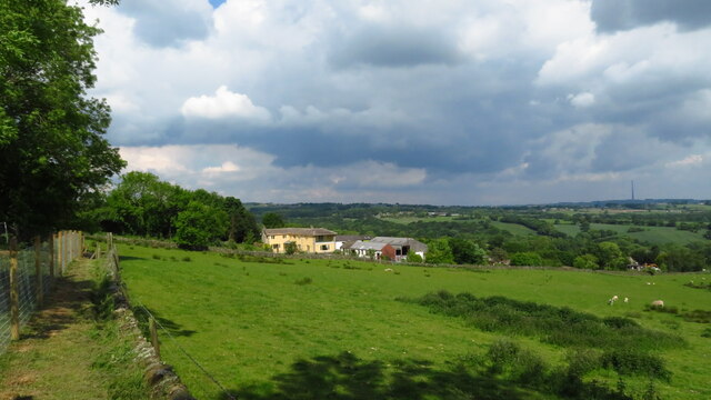
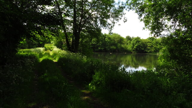
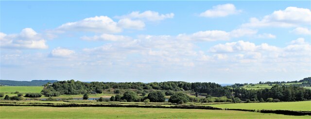
Surrounded by picturesque rolling hills and verdant meadows, Gunthwaite Dam offers a tranquil setting for nature enthusiasts and visitors seeking a peaceful retreat. The calm and clear waters of the reservoir attract a variety of wildlife, making it an ideal spot for birdwatching and wildlife observation.

The dam provides a habitat for a diverse range of bird species, including ducks, swans, and herons, which can often be seen gracefully gliding across the surface of the water. The surrounding vegetation, including reeds and willow trees, provides nesting sites and shelter for these birds.

The area around the dam consists of a combination of lake, pool, pond, and freshwater marsh habitats. This diversity of habitats supports a rich ecosystem, with numerous aquatic plants and invertebrates thriving in the shallow and marshy areas. This, in turn, attracts a variety of fish species, such as perch and roach, which can be observed by keen anglers.

Gunthwaite Dam offers a range of recreational activities for visitors, including fishing, boating, and picnicking. There are designated fishing spots along the banks of the reservoir, providing anglers with the opportunity to catch freshwater fish. Boating enthusiasts can enjoy leisurely rides on the calm waters, while families can relax and enjoy picnics in the idyllic surroundings.

In summary, Gunthwaite Dam is a picturesque freshwater reservoir located in Yorkshire, England, serving as a water source for the local community. With its diverse habitats and abundant wildlife, it offers a peaceful retreat and a range of recreational activities for visitors to enjoy.

If you have any feedback on the listing, please let us know in the comments section below.

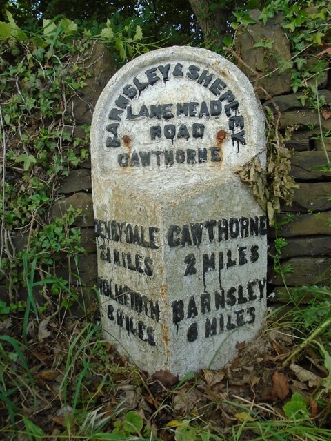
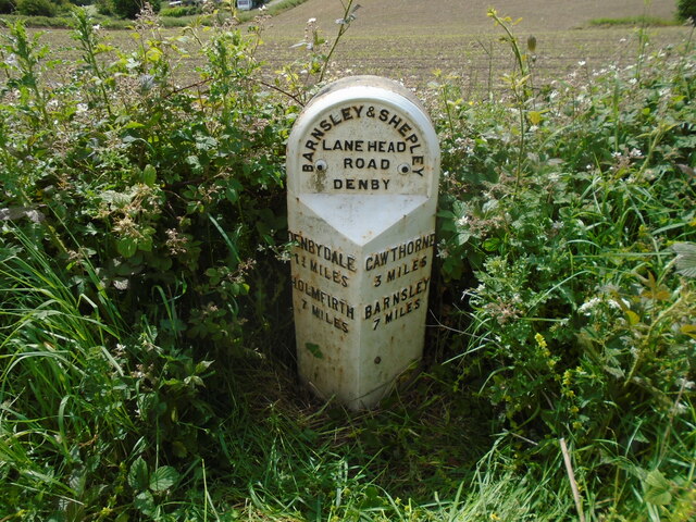
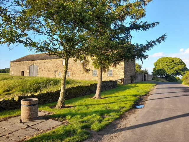
Gunthwaite Dam Images

Images are sourced within 2km of 53.551143/-1.6312923 or Grid Reference SE2406. Thanks to Geograph Open Source API. All images are credited.

Old milestone The 6 miles from Barnsley, late 19C West Riding CC, milestone is just west of Coach Gate Lane which leads to the ancient Gunthwaite Hall.   It is on a very narrow verge almost at the Barnsley/Kirklees boundary.  Not well painted but in a very difficult place to work.  It is Grade II listed 1314730.
Old milestone
The 6 miles from Barnsley, late 19C West Riding CC, milestone is just west of Coach Gate Lane which leads to the ancient Gunthwaite Hall. It is on a very narrow verge almost at the Barnsley/Kirklees boundary. Not well painted but in a very difficult place to work. It is Grade II listed 1314730.
Old milestone Vegetation had to be cleared to reveal this West Riding CC milestone.  It is one of 615 set up in 1893/94 for the newly formed West Riding Council all over its extensive 'territory' from Sedbergh in the north west to south of Rotherham and over the Pennines into Saddleworth.   Over half are still in situ.  It is on the south side of the A635 between Denby Lane and Lower Denby Lane.
Old milestone
Vegetation had to be cleared to reveal this West Riding CC milestone. It is one of 615 set up in 1893/94 for the newly formed West Riding Council all over its extensive 'territory' from Sedbergh in the north west to south of Rotherham and over the Pennines into Saddleworth. Over half are still in situ. It is on the south side of the A635 between Denby Lane and Lower Denby Lane.
Old milestone A view of the milestone on the A635 between Denby Lane and Low Denby Lane before the grass had been trodden down.  Grade II listed 1135324.
Old milestone
A view of the milestone on the A635 between Denby Lane and Low Denby Lane before the grass had been trodden down. Grade II listed 1135324.
Old milestone The tollroad from Huddersfield to Penistone leaves West Yorkshire just north of Ingbirchworth on the A629.   It enters South Yorkshire and dips down into the town on the B6462, still called Huddersfield Road.   This original tollroad stone 12 miles from Huddersfield is at the top of the hill above the Grammar School.   Grade II listed 1315077.
Old milestone
The tollroad from Huddersfield to Penistone leaves West Yorkshire just north of Ingbirchworth on the A629. It enters South Yorkshire and dips down into the town on the B6462, still called Huddersfield Road. This original tollroad stone 12 miles from Huddersfield is at the top of the hill above the Grammar School. Grade II listed 1315077.
Farm Buildings, Papist Hill Note the fine concrete bin.
Farm Buildings, Papist Hill
Note the fine concrete bin.
View towards Penistone from Hoylandswaine Trig Point
Hoylandswaine trig point and view over Penistone
On the path from Hoylandswaine towards Renald Lane
On path leading west towards Cat Hill Farm, Cat Hill
Gunthwaite Dam near Upper Denby
Track leading West towards Gunthwaite Hall
Gunthwaite Hall Barn near Upper Denby
Gunthwaite Hall Barn near Upper Denby The barn at Gunthwaite Hall was built in the middle of the 16th century, for Godfrey Bosvile (1520-80) lord of the manors of Gunthwaite and Oxpring. It is a northern aisled barn with a low pitched roof, stone walls up to three-quarter height and then timber framing to the eaves. There are some fine tudor doorways for pedestrian access as well as two large wagon doors on each side.
The barn is eleven bays long and now divided in two. Otherwise it is more or less unaltered except for repairs. It is still in agricultural use, being used for animal shelter and crop storage.
Gunthwaite Hall Barn near Upper Denby
The barn at Gunthwaite Hall was built in the middle of the 16th century, for Godfrey Bosvile (1520-80) lord of the manors of Gunthwaite and Oxpring. It is a northern aisled barn with a low pitched roof, stone walls up to three-quarter height and then timber framing to the eaves. There are some fine tudor doorways for pedestrian access as well as two large wagon doors on each side. The barn is eleven bays long and now divided in two. Otherwise it is more or less unaltered except for repairs. It is still in agricultural use, being used for animal shelter and crop storage.
Scout Dike Reservoir
Trig point at Hunger Hill near Hoylandswaine Looking east towards transmitter in same square.
Trig point at Hunger Hill near Hoylandswaine
Looking east towards transmitter in same square.
Gunthwaite Barn This is an eleven-bay aisled barn 50m long, with timber-framing on a stone base.  It is at Gunthwaite Hall at SE238065, and was built between 1500 and 1550.
Gunthwaite Barn
This is an eleven-bay aisled barn 50m long, with timber-framing on a stone base. It is at Gunthwaite Hall at SE238065, and was built between 1500 and 1550.
Gunthwaite Spa This is a strongly tasting spring that is supposed to have healing qualities and was at one time blessed annually by religious leaders from Wakefield, Doncaster and Pontefract.
Gunthwaite Spa
This is a strongly tasting spring that is supposed to have healing qualities and was at one time blessed annually by religious leaders from Wakefield, Doncaster and Pontefract.
Show me another place!

Gunthwaite Dam is located at Grid Ref: SE2406 (Lat: 53.551143, Lng: -1.6312923)

Division: West Riding

Unitary Authority: Barnsley

Police Authority: South Yorkshire

What 3 Words

///effort.march.mourner. Near Penistone, South Yorkshire

Related Wikis

Gunthwaite

Gunthwaite is a hamlet in the Metropolitan Borough of Barnsley in South Yorkshire, England. It is in the civil parish of Gunthwaite and Ingbirchworth and...

Gunthwaite and Ingbirchworth

Gunthwaite and Ingbirchworth is a civil parish in the Barnsley district, in the county of South Yorkshire, England. It contains the hamlet of Gunthwaite...

Upper Denby

Upper Denby is a small village within the civil parish of Denby Dale, and the borough of Kirklees in West Yorkshire, England. Lying 11 miles (17 km) to...

Penistone Grammar School

Penistone Grammar School (PGS) is a co-educational secondary school and sixth form located in Penistone, South Yorkshire, England.Founded in 1392, it is...

Nearby Amenities

Located within 500m of 53.551143,-1.6312923
Gunthwaite Spa
Natural: spring
Lat/Long: 53.5515033/-1.6341068
Board Type: history
Information: board
Operator: Gunthwaite & Ingbirchworth Parish Council
Source: survey
Tourism: information
Lat/Long: 53.5518899/-1.6315162
Barrier: stile
Lat/Long: 53.5518532/-1.6276108
Barrier: stile
Stile: stepover
Lat/Long: 53.5525332/-1.6247133
Barrier: stile
Stile: stepover
Lat/Long: 53.5517392/-1.6276575
Bench
Backrest: yes
Lat/Long: 53.5523113/-1.6260711
Parking
Capacity Disabled: 3
Parking: street_side
Lat/Long: 53.5516893/-1.6316292
Parking
Access: permissive
Capacity: 3
Parking: surface
Surface: ground
Lat/Long: 53.5515288/-1.6300943
Barrier: stile
Stile: stepover
Lat/Long: 53.5514072/-1.6279855
Parking
Capacity: 5
Parking: street_side
Lat/Long: 53.5515078/-1.6337271
Barrier: stile
Material: wood
Step Count: 2
Stile: stepover
Lat/Long: 53.5511984/-1.6382958
Gunthwaite Dam
Access: private
Fishing: yes
Leisure: fishing
Lat/Long: 53.5511442/-1.6304496
The data included in this document is from www.openstreetmap.org. The data is made available under ODbL.

Have you been to Gunthwaite Dam?

Leave your review of Gunthwaite Dam below (or comments, questions and feedback).