Broad Oak

Heritage Site in Yorkshire

England

Broad Oak

Old milestone The 6 miles from Barnsley, late 19C West Riding CC, milestone is just west of Coach Gate Lane which leads to the ancient Gunthwaite Hall.   It is on a very narrow verge almost at the Barnsley/Kirklees boundary.  Not well painted but in a very difficult place to work.  It is Grade II listed 1314730.
Old milestone Credit: Chris Minto

Broad Oak is a small village located in the county of Yorkshire, England. Situated in the scenic countryside, it is renowned for its rich historical and cultural heritage, making it a popular destination for tourists and history enthusiasts alike.

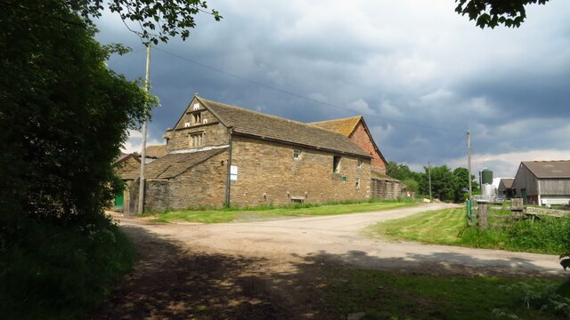
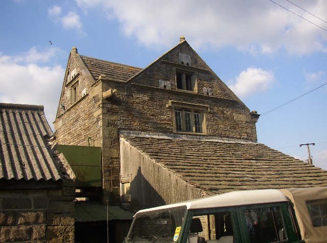
The village is home to several heritage sites that offer a glimpse into its past. One such site is the Broad Oak Manor, a stunning 17th-century manor house that has been meticulously preserved over the years. Visitors can explore the grand architecture, intricate woodwork, and beautifully landscaped gardens, providing a fascinating insight into the lifestyle of the aristocracy during that era.

Another notable attraction in Broad Oak is the St. Mary's Church, a charming medieval church dating back to the 12th century. This historical place of worship boasts remarkable stained glass windows, ancient stone carvings, and a peaceful atmosphere that invites contemplation and reflection.

The village is also known for its quaint cottages, which showcase traditional Yorkshire architecture. These picturesque houses, with their thatched roofs and cobblestone pathways, contribute to the village's charm and create a nostalgic ambiance for visitors.

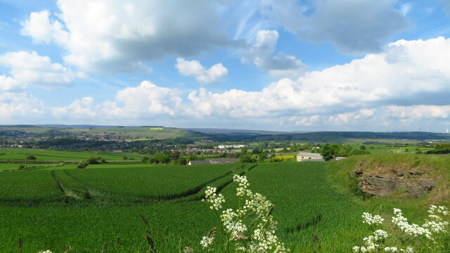
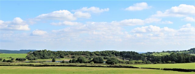
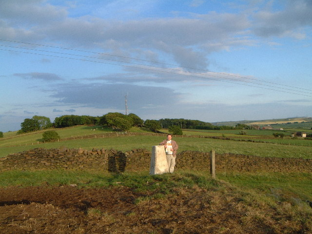
Furthermore, Broad Oak offers stunning natural beauty, with rolling hills, lush green fields, and scenic walking trails. It is the ideal place for nature lovers to explore and experience the tranquility of the countryside.

In conclusion, Broad Oak, Yorkshire, is a delightful heritage site that combines historical charm, architectural beauty, and natural splendor. Whether one is interested in history, culture, or simply seeking a peaceful retreat, this village has something to offer for everyone.

If you have any feedback on the listing, please let us know in the comments section below.
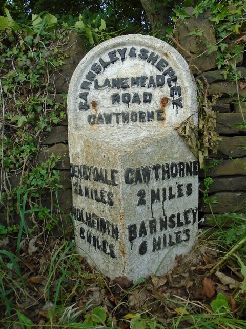
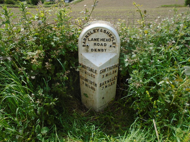
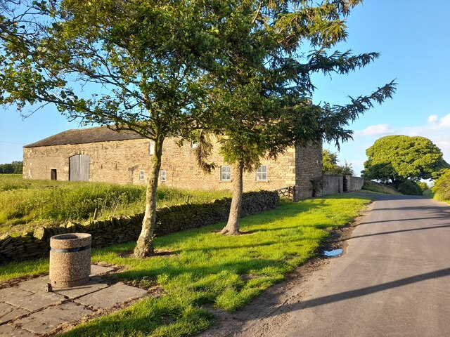
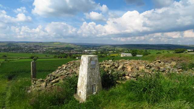
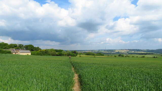
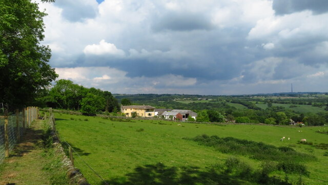
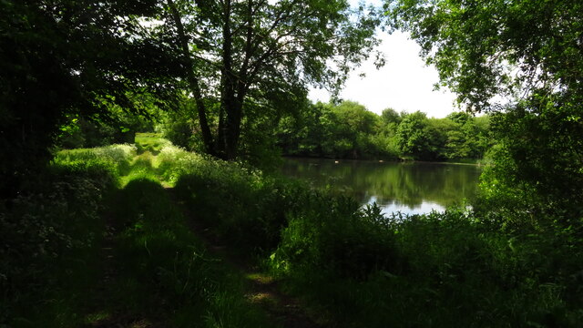
Broad Oak Images

Images are sourced within 2km of 53.553/-1.63 or Grid Reference SE2406. Thanks to Geograph Open Source API. All images are credited.

Old milestone The 6 miles from Barnsley, late 19C West Riding CC, milestone is just west of Coach Gate Lane which leads to the ancient Gunthwaite Hall.   It is on a very narrow verge almost at the Barnsley/Kirklees boundary.  Not well painted but in a very difficult place to work.  It is Grade II listed 1314730.
Old milestone
The 6 miles from Barnsley, late 19C West Riding CC, milestone is just west of Coach Gate Lane which leads to the ancient Gunthwaite Hall. It is on a very narrow verge almost at the Barnsley/Kirklees boundary. Not well painted but in a very difficult place to work. It is Grade II listed 1314730.
Old milestone Vegetation had to be cleared to reveal this West Riding CC milestone.  It is one of 615 set up in 1893/94 for the newly formed West Riding Council all over its extensive 'territory' from Sedbergh in the north west to south of Rotherham and over the Pennines into Saddleworth.   Over half are still in situ.  It is on the south side of the A635 between Denby Lane and Lower Denby Lane.
Old milestone
Vegetation had to be cleared to reveal this West Riding CC milestone. It is one of 615 set up in 1893/94 for the newly formed West Riding Council all over its extensive 'territory' from Sedbergh in the north west to south of Rotherham and over the Pennines into Saddleworth. Over half are still in situ. It is on the south side of the A635 between Denby Lane and Lower Denby Lane.
Old milestone A view of the milestone on the A635 between Denby Lane and Low Denby Lane before the grass had been trodden down.  Grade II listed 1135324.
Old milestone
A view of the milestone on the A635 between Denby Lane and Low Denby Lane before the grass had been trodden down. Grade II listed 1135324.
Farm Buildings, Papist Hill Note the fine concrete bin.
Farm Buildings, Papist Hill
Note the fine concrete bin.
View towards Penistone from Hoylandswaine Trig Point
Hoylandswaine trig point and view over Penistone
On the path from Hoylandswaine towards Renald Lane
On path leading west towards Cat Hill Farm, Cat Hill
Gunthwaite Dam near Upper Denby
Track leading West towards Gunthwaite Hall
Gunthwaite Hall Barn near Upper Denby
Gunthwaite Hall Barn near Upper Denby The barn at Gunthwaite Hall was built in the middle of the 16th century, for Godfrey Bosvile (1520-80) lord of the manors of Gunthwaite and Oxpring. It is a northern aisled barn with a low pitched roof, stone walls up to three-quarter height and then timber framing to the eaves. There are some fine tudor doorways for pedestrian access as well as two large wagon doors on each side.
The barn is eleven bays long and now divided in two. Otherwise it is more or less unaltered except for repairs. It is still in agricultural use, being used for animal shelter and crop storage.
Gunthwaite Hall Barn near Upper Denby
The barn at Gunthwaite Hall was built in the middle of the 16th century, for Godfrey Bosvile (1520-80) lord of the manors of Gunthwaite and Oxpring. It is a northern aisled barn with a low pitched roof, stone walls up to three-quarter height and then timber framing to the eaves. There are some fine tudor doorways for pedestrian access as well as two large wagon doors on each side. The barn is eleven bays long and now divided in two. Otherwise it is more or less unaltered except for repairs. It is still in agricultural use, being used for animal shelter and crop storage.
Scout Dike Reservoir
Trig point at Hunger Hill near Hoylandswaine Looking east towards transmitter in same square.
Trig point at Hunger Hill near Hoylandswaine
Looking east towards transmitter in same square.
Gunthwaite Barn This is an eleven-bay aisled barn 50m long, with timber-framing on a stone base.  It is at Gunthwaite Hall at SE238065, and was built between 1500 and 1550.
Gunthwaite Barn
This is an eleven-bay aisled barn 50m long, with timber-framing on a stone base. It is at Gunthwaite Hall at SE238065, and was built between 1500 and 1550.
Gunthwaite Spa This is a strongly tasting spring that is supposed to have healing qualities and was at one time blessed annually by religious leaders from Wakefield, Doncaster and Pontefract.
Gunthwaite Spa
This is a strongly tasting spring that is supposed to have healing qualities and was at one time blessed annually by religious leaders from Wakefield, Doncaster and Pontefract.
Farmbuilding adjoining Gunthwaite Hall Barn This was built in 1701 for Godfrey Bosvile. The left side has two part-blocked cart entries from a farmyard. Note the dovecote openings around the window in each gable. For further details and a photo of the side of the building see <span class="nowrap"><a title="http://www.imagesofengland.org.uk/search/details.aspx?pid=1&id=333816" rel="nofollow ugc noopener" href="http://www.imagesofengland.org.uk/search/details.aspx?pid=1&id=333816">Link</a><img style="margin-left:2px;" alt="External link" title="External link - shift click to open in new window" src="https://s1.geograph.org.uk/img/external.png" width="10" height="10"/></span>
Farmbuilding adjoining Gunthwaite Hall Barn
This was built in 1701 for Godfrey Bosvile. The left side has two part-blocked cart entries from a farmyard. Note the dovecote openings around the window in each gable. For further details and a photo of the side of the building see LinkExternal link
Show me another place!

Broad Oak is located at Grid Ref: SE2406 (Lat: 53.553, Lng: -1.63)

Division: West Riding

Unitary Authority: Barnsley

Police Authority: South Yorkshire

What 3 Words

///drifter.airstrip.superhero. Near Penistone, South Yorkshire

Related Wikis

Gunthwaite

Gunthwaite is a hamlet in the Metropolitan Borough of Barnsley in South Yorkshire, England. It is in the civil parish of Gunthwaite and Ingbirchworth and...

Gunthwaite and Ingbirchworth

Gunthwaite and Ingbirchworth is a civil parish in the Barnsley district, in the county of South Yorkshire, England. It contains the hamlet of Gunthwaite...

Upper Denby

Upper Denby is a small village within the civil parish of Denby Dale, and the borough of Kirklees in West Yorkshire, England. Lying 11 miles (17 km) to...

Penistone Grammar School

Penistone Grammar School (PGS) is a co-educational secondary school and sixth form located in Penistone, South Yorkshire, England.Founded in 1392, it is...

Nearby Amenities

Located within 500m of 53.553,-1.63
Gunthwaite Spa
Natural: spring
Lat/Long: 53.5515033/-1.6341068
Board Type: history
Information: board
Operator: Gunthwaite & Ingbirchworth Parish Council
Source: survey
Tourism: information
Lat/Long: 53.5518899/-1.6315162
Barrier: stile
Stile: stepover
Lat/Long: 53.5555718/-1.6286361
Barrier: stile
Lat/Long: 53.5518532/-1.6276108
Barrier: stile
Stile: stepover
Lat/Long: 53.5525332/-1.6247133
Barrier: stile
Stile: stepover
Lat/Long: 53.5517392/-1.6276575
Bench
Backrest: yes
Lat/Long: 53.5523113/-1.6260711
Parking
Capacity Disabled: 3
Parking: street_side
Lat/Long: 53.5516893/-1.6316292
Parking
Access: permissive
Capacity: 3
Parking: surface
Surface: ground
Lat/Long: 53.5515288/-1.6300943
Barrier: stile
Stile: stepover
Lat/Long: 53.5514072/-1.6279855
Parking
Capacity: 5
Parking: street_side
Lat/Long: 53.5515078/-1.6337271
Addr City: Sheffield
Addr Housename: Far Broad Oak Farm Cottage
Addr Postcode: S36 7GE
Addr Street: Broad Oak Lane
Addr Suburb: Gunthwaite
Fixme: The building with this name needs pinpointing.
Lat/Long: 53.5558808/-1.6274332
Gunthwaite Dam
Access: private
Fishing: yes
Leisure: fishing
Lat/Long: 53.5511442/-1.6304496
The data included in this document is from www.openstreetmap.org. The data is made available under ODbL.

Have you been to Broad Oak?

Leave your review of Broad Oak below (or comments, questions and feedback).