Gilt Houll
Coastal Feature, Headland, Point in Shetland
Scotland
Gilt Houll
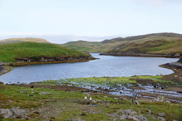
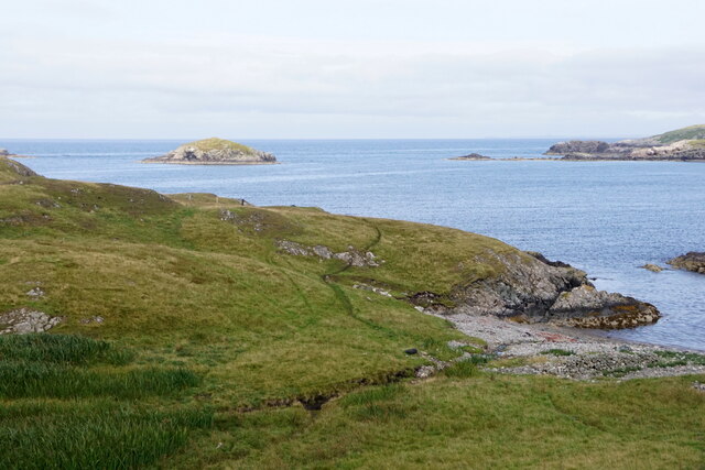
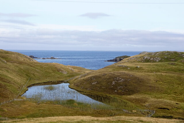
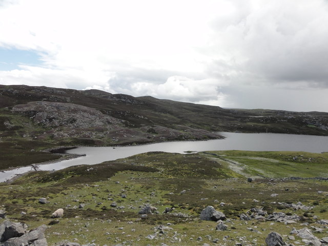
Gilt Houll is a prominent coastal feature located in Shetland, an archipelago situated off the northeast coast of Scotland. It is specifically classified as a headland or point, jutting out into the North Sea. The name "Gilt Houll" derives from the Old Norse language, with "gilt" meaning "gold" and "houll" referring to a small hill or mound.
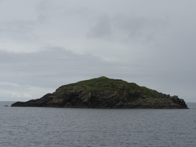
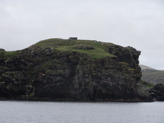
This coastal feature is characterized by its rugged and dramatic cliffs, rising steeply from the sea to a height of approximately 100 meters (330 feet). The cliffs are composed of sedimentary rocks, showcasing layers of sandstone and shale, which have been shaped over millions of years by erosion from the relentless pounding of waves and weathering.
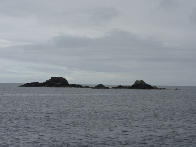
Gilt Houll offers breathtaking panoramic views of the surrounding coastline, providing visitors with a spectacular vantage point to observe the vast expanse of the North Sea. The headland is also home to a diverse range of seabird species, including puffins, guillemots, and fulmars, making it a popular spot for birdwatching enthusiasts.
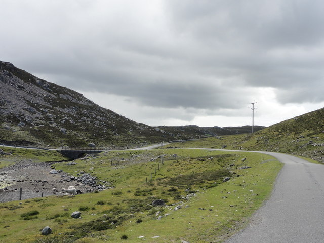
Access to Gilt Houll can be challenging due to its remote location and rugged terrain. However, there are designated walking trails and paths that allow visitors to explore the area safely. Additionally, caution is advised when approaching the cliff edges, as they can be unstable and dangerous.
Overall, Gilt Houll is a stunning coastal feature in Shetland, offering a captivating blend of natural beauty, geological interest, and wildlife diversity.
If you have any feedback on the listing, please let us know in the comments section below.
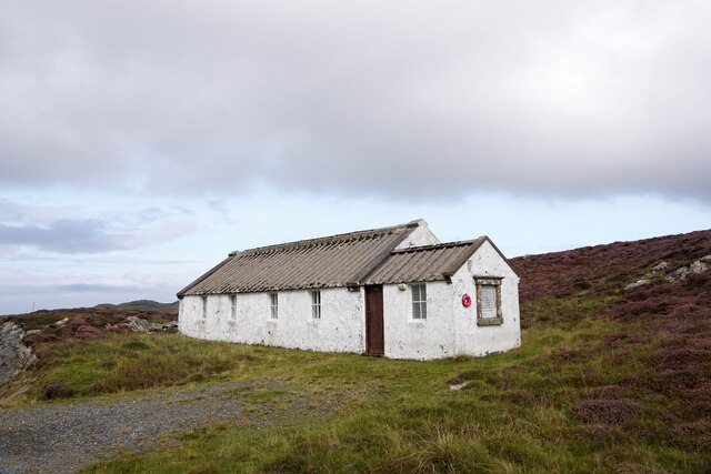
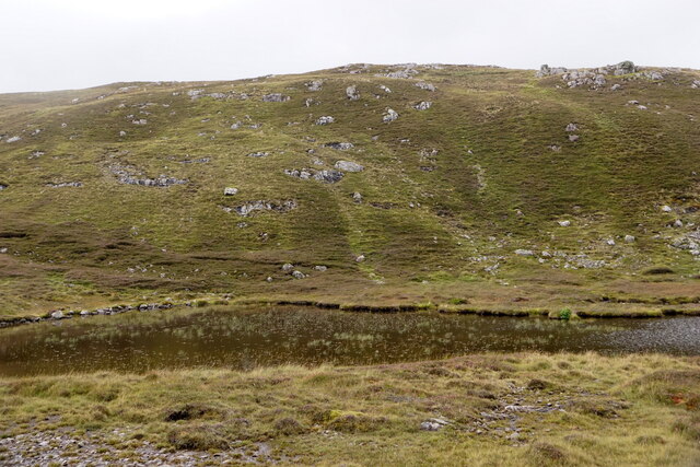
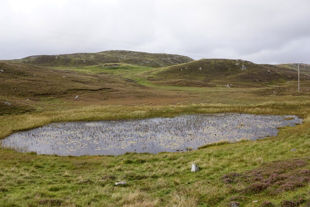
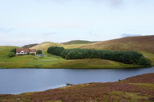
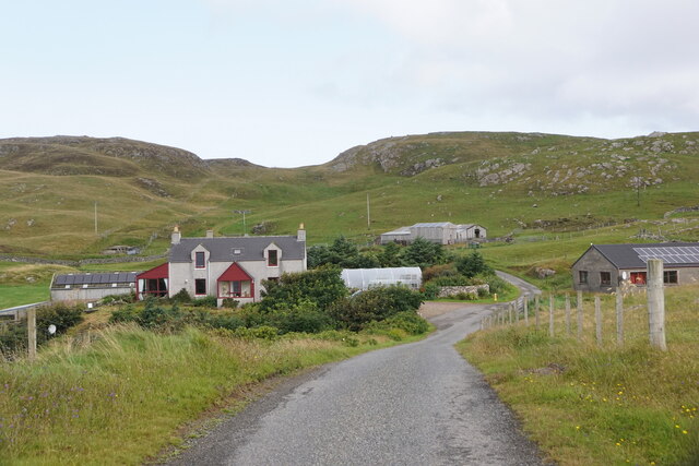
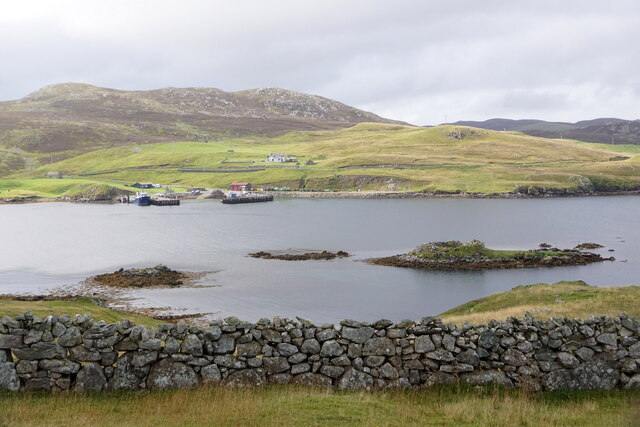
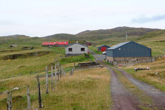
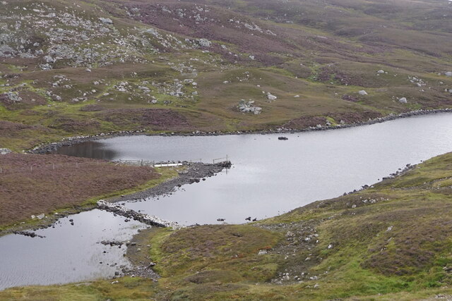
Gilt Houll Images
Images are sourced within 2km of 60.294679/-1.5449769 or Grid Reference HU2556. Thanks to Geograph Open Source API. All images are credited.

Gilt Houll is located at Grid Ref: HU2556 (Lat: 60.294679, Lng: -1.5449769)
Unitary Authority: Shetland Islands
Police Authority: Highlands and Islands
What 3 Words
///computers.limes.arranges. Near Walls, Shetland Islands
Nearby Locations
Related Wikis

Broch of West Burrafirth
The Broch of West Burrafirth is an Iron Age broch located on the west side of Mainland, Shetland (grid reference HU25625720). == Location == The broch...

Brindister, West Mainland
Brindister is a settlement on the West Mainland of Shetland, Scotland. It is within the parish of Sandsting, and on the western shore of Brindister Voe...

Bousta
Bousta is a settlement on Mainland, in Shetland, Scotland. Bousta is situated in the parish of Walls and Sandness.Scott's Hawkweed is native to the pastures...

Scord of Brouster
The Scord of Brouster is one of the earliest Neolithic farm sites in Shetland, Scotland. It has been dated to 2220 BC with a time window of 80 years on...

West Mainland
The West Mainland of the Shetland Islands is the part of the Shetland Mainland lying west of Aith (1° 23′ W). == Geography == Points of interest include...

Vementry
Vementry (Old Norse: "Vemunðarey") is an uninhabited Scottish island in Shetland on the north side of the West Mainland, lying south of Muckle Roe. �...

Sandness
Sandness (the "d" is not pronounced locally) is a headland and district in the west of Shetland Mainland, Scotland. Sandness was a civil parish, which...

Clousta
Clousta is a hamlet on Mainaland, in the island's west, Shetland, Scotland. Approximately seventy people live here, many of whom are commuters, but local...
Nearby Amenities
Located within 500m of 60.294679,-1.5449769Have you been to Gilt Houll?
Leave your review of Gilt Houll below (or comments, questions and feedback).