Stormy Point
Coastal Feature, Headland, Point in Cheshire
England
Stormy Point

Stormy Point is a prominent coastal feature located in the county of Cheshire, England. As a headland and point, it extends into the Irish Sea, offering breathtaking views and a unique natural environment. Situated near the town of Chester, Stormy Point is a popular destination for locals and tourists alike.
The headland is characterized by its rugged cliffs, which rise majestically from the sea, creating an imposing and dramatic landscape. The cliffs are composed of sedimentary rocks, predominantly sandstone and shale, displaying layers of different colors and textures. These geological features make Stormy Point an important site for geological studies and research.
The point is known for its wild and untamed beauty, with strong winds and crashing waves adding to its allure. The exposed location makes Stormy Point a perfect spot for birdwatching, as it attracts a wide variety of seabirds, including gulls, cormorants, and puffins. The surrounding waters are also home to a diverse range of marine life, providing ample opportunities for fishing and other water-based activities.
The area around Stormy Point is rich in flora and fauna, with wildflowers and grasses covering the cliff tops. The headland is also home to a number of rare plant species, adding to its ecological significance. Visitors to Stormy Point can enjoy coastal walks along well-maintained footpaths, taking in the stunning views and immersing themselves in the natural beauty of the area.
Overall, Stormy Point is a captivating coastal feature, offering a unique combination of geological, ecological, and scenic attractions. Its rugged cliffs, diverse wildlife, and stunning vistas make it an ideal destination for nature enthusiasts and those seeking a peaceful escape by the sea.
If you have any feedback on the listing, please let us know in the comments section below.
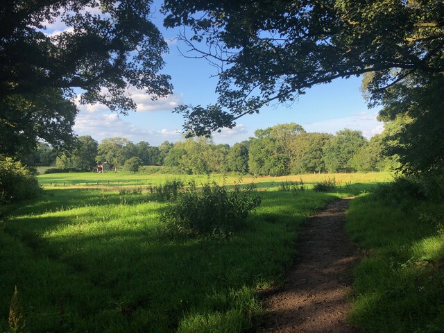
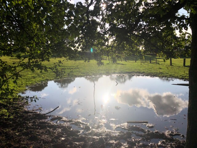
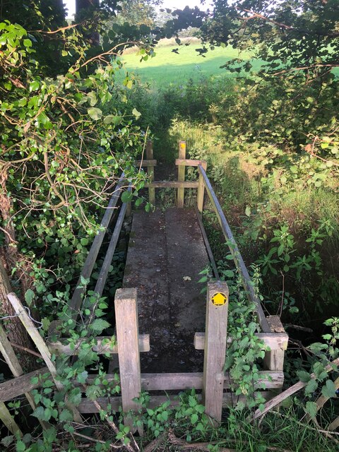
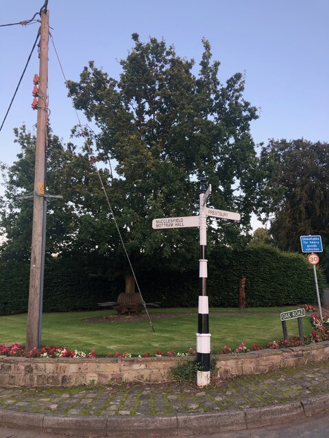
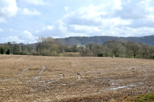
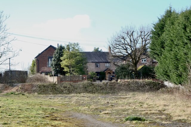
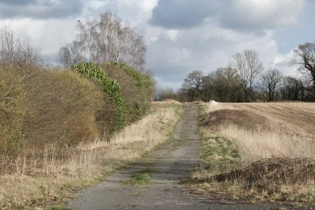
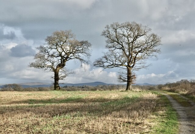
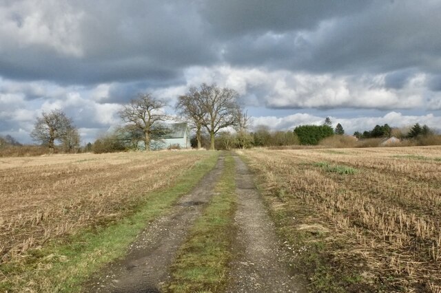
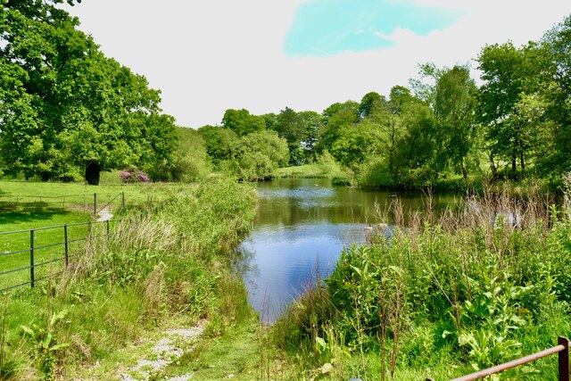
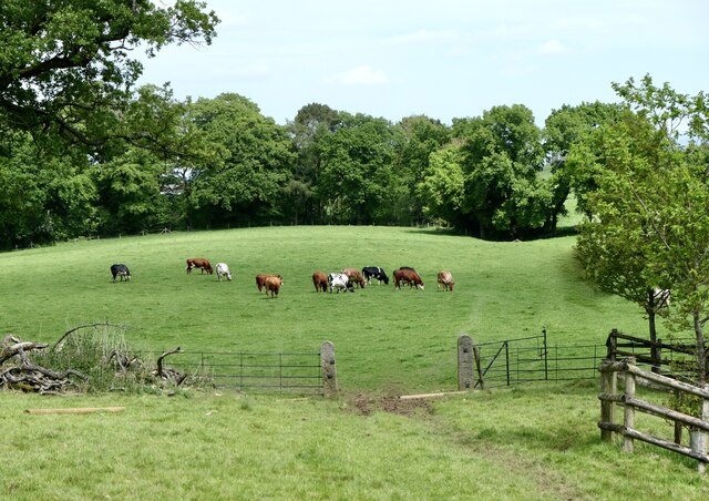
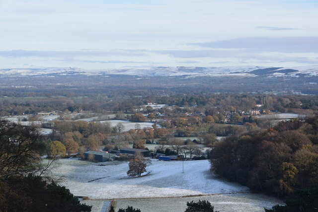
Stormy Point Images
Images are sourced within 2km of 53.297795/-2.2110943 or Grid Reference SJ8677. Thanks to Geograph Open Source API. All images are credited.


Stormy Point is located at Grid Ref: SJ8677 (Lat: 53.297795, Lng: -2.2110943)
Unitary Authority: Cheshire East
Police Authority: Cheshire
What 3 Words
///stands.sank.economies. Near Alderley Edge, Cheshire
Nearby Locations
Related Wikis

Geology of Alderley Edge
One of the classic locations for the study of Triassic sandstones in the UK is at Alderley Edge in Cheshire. Numerous scientists from the early 19th century...

Alderley Edge Mines
The Alderley Edge Mines are located on the escarpment in Alderley Edge, Cheshire. Archaeological evidence indicates that copper mining took place here...
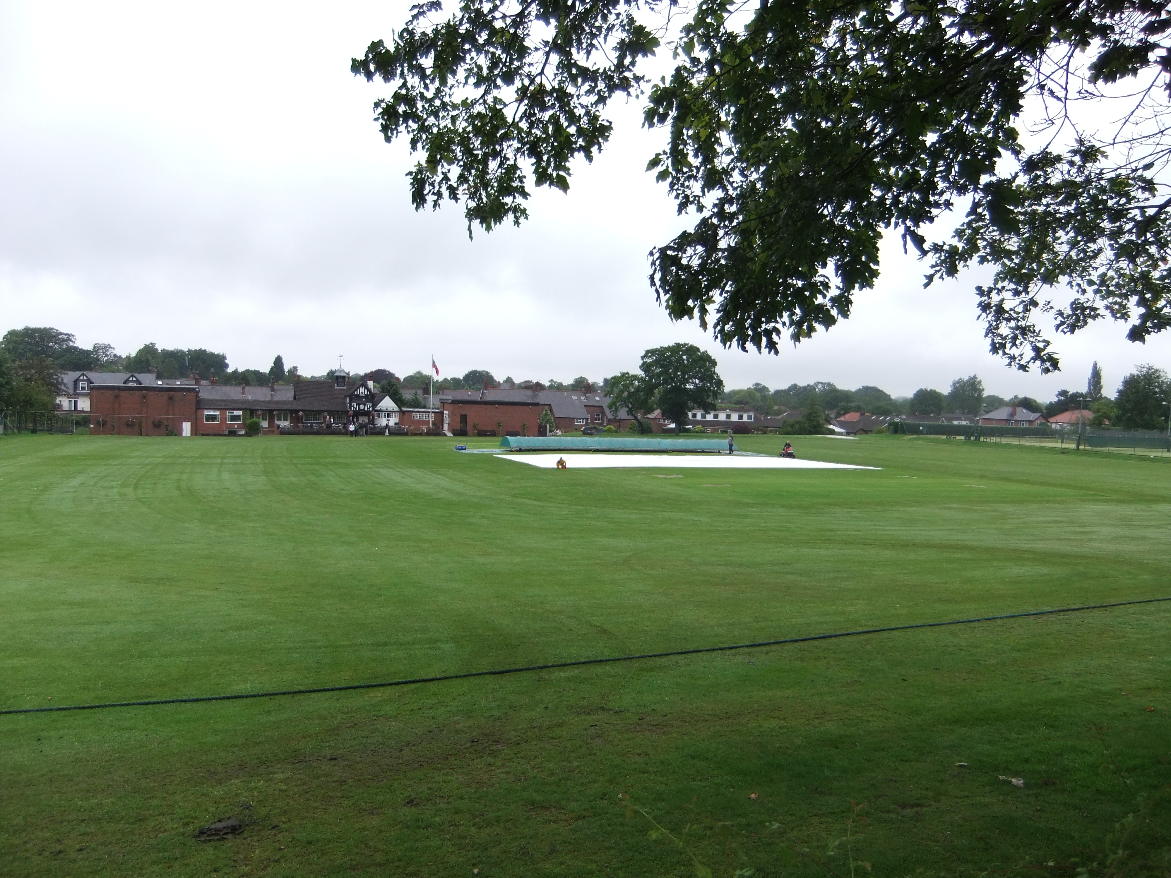
Moss Lane, Alderley Edge
Moss Lane is a cricket ground in Moss Lane, Alderley Edge, Cheshire. The ground is surrounded on all four sides by residential housing. The ground is used...

Mottram St Andrew
Mottram St Andrew is a village and civil parish in Cheshire, England. At the 2011 census, it had a population of 493. An affluent village in the Cheshire...

Alderley Edge Methodist Church
Alderley Edge Methodist Church is in Chapel Road, Alderley Edge, Cheshire, England. It is an active Methodist church. The church and its associated hall...

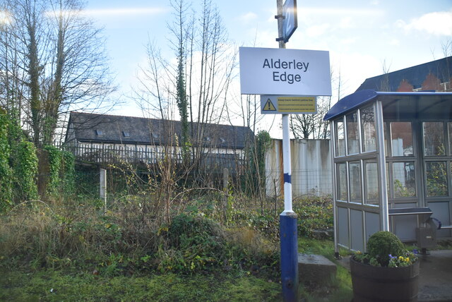
Alderley Edge
Alderley Edge is a village and civil parish in Cheshire, England. In 2011, it had a population of 4,780. Alderley Edge is 6 miles (10 km) northwest of...

Alderley Edge Urban District
Alderley Edge is a former Urban District in Cheshire, based in the village of Alderley Edge. It was created in 1894 and abolished in 1974 when it was incorporated...

Hare Hill
Hare Hill Hall is a country house and a garden in the parish of Over Alderley, Cheshire, England. The house and grounds are privately owned, and the separate...
Nearby Amenities
Located within 500m of 53.297795,-2.2110943Have you been to Stormy Point?
Leave your review of Stormy Point below (or comments, questions and feedback).