Dickens Wood
Wood, Forest in Cheshire
England
Dickens Wood
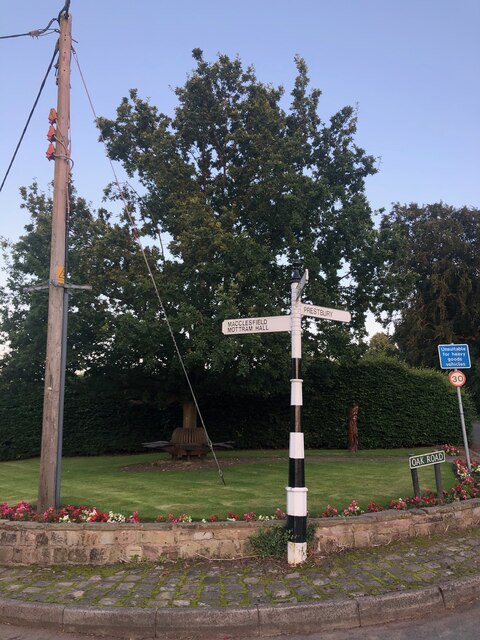
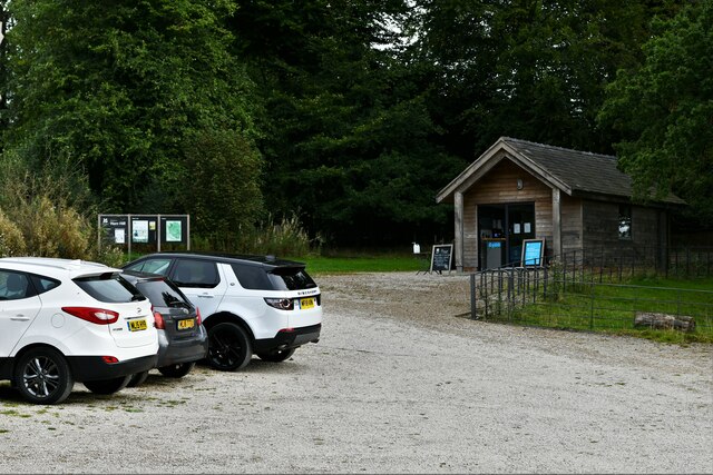
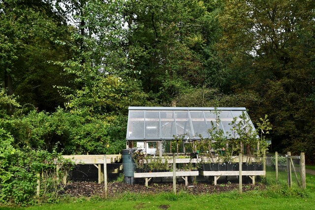
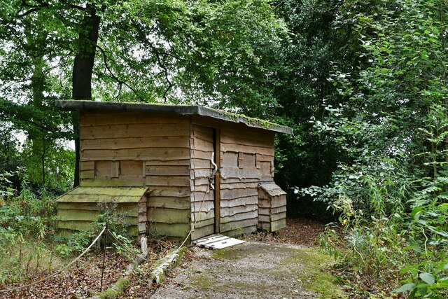
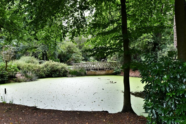
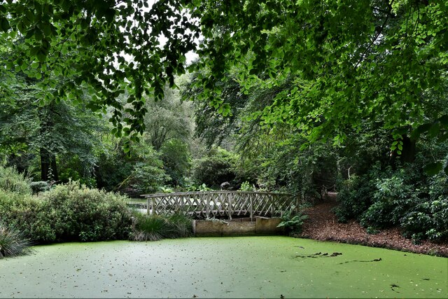
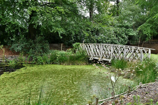
Dickens Wood is a picturesque woodland located in the county of Cheshire, England. Covering an area of approximately 100 acres, this enchanting forest is renowned for its natural beauty and rich biodiversity. Situated near the village of Dickens, the wood is easily accessible, making it a popular destination for locals and tourists alike.
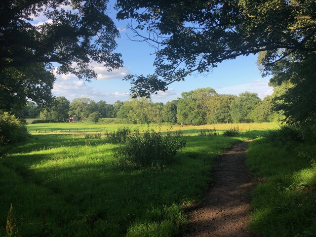
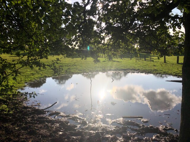
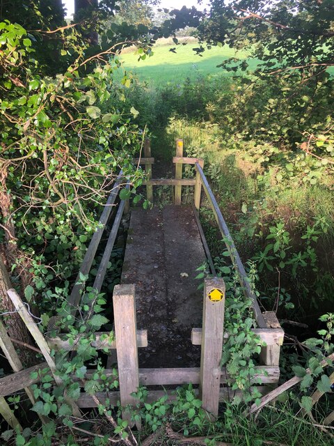
The woodland is characterized by its dense canopy of towering oak, beech, and ash trees, which create a serene and peaceful atmosphere. A network of well-maintained trails winds through the forest, allowing visitors to explore its depths and discover the hidden treasures it holds. These trails are suitable for walkers of all abilities and offer stunning vistas of the surrounding countryside.
One of the main attractions of Dickens Wood is its diverse wildlife. The forest is home to a variety of bird species, including woodpeckers, owls, and songbirds, making it a haven for birdwatchers. In addition, the wood provides a habitat for mammals such as deer, foxes, and squirrels, which can often be spotted during a leisurely stroll.
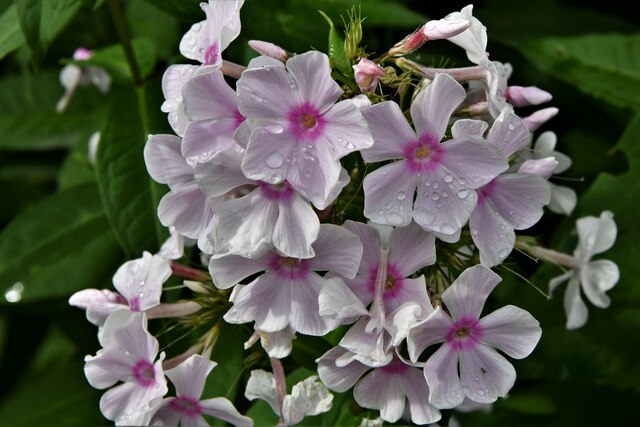
Throughout the year, Dickens Wood showcases a vibrant display of seasonal flora. In spring, the forest floor is carpeted with bluebells and primroses, creating a stunning tapestry of colors. In autumn, the foliage transforms into a kaleidoscope of reds, yellows, and oranges, offering a breathtaking spectacle.
For those seeking tranquility and a connection with nature, Dickens Wood in Cheshire is a true gem. Its captivating beauty, diverse wildlife, and well-maintained trails make it an ideal destination for nature enthusiasts and those looking to escape the hustle and bustle of everyday life.
If you have any feedback on the listing, please let us know in the comments section below.
Dickens Wood Images
Images are sourced within 2km of 53.297289/-2.207791 or Grid Reference SJ8677. Thanks to Geograph Open Source API. All images are credited.


Dickens Wood is located at Grid Ref: SJ8677 (Lat: 53.297289, Lng: -2.207791)
Unitary Authority: Cheshire East
Police Authority: Cheshire
What 3 Words
///grafted.crispy.waffle. Near Mottram St Andrew, Cheshire
Nearby Locations
Related Wikis

Geology of Alderley Edge
One of the classic locations for the study of Triassic sandstones in the UK is at Alderley Edge in Cheshire. Numerous scientists from the early 19th century...

Alderley Edge Mines
The Alderley Edge Mines are located on the escarpment in Alderley Edge, Cheshire. Archaeological evidence indicates that copper mining took place here...

Mottram St Andrew
Mottram St Andrew is a village and civil parish in Cheshire, England. At the 2011 census, it had a population of 493. An affluent village in the Cheshire...
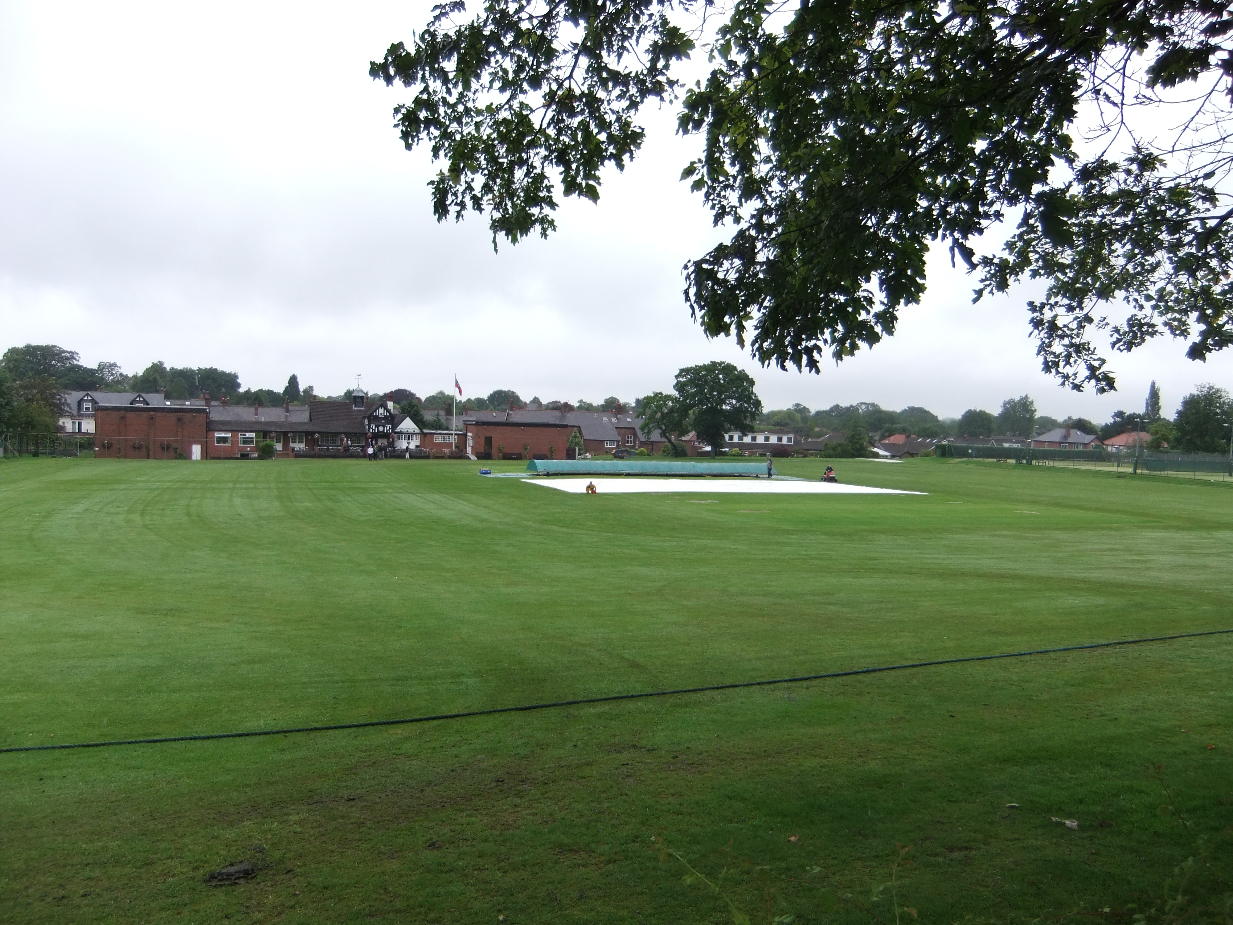
Moss Lane, Alderley Edge
Moss Lane is a cricket ground in Moss Lane, Alderley Edge, Cheshire. The ground is surrounded on all four sides by residential housing. The ground is used...

Hare Hill
Hare Hill Hall is a country house and a garden in the parish of Over Alderley, Cheshire, England. The house and grounds are privately owned, and the separate...

Over Alderley
Over Alderley is a civil parish in Cheshire, England. It had a population of 318 at the 2011 Census.It includes the hamlets of Adders Moss, Adshead Green...
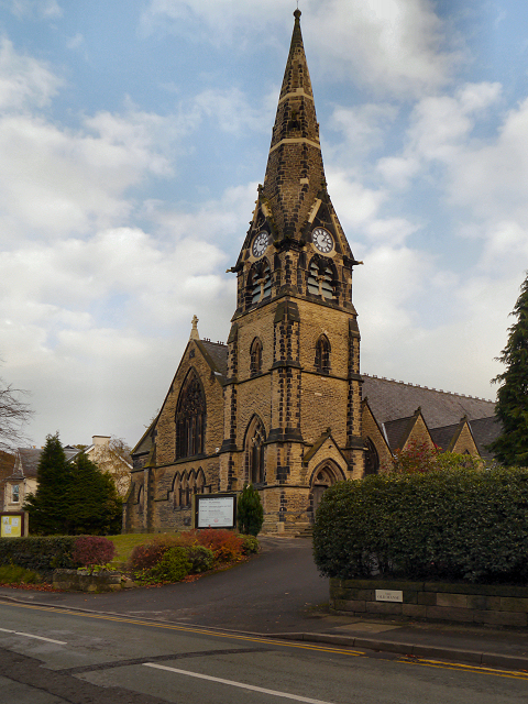
Alderley Edge Methodist Church
Alderley Edge Methodist Church is in Chapel Road, Alderley Edge, Cheshire, England. It is an active Methodist church. The church and its associated hall...

Alderley Edge
Alderley Edge is a village and civil parish in Cheshire, England. In 2011, it had a population of 4,780. Alderley Edge is 6 miles (10 km) northwest of...
Nearby Amenities
Located within 500m of 53.297289,-2.207791Have you been to Dickens Wood?
Leave your review of Dickens Wood below (or comments, questions and feedback).