Alderley Edge
Heritage Site in Cheshire
England
Alderley Edge

Alderley Edge is a small village located in Cheshire, England, renowned for its historical and natural significance. Situated on a sandstone ridge, it offers breathtaking views of the surrounding countryside and is considered a designated heritage site. The village is known for its rich history, dating back to the Bronze Age, evident through the discovery of ancient burial mounds and artifacts.
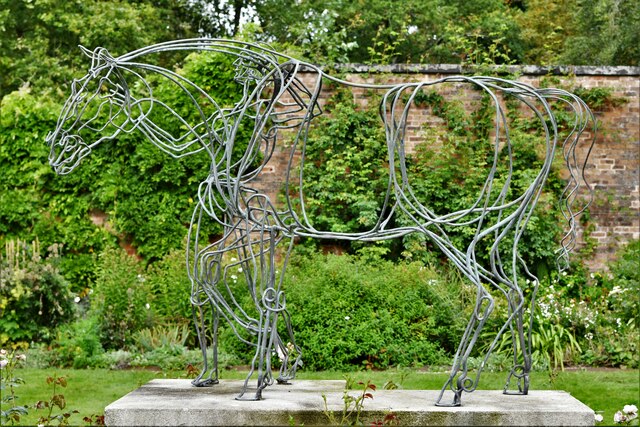
One of the highlights of Alderley Edge is its magical legends and folklore. The village is famous for its association with the legend of the Wizard of Alderley Edge. According to the story, a farmer encountered a wizard who offered him the choice between a treasure or his white horse. The farmer chose the horse and witnessed it transform into a beautiful woman who guided him to a secret cave containing a trove of treasure. This tale has captured the imagination of locals and visitors alike, making Alderley Edge a popular destination for those intrigued by folklore.
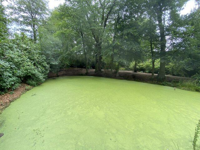
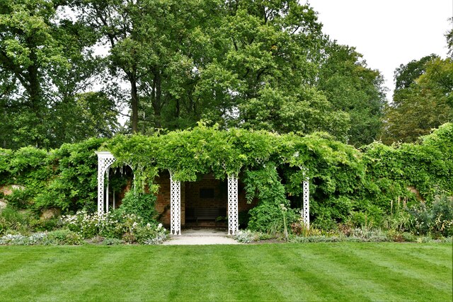
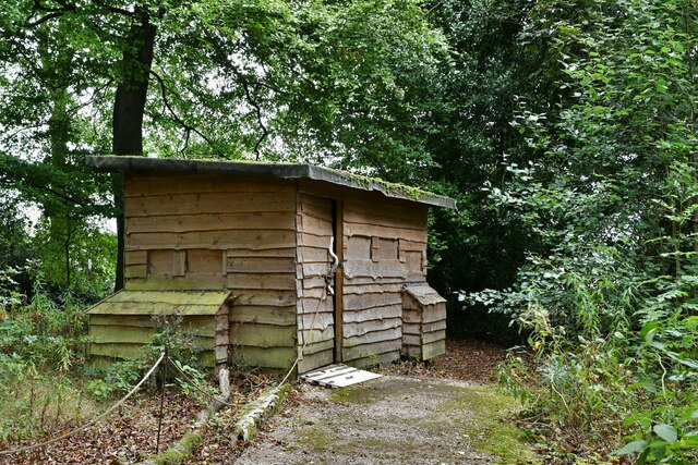
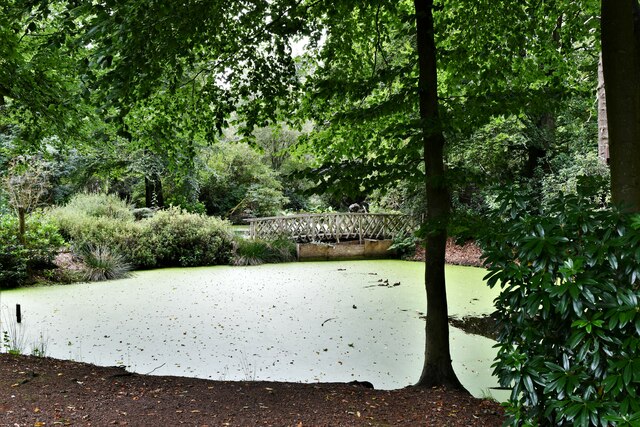
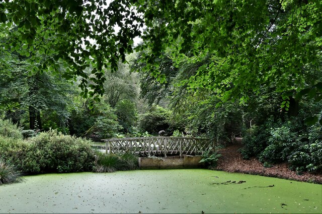
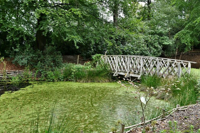
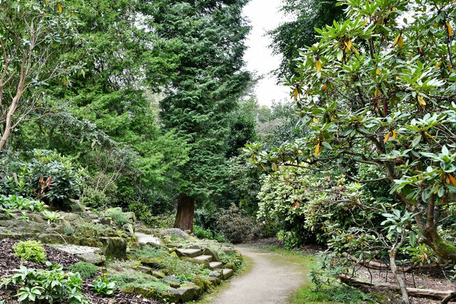
Aside from its enchanting legends, Alderley Edge offers a variety of natural attractions. The area is abundant in wildlife, and the surrounding woodlands provide a serene environment for leisurely walks and nature exploration. The sandstone cliffs, known as the Edge, offer stunning views of the Cheshire Plain, and it is a popular spot for rock climbing enthusiasts.
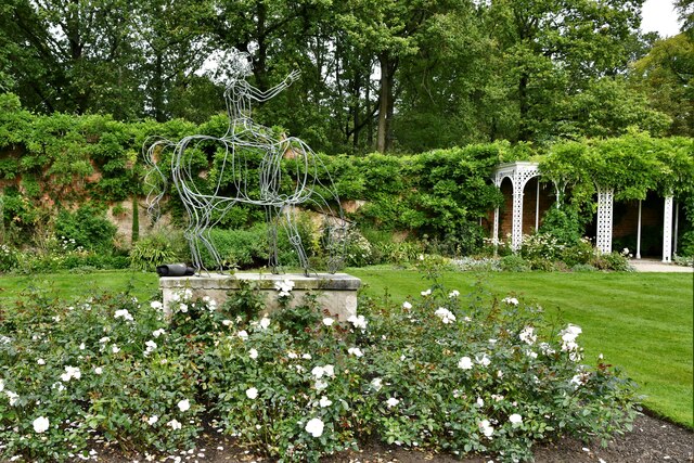
In addition to its natural beauty, Alderley Edge is home to historic buildings, including the Alderley Edge Hotel, which dates back to the 19th century. The village also boasts traditional pubs, charming tea rooms, and a range of boutique shops, providing visitors with a delightful experience.
Overall, Alderley Edge combines history, folklore, and natural beauty, making it a truly unique heritage site that attracts visitors from far and wide.
If you have any feedback on the listing, please let us know in the comments section below.
Alderley Edge Images
Images are sourced within 2km of 53.294/-2.211 or Grid Reference SJ8677. Thanks to Geograph Open Source API. All images are credited.
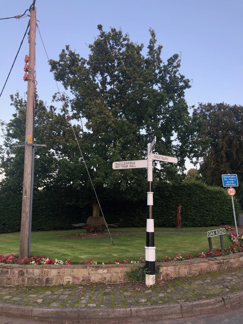


Alderley Edge is located at Grid Ref: SJ8677 (Lat: 53.294, Lng: -2.211)
Unitary Authority: Cheshire East
Police Authority: Cheshire
What 3 Words
///issue.lines.dart. Near Alderley Edge, Cheshire
Nearby Locations
Related Wikis

Alderley Edge Mines
The Alderley Edge Mines are located on the escarpment in Alderley Edge, Cheshire. Archaeological evidence indicates that copper mining took place here...

Geology of Alderley Edge
One of the classic locations for the study of Triassic sandstones in the UK is at Alderley Edge in Cheshire. Numerous scientists from the early 19th century...
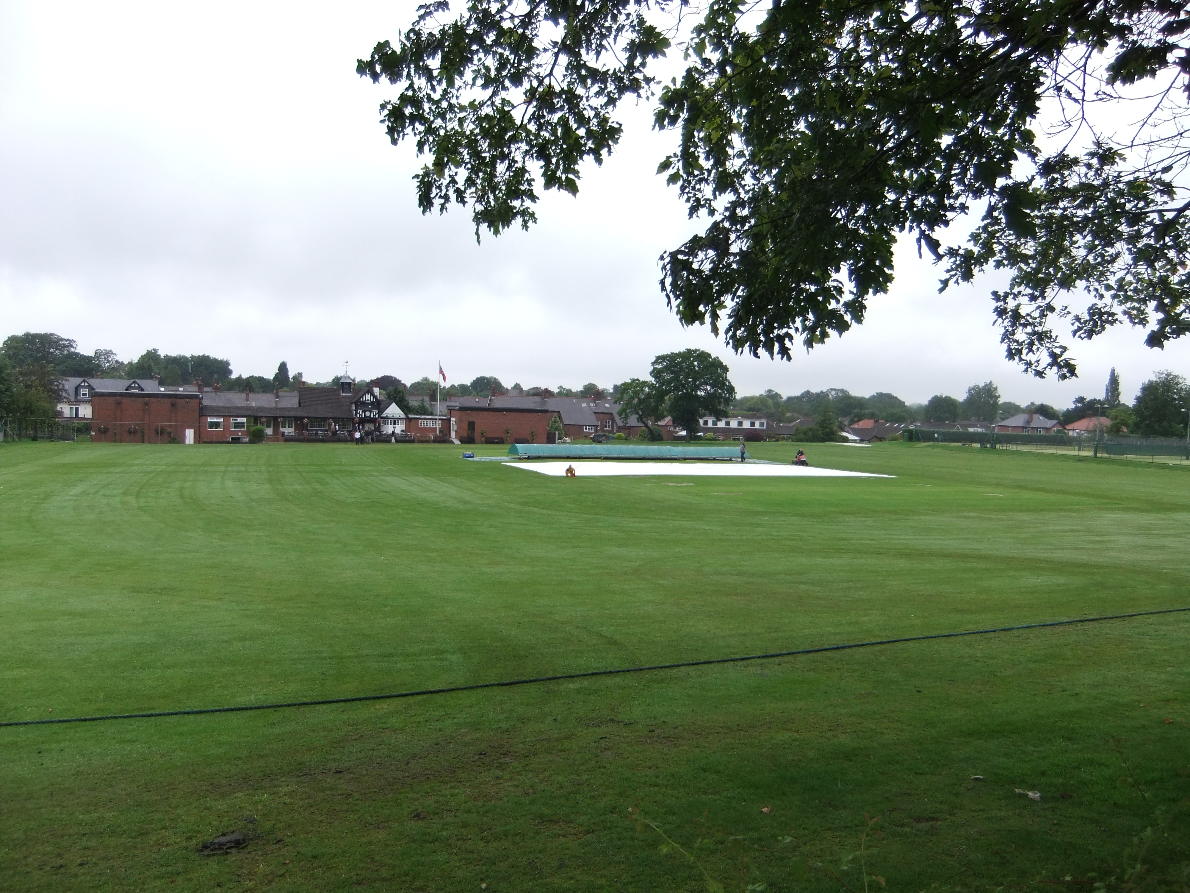
Moss Lane, Alderley Edge
Moss Lane is a cricket ground in Moss Lane, Alderley Edge, Cheshire. The ground is surrounded on all four sides by residential housing. The ground is used...

Over Alderley
Over Alderley is a civil parish in Cheshire, England. It had a population of 318 at the 2011 Census.It includes the hamlets of Adders Moss, Adshead Green...

Hare Hill
Hare Hill Hall is a country house and a garden in the parish of Over Alderley, Cheshire, England. The house and grounds are privately owned, and the separate...

Mottram St Andrew
Mottram St Andrew is a village and civil parish in Cheshire, England. At the 2011 census, it had a population of 493. An affluent village in the Cheshire...
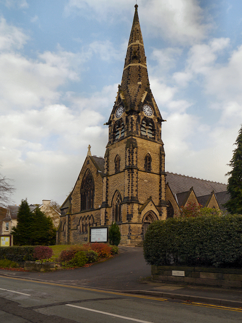
Alderley Edge Methodist Church
Alderley Edge Methodist Church is in Chapel Road, Alderley Edge, Cheshire, England. It is an active Methodist church. The church and its associated hall...

Alderley, Cheshire
Alderley was one of the eight ancient parishes of the Macclesfield Hundred of Cheshire, England. It included the following townships: Over Alderley Nether...
Nearby Amenities
Located within 500m of 53.294,-2.211Have you been to Alderley Edge?
Leave your review of Alderley Edge below (or comments, questions and feedback).