Alderman's Barrow
Heritage Site in Somerset
England
Alderman's Barrow
Alderman's Barrow, located in Somerset, England, is a significant heritage site that holds historical and cultural importance. This ancient barrow, also known as a burial mound or tumulus, is believed to date back to the Bronze Age, making it over 4,000 years old.
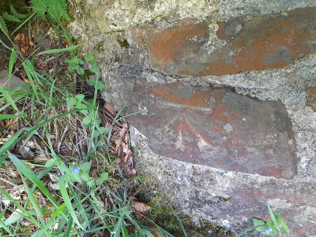
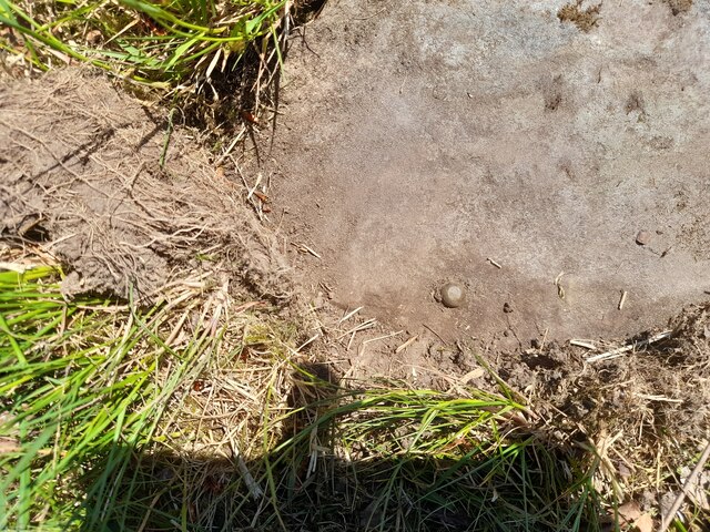
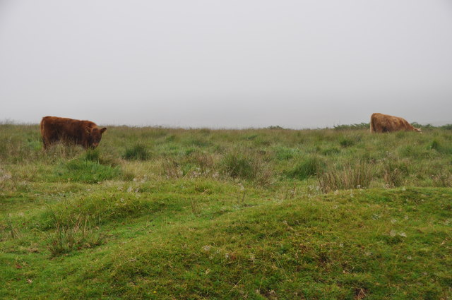
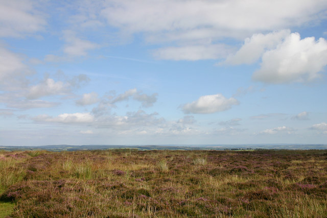
Situated on a hillside within the village of East Harptree, Alderman's Barrow offers a breathtaking view of the surrounding countryside. The site consists of a large circular mound, approximately 30 meters in diameter, and stands at an impressive height of around 4 meters. The barrow is made up of layers of earth and stone, with a central burial chamber that was likely used for the interment of important individuals during that era.
Archaeological excavations conducted in the 19th and 20th centuries revealed the presence of human remains, pottery, and other artifacts within the barrow. These findings provide valuable insights into the burial practices and material culture of the Bronze Age inhabitants of this region.
Alderman's Barrow is now a protected heritage site, recognized for its historical and archaeological significance. It serves as a reminder of the ancient civilizations that once thrived in this area. Visitors to the site can explore the barrow and marvel at its construction, imagining the ceremonies and rituals that took place thousands of years ago.
With its scenic location and intriguing historical background, Alderman's Barrow attracts both locals and tourists interested in delving into the rich history of Somerset. The site offers a unique opportunity to connect with the past and appreciate the enduring legacy left by our ancestors.
If you have any feedback on the listing, please let us know in the comments section below.
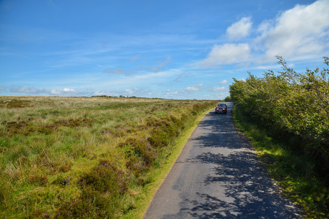
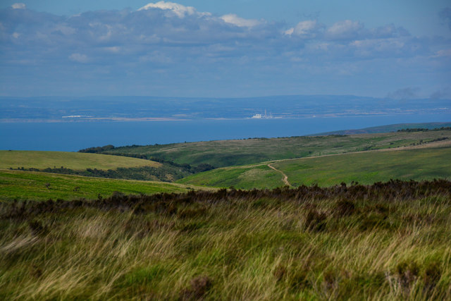
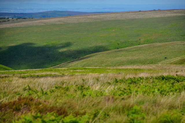
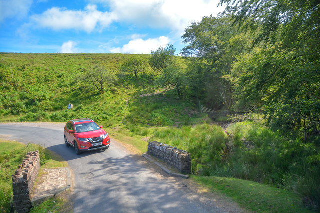
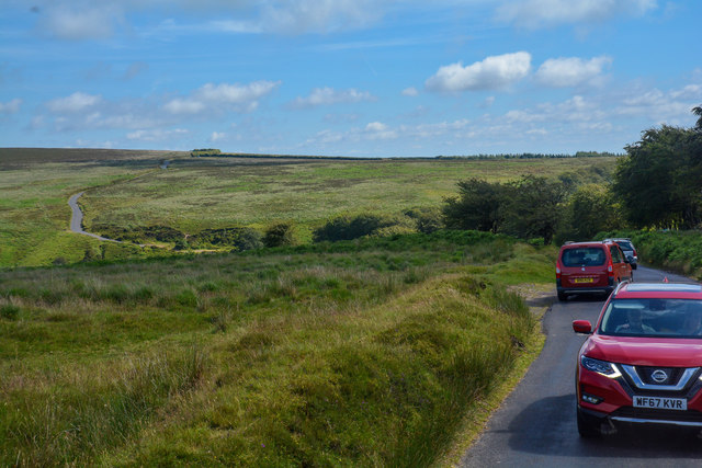
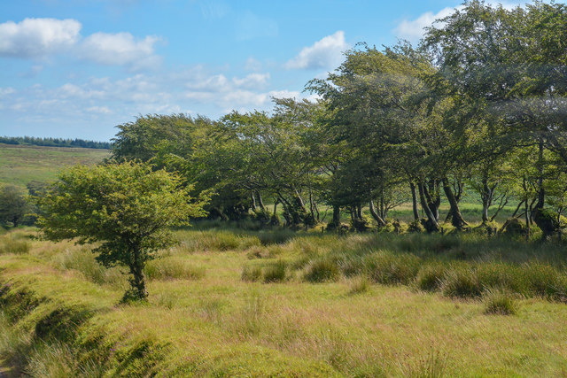
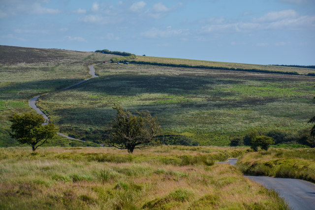
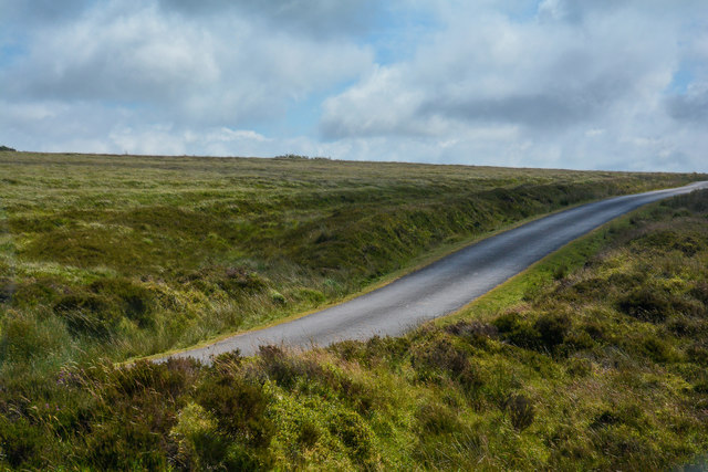
Alderman's Barrow Images
Images are sourced within 2km of 51.168/-3.667 or Grid Reference SS8342. Thanks to Geograph Open Source API. All images are credited.


Alderman's Barrow is located at Grid Ref: SS8342 (Lat: 51.168, Lng: -3.667)
What 3 Words
///towel.cleansed.trees. Near Porlock, Somerset
Nearby Locations
Related Wikis

Alderman's Barrow
Alderman's Barrow is a bowl barrow on Exmoor. It was created as a burial chamber in the Bronze Age and subsequently became a marker for the boundary of...

Almsworthy Common
Almsworthy Common is a small area of unenclosed land in Exmoor, south-western England. It contains a number of archaeological sites. It is about 2 miles...

Porlock Stone Circle
Porlock Stone Circle is a stone circle located on Exmoor, near the village of Porlock in the south-western English county of Somerset. The Porlock ring...

Nutscale Reservoir
Nutscale Reservoir is a reservoir located in Exmoor in north west Somerset, England. It supplies the town of Minehead and nearby Porlock and Porlock Weir...
Berry Castle, Somerset
Berry Castle (sometimes known as Berry Camp) is an early Roman (possible Iron Age) hillslope enclosure in the West Somerset district of Somerset, England...

North Exmoor SSSI
North Exmoor (grid reference SS800430) is a 12,005.3-hectare (29,666-acre) biological Site of Special Scientific Interest (SSSI) in Devon and Somerset...

Exford, Somerset
Exford is a rural village at the centre of Exmoor National Park, 7 miles (11 km) north-west of Dulverton, and 10 miles (16 km) south-west of Minehead,...

Church of St Mary Magdelene, Exford
The Anglican Church of St Mary Magdelene in Exford, Somerset, England was built in the 15th century. It is a Grade II* listed building. == History == Nothing...
Nearby Amenities
Located within 500m of 51.168,-3.667Have you been to Alderman's Barrow?
Leave your review of Alderman's Barrow below (or comments, questions and feedback).