Harthope Head
Landscape Feature in Durham
England
Harthope Head

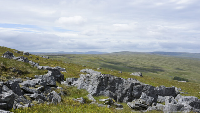
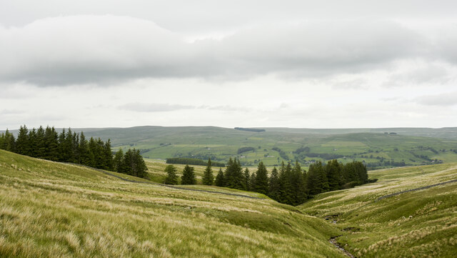
Harthope Head is a prominent landscape feature located in County Durham, England. It stands at an impressive height of 681 meters (2,234 feet) above sea level and is part of the North Pennines Area of Outstanding Natural Beauty. Situated within the Cheviot Hills, it offers breathtaking panoramic views of the surrounding countryside.
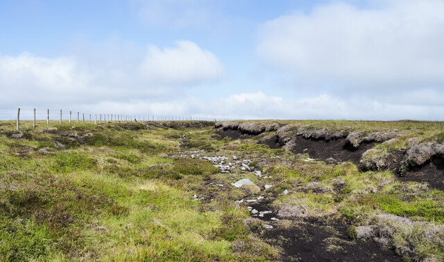
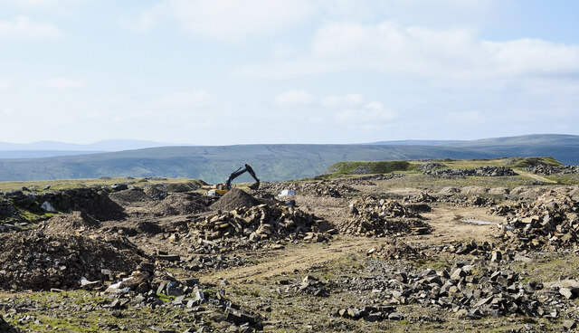
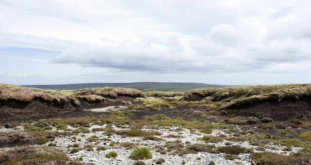
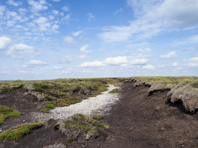
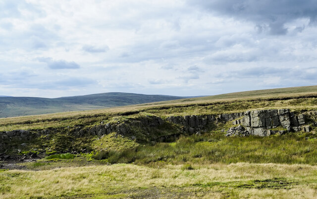
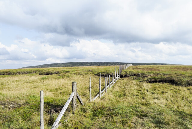
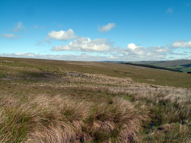
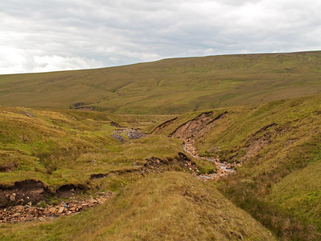
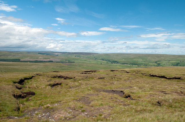
The terrain of Harthope Head is characterized by rolling hills, steep cliffs, and rugged moorland. The area is covered in heather and grasses, creating a colorful and vibrant landscape, especially during the summer months. The hilltop is adorned with a trig point, providing a reference point for surveying and map-making.
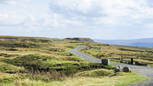
The summit of Harthope Head is accessible via various walking routes, ranging in difficulty to cater to different levels of fitness and experience. It is a popular destination for hikers and nature enthusiasts seeking to immerse themselves in the beauty of the region. On clear days, visitors can enjoy stunning views of the surrounding hills, valleys, and even glimpses of the North Sea in the distance.
Harthope Head is also home to a diverse range of wildlife, including birds of prey, such as kestrels and peregrine falcons, as well as various species of grouse and curlew. The area is designated as a Site of Special Scientific Interest due to its ecological significance.
In summary, Harthope Head in Durham is a magnificent landscape feature, offering visitors a chance to experience the natural beauty and tranquility of the North Pennines. With its stunning vistas, diverse wildlife, and challenging walking routes, it is a must-visit destination for those seeking to explore the great outdoors.
If you have any feedback on the listing, please let us know in the comments section below.
Harthope Head Images
Images are sourced within 2km of 54.711458/-2.2150433 or Grid Reference NY8635. Thanks to Geograph Open Source API. All images are credited.


Harthope Head is located at Grid Ref: NY8635 (Lat: 54.711458, Lng: -2.2150433)
Unitary Authority: County Durham
Police Authority: Durham
What 3 Words
///devalued.cigar.confetti. Near Newbiggin, Co. Durham
Nearby Locations
Related Wikis

Harthope Moss
Harthope Moss, also known as Chapel Fell (elevation 627 m; 2,057 ft) is a mountain pass in the English Pennines. The pass divides Weardale to the north...

Ireshopeburn
Ireshopeburn ( EYE-sup-burn ) is a village in the civil parish of Stanhope, in County Durham, England. It is situated on the south side of Weardale, between...

St John's Chapel, County Durham
St John's Chapel is a village in the civil parish of Stanhope, in County Durham, England. It is situated in Weardale, on the south side of the River Wear...

Forest and Frith
Forest and Frith is a civil parish in the County Durham unitary authority, in the ceremonial county of Durham, England. In the 2011 census it had a population...
Nearby Amenities
Located within 500m of 54.711458,-2.2150433Have you been to Harthope Head?
Leave your review of Harthope Head below (or comments, questions and feedback).