Howgate Head
Landscape Feature in Yorkshire Richmondshire
England
Howgate Head
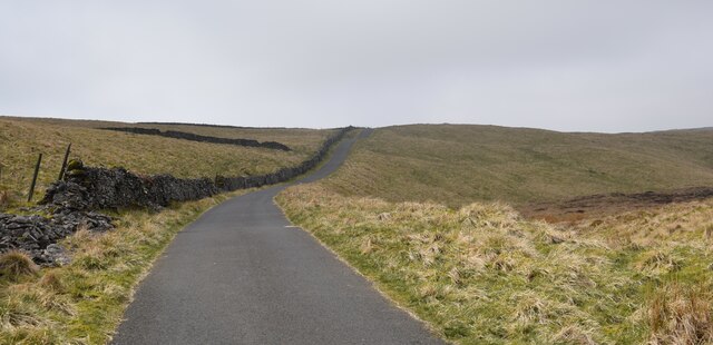
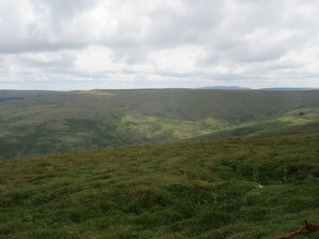
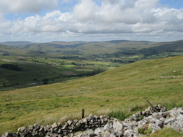
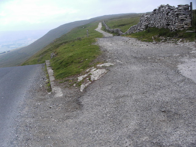
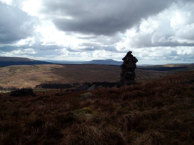
![A walk from Hawes to Aysgill Force and back [33] The public footpath ends here where it makes a T junction with a track which is an 'other route with public access'. To the left the track crosses Gayle Beck via a ford before joining Beggarmans Road. To the right the track leads to Faw Head.
Starting from the village of Hawes, the walk follows Gayle Beck through the village of Gayle to the spectacular waterfall of Aysgill Force. Then the walk continues to follow the beck upstream to Sleddale Pasture before returning to Gayle via a track on the lower slopes of Swinesett Hill. From Gayle the walk returns to Hawes via Gayle Lane. About 3¾ miles.](https://s2.geograph.org.uk/geophotos/07/00/66/7006642_b50869ca.jpg)
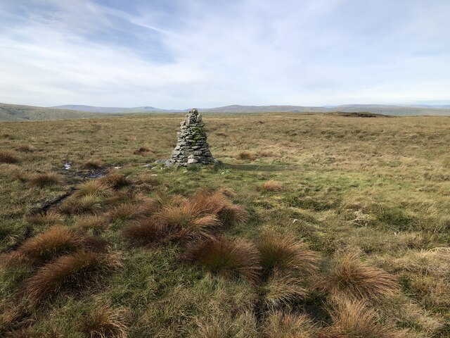
Howgate Head is a prominent landscape feature located in Yorkshire, England. It is situated in the stunning Yorkshire Dales National Park, offering breathtaking views of the surrounding countryside. The area is characterized by rolling hills, lush green fields, and meandering streams, making it a popular destination for hikers, nature lovers, and outdoor enthusiasts.
At an elevation of approximately 1,500 feet above sea level, Howgate Head provides visitors with a commanding vantage point to take in the beauty of the Yorkshire Dales. The landscape is dotted with picturesque stone walls, traditional farmhouses, and grazing sheep, adding to the charm and character of the area.
Visitors to Howgate Head can enjoy a variety of activities such as hiking, birdwatching, and photography. The tranquil and peaceful atmosphere of the area makes it an ideal spot for relaxation and contemplation.
Overall, Howgate Head is a stunning landscape feature that showcases the natural beauty and diverse ecosystems of Yorkshire. Whether you are looking for a challenging hike or a peaceful retreat, Howgate Head has something to offer for everyone.
If you have any feedback on the listing, please let us know in the comments section below.
Howgate Head Images
Images are sourced within 2km of 54.26779/-2.2050477 or Grid Reference SD8685. Thanks to Geograph Open Source API. All images are credited.
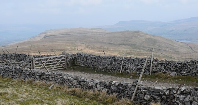
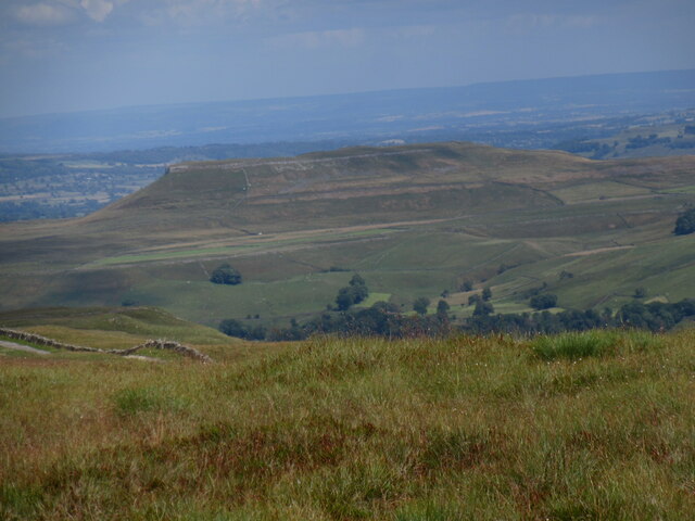
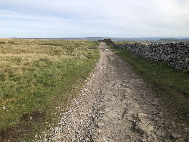
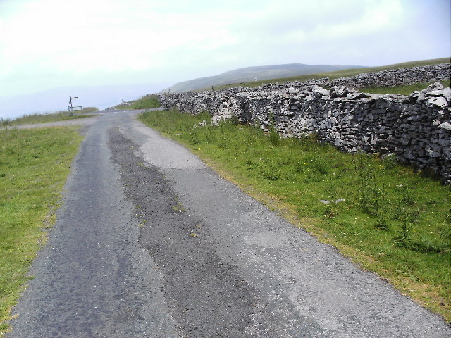
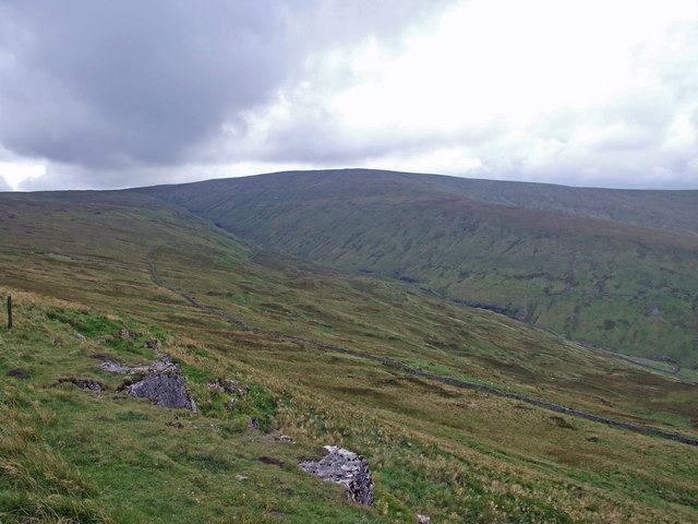
![A walk from Hawes to Aysgill Force and back [37] A view across the valley of Gayle Beck, seen from the track. Busk Farm is seen in the distance with Wether Fell Side rising behind.
Starting from the village of Hawes, the walk follows Gayle Beck through the village of Gayle to the spectacular waterfall of Aysgill Force. Then the walk continues to follow the beck upstream to Sleddale Pasture before returning to Gayle via a track on the lower slopes of Swinesett Hill. From Gayle the walk returns to Hawes via Gayle Lane. About 3¾ miles.](https://s0.geograph.org.uk/geophotos/07/00/66/7006648_04151513.jpg)
Howgate Head is located at Grid Ref: SD8685 (Lat: 54.26779, Lng: -2.2050477)
Division: North Riding
Administrative County: North Yorkshire
District: Richmondshire
Police Authority: North Yorkshire
What 3 Words
///infuses.caressed.protest. Near Ingleton, North Yorkshire
Nearby Locations
Related Wikis

Wether Fell
Wether Fell (archaically Wetherfell), also known as Drumaldrace (the name of its summit), is a mountain in the Yorkshire Dales National Park, in North...

Yorkshire Dales National Park
The Yorkshire Dales National Park is a 2,178 km2 (841 sq mi) national park in England covering most of the Yorkshire Dales, with the notable exception...
Fleet Moss
Fleet Moss is a upland area separating Wharfedale from Wensleydale in North Yorkshire, England. The area is 1,850 ft (560 m) above sea level (although...
Dodd Fell Hill
Dodd Fell Hill is a hill in the Yorkshire Dales, in North Yorkshire, England. It is classed as a Marilyn (a hill with topographic prominence of at least...
Nearby Amenities
Located within 500m of 54.26779,-2.2050477Have you been to Howgate Head?
Leave your review of Howgate Head below (or comments, questions and feedback).