Sandy Point
Coastal Feature, Headland, Point in Worcestershire Malvern Hills
England
Sandy Point

Sandy Point is a prominent coastal feature located in Worcestershire, England. It is a headland that juts out into the sea, forming a point that separates two bays. Situated on the western coast of Worcestershire, Sandy Point is known for its picturesque beauty and stunning views of the surrounding coastline.
The headland itself is characterized by its sandy terrain, which is where it gets its name. The sandy beach stretches along the point, offering visitors a place to relax and enjoy the natural surroundings. The beach is popular among locals and tourists alike, particularly during the summer months when the weather is warm and sunny.
Sandy Point is also a haven for wildlife enthusiasts, as the area is home to a diverse range of flora and fauna. The headland provides a habitat for various bird species, making it an ideal spot for birdwatching. Additionally, the surrounding waters are known for their rich marine life, attracting snorkelers and divers who are eager to explore the underwater world.
From Sandy Point, visitors can enjoy breathtaking views of the coastline and the open sea. The headland offers a vantage point to admire the vastness of the ocean, while also providing a sense of tranquility and serenity.
Overall, Sandy Point in Worcestershire is a coastal feature that offers a combination of natural beauty, recreational activities, and wildlife viewing opportunities. Whether one is seeking relaxation on the sandy beach or an adventure exploring the underwater world, this headland provides a memorable experience for all who visit.
If you have any feedback on the listing, please let us know in the comments section below.
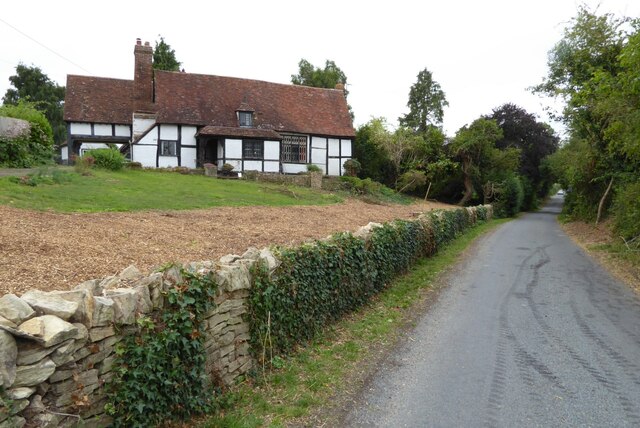
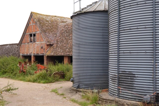
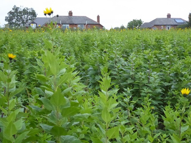
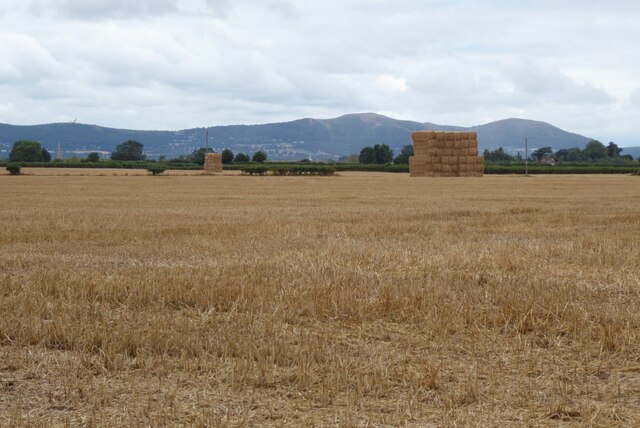
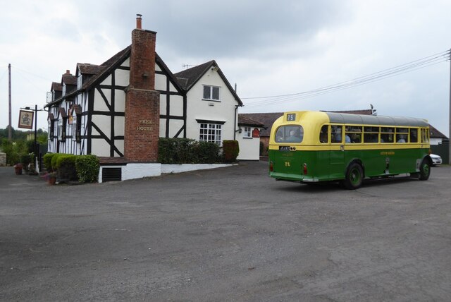
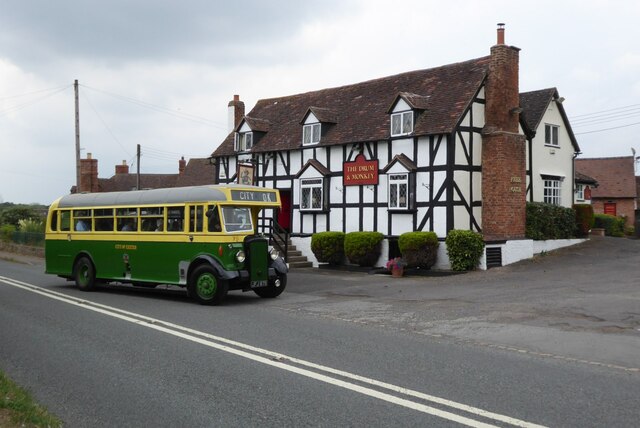
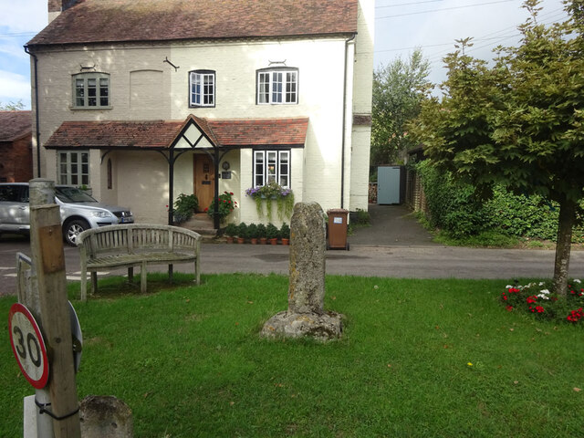
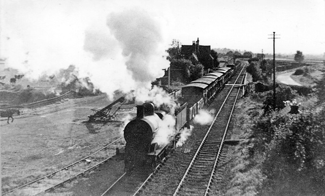
Sandy Point Images
Images are sourced within 2km of 52.043192/-2.2076628 or Grid Reference SO8538. Thanks to Geograph Open Source API. All images are credited.


Sandy Point is located at Grid Ref: SO8538 (Lat: 52.043192, Lng: -2.2076628)
Administrative County: Worcestershire
District: Malvern Hills
Police Authority: West Mercia
What 3 Words
///shunted.varieties.suave. Near Upton upon Severn, Worcestershire
Nearby Locations
Related Wikis

Holdfast, Worcestershire
Holdfast is a civil parish in the Malvern Hills District of the county of Worcestershire, England. It is one of three administered by the Parish Council...

Lordship of Saxons Lode
The Lordship of Saxons Lode or warlord of Saxons Lode (Old English for 'Lord of Viking's Iron') (Icelandic: Lávarður Saxa Lode, Danish: Herre af Sakserne...

Queenhill
Queenhill is a civil parish and hamlet in the Malvern Hills District of the county of Worcestershire, England. It is one of three parishes administered...

Battle of Ripple Field
The Battle of Ripple Field, fought on 13 April 1643, was an engagement in the First English Civil War. In the battle, a Royalist cavalry force led by Prince...
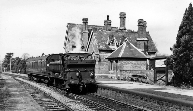
Ripple railway station
Ripple railway station was a station on the Midland Railway between Great Malvern and Evesham. It opened on 16 May 1864 by the Tewkesbury and Malvern...
Ripple, Worcestershire
Ripple is a village and civil parish in the county of Worcestershire, England. Ripple is one of the most southerly parishes in the county and is situated...
Upton-on-Severn railway station
Upton-on-Severn railway station was a railway station serving Upton-on-Severn in the English county of Worcestershire. == History == It was opened...

Upton-upon-Severn
Upton-upon-Severn (or Upton on Severn, etc. and locally simply Upton) is a town and civil parish in the Malvern Hills District of Worcestershire, England...
Nearby Amenities
Located within 500m of 52.043192,-2.2076628Have you been to Sandy Point?
Leave your review of Sandy Point below (or comments, questions and feedback).