Paradise Plantation
Wood, Forest in Worcestershire Malvern Hills
England
Paradise Plantation
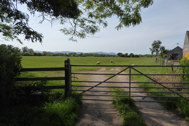
Paradise Plantation, located in Worcestershire, England, is a captivating woodland area renowned for its natural beauty and rich biodiversity. Spanning several acres, this picturesque plantation boasts a diverse range of trees, plants, and wildlife, making it a haven for nature enthusiasts and a popular destination for outdoor activities.
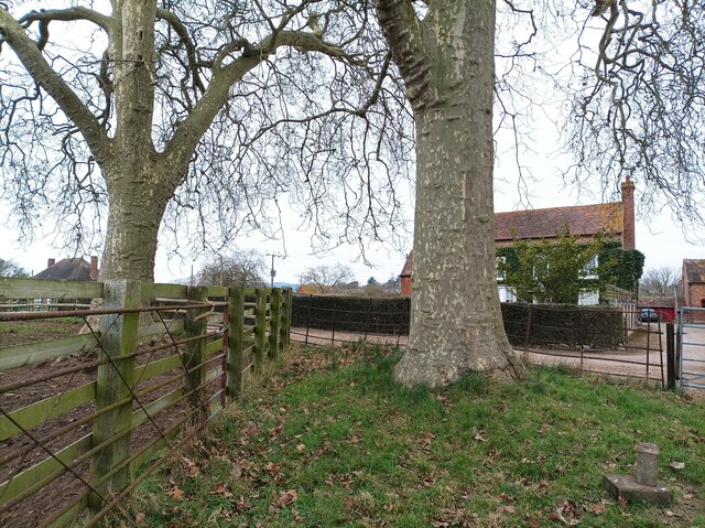
The woodland is predominantly composed of majestic oak trees, which provide shade and a sense of tranquility as visitors explore its winding trails. The plantation's dense canopy creates a cool and peaceful atmosphere, attracting a wide variety of bird species, including woodpeckers and warblers, making it an ideal spot for birdwatchers.
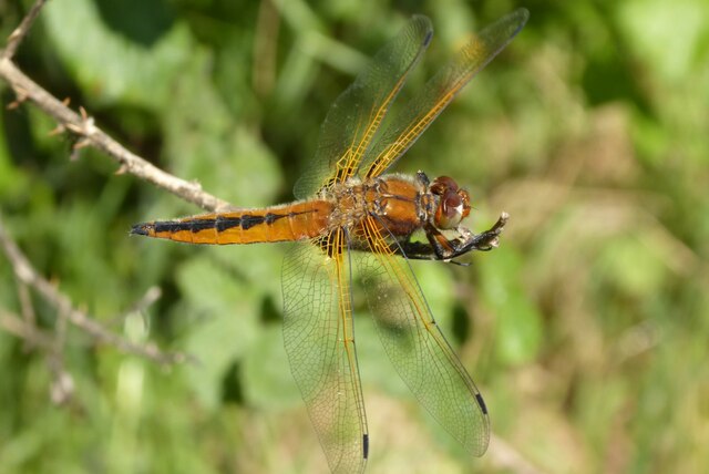
Paradise Plantation is also home to an abundance of wildlife, such as deer, foxes, and rabbits, which can often be spotted among the undergrowth. The woodland floor is adorned with carpets of bluebells in the spring, while other wildflowers bloom throughout the summer months, adding vibrant splashes of color to the landscape.
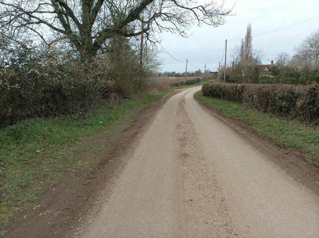
For outdoor enthusiasts, Paradise Plantation offers a range of recreational activities. Hiking and nature walks are popular choices, allowing visitors to fully immerse themselves in the natural surroundings and enjoy the peaceful ambiance. The plantation also features designated picnic areas, providing the perfect opportunity for a leisurely lunch amidst the serene woodland setting.
Paradise Plantation, Worcestershire, truly lives up to its name, offering a slice of paradise for those seeking solace in nature. Whether it's a leisurely stroll, birdwatching, or simply enjoying the tranquility of the woods, this enchanting woodland is a must-visit destination for all nature lovers.
If you have any feedback on the listing, please let us know in the comments section below.
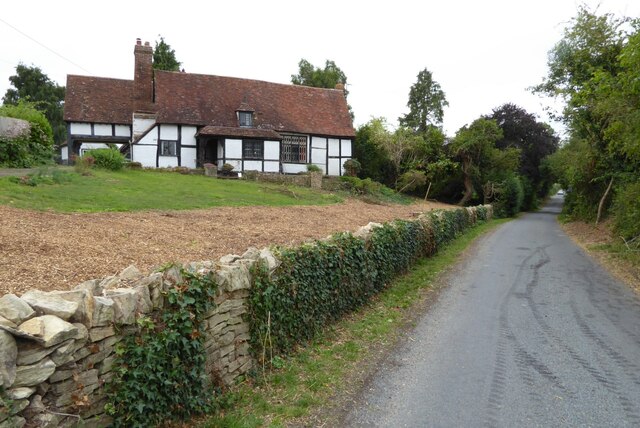
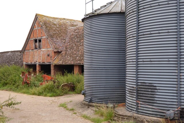
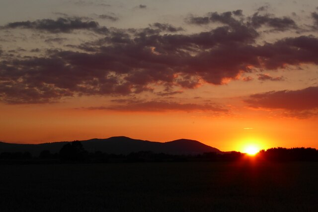
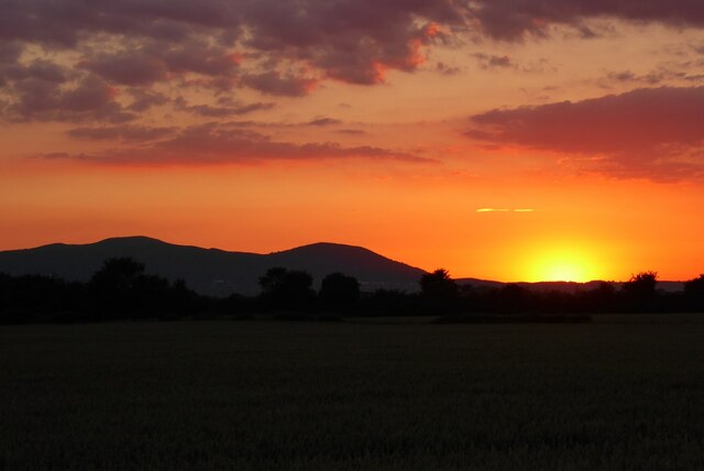
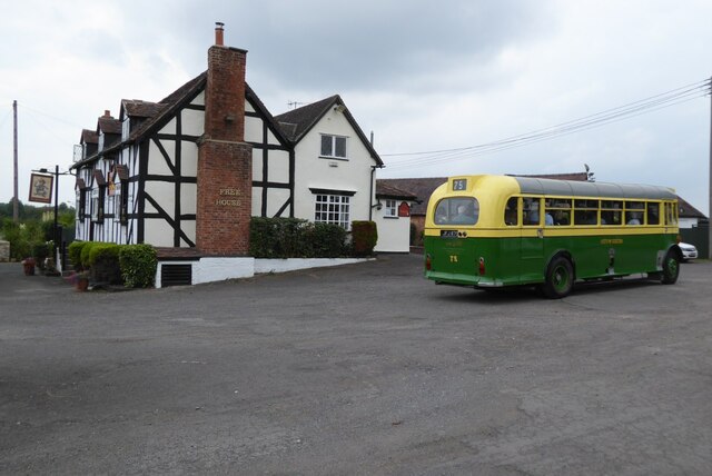
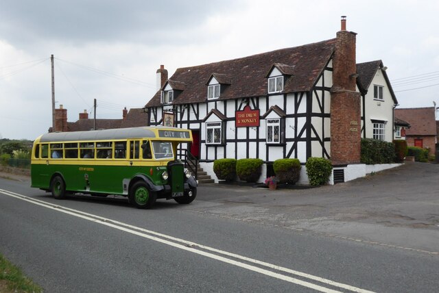
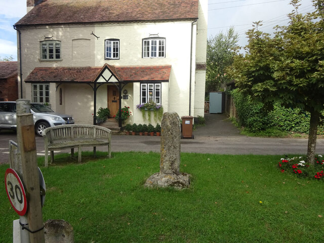
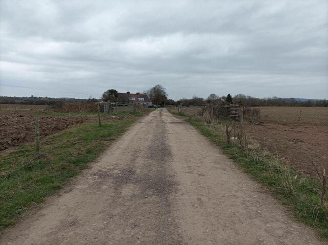
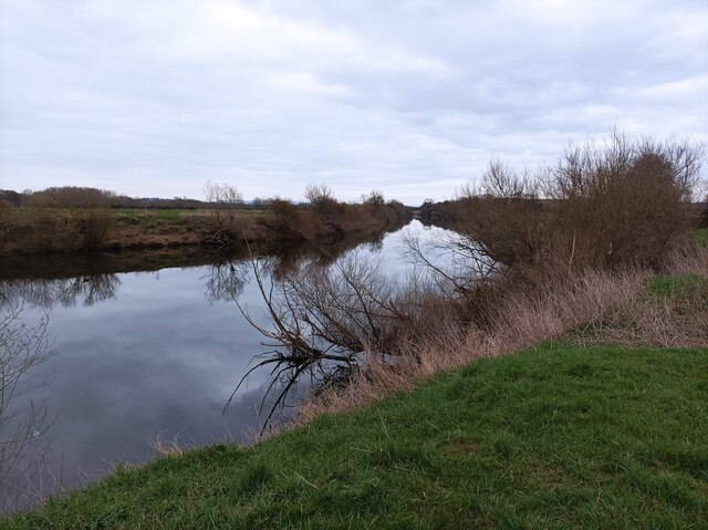
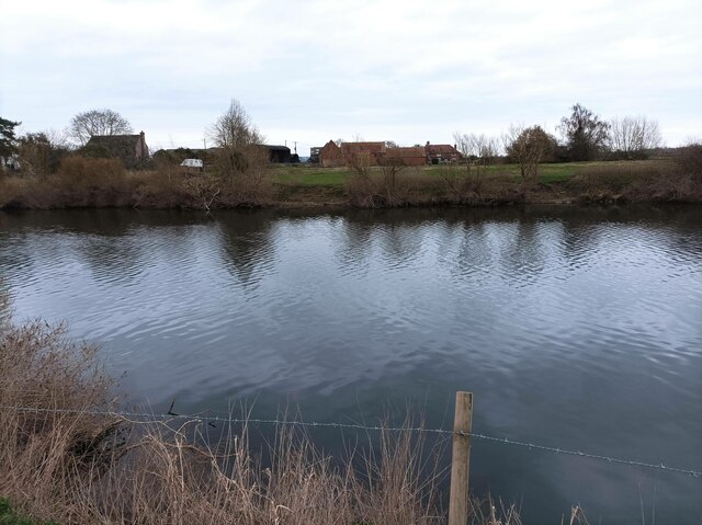
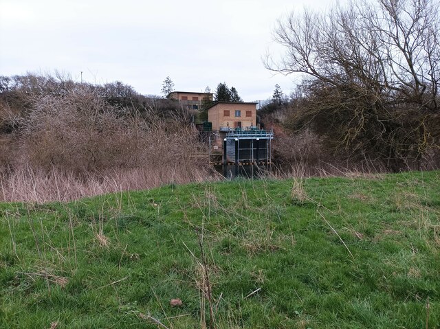
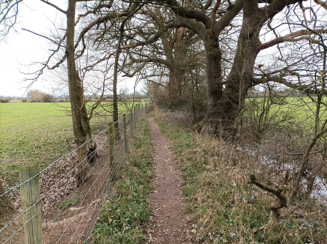
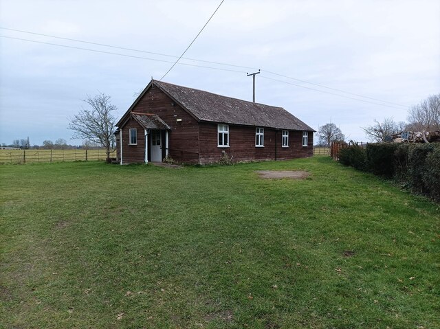
Paradise Plantation Images
Images are sourced within 2km of 52.042246/-2.2141756 or Grid Reference SO8538. Thanks to Geograph Open Source API. All images are credited.

Paradise Plantation is located at Grid Ref: SO8538 (Lat: 52.042246, Lng: -2.2141756)
Administrative County: Worcestershire
District: Malvern Hills
Police Authority: West Mercia
What 3 Words
///clashing.composed.disgraced. Near Upton upon Severn, Worcestershire
Nearby Locations
Related Wikis

Holdfast, Worcestershire
Holdfast is a civil parish in the Malvern Hills District of the county of Worcestershire, England. It is one of three administered by the Parish Council...

Queenhill
Queenhill is a civil parish and hamlet in the Malvern Hills District of the county of Worcestershire, England. It is one of three parishes administered...

Lordship of Saxons Lode
The Lordship of Saxons Lode or warlord of Saxons Lode (Old English for 'Lord of Viking's Iron') (Icelandic: Lávarður Saxa Lode, Danish: Herre af Sakserne...
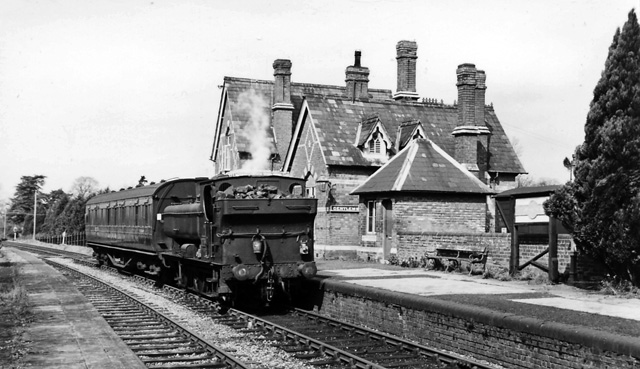
Upton-on-Severn railway station
Upton-on-Severn railway station was a railway station serving Upton-on-Severn in the English county of Worcestershire. == History == It was opened...

Battle of Ripple Field
The Battle of Ripple Field, fought on 13 April 1643, was an engagement in the First English Civil War. In the battle, a Royalist cavalry force led by Prince...
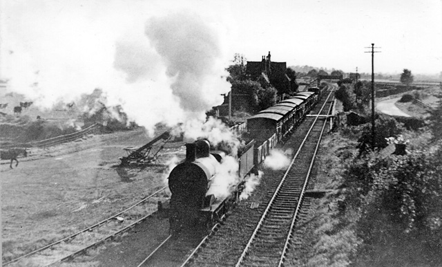
Ripple railway station
Ripple railway station was a station on the Midland Railway between Great Malvern and Evesham. It opened on 16 May 1864 by the Tewkesbury and Malvern...
Ripple, Worcestershire
Ripple is a village and civil parish in the county of Worcestershire, England. Ripple is one of the most southerly parishes in the county and is situated...

Bredon School
Bredon School, formerly Pull Court, is a private school in Bushley, Worcestershire, England. The house was built for the Reverend Canon E. C. Dowdeswell...
Nearby Amenities
Located within 500m of 52.042246,-2.2141756Have you been to Paradise Plantation?
Leave your review of Paradise Plantation below (or comments, questions and feedback).