Grove Coppice

Wood, Forest in Wiltshire

England

Grove Coppice

St Catherine, Sedgehill: late August 2016
St Catherine, Sedgehill: late August 2016 Credit: Basher Eyre

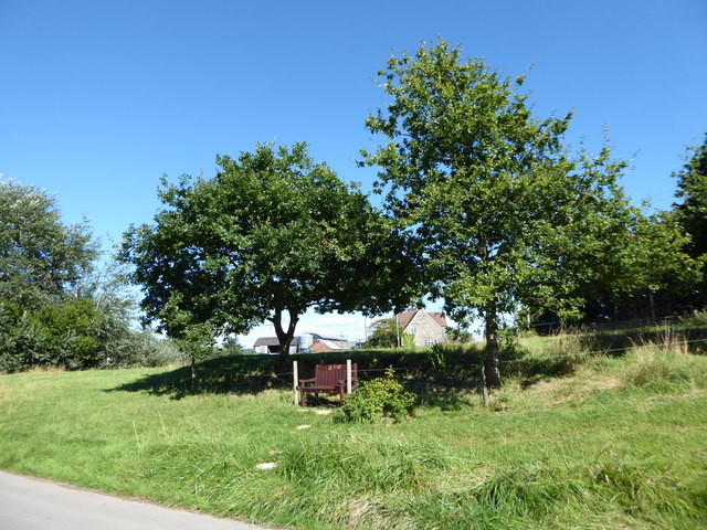
Grove Coppice is a small woodland area located in the county of Wiltshire, England. Situated near the village of Grove, it spans over an area of approximately 20 acres. The coppice is primarily composed of mixed deciduous trees, including oak, beech, ash, and birch.

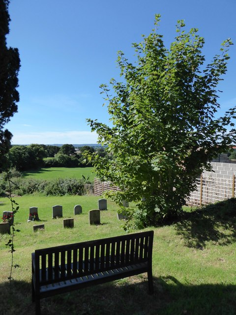
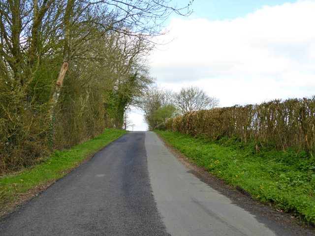
The woodland is characterized by its dense vegetation and varying topography. It features undulating terrain with gentle slopes and a small stream running through it. The thick canopy formed by the trees provides ample shade, creating a cool and tranquil environment within the coppice.

Grove Coppice serves as an important habitat for a diverse range of flora and fauna. The woodland floor is adorned with an array of wildflowers, including bluebells, primroses, and wood anemones, which bloom during the spring season. The many tree species provide shelter and nesting sites for numerous bird species, such as blackbirds, thrushes, and woodpeckers. Small mammals like squirrels, rabbits, and hedgehogs can also be found within the coppice.

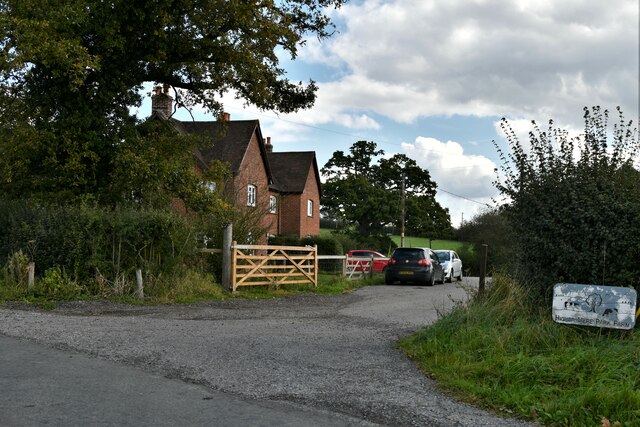
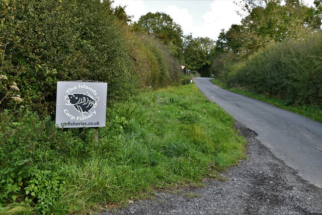
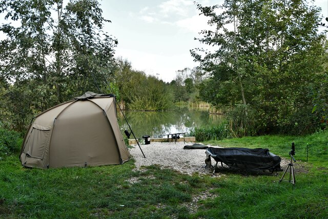
The woodland is a popular destination for nature enthusiasts, walkers, and photographers. Several footpaths and trails wind through the area, allowing visitors to explore its natural beauty. It offers a peaceful retreat away from the hustle and bustle of urban life, providing a tranquil setting for relaxation and leisure activities.

Grove Coppice is a cherished natural resource, providing not only recreational opportunities but also contributing to the overall ecological health of the surrounding area. Its conservation and maintenance are of utmost importance to ensure its continued vitality and biodiversity.

If you have any feedback on the listing, please let us know in the comments section below.

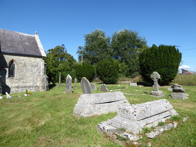
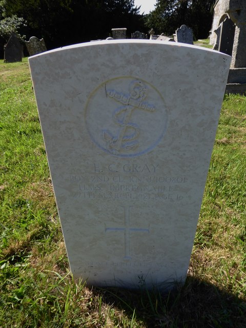
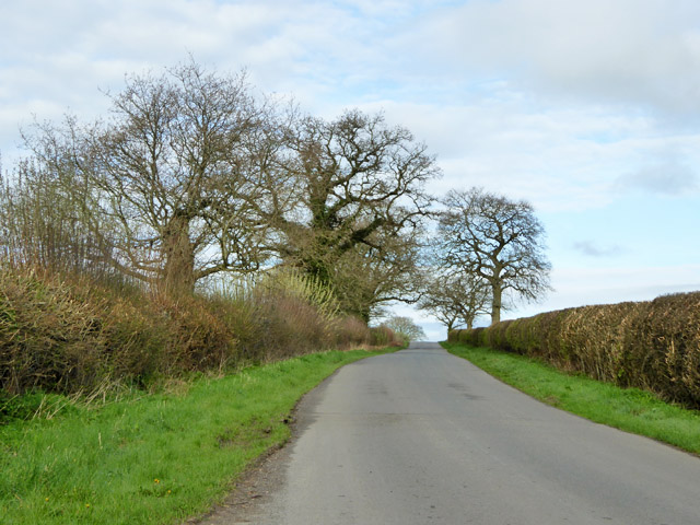
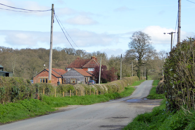
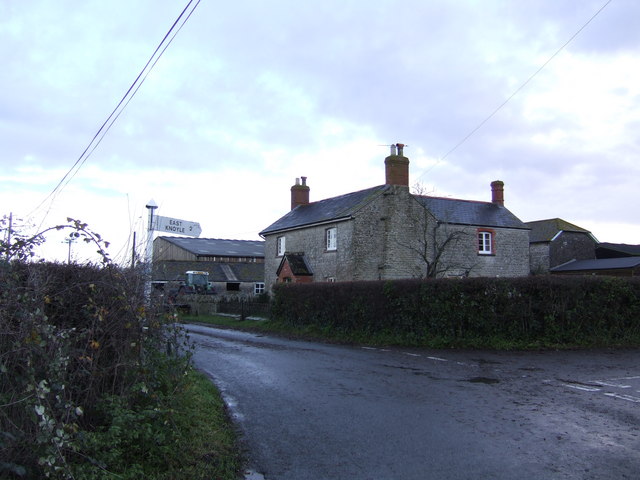
Grove Coppice Images

Images are sourced within 2km of 51.060007/-2.2095067 or Grid Reference ST8528. Thanks to Geograph Open Source API. All images are credited.

St Catherine, Sedgehill: late August 2016
Rush hour in Sedgehill
St Catherine, Sedgehill: churchyard (1)
St Catherine, Sedgehill: churchyard (2)
St Catherine, Sedgehill: churchyard (3) Also see <span class="nowrap"><a title="https://en.wikipedia.org/wiki/Priscilla_Napier" rel="nofollow ugc noopener" href="https://en.wikipedia.org/wiki/Priscilla_Napier">Link</a><img style="margin-left:2px;" alt="External link" title="External link - shift click to open in new window" src="https://s1.geograph.org.uk/img/external.png" width="10" height="10"/></span> <span class="nowrap"><a title="http://uboat.net/allies/commanders/1815.html" rel="nofollow ugc noopener" href="http://uboat.net/allies/commanders/1815.html">Link</a><img style="margin-left:2px;" alt="External link" title="External link - shift click to open in new window" src="https://s1.geograph.org.uk/img/external.png" width="10" height="10"/></span> and <span class="nowrap"><a title="http://www.cwgc.org/find-war-dead/casualty/2710207/NAPIER,%20TREVYLYAN%20MICHAEL" rel="nofollow ugc noopener" href="http://www.cwgc.org/find-war-dead/casualty/2710207/NAPIER,%20TREVYLYAN%20MICHAEL">Link</a><img style="margin-left:2px;" alt="External link" title="External link - shift click to open in new window" src="https://s1.geograph.org.uk/img/external.png" width="10" height="10"/></span>
St Catherine, Sedgehill: churchyard (3)
Also see LinkExternal link LinkExternal link and LinkExternal link
St Catherine, Sedgehill: churchyard (4)
St Catherine, Sedgehill: churchyard (5) Also see <span class="nowrap"><a title="http://www.cwgc.org/find-war-dead/casualty/405789/GRAY,%20E%20C" rel="nofollow ugc noopener" href="http://www.cwgc.org/find-war-dead/casualty/405789/GRAY,%20E%20C">Link</a><img style="margin-left:2px;" alt="External link" title="External link - shift click to open in new window" src="https://s1.geograph.org.uk/img/external.png" width="10" height="10"/></span>
St Catherine, Sedgehill: churchyard (5)
Also see LinkExternal link
Road west from East Knoyle The left side of the straight road from here on is mapped as an ancient park pale, but there is nothing obvious about it.
Road west from East Knoyle
The left side of the straight road from here on is mapped as an ancient park pale, but there is nothing obvious about it.
Convish Farm
Convish Farm
Pimperleaze Road Looking towards Mere.
Pimperleaze Road
Looking towards Mere.
Barrow Street: Higher Park Cottages
Barrow Street: Cunnage Lane
Barrow Street: Fishing Station 1 at The Islands Carp Fishery
Barrow Street, The Islands Carp Fishery: The lake
Barrow Street: The point where Cunnage Lane joins Pimperleaze Road
Hillock and Fields from Park Dale lane Looking up the conical hillock (152m) from the lane between Park Lane Farm and Lugmarsh.
Hillock and Fields from Park Dale lane
Looking up the conical hillock (152m) from the lane between Park Lane Farm and Lugmarsh.
Park Corner Farm Farm on the T Junction near East Knoyle
Park Corner Farm
Farm on the T Junction near East Knoyle
Footpath near Barrow Street The footpath takes walkers from Cunnage Lane to Barrow Street across this field of grazing sheep.
Footpath near Barrow Street
The footpath takes walkers from Cunnage Lane to Barrow Street across this field of grazing sheep.
Show me another place!

Grove Coppice is located at Grid Ref: ST8528 (Lat: 51.060007, Lng: -2.2095067)

Unitary Authority: Wiltshire

Police Authority: Wiltshire

What 3 Words

///cherished.tango.supplied. Near Motcombe, Dorset

Nearby Locations

Grove Coppice

Related Wikis

Sedgehill

Sedgehill is a small village and former civil parish, now in the parish of Sedgehill and Semley, in the southwest of the county of Wiltshire, England....

Barrow Street, Wiltshire

Barrow Street is a hamlet in Wiltshire, England, about 1.9 miles (3.1 km) southeast of the town of Mere. The name comes from the early Bronze Age bowl...

Sedgehill and Semley

Sedgehill and Semley is a civil parish in the English county of Wiltshire, about 3 miles (4.8 km) north of the town of Shaftesbury on the main A350 road...

Semley railway station

Semley was a railway station in Wiltshire, England. It was served by trains on the West of England Main Line and was the railhead for the town of Shaftesbury...

Nearby Amenities

Located within 500m of 51.060007,-2.2095067
Power: pole
Source: bing
Lat/Long: 51.0561759/-2.2132489
Power: pole
Source: bing
Lat/Long: 51.0558842/-2.2121747
Power: pole
Source: bing
Lat/Long: 51.0598738/-2.2029251
Power: pole
Source: bing
Lat/Long: 51.0590596/-2.2033891
Power: pole
Source: bing
Lat/Long: 51.0581998/-2.2037727
Power: pole
Source: bing
Lat/Long: 51.057421/-2.2041187
The data included in this document is from www.openstreetmap.org. The data is made available under ODbL.

Have you been to Grove Coppice?

Leave your review of Grove Coppice below (or comments, questions and feedback).