Sagar Banks Plantation

Wood, Forest in Lancashire Burnley

England

Sagar Banks Plantation

Old Wayside Cross in Tiwneley Park, Burnley Foldys' Cross, an old market cross base in a new cross. Moved to the intersection of footpaths leading towards Todmorden road in Towneley Park, 300 metres southwest of Towneley Hall in Burnley. Grade II Listed <span class="nowrap"><a title="https://historicengland.org.uk/listing/the-list/list-entry/1247301" rel="nofollow ugc noopener" href="https://historicengland.org.uk/listing/the-list/list-entry/1247301">Link</a><img style="margin-left:2px;" alt="External link" title="External link - shift click to open in new window" src="https://s1.geograph.org.uk/img/external.png" width="10" height="10"/></span>. See also <a title="https://www.geograph.org.uk/photo/3569776" href="https://www.geograph.org.uk/photo/3569776">Link</a> and <a title="https://www.geograph.org.uk/photo/1133733" href="https://www.geograph.org.uk/photo/1133733">Link</a>.

Milestone Society National ID: LABU_BUR03
Old Wayside Cross in Tiwneley Park, Burnley Credit: Lee Rob

Sagar Banks Plantation is a sprawling woodland located in Lancashire, England. Covering an area of approximately 200 acres, it is a significant natural asset to the region. The plantation is situated near the village of Sagar, which is known for its picturesque countryside and rich biodiversity.

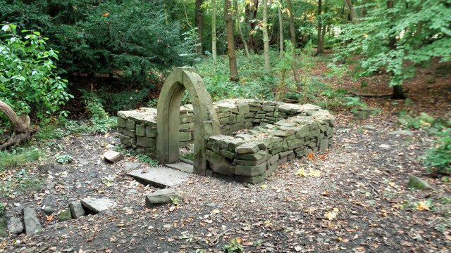
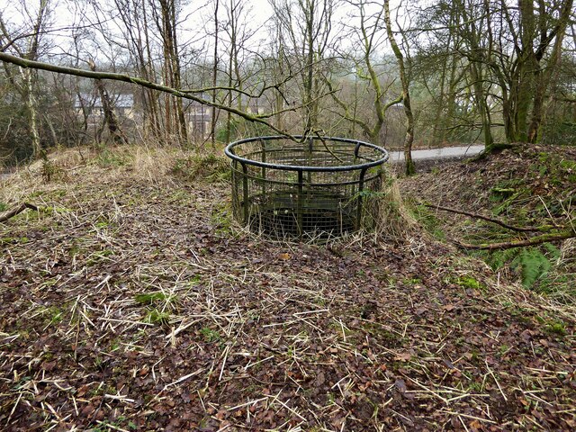
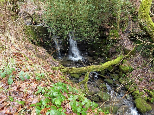
The woodland consists predominantly of mature trees, including oak, beech, and birch. These trees provide a dense canopy, creating a sheltered and tranquil environment. The plantation is also home to a variety of wildlife, such as deer, foxes, and a wide array of bird species, making it a popular destination for nature enthusiasts and bird-watchers.

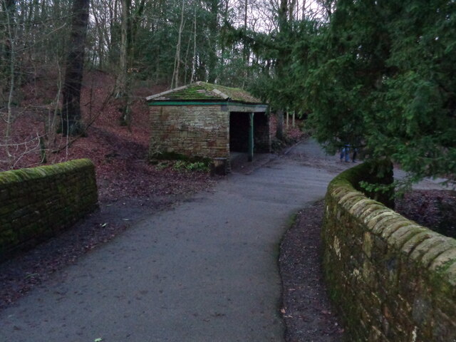
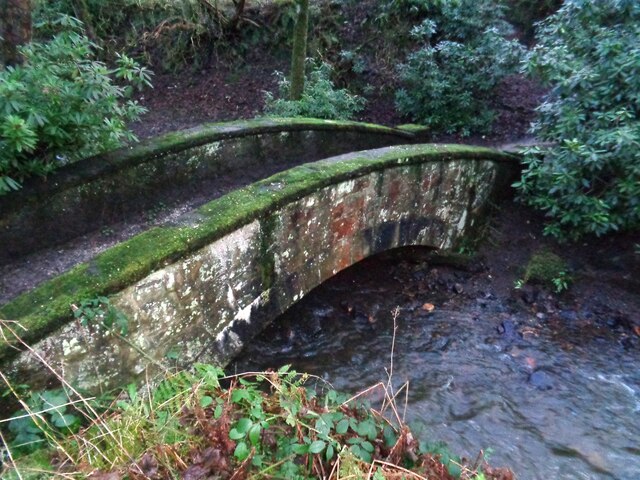
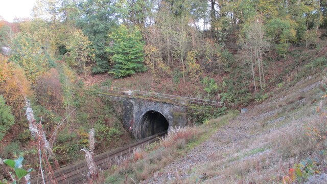
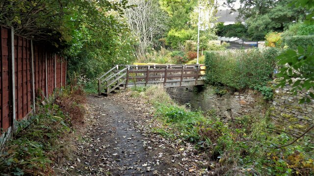
Sagar Banks Plantation offers a network of well-maintained walking trails that wind through the forest. These paths provide visitors with the opportunity to explore and appreciate the natural beauty of the area. There are also designated picnic areas, allowing visitors to relax and enjoy the surroundings.

In addition to its recreational value, the plantation plays an important role in conservation efforts. It acts as a carbon sink, absorbing and storing carbon dioxide from the atmosphere, thus contributing to the fight against climate change. The woodland is managed sustainably, with periodic tree planting initiatives to ensure its long-term health and growth.

Overall, Sagar Banks Plantation is a cherished natural gem in Lancashire. Its lush forests, diverse wildlife, and well-maintained trails make it an ideal destination for those seeking solace in nature, as well as a vital contributor to the preservation of the region's ecological balance.

If you have any feedback on the listing, please let us know in the comments section below.

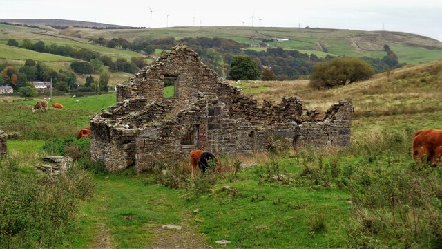
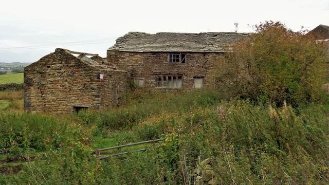
Sagar Banks Plantation Images

Images are sourced within 2km of 53.762941/-2.2227369 or Grid Reference SD8529. Thanks to Geograph Open Source API. All images are credited.

Old Wayside Cross in Tiwneley Park, Burnley Foldys' Cross, an old market cross base in a new cross. Moved to the intersection of footpaths leading towards Todmorden road in Towneley Park, 300 metres southwest of Towneley Hall in Burnley. Grade II Listed <span class="nowrap"><a title="https://historicengland.org.uk/listing/the-list/list-entry/1247301" rel="nofollow ugc noopener" href="https://historicengland.org.uk/listing/the-list/list-entry/1247301">Link</a><img style="margin-left:2px;" alt="External link" title="External link - shift click to open in new window" src="https://s1.geograph.org.uk/img/external.png" width="10" height="10"/></span>. See also <a title="https://www.geograph.org.uk/photo/3569776" href="https://www.geograph.org.uk/photo/3569776">Link</a> and <a title="https://www.geograph.org.uk/photo/1133733" href="https://www.geograph.org.uk/photo/1133733">Link</a>.

Milestone Society National ID: LABU_BUR03
Old Wayside Cross in Tiwneley Park, Burnley
Foldys' Cross, an old market cross base in a new cross. Moved to the intersection of footpaths leading towards Todmorden road in Towneley Park, 300 metres southwest of Towneley Hall in Burnley. Grade II Listed LinkExternal link. See also Link and Link. Milestone Society National ID: LABU_BUR03
Towneley Hall The north east frontage
Towneley Hall
The north east frontage
Park Shelters At Boggart Bridge in Towneley Park Wilderness
Park Shelters
At Boggart Bridge in Towneley Park Wilderness
Ornamental Footbridge In the Wilderness of Towneley Park over Copy Clough
Ornamental Footbridge
In the Wilderness of Towneley Park over Copy Clough
Towneley Railway Tunnel The north portal
Towneley Railway Tunnel
The north portal
Beehive Coke Oven The charging hole decorated for Halloween
Beehive Coke Oven
The charging hole decorated for Halloween
Burnley Way Footbridge Crosses the River Calder to give access to Park Road
Burnley Way Footbridge
Crosses the River Calder to give access to Park Road
Rustic Pavilion For the football fields in Towneley Park
Rustic Pavilion
For the football fields in Towneley Park
Monk's Well In Thanet Lee Wood on the Towneley Estate. Whilst it contains a stone trough, the construction around it is believed to be a re-created Gothick folly.
Monk's Well
In Thanet Lee Wood on the Towneley Estate. Whilst it contains a stone trough, the construction around it is believed to be a re-created Gothick folly.
Modern railings on Beehive Coke Oven The railings are around the charging hole of a preserved historic beehive coke oven. There are many remains on this hillside of the banks of ovens and tramways that served them, but only one beehive oven appears complete.
Modern railings on Beehive Coke Oven
The railings are around the charging hole of a preserved historic beehive coke oven. There are many remains on this hillside of the banks of ovens and tramways that served them, but only one beehive oven appears complete.
Waterfall on unnamed stream Paths are being renewed in this area which is the northern boundary of the former Towneley Colliery & Brickworks site (now largely replaced by the housing of The Kilns)
Waterfall on unnamed stream
Paths are being renewed in this area which is the northern boundary of the former Towneley Colliery & Brickworks site (now largely replaced by the housing of The Kilns)
The Singing Ringing Tree One of East Lancashire's Panopticons
The Singing Ringing Tree
One of East Lancashire's Panopticons
The Singing Ringing Tree One of East Lancashire's Panopticons, but I do not think the view is better from on top of the structure
The Singing Ringing Tree
One of East Lancashire's Panopticons, but I do not think the view is better from on top of the structure
Coal Clough Wind Farm Access Road Leads off Red Lees Road at Overtown for those long loads up to The Long Causeway
Coal Clough Wind Farm Access Road
Leads off Red Lees Road at Overtown for those long loads up to The Long Causeway
Honey Holme Lane Approaching Honey Holme after crossing the River Calder
Honey Holme Lane
Approaching Honey Holme after crossing the River Calder
Waterfall in Easden Clough The bridge behind carries Dyneley Lane from Stone House Fold to Dyneley Farm and Bacup Road
Waterfall in Easden Clough
The bridge behind carries Dyneley Lane from Stone House Fold to Dyneley Farm and Bacup Road
Ruin at Stone House Fold
Listed Farmhouse at Dyneley Farm An historic building
Listed Farmhouse at Dyneley Farm
An historic building
Show me another place!

Sagar Banks Plantation is located at Grid Ref: SD8529 (Lat: 53.762941, Lng: -2.2227369)

Administrative County: Lancashire

District: Burnley

Police Authority: Lancashire

What 3 Words

///forget.river.scan. Near Burnley, Lancashire

Related Wikis

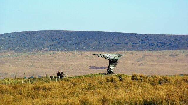
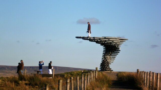
Singing Ringing Tree (sculpture)

The Singing Ringing Tree is a wind powered sound sculpture resembling a tree set in the landscape of the Pennine hill range overlooking Burnley, in Lancashire...

Cliviger

Cliviger is a civil parish in the Borough of Burnley, in Lancashire, England. It is situated to the southeast of Burnley, and northwest of Todmorden....
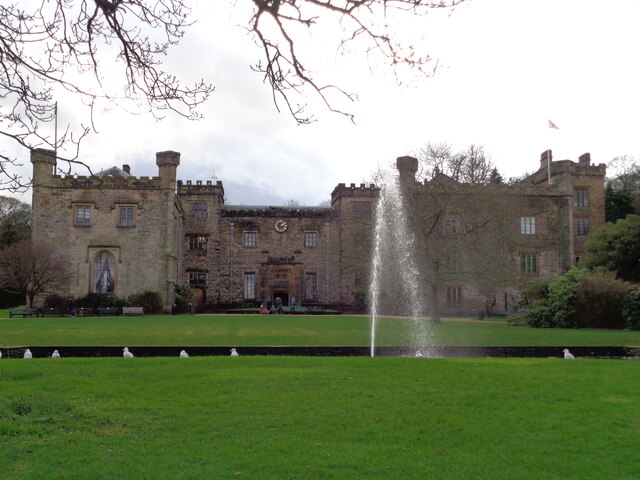
Towneley Park

Towneley Park is owned and managed by Burnley Borough Council and is the largest and most popular park in Burnley, Lancashire, England. The main entrance...

Towneley Colliery

Towneley Colliery or Towneley Desmesne was a coal mine on the Burnley Coalfield in Burnley, Lancashire, England. Sunk in the late 1860s, it was linked...

Towneley railway station

Towneley railway station was a station in Lancashire which served Burnley Wood and the nearby Towneley Hall on the eastern edge of Burnley. Opened on 12...

Habergham Eaves

Habergham Eaves is a civil parish in the borough of Burnley, in Lancashire, England. The parish consists of a rural area south of Burnley, and suburban...

Unity College, Burnley

Unity College is a mixed 11-16 comprehensive school in Burnley, Lancashire, England. == History == === Former school === Towneley High School originally...

Burnley Wood

Burnley Wood is a district and former electoral ward of Burnley, Lancashire. In broad terms the area lies between Parliament Street in the north and Hufling...

Nearby Amenities

Located within 500m of 53.762941,-2.2227369
Entrance: yes
Lat/Long: 53.7610246/-2.2166373
The data included in this document is from www.openstreetmap.org. The data is made available under ODbL.

Have you been to Sagar Banks Plantation?

Leave your review of Sagar Banks Plantation below (or comments, questions and feedback).