Tommy Clarke Wood
Wood, Forest in Yorkshire Craven
England
Tommy Clarke Wood
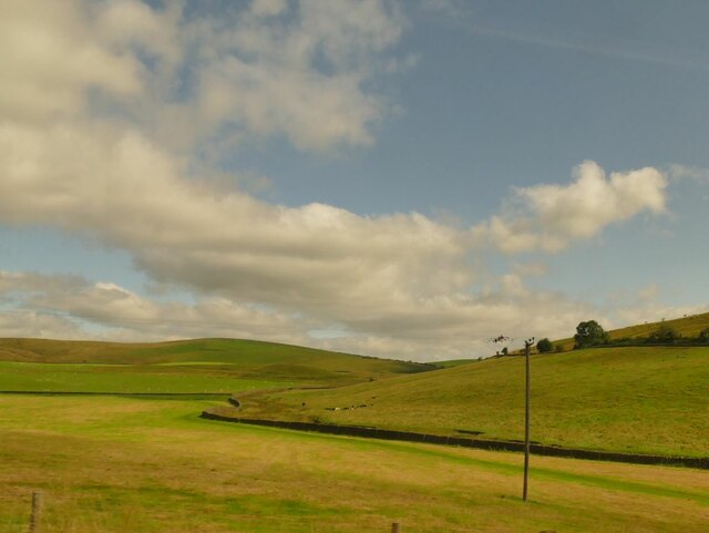
Tommy Clarke Wood is a picturesque forest located in the county of Yorkshire, England. Covering an area of approximately 50 acres, this woodland is known for its natural beauty and diverse wildlife. The wood is situated in a tranquil setting, surrounded by rolling hills and stunning landscapes.
The forest is predominantly made up of deciduous trees, including oak, beech, and birch, creating a vibrant and colorful canopy during the autumn months. The woodland floor is covered with a variety of wildflowers, such as bluebells and primroses, adding to the enchanting atmosphere.
Tommy Clarke Wood is a haven for wildlife enthusiasts, offering a habitat for numerous species. It is a popular spot for birdwatching, with sightings of birds such as woodpeckers, owls, and various songbirds. The forest is also home to small mammals like rabbits, squirrels, and foxes, which can often be spotted darting through the undergrowth.
The wood is well-maintained, with designated walking trails that allow visitors to explore its natural wonders. These paths meander through the forest, offering glimpses of hidden clearings and babbling brooks. It is a peaceful place to escape the hustle and bustle of urban life and connect with nature.
Tommy Clarke Wood is a true gem in Yorkshire's natural landscape, offering a serene and rejuvenating experience for nature lovers. Whether it's a leisurely stroll, birdwatching, or simply enjoying the tranquility, this woodland is a must-visit destination for anyone seeking solace in the beauty of nature.
If you have any feedback on the listing, please let us know in the comments section below.
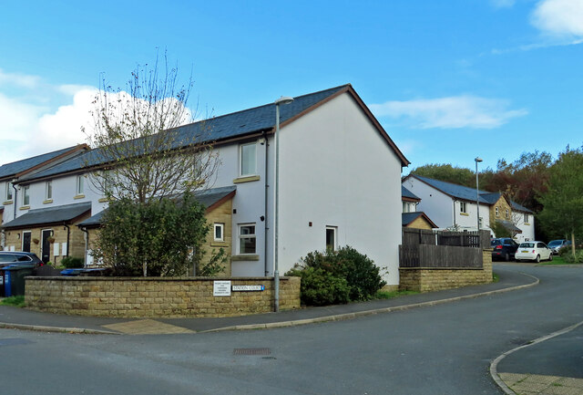
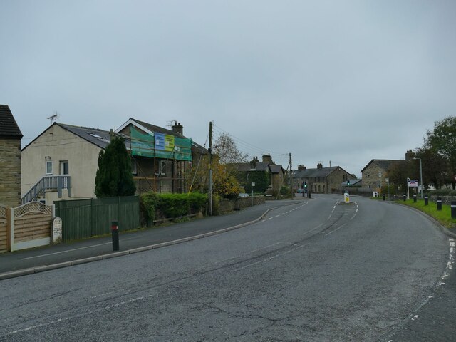
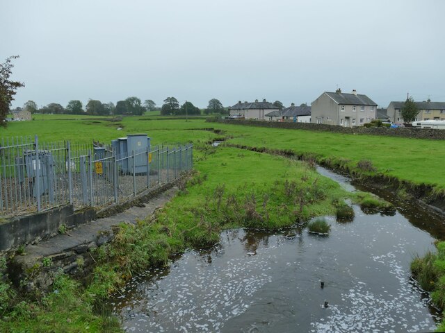
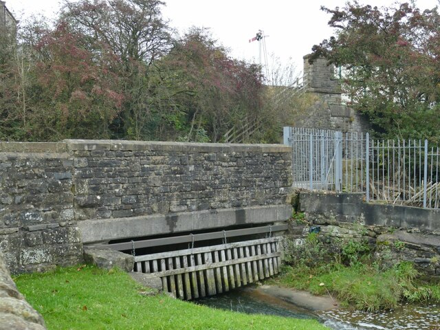
Tommy Clarke Wood Images
Images are sourced within 2km of 53.993109/-2.2239496 or Grid Reference SD8555. Thanks to Geograph Open Source API. All images are credited.


Tommy Clarke Wood is located at Grid Ref: SD8555 (Lat: 53.993109, Lng: -2.2239496)
Division: West Riding
Administrative County: North Yorkshire
District: Craven
Police Authority: North Yorkshire
What 3 Words
///electrode.facing.caramel. Near Hellifield, North Yorkshire
Nearby Locations
Related Wikis

Swinden
Swinden is a village in the civil parish of Hellifield, in North Yorkshire, England. It is near Halton West and Nappa and about 7 miles north of Barnoldswick...

Hellifield
Hellifield is a village and civil parish in the Craven district of North Yorkshire, England (grid reference SD855565). Historically part of the West Riding...

Halton West
Halton West is a village and civil parish in the Craven district of North Yorkshire, England. North Yorkshire County Council estimated the population in...

Nappa, North Yorkshire
Nappa is a hamlet in the civil parish of Hellifield, in North Yorkshire, England. It is on the A682 road and 6 miles (9.7 km) north-west of Barnoldswick...
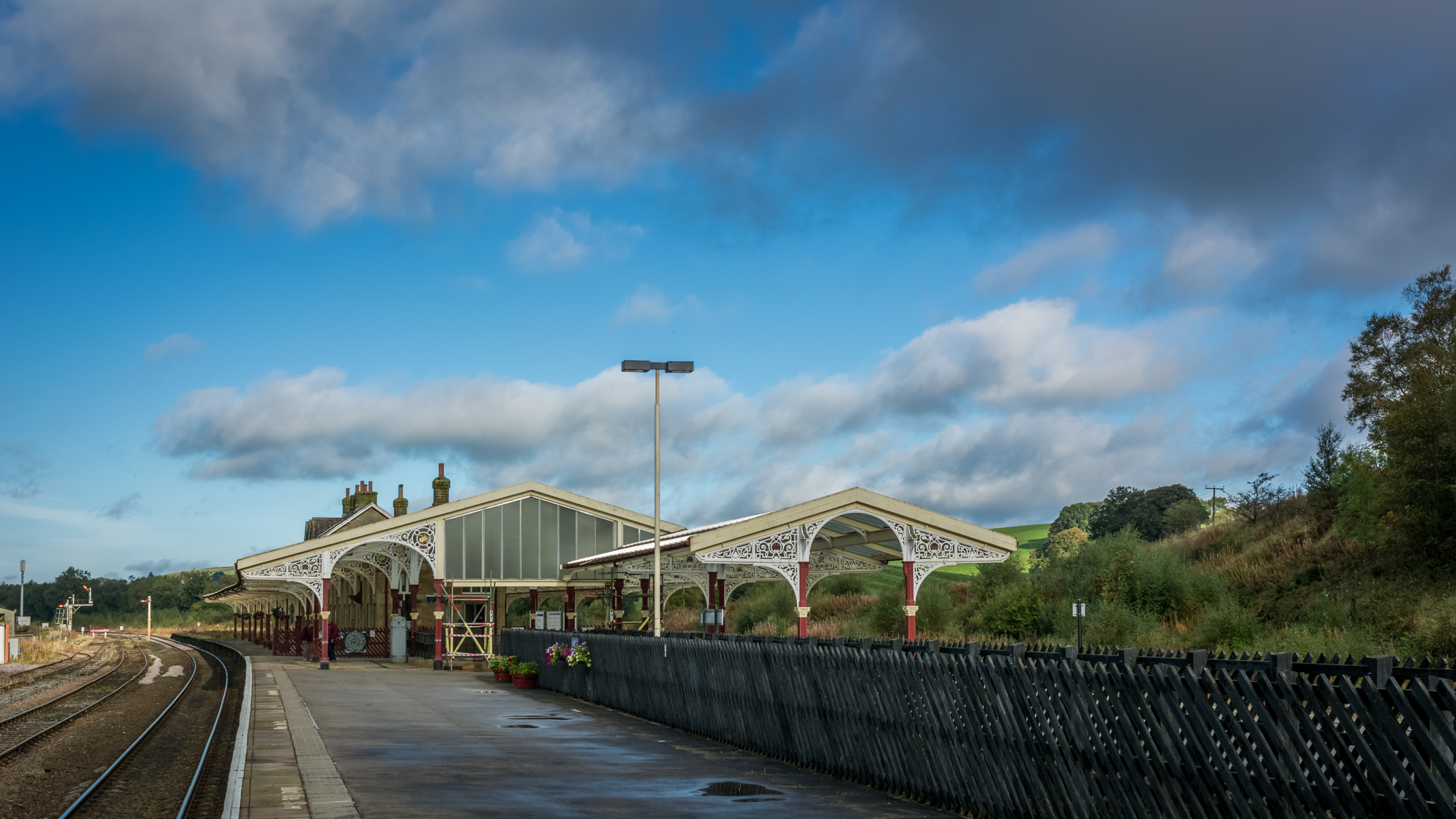
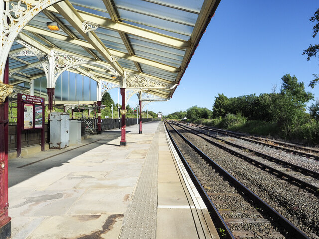
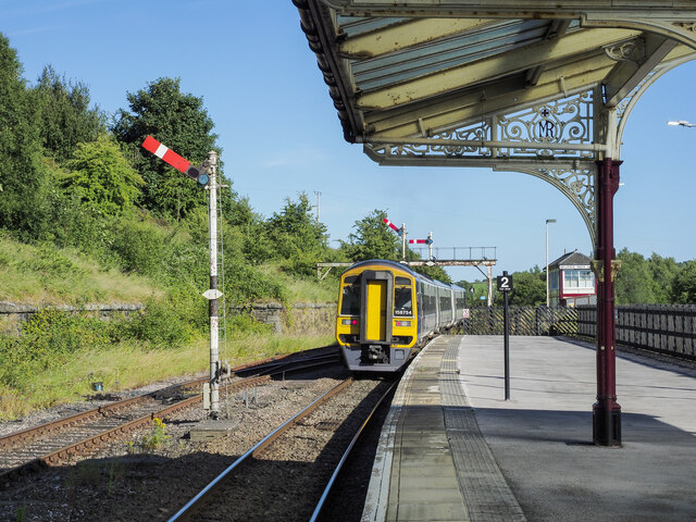
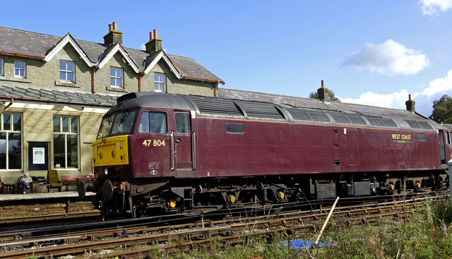
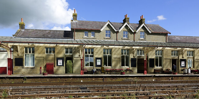
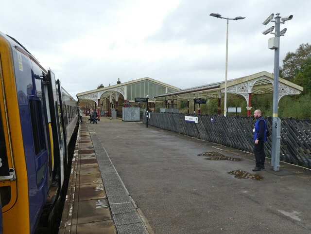
Hellifield railway station
Hellifield is a railway station on the Bentham Line, which runs between Leeds and Morecambe via Skipton. The station, situated 36 miles 17 chains (58.3...

Hellifield engine shed
Hellifield Engine Shed was a railway locomotive depot adjacent to Hellifield railway station in North Yorkshire, England. The depot opened in 1880 and...

Long Preston railway station
Long Preston is a railway station on the Bentham Line, which runs between Leeds and Morecambe via Skipton. The station, situated 37+1⁄2 miles (60 km) north...
Long Preston
Long Preston is a village and civil parish in the Craven district of North Yorkshire, England, in the Yorkshire Dales. It lies along the A65 road, and...
Nearby Amenities
Located within 500m of 53.993109,-2.2239496Have you been to Tommy Clarke Wood?
Leave your review of Tommy Clarke Wood below (or comments, questions and feedback).