Dixon Hill
Hill, Mountain in Lancashire Burnley
England
Dixon Hill
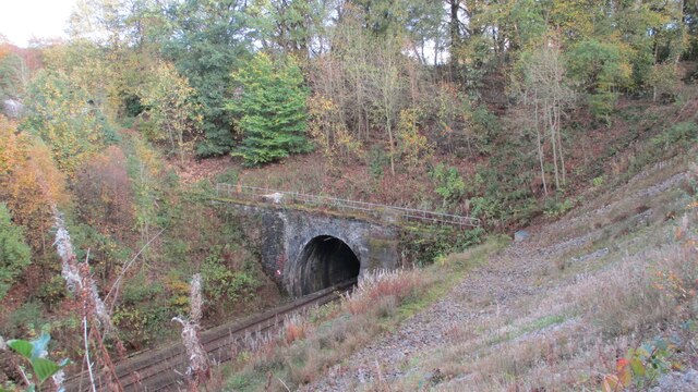
Dixon Hill is a small hill located in the county of Lancashire, England. Situated in the northwestern part of the county, it forms part of the picturesque landscape that characterizes this region. Although not particularly tall or imposing, Dixon Hill offers visitors stunning panoramic views of the surrounding countryside.
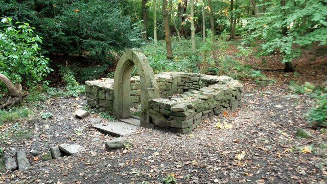
Covered in lush green vegetation, the hill is a popular destination for hikers, nature enthusiasts, and photographers. Its gentle slopes and well-maintained trails make it accessible to people of all ages and fitness levels. The hill's peaceful ambience and tranquil atmosphere provide a welcome escape from the hustle and bustle of nearby urban areas.
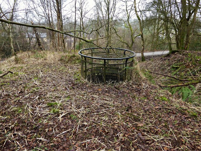
Dixon Hill is also known for its diverse wildlife. The hill is home to a variety of bird species, including buzzards, kestrels, and skylarks. Nature lovers can spot rabbits, foxes, and occasionally deer roaming freely in the surrounding fields.
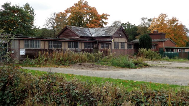
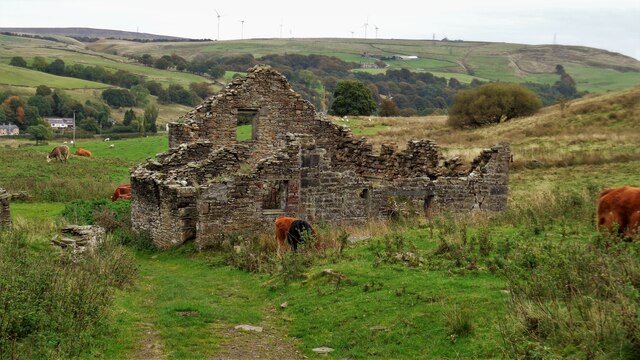
History buffs may find interest in the fact that Dixon Hill has connections to the area's industrial past. The hill sits near former mining sites, reminding visitors of Lancashire's coal mining heritage.
Overall, Dixon Hill offers a serene and enjoyable experience for those seeking a peaceful retreat in the heart of Lancashire. Whether it's for a leisurely stroll, a picnic with family and friends, or simply to admire the breathtaking views, this charming hill provides a delightful escape from the daily routine.
If you have any feedback on the listing, please let us know in the comments section below.
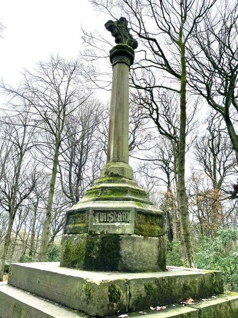
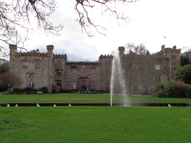
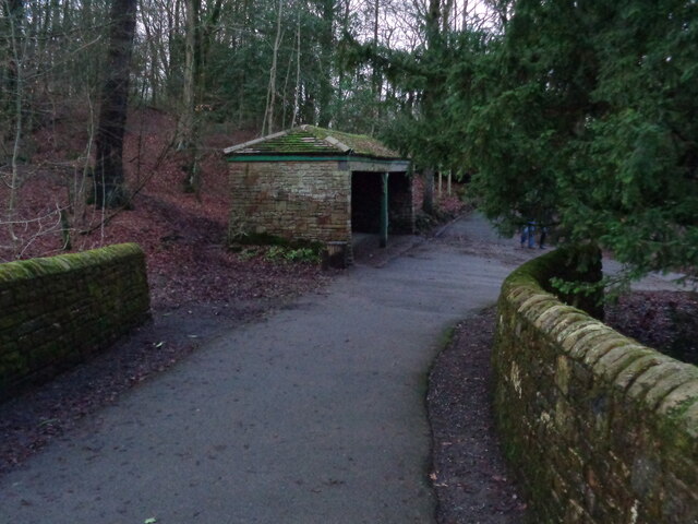
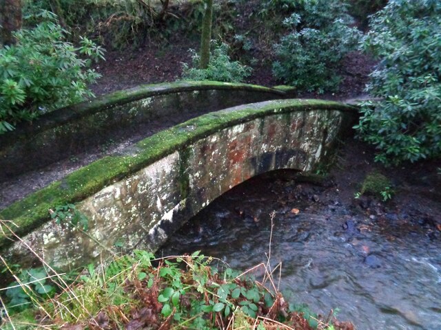
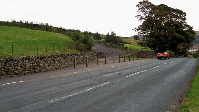
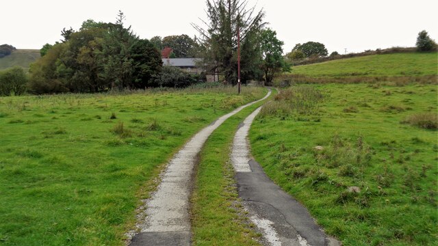
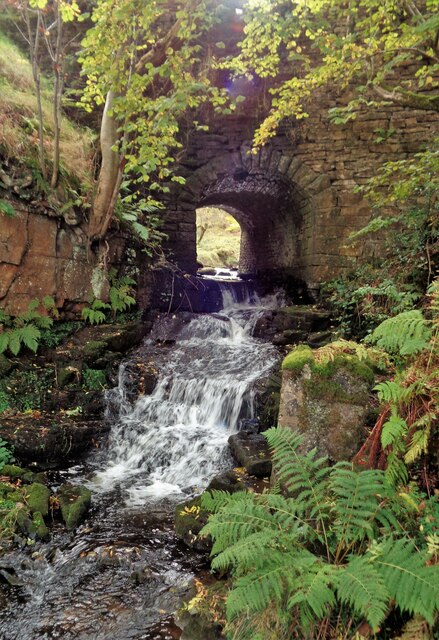
Dixon Hill Images
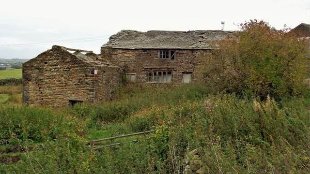
Images are sourced within 2km of 53.758372/-2.2244418 or Grid Reference SD8529. Thanks to Geograph Open Source API. All images are credited.

Dixon Hill is located at Grid Ref: SD8529 (Lat: 53.758372, Lng: -2.2244418)
Administrative County: Lancashire
District: Burnley
Police Authority: Lancashire
What 3 Words
///trip.curve.draw. Near Burnley, Lancashire
Nearby Locations
Related Wikis

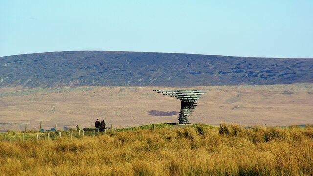
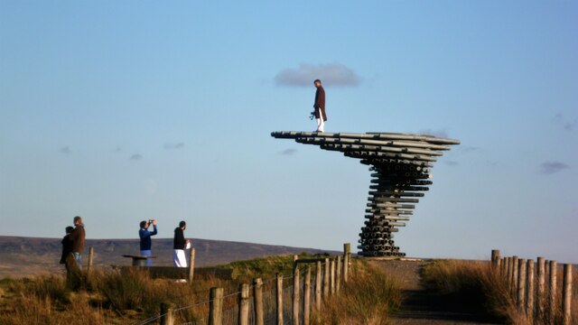
Singing Ringing Tree (sculpture)
The Singing Ringing Tree is a wind powered sound sculpture resembling a tree set in the landscape of the Pennine hill range overlooking Burnley, in Lancashire...

Cliviger
Cliviger is a civil parish in the Borough of Burnley, in Lancashire, England. It is situated to the southeast of Burnley, and northwest of Todmorden....

Towneley Park
Towneley Park is owned and managed by Burnley Borough Council and is the largest and most popular park in Burnley, Lancashire, England. The main entrance...

Towneley Colliery
Towneley Colliery or Towneley Desmesne was a coal mine on the Burnley Coalfield in Burnley, Lancashire, England. Sunk in the late 1860s, it was linked...
Nearby Amenities
Located within 500m of 53.758372,-2.2244418Have you been to Dixon Hill?
Leave your review of Dixon Hill below (or comments, questions and feedback).