Dog Wood
Wood, Forest in Worcestershire Malvern Hills
England
Dog Wood
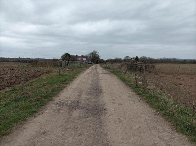
Dog Wood is a small woodland located in Worcestershire, England. It is situated within the larger expanse of the Wyre Forest, a designated site of Special Scientific Interest (SSSI) and a popular destination for nature enthusiasts. Dog Wood covers an area of approximately 10 acres and is characterized by its diverse range of tree species, including oak, birch, beech, and ash.
The woodland is renowned for its picturesque beauty, with a dense canopy providing shade and shelter for a variety of wildlife. Visitors to Dog Wood can expect to encounter a plethora of bird species, such as woodpeckers, nuthatches, and tawny owls, as well as small mammals like foxes, badgers, and rabbits. The forest floor is adorned with an array of wildflowers, adding to the enchanting atmosphere.
Dog Wood is easily accessible through well-maintained footpaths, allowing visitors to explore the woodland at their leisure. It is a popular spot for dog walkers, as the name suggests, offering a tranquil environment for both dogs and their owners to enjoy. The wood also provides ample opportunities for photography and nature observation, with its ever-changing seasonal colors and vibrant wildlife.
The management of Dog Wood is overseen by the Forestry Commission, ensuring its preservation and conservation for future generations to appreciate. With its natural beauty and abundant wildlife, Dog Wood is undoubtedly a cherished gem within the Worcestershire landscape, offering a peaceful retreat for all who venture into its embrace.
If you have any feedback on the listing, please let us know in the comments section below.
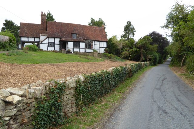
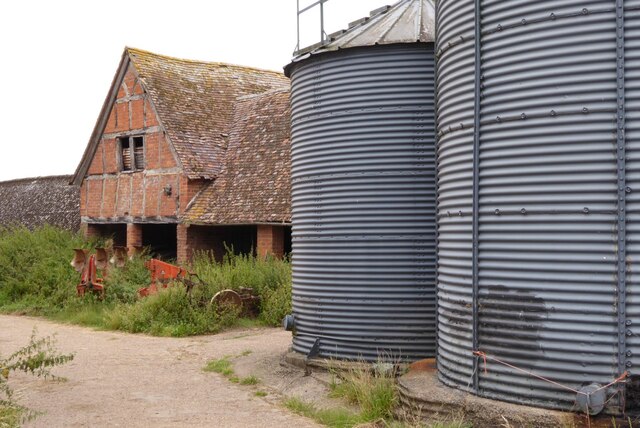
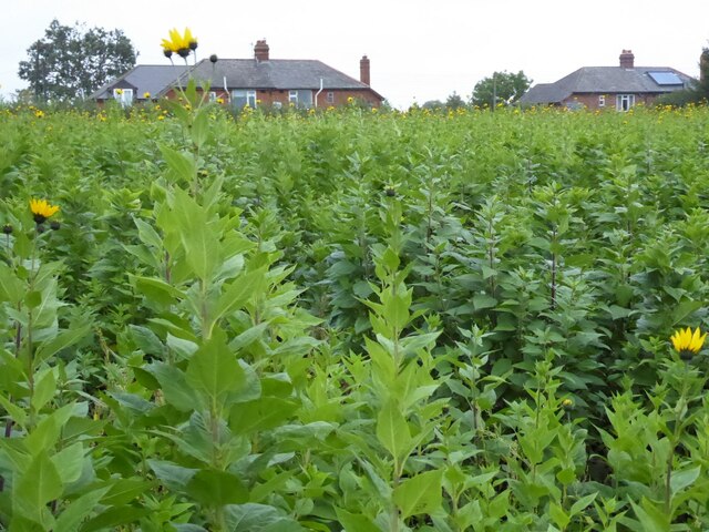
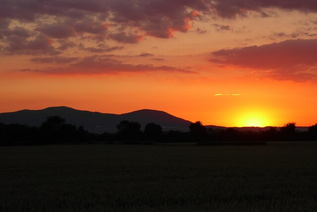
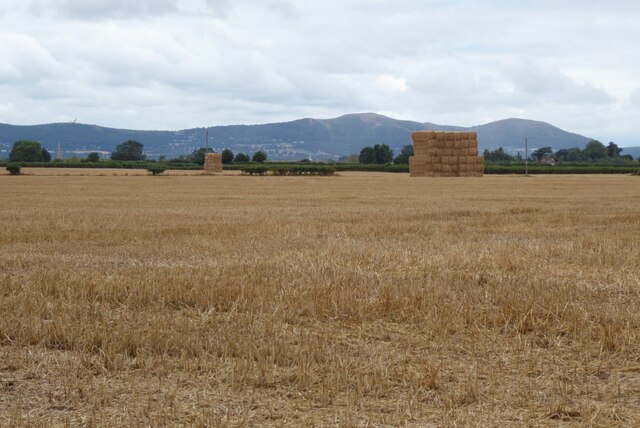
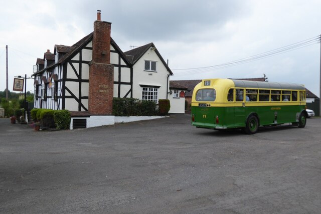
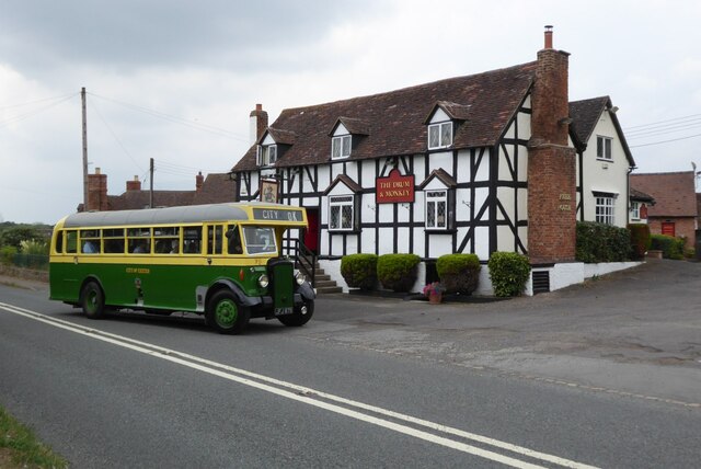
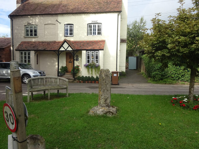
Dog Wood Images
Images are sourced within 2km of 52.045254/-2.2113467 or Grid Reference SO8538. Thanks to Geograph Open Source API. All images are credited.


Dog Wood is located at Grid Ref: SO8538 (Lat: 52.045254, Lng: -2.2113467)
Administrative County: Worcestershire
District: Malvern Hills
Police Authority: West Mercia
What 3 Words
///bought.piglets.laminate. Near Upton upon Severn, Worcestershire
Nearby Locations
Related Wikis

Holdfast, Worcestershire
Holdfast is a civil parish in the Malvern Hills District of the county of Worcestershire, England. It is one of three administered by the Parish Council...
Saxon's Lode
Saxon's Lode is a hamlet on the banks of the River Severn in the parish of Ripple, Worcestershire. == Toponomy == It is thought the Lode element may refer...
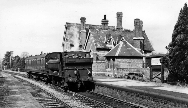
Upton-on-Severn railway station
Upton-on-Severn railway station was a railway station serving Upton-on-Severn in the English county of Worcestershire. == History == It was opened...

Queenhill
Queenhill is a civil parish and hamlet in the Malvern Hills District of the county of Worcestershire, England. It is one of three parishes administered...

Battle of Ripple Field
The Battle of Ripple Field, fought on 13 April 1643, was an engagement in the First English Civil War. In the battle, a Royalist cavalry force led by Prince...
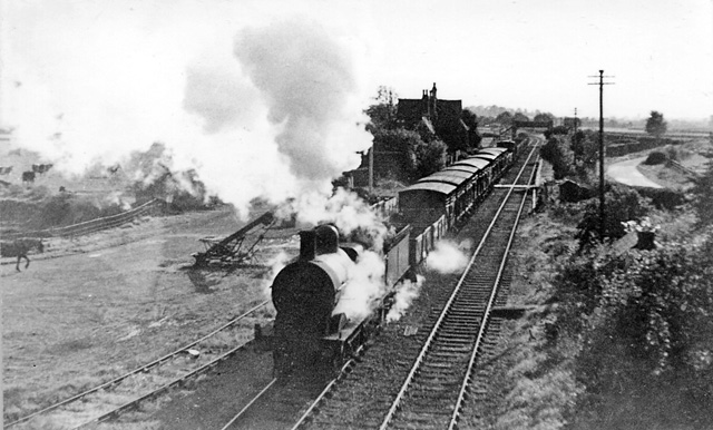
Ripple railway station
Ripple railway station was a station on the Midland Railway between Great Malvern and Evesham. It opened on 16 May 1864 by the Tewkesbury and Malvern...
Ripple, Worcestershire
Ripple is a village and civil parish in the county of Worcestershire, England. Ripple is one of the most southerly parishes in the county and is situated...

Upton-upon-Severn
Upton-upon-Severn (or Upton on Severn, etc. and locally simply Upton) is a town and civil parish in the Malvern Hills District of Worcestershire, England...
Nearby Amenities
Located within 500m of 52.045254,-2.2113467Have you been to Dog Wood?
Leave your review of Dog Wood below (or comments, questions and feedback).