Icehouse Plantation
Wood, Forest in Worcestershire Malvern Hills
England
Icehouse Plantation
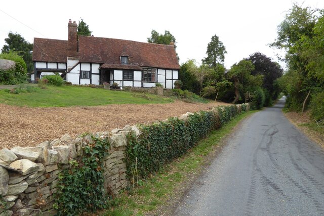
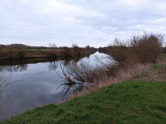
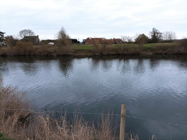
Icehouse Plantation, located in Worcestershire, England, is a picturesque woodland estate encompassing vast stretches of serene forests and woodlands. Spanning over a considerable area, the plantation offers a captivating and tranquil retreat for nature enthusiasts and those seeking solace amidst the beauty of the outdoors.
The plantation boasts an abundance of diverse plant and animal life, making it an ideal destination for wildlife enthusiasts. Visitors can expect to encounter a variety of indigenous species, ranging from majestic deer and foxes to a plethora of bird species. The wooded areas offer a perfect habitat for these creatures, ensuring a harmonious coexistence between man and nature.
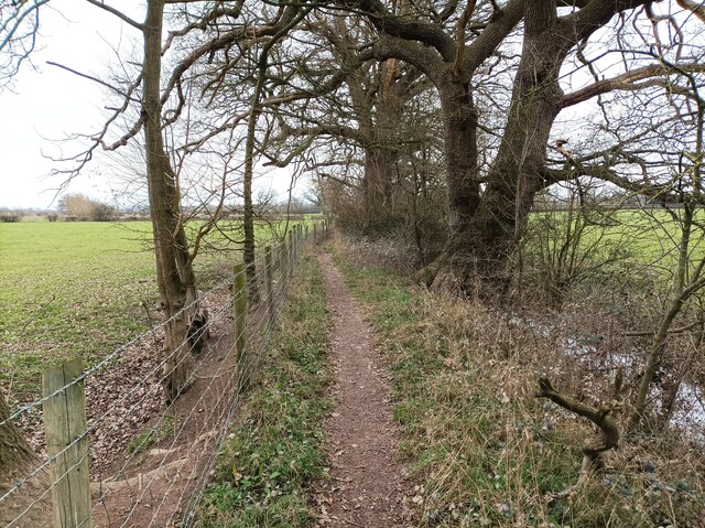
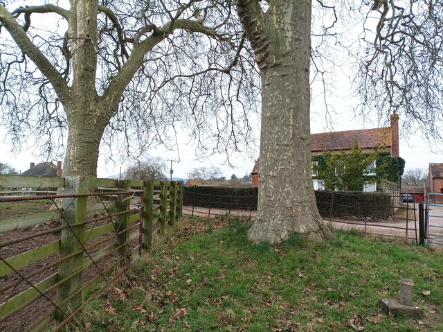
The woodlands of Icehouse Plantation are a testament to the region's rich natural heritage, with towering oak, beech, and birch trees dominating the landscape. The canopy of the forest creates a cool, shaded environment, perfect for leisurely strolls or picnics on warm summer days.
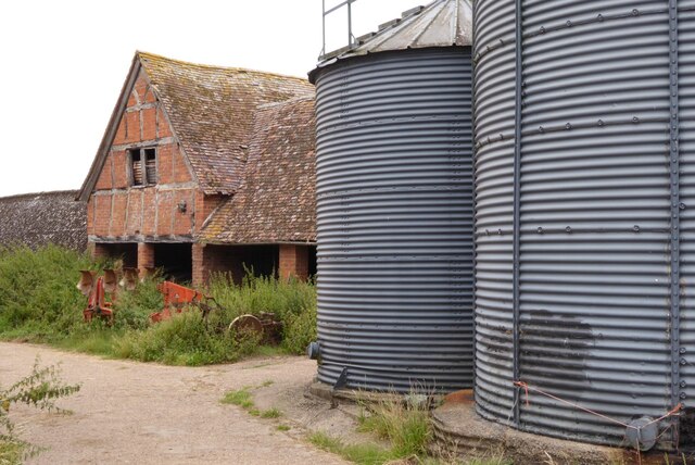
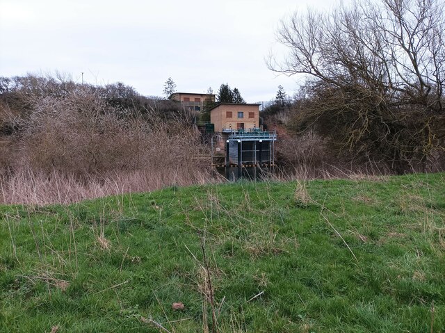
A key feature of the plantation is its icehouse, dating back to the 18th century. This historic structure was once used for storing ice, harvested from nearby ponds during the winter months, to preserve food and provide a source of refrigeration in the past. The icehouse stands as a reminder of the area's historical significance and serves as a fascinating attraction for history enthusiasts.
Icehouse Plantation, with its breathtaking woodlands, diverse wildlife, and historical landmarks, offers a captivating experience for visitors of all ages. Whether one seeks tranquility, a connection with nature, or a glimpse into the past, this Worcestershire gem is sure to leave a lasting impression.
If you have any feedback on the listing, please let us know in the comments section below.
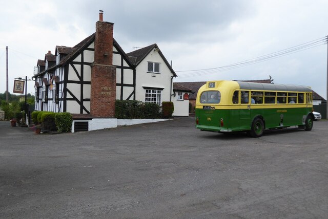
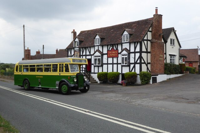
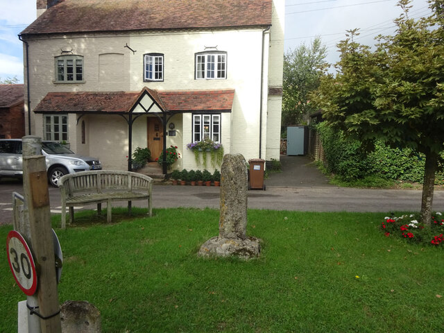
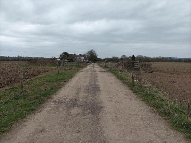
Icehouse Plantation Images
Images are sourced within 2km of 52.047149/-2.2172174 or Grid Reference SO8538. Thanks to Geograph Open Source API. All images are credited.


Icehouse Plantation is located at Grid Ref: SO8538 (Lat: 52.047149, Lng: -2.2172174)
Administrative County: Worcestershire
District: Malvern Hills
Police Authority: West Mercia
What 3 Words
///armrest.included.shielding. Near Upton upon Severn, Worcestershire
Nearby Locations
Related Wikis

Holdfast, Worcestershire
Holdfast is a civil parish in the Malvern Hills District of the county of Worcestershire, England. It is one of three administered by the Parish Council...
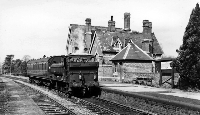
Upton-on-Severn railway station
Upton-on-Severn railway station was a railway station serving Upton-on-Severn in the English county of Worcestershire. == History == It was opened...

Lordship of Saxons Lode
The Lordship of Saxons Lode or warlord of Saxons Lode (Old English for 'Lord of Viking's Iron') (Icelandic: Lávarður Saxa Lode, Danish: Herre af Sakserne...

Upton-upon-Severn
Upton-upon-Severn (or Upton on Severn, etc. and locally simply Upton) is a town and civil parish in the Malvern Hills District of Worcestershire, England...

Queenhill
Queenhill is a civil parish and hamlet in the Malvern Hills District of the county of Worcestershire, England. It is one of three parishes administered...

Battle of Upton
The Battle of Upton was fought on 28 August 1651 when a New Model Army detachment under the command of Colonel John Lambert made a surprise attack on Royalists...

Battle of Ripple Field
The Battle of Ripple Field, fought on 13 April 1643, was an engagement in the First English Civil War. In the battle, a Royalist cavalry force led by Prince...
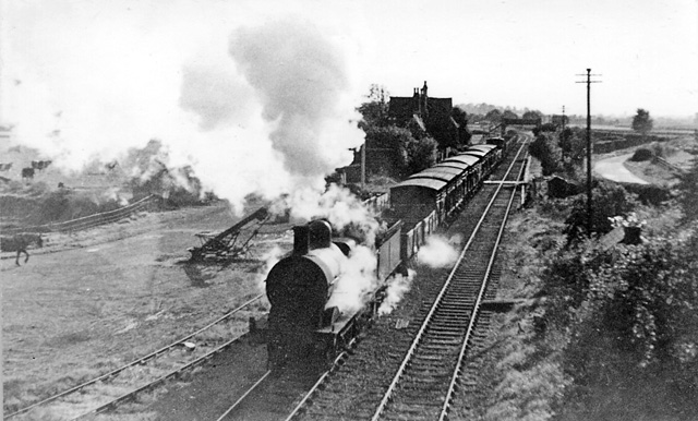
Ripple railway station
Ripple railway station was a station on the Midland Railway between Great Malvern and Evesham. It opened on 16 May 1864 by the Tewkesbury and Malvern...
Nearby Amenities
Located within 500m of 52.047149,-2.2172174Have you been to Icehouse Plantation?
Leave your review of Icehouse Plantation below (or comments, questions and feedback).