Long Valley
Lake, Pool, Pond, Freshwater Marsh in Hampshire Rushmoor
England
Long Valley

Long Valley, situated in Hampshire, is a picturesque region known for its exceptional natural beauty and diverse aquatic ecosystems. This area boasts a variety of water bodies, including a lake, pool, pond, and freshwater marsh, each contributing to the overall charm of this idyllic landscape.
The centerpiece of Long Valley is its expansive lake, stretching across the heart of the region. With its crystal-clear waters, this lake serves as a popular destination for boating, fishing, and water sports enthusiasts. The lake is surrounded by lush greenery, providing a serene and tranquil atmosphere for visitors to enjoy.
Adjacent to the lake is a stunning pool, characterized by its calm and shallow waters. This pool offers a safe environment for families and children to swim and play in the water. Its gentle currents and sandy shores make it a haven for relaxation and leisurely activities.
In addition to the lake and pool, Long Valley is home to a charming pond, nestled amidst a verdant landscape. This smaller water body is teeming with aquatic life, including various species of fish, frogs, and waterfowl. Its serene ambiance makes it a popular spot for nature enthusiasts and photographers.
Finally, Long Valley boasts a remarkable freshwater marsh, characterized by its lush vegetation and diverse flora and fauna. This marshland serves as a vital habitat for numerous bird species and provides a unique opportunity for birdwatching and nature exploration.
Overall, Long Valley offers a captivating blend of water bodies, from its expansive lake to its serene pool, charming pond, and vibrant freshwater marsh. This remarkable natural landscape attracts visitors seeking relaxation, adventure, and a chance to immerse themselves in the beauty of Hampshire's aquatic ecosystems.
If you have any feedback on the listing, please let us know in the comments section below.
Long Valley Images
Images are sourced within 2km of 51.265134/-0.80261415 or Grid Reference SU8352. Thanks to Geograph Open Source API. All images are credited.


Long Valley is located at Grid Ref: SU8352 (Lat: 51.265134, Lng: -0.80261415)
Administrative County: Hampshire
District: Rushmoor
Police Authority: Hampshire
What 3 Words
///processor.sunblock.spots. Near Fleet, Hampshire
Nearby Locations
Related Wikis

Eelmoor Marsh
Eelmoor Marsh is a 66.3-hectare (164-acre) biological Site of Special Scientific Interest between Fleet and Farnborough in Hampshire. It is part of Thames...

Bourley and Long Valley
Bourley and Long Valley is a 823.5-hectare (2,035-acre) biological Site of Special Scientific Interest between Fleet and Aldershot in Hampshire. It is...
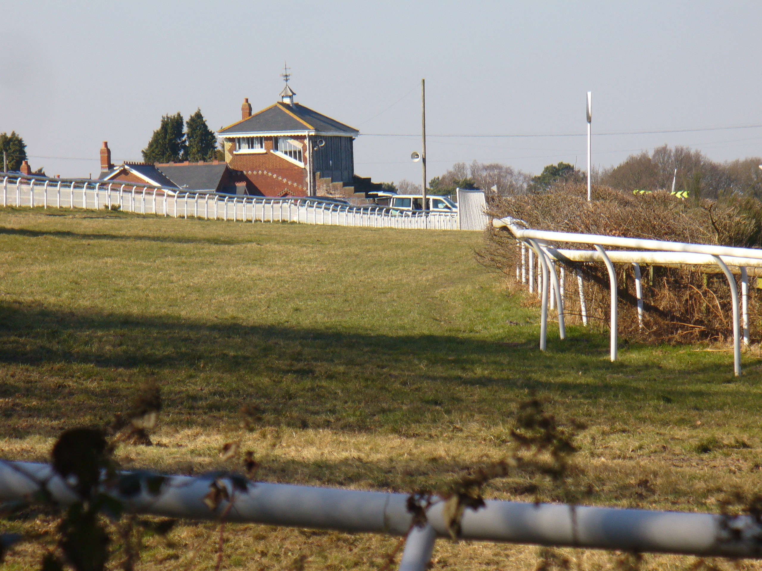
Tweseldown Racecourse
Tweseldown Racecourse southeast of Fleet, Hampshire was originally a National Hunt steeplechasing venue and the home of the equestrian dressage and eventing...

Rushmoor Arena
Rushmoor Arena is an outdoor arena in Aldershot. It is a secure area of 28 Hectares (68 acres) surrounded by a security fence which is mainly hidden by...
Farnborough North End F.C.
Farnborough North End Football Club is a football club based in Farnborough, Hampshire. They are currently members of the Guildford & Woking Alliance Division...
National Gas Turbine Establishment
The National Gas Turbine Establishment (NGTE Pyestock) in Farnborough, part of the Royal Aircraft Establishment (RAE), was the prime site in the UK for...

Equestrian statue of the Duke of Wellington, Aldershot
The Wellington statue in Aldershot, England is a monument to Arthur Wellesley, 1st Duke of Wellington, victor at the Battle of Waterloo and later prime...

Royal Pavilion, Aldershot
The Royal Pavilion, also known as the Queen's Pavilion, was a royal residence located at Aldershot in Hampshire. The most unpretentious of all royal residences...
Nearby Amenities
Located within 500m of 51.265134,-0.80261415Have you been to Long Valley?
Leave your review of Long Valley below (or comments, questions and feedback).