Norris Hill Copse
Wood, Forest in Hampshire Hart
England
Norris Hill Copse

Norris Hill Copse is a picturesque woodland located in the county of Hampshire, England. Covering an area of approximately 50 acres, it is situated near the village of Norris Hill, offering a tranquil retreat for nature enthusiasts and visitors seeking solace in the midst of nature.
The copse is predominantly composed of native deciduous trees such as oak, beech, and birch, which provide a rich canopy and create a beautiful, dappled sunlight effect on the forest floor. The woodland is also interspersed with small clearings and meandering footpaths, making it an ideal location for leisurely walks and family picnics.
Throughout the seasons, Norris Hill Copse showcases a stunning array of natural beauty. In spring, the forest bursts into life with a vibrant display of bluebells, primroses, and wild garlic, filling the air with their sweet fragrance. During the summer months, the trees provide welcome shade, and the copse becomes a haven for various bird species, including woodpeckers and nuthatches.
As autumn arrives, the woodland transforms into a palette of warm hues, with the leaves turning shades of gold, orange, and red. This spectacle attracts both locals and tourists who come to witness the captivating seasonal change. Winter brings a different charm to Norris Hill Copse, with frost-covered branches and the occasional dusting of snow creating a serene and magical atmosphere.
Managed by the local council, Norris Hill Copse offers a well-maintained network of paths and benches for visitors to rest and enjoy the peaceful surroundings. It also serves as an important habitat for a wide range of flora and fauna, supporting various wildlife species including deer, foxes, and numerous bird species.
Overall, Norris Hill Copse is a natural gem, providing a haven of tranquility and natural beauty for all who venture into its woodland embrace.
If you have any feedback on the listing, please let us know in the comments section below.
Norris Hill Copse Images
Images are sourced within 2km of 51.267514/-0.80756923 or Grid Reference SU8352. Thanks to Geograph Open Source API. All images are credited.


Norris Hill Copse is located at Grid Ref: SU8352 (Lat: 51.267514, Lng: -0.80756923)
Administrative County: Hampshire
District: Hart
Police Authority: Hampshire
What 3 Words
///rocked.beauty.animates. Near Fleet, Hampshire
Nearby Locations
Related Wikis

Eelmoor Marsh
Eelmoor Marsh is a 66.3-hectare (164-acre) biological Site of Special Scientific Interest between Fleet and Farnborough in Hampshire. It is part of Thames...
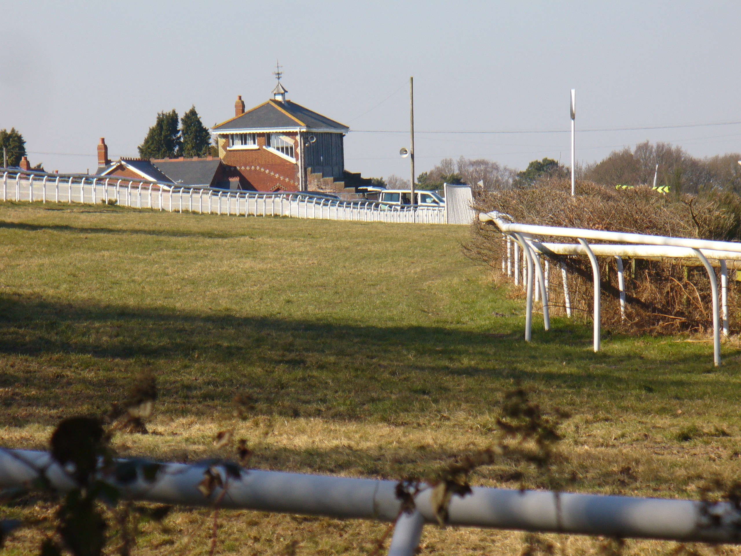
Tweseldown Racecourse
Tweseldown Racecourse southeast of Fleet, Hampshire was originally a National Hunt steeplechasing venue and the home of the equestrian dressage and eventing...

Bourley and Long Valley
Bourley and Long Valley is a 823.5-hectare (2,035-acre) biological Site of Special Scientific Interest between Fleet and Aldershot in Hampshire. It is...

Farnborough North End F.C.
Farnborough North End Football Club is a football club based in Farnborough, Hampshire. They are currently members of the Guildford & Woking Alliance Division...
National Gas Turbine Establishment
The National Gas Turbine Establishment (NGTE Pyestock) in Farnborough, part of the Royal Aircraft Establishment (RAE), was the prime site in the UK for...
Rushmoor Arena
Rushmoor Arena is an outdoor arena in Aldershot. It is a secure area of 28 Hectares (68 acres) surrounded by a security fence which is mainly hidden by...
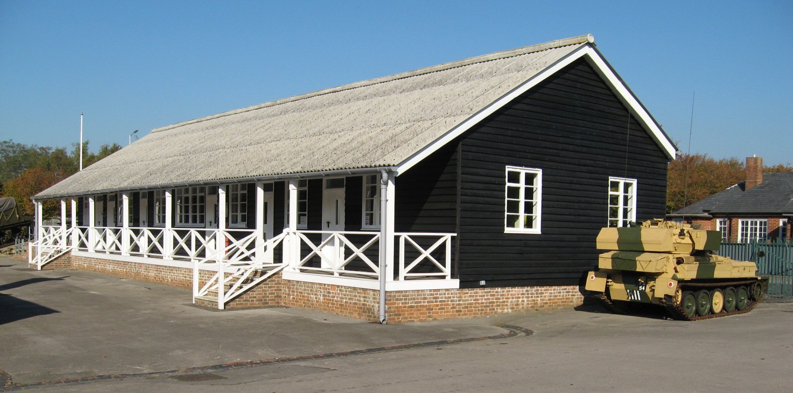
Queen Elizabeth Barracks, Church Crookham
Queen Elizabeth Barracks was a military installation at Church Crookham, Hampshire, England. == History == The barracks, which were originally known as...

Farnborough Airport
Farnborough Airport (IATA: FAB, ICAO: EGLF) (previously called: TAG Farnborough Airport, RAE Farnborough, ICAO Code EGLF) is an operational business/executive...
Nearby Amenities
Located within 500m of 51.267514,-0.80756923Have you been to Norris Hill Copse?
Leave your review of Norris Hill Copse below (or comments, questions and feedback).